The Forest
Wood, Forest in Norfolk Breckland
England
The Forest
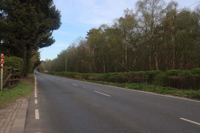
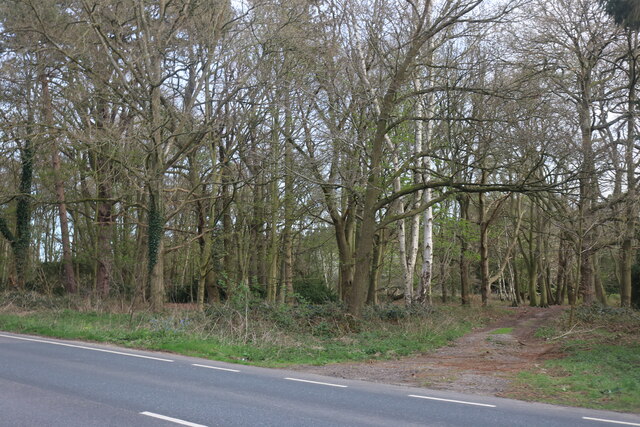
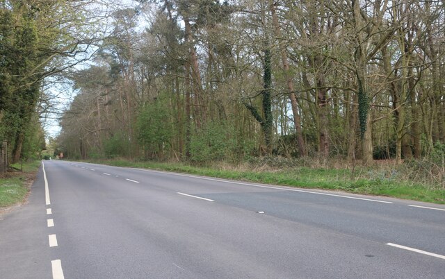
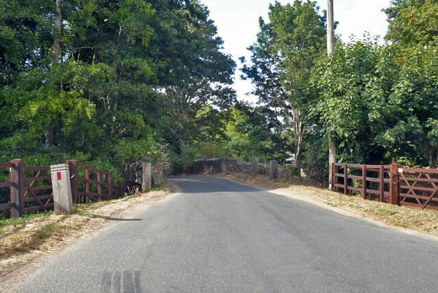
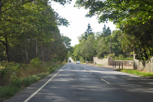
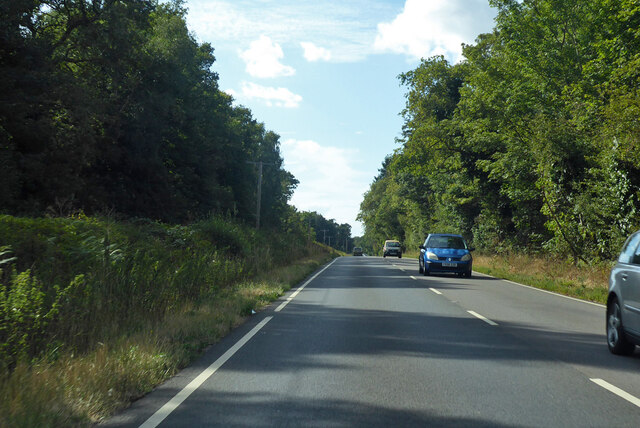
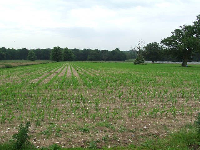
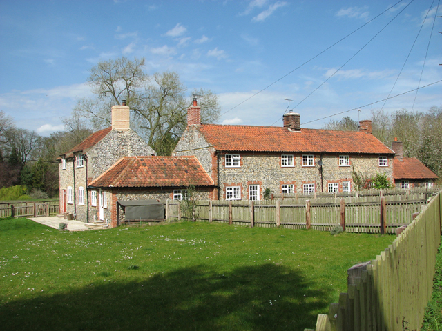
The Forest, Norfolk, also known as Norfolk Wood, is a beautiful woodland located in the county of Norfolk, England. Covering an area of approximately 200 acres, it offers visitors a serene and tranquil environment to explore and enjoy the wonders of nature.
The forest is a mix of deciduous and coniferous trees, including oak, beech, pine, and birch, creating a diverse and vibrant ecosystem. The dense vegetation provides a habitat for a wide range of wildlife, including deer, foxes, rabbits, and numerous species of birds.
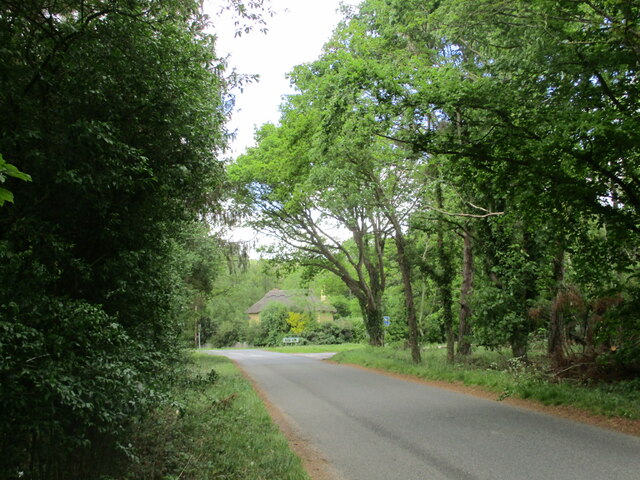
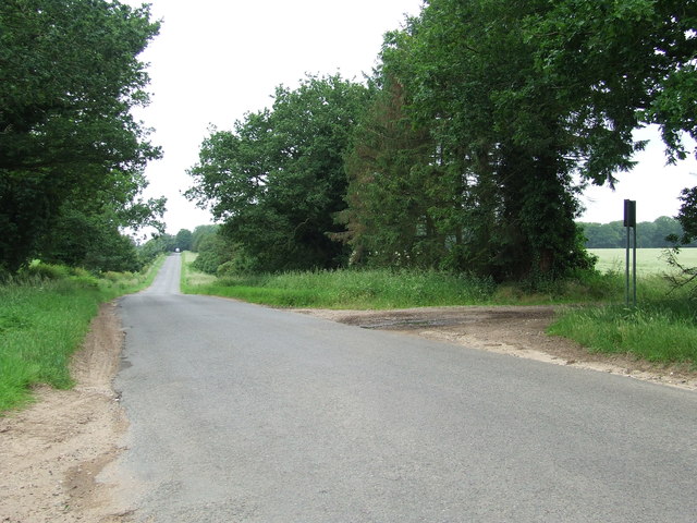
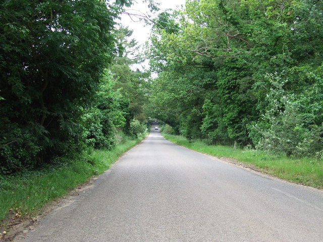
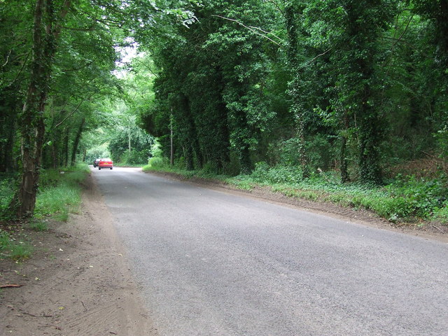
There are several well-maintained walking trails that wind through the forest, allowing visitors to immerse themselves in the natural beauty and serenity of the surroundings. The trails are suitable for all levels of fitness and offer various distances and terrains to cater to different preferences.
For those interested in nature photography or birdwatching, The Forest, Norfolk is a haven. The abundance of wildlife and the lush scenery provide countless opportunities to capture stunning images or observe rare and exotic bird species in their natural habitat.
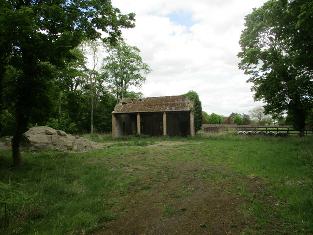
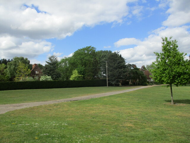
The forest is also a popular destination for families, with picnic areas and designated camping spots available. It is an ideal place to spend a day outdoors, enjoying a picnic with loved ones or engaging in activities such as frisbee, kite flying, or simply relaxing amidst nature.
Overall, The Forest, Norfolk is a picturesque woodland that offers a peaceful retreat from the hustle and bustle of daily life. Whether you are a nature enthusiast, a photographer, or simply seeking a place to unwind, this forest provides a magical experience that will leave you feeling rejuvenated and connected to the beauty of the natural world.
If you have any feedback on the listing, please let us know in the comments section below.
The Forest Images
Images are sourced within 2km of 52.408156/0.80995935 or Grid Reference TL9182. Thanks to Geograph Open Source API. All images are credited.

The Forest is located at Grid Ref: TL9182 (Lat: 52.408156, Lng: 0.80995935)
Administrative County: Norfolk
District: Breckland
Police Authority: Norfolk
What 3 Words
///outdoors.dupe.pulses. Near Thetford, Norfolk
Nearby Locations
Related Wikis

Shadwell Court
Shadwell Court, Brettenham, Norfolk, England is a country house dating originally from the 18th century. Built for the Buxton baronets, the house was massively...

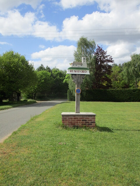
Rushford, Norfolk
Rushford is a small village in the civil parish of Brettenham, in the Breckland district, in the county of Norfolk, England. It is situated on the north...

Brettenham, Norfolk
Brettenham is a village and civil parish in the English county of Norfolk. It covers an area of 26.37 km2 (10.18 sq mi) and had a population of 475 in...

Kilverstone Hall
Kilverstone Hall is a Grade II listed building in Kilverstone in Norfolk, England. == History == Kilverstone Hall is a country house built in the early...

Thetford Bridge railway station
Thetford Bridge railway station served the eastern part of Thetford, Norfolk, England between 1875 and 1953. == History == The railway line between Bury...

Kilverstone
Kilverstone is a civil parish in the English county of Norfolk east of Thetford. It covers an area of 7.46 km2 (2.88 sq mi) and had a population of 60...

Bridgham
Bridgham is a village and civil parish in the English county of Norfolk. It covers an area of 11.06 km2 (4.27 sq mi) and had a population of 328 in 130...
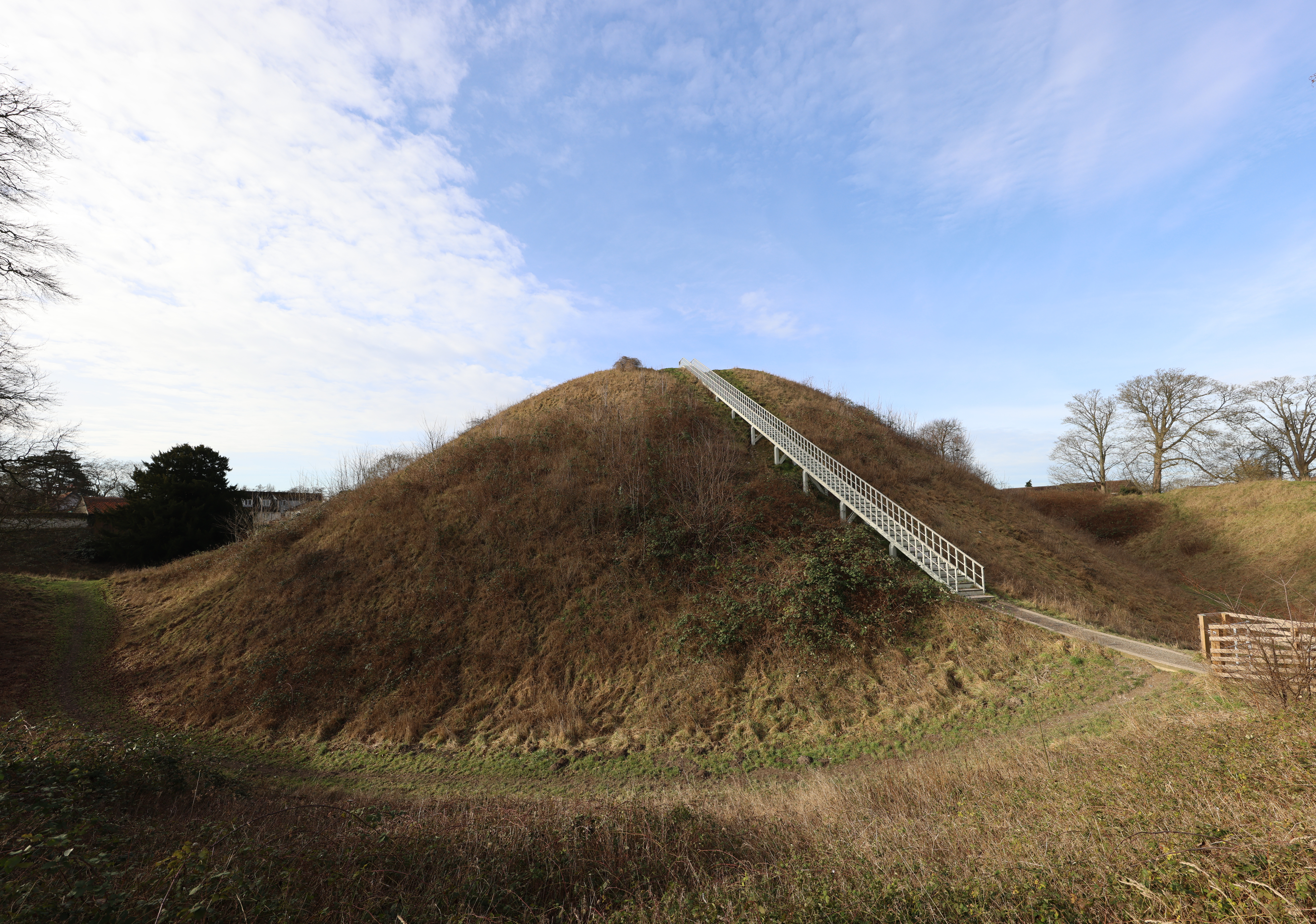
Thetford Castle
Thetford Castle is a medieval motte and bailey castle in the market town of Thetford in the Breckland area of Norfolk, England. The first castle in Thetford...
Nearby Amenities
Located within 500m of 52.408156,0.80995935Have you been to The Forest?
Leave your review of The Forest below (or comments, questions and feedback).