King Edmund's Wood

Wood, Forest in Suffolk Babergh

England

King Edmund's Wood

Railway Maltings Single square kiln.
Railway Maltings Credit: Oast House Archive

King Edmund's Wood is a picturesque woodland located in Suffolk, England. Covering an area of approximately 500 acres, it is named after the legendary King Edmund, who was martyred in the nearby town of Bury St. Edmunds in the 9th century. The wood is a popular destination for nature lovers, hikers, and history enthusiasts alike.

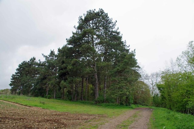
The forest is predominantly composed of broadleaf trees, including oak, beech, and birch, creating a rich and diverse ecosystem. It is home to a variety of wildlife, such as deer, foxes, badgers, and numerous bird species, making it a haven for nature enthusiasts and birdwatchers.

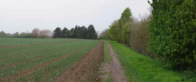
King Edmund's Wood offers a network of well-maintained trails, allowing visitors to explore its natural beauty and immerse themselves in the tranquility of the surroundings. The paths wind through the forest, providing stunning views of the towering trees, vibrant wildflowers, and occasional glimpses of wildlife.

The wood also holds historical significance, as it is believed to have been part of the ancient hunting grounds of King Edmund himself. The area is steeped in folklore and legends, adding an air of mystery and intrigue to the woodland. Visitors can learn about the history of the region through informative signposts placed throughout the wood.

With its natural beauty, rich wildlife, and historical significance, King Edmund's Wood offers a captivating experience for visitors seeking a peaceful retreat and a connection to the area's past.

If you have any feedback on the listing, please let us know in the comments section below.

King Edmund's Wood Images

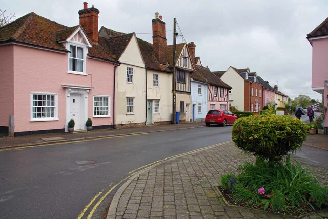
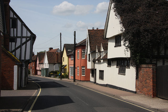
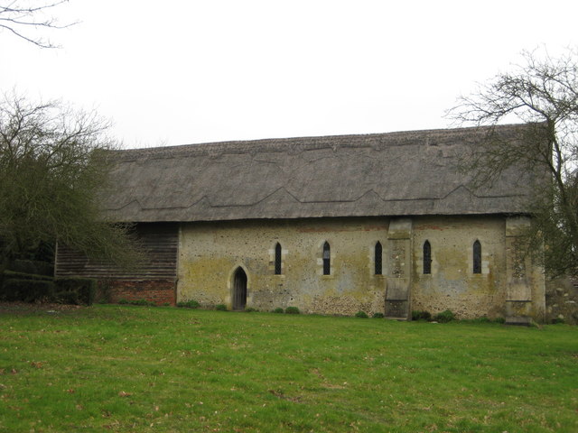
Images are sourced within 2km of 51.974141/0.79029673 or Grid Reference TL9134. Thanks to Geograph Open Source API. All images are credited.

Railway Maltings Single square kiln.
Railway Maltings
Single square kiln.
Railway Maltings -
Railway Maltings
-
Horses at their Hay, Assington  Seen from the road that runs between Tiger Hill and Arger Fen.

There are quite a few stables and livery businesses in the area.
Horses at their Hay, Assington
Seen from the road that runs between Tiger Hill and Arger Fen. There are quite a few stables and livery businesses in the area.
St Stephen's Chapel St Stephen's Chapel, Bures, near the viewpoint for the Bures Dragon.
St Stephen's Chapel
St Stephen's Chapel, Bures, near the viewpoint for the Bures Dragon.
Bridge St Bures Looking from Bures St Mary Suffolk across the bridge to Bures Hamlet Essex.
Bridge St Bures
Looking from Bures St Mary Suffolk across the bridge to Bures Hamlet Essex.
River Stour in Bures Essex to the left Suffolk to the right.
River Stour in Bures
Essex to the left Suffolk to the right.
Pillbox on Bridge St Looking in the direction of the Station.
Pillbox on Bridge St
Looking in the direction of the Station.
Eight Bells and Village Sign Looking across the B1508  Colchester Road.
Eight Bells and Village Sign
Looking across the B1508 Colchester Road.
Bures Hamlet Junction This is the junction of Station Hill (Left), Colchester Road (Aft) and Bridge Street (Right)
Bures Hamlet Junction
This is the junction of Station Hill (Left), Colchester Road (Aft) and Bridge Street (Right)
Bures Hamlet Footpath 7 to Lamarsh This is public right of way 70_7 heading for Lamarsh.
Bures Hamlet Footpath 7 to Lamarsh
This is public right of way 70_7 heading for Lamarsh.
Blossom by Footpath 7 Looking towards Lamarsh on the Stour Valley Path
Blossom by Footpath 7
Looking towards Lamarsh on the Stour Valley Path
Onions by the Stour Valley path Looking towards Lamarsh on footpath 7.
Onions by the Stour Valley path
Looking towards Lamarsh on footpath 7.
Willows by Footpath 7 Looking towards Lamarsh.
Willows by Footpath 7
Looking towards Lamarsh.
Path 7 Panorama The Stour Valley path passes by a field of onions.
Path 7 Panorama
The Stour Valley path passes by a field of onions.
Spinney of Pines by Footpath 7 Heading towards Lamarsh on Footpath 7
Spinney of Pines by Footpath 7
Heading towards Lamarsh on Footpath 7
Bures Railway Station Looking towards Sudbury
Bures Railway Station
Looking towards Sudbury
The Three Horseshoes Local lore has it that in the uncivilised days of compulsory afternoon pub closures. Suffolk hours were ten o'clock until two. At the ding of the last orders bell thirsty punters in the Horseshoes would dash off to the Eight Bells. This of course kept  the Essex opening hours of eleven o'clock until two thirty. See <a href="https://www.geograph.org.uk/photo/7470974">TL9033 : Eight Bells and Village Sign</a>
The Three Horseshoes
Local lore has it that in the uncivilised days of compulsory afternoon pub closures. Suffolk hours were ten o'clock until two. At the ding of the last orders bell thirsty punters in the Horseshoes would dash off to the Eight Bells. This of course kept the Essex opening hours of eleven o'clock until two thirty. See TL9033 : Eight Bells and Village Sign
Nayland Road In Bures St Mary Suffolk
Nayland Road
In Bures St Mary Suffolk
Show me another place!

King Edmund's Wood is located at Grid Ref: TL9134 (Lat: 51.974141, Lng: 0.79029673)

Administrative County: Suffolk

District: Babergh

Police Authority: Suffolk

What 3 Words

///triads.blessing.outgrown. Near Bures St Mary, Suffolk

Related Wikis

Bures, England

Bures is a village in eastern England that straddles the Essex/Suffolk border, made up of two civil parishes: Bures Hamlet in Essex and Bures St. Mary...

Bures St Mary

Bures St Mary is a civil parish in the Babergh district of the English county of Suffolk. In 2005 it had a population of 940, reducing to 918 at the 2011...

Bures Hamlet

Bures Hamlet is a civil parish in the Braintree district of Essex, England. At the 2011 census, it had a population of 749.The parish covers the western...

Bures railway station

Bures railway station is on the Gainsborough Line, a branch off the Great Eastern Main Line to Sudbury, in the East of England, serving the village of...

Nearby Amenities

Located within 500m of 51.974141,0.79029673
Barrier: stile
Lat/Long: 51.976957/0.7943829
Bench
Lat/Long: 51.976297/0.7906496
Tourism: viewpoint
Lat/Long: 51.9750062/0.7908361
Bench
Backrest: yes
Lat/Long: 51.9749941/0.7908026
The Old Bures Dragon
Information: board
Tourism: information
Lat/Long: 51.9749964/0.7907787
Edmund King & Martyr
Historic: memorial
Natural: stone
Lat/Long: 51.9750769/0.7906097
The data included in this document is from www.openstreetmap.org. The data is made available under ODbL.

Have you been to King Edmund's Wood?

Leave your review of King Edmund's Wood below (or comments, questions and feedback).