Horseshoe Plantation
Wood, Forest in Suffolk Babergh
England
Horseshoe Plantation

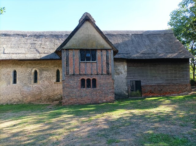
Horseshoe Plantation is a remarkable woodland located in Suffolk, England. Covering an extensive area of land, this plantation is nestled within a picturesque countryside setting, offering visitors a tranquil escape from the bustling city life. The plantation is named after its distinctive shape, resembling a horseshoe when viewed from above.
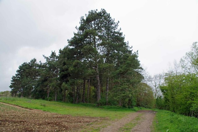
The woodland is primarily composed of a diverse range of tree species, including oak, beech, and birch, creating a unique and enchanting atmosphere. The mature trees provide a dense canopy, allowing only dappled sunlight to filter through, casting beautiful patterns on the forest floor. This creates an ideal habitat for a variety of wildlife, such as deer, rabbits, and numerous bird species.
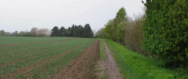
Horseshoe Plantation offers several well-maintained walking trails, allowing visitors to explore the beauty of the woodland at their own pace. These trails vary in length and difficulty, catering to both casual strollers and avid hikers. Along the paths, informative signage provides insights into the flora and fauna found within the plantation, enhancing the educational value of the experience.
For those seeking a more immersive experience, camping facilities are available within designated areas of the woodland. This allows visitors to fully embrace the tranquility of the surroundings, spending nights under the stars and waking up to the soothing sounds of nature.
Overall, Horseshoe Plantation is a captivating woodland retreat, offering a haven for nature enthusiasts and those seeking solace in the beauty of the natural world. Its diverse ecosystem, well-maintained trails, and camping facilities make it a must-visit destination for anyone looking to reconnect with nature in Suffolk.
If you have any feedback on the listing, please let us know in the comments section below.
Horseshoe Plantation Images
Images are sourced within 2km of 51.98015/0.78148057 or Grid Reference TL9134. Thanks to Geograph Open Source API. All images are credited.


Horseshoe Plantation is located at Grid Ref: TL9134 (Lat: 51.98015, Lng: 0.78148057)
Administrative County: Suffolk
District: Babergh
Police Authority: Suffolk
What 3 Words
///drove.pepper.stalemate. Near Bures St Mary, Suffolk
Nearby Locations
Related Wikis
Bures, England
Bures is a village in eastern England that straddles the Essex/Suffolk border, made up of two civil parishes: Bures Hamlet in Essex and Bures St. Mary...
Bures St Mary
Bures St Mary is a civil parish in the Babergh district of the English county of Suffolk. In 2005 it had a population of 940, reducing to 918 at the 2011...

Bures Hamlet
Bures Hamlet is a civil parish in the Braintree district of Essex, England. At the 2011 census, it had a population of 749.The parish covers the western...

Bures railway station
Bures railway station is on the Gainsborough Line, a branch off the Great Eastern Main Line to Sudbury, in the East of England, serving the village of...

Tiger Hill, Suffolk
Tiger Hill is a 21 hectare Local Nature Reserve between Bures St Mary and Leavenheath in Suffolk. It is owned by [a group of landowners and declared under...
Lamarsh
Lamarsh is a village and a civil parish in the Braintree District, in the county of Essex, England. It is near the large village of Bures and the village...

Holy Innocents Church, Lamarsh
Holy Innocents Church is an Anglican church in the village of Lamarsh, in Essex, England. The building has a round tower and dates from the 12th century...
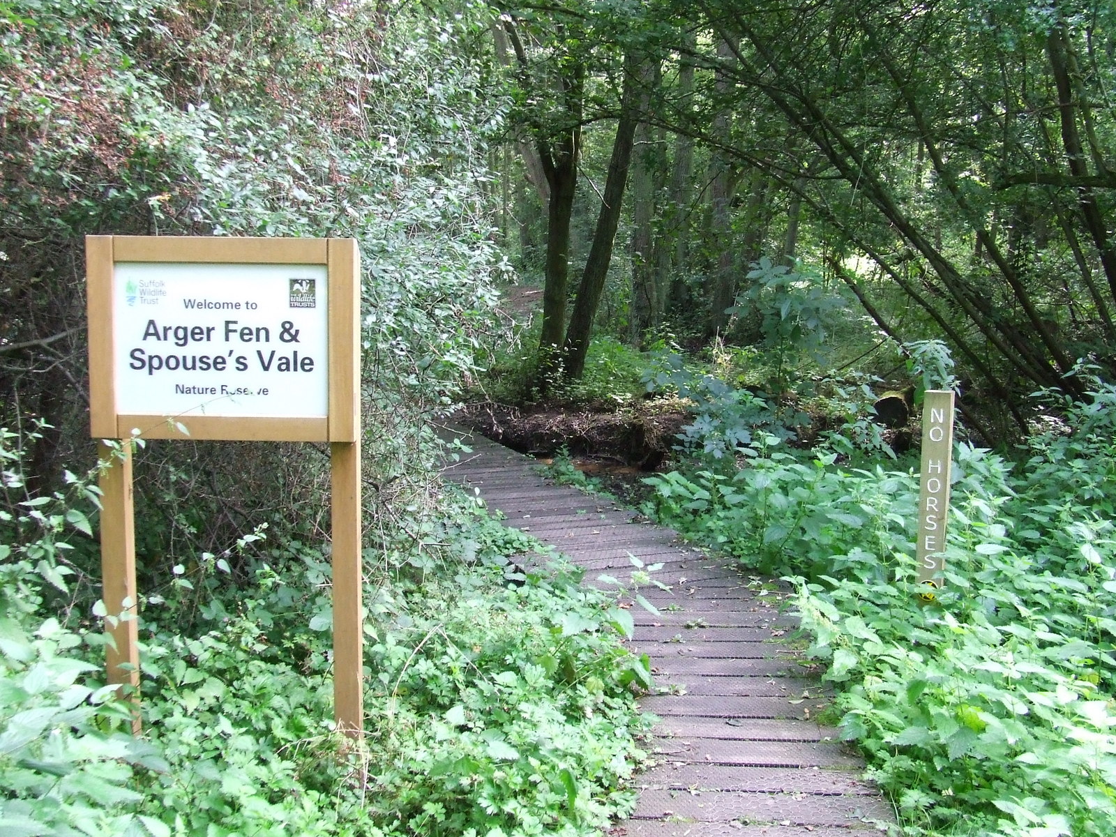
Arger Fen
Arger Fen is a 49.7-hectare (123-acre) biological Site of Special Scientific Interest (SSSI) south-east of Sudbury in Suffolk, England. The site occupies...
Nearby Amenities
Located within 500m of 51.98015,0.78148057Have you been to Horseshoe Plantation?
Leave your review of Horseshoe Plantation below (or comments, questions and feedback).