Barker's Plantation
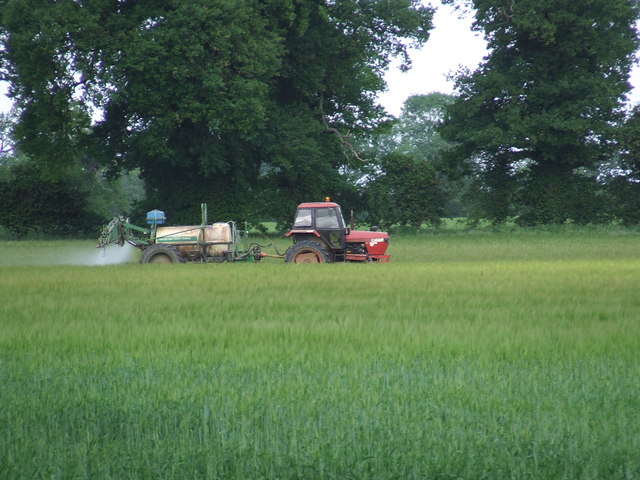
Wood, Forest in Norfolk Breckland
England
Barker's Plantation
Barker's Plantation, located in Norfolk County, Virginia, is a historic site that holds significant cultural and historical importance. Situated in the Wood or Forest area of Norfolk, the plantation was established in the early 18th century and played a prominent role in the region's agricultural development.
Covering a vast expanse of land, Barker's Plantation was primarily dedicated to the cultivation of crops such as tobacco, corn, and wheat. The fertile soil and favorable climate of the area contributed to the plantation's success, making it a prosperous enterprise during its heyday.
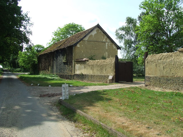
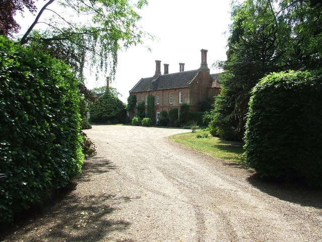
The main plantation house, a grand two-story structure, served as the residence for the Barker family, who owned and managed the property for generations. The architecture of the house reflects the Georgian style, characterized by its symmetrical design and elegant proportions. The interior of the house showcases intricate woodwork, decorative plasterwork, and period furnishings, providing visitors with a glimpse into the opulent lifestyle of the plantation owners.
In addition to the main house, Barker's Plantation featured several outbuildings, including slave quarters, barns, and storage facilities. These structures were essential for the efficient functioning of the plantation, as they housed the enslaved workforce and provided space for the processing and storage of agricultural products.
Today, Barker's Plantation stands as a testament to the historical significance of the plantation system in the United States. It serves as a museum and educational center, offering guided tours that delve into the complex history of plantation life, the hardships endured by enslaved individuals, and the agricultural practices of the era.
If you have any feedback on the listing, please let us know in the comments section below.
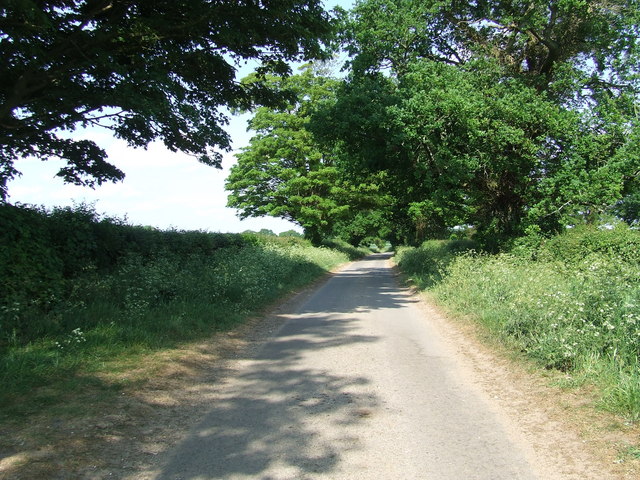
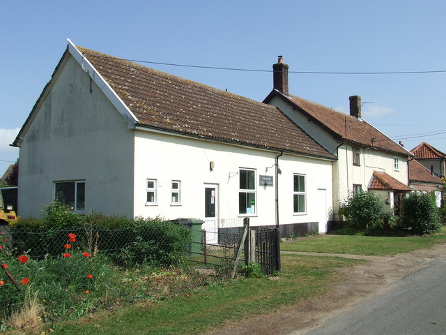
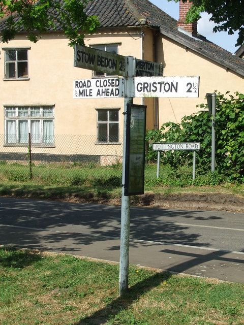
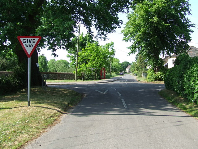
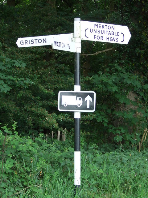
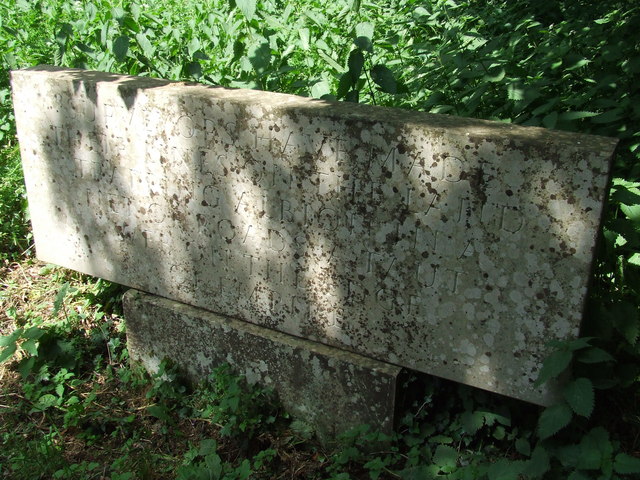
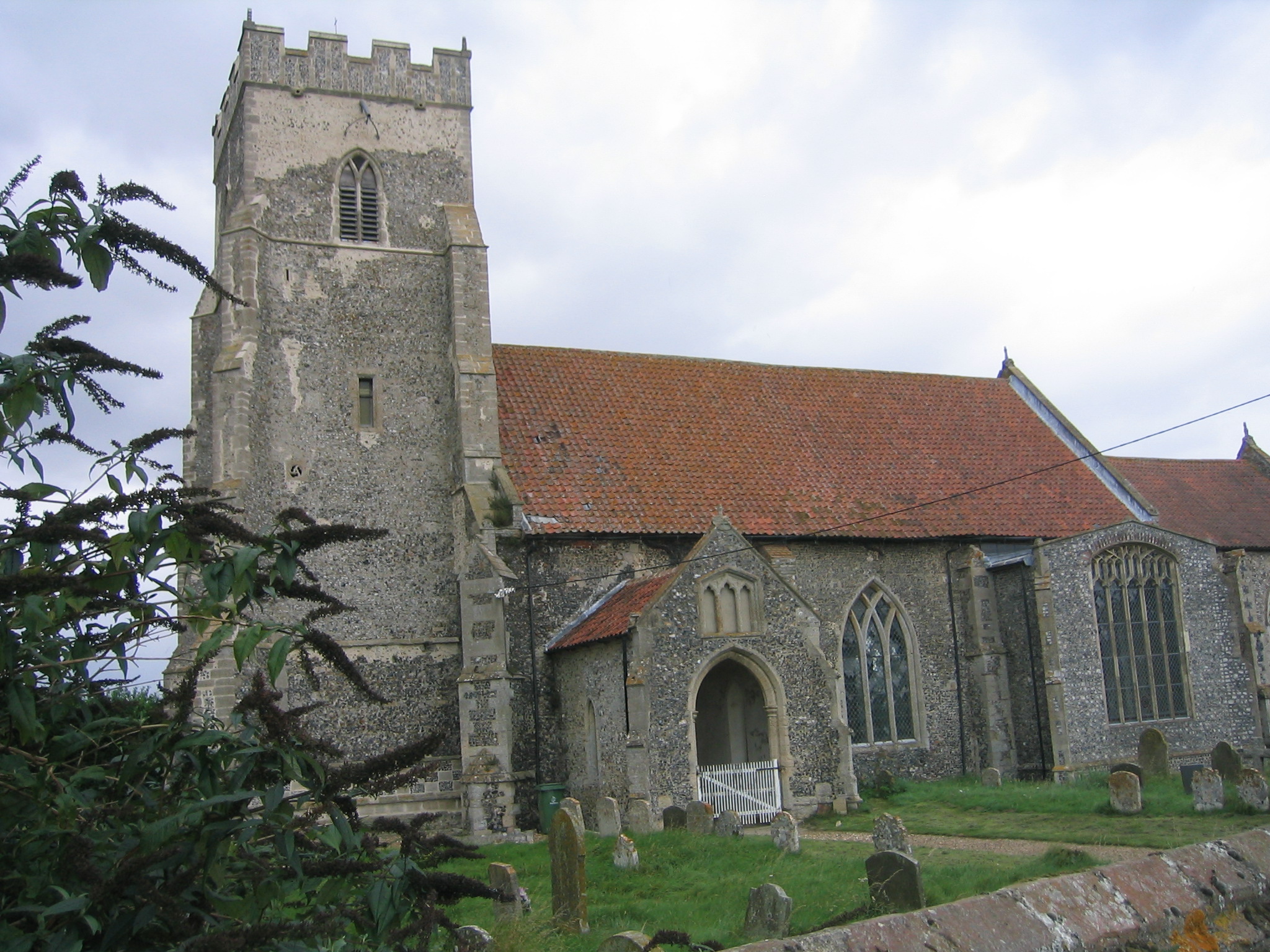
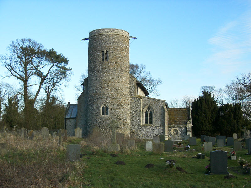
Barker's Plantation Images
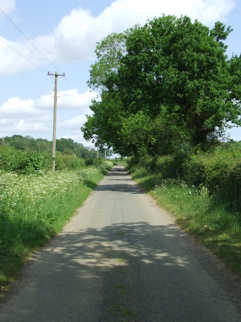
Images are sourced within 2km of 52.537124/0.82531461 or Grid Reference TL9197. Thanks to Geograph Open Source API. All images are credited.


Barker's Plantation is located at Grid Ref: TL9197 (Lat: 52.537124, Lng: 0.82531461)
Administrative County: Norfolk
District: Breckland
Police Authority: Norfolk
What 3 Words
///liberty.sues.mango. Near Watton, Norfolk
Related Wikis
Thompson, Norfolk
Thompson is a civil parish in the English county of Norfolk. It covers an area of 9.20 km2 (3.55 sq mi) and including Tottington had a population of 341...

Merton Hall, Norfolk
Merton Hall is a 19th century country house in Merton, Norfolk, England. The extant north-west wing is a Grade II listed building. The 17th-century gatehouse...
Merton, Norfolk
Merton is a civil parish in the English county of Norfolk. It covers an area of 5.94 km2 (2.29 sq mi) and had a population of 113 in 50 households at the...
Stow Bedon railway station
Stow Bedon railway station is a closed station in Stow Bedon, Norfolk. It was initially opened in 1869 by the Great Eastern Railway network and became...

Tottington, Norfolk
Tottington is a deserted village and civil parish in the English county of Norfolk. It is situated some 6.2 miles (10.0 km) north of the town of Thetford...

Wayland Wood
Wayland Wood is a 31.7-hectare (78-acre) biological Site of Special Scientific Interest near to Watton in Norfolk. It is a Nature Conservation Review...

HM Prison Wayland
HM Prison Wayland is a Category C men's prison, located near the village of Griston in Norfolk, England. The prison is operated by His Majesty's Prison...
Wayland Academy, Watton
Wayland Academy (formerly Wayland Community High School) is a small mixed secondary school located in Watton in the English county of Norfolk. It is part...
Related Videos

A Watton Bank Holiday Safari
Filmed around the back lanes and byways around Watton. All videos and photos were taken from our car parked safely on the ...


Wild Garden Pheasants & House Sparrows #shorts
Filmed in our wild garden in Watton, Norfolk using a Ceyomur Solar Wildlife 4K Trail Camera and three COOAU 2K cameras.

Hedgehog #shorts
Filmed in our garden in Norfolk.
Nearby Amenities
Located within 500m of 52.537124,0.82531461Have you been to Barker's Plantation?
Leave your review of Barker's Plantation below (or comments, questions and feedback).