Earthholes Plantation

Wood, Forest in Norfolk Breckland

England

Earthholes Plantation

Tottington Road Tottington Road looking west near to Thompson, Norfolk.
Tottington Road Credit: Claire Evans

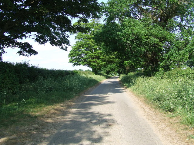
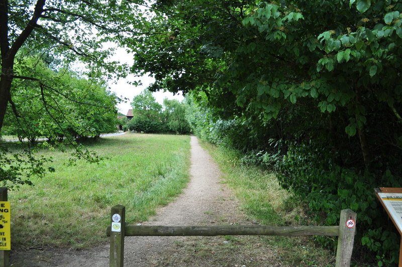
Earthholes Plantation is a sprawling woodland located in Norfolk, England. Spanning over a vast area, it is known for its dense forest cover and rich biodiversity. The plantation is situated in the picturesque countryside, surrounded by rolling hills and meandering streams.

The woodland is primarily composed of deciduous trees, such as oak, beech, and ash, which create a vibrant canopy overhead. These trees provide a habitat for a diverse range of wildlife, including several bird species, small mammals, and insects. Earthholes Plantation is a haven for nature enthusiasts, offering various opportunities for bird-watching, nature walks, and wildlife photography.

The plantation is well-maintained, with designated trails and pathways for visitors to explore the woodlands. These pathways wind through the forest, offering breathtaking views of the surrounding landscape and the chance to immerse oneself in nature. The tranquility and serenity of the plantation make it a perfect destination for those seeking solace and a break from the hustle and bustle of city life.

Earthholes Plantation also serves as an important ecological site, contributing to the conservation of the local flora and fauna. The management of the plantation focuses on sustainable practices, ensuring the preservation of the woodland ecosystem.

Overall, Earthholes Plantation in Norfolk is a captivating destination for nature lovers, offering a chance to experience the beauty of a diverse woodland ecosystem while providing a sustainable environment for wildlife to thrive.

If you have any feedback on the listing, please let us know in the comments section below.

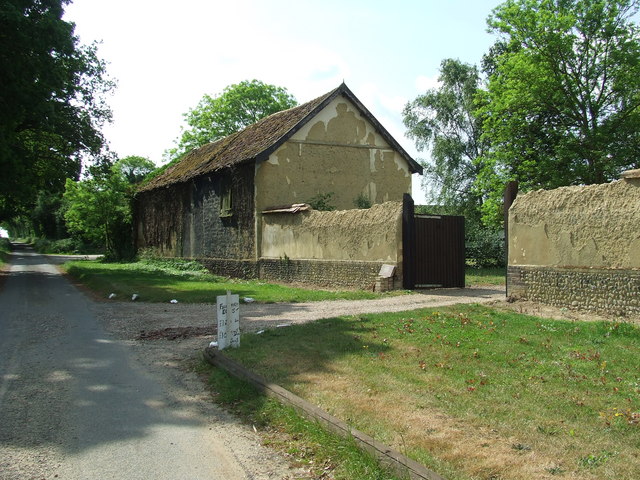
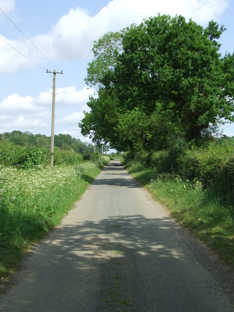
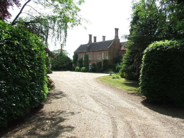
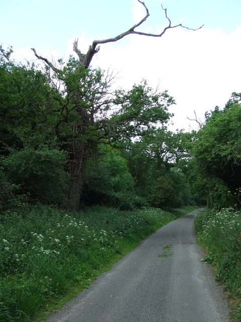
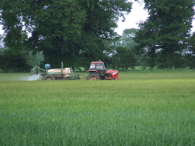
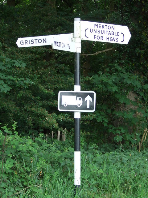
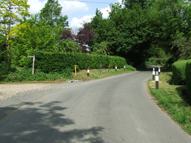
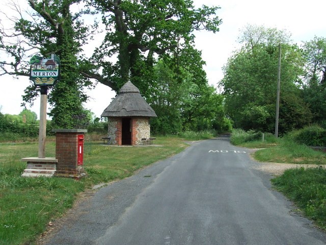
Earthholes Plantation Images

Images are sourced within 2km of 52.538974/0.82239528 or Grid Reference TL9197. Thanks to Geograph Open Source API. All images are credited.

Tottington Road Tottington Road looking west near to Thompson, Norfolk.
Tottington Road
Tottington Road looking west near to Thompson, Norfolk.
Entering Thompson Speed restriction of Thompson, Norfolk.
Entering Thompson
Speed restriction of Thompson, Norfolk.
Village Hall Thompson village hall Thompson, Norfolk.
Village Hall
Thompson village hall Thompson, Norfolk.
Road Sign Finger post at Thompson, Norfolk.
Road Sign
Finger post at Thompson, Norfolk.
Cross Roads Road junction at Thompson, Norfolk.
Cross Roads
Road junction at Thompson, Norfolk.
Griston Road Griston Road looking north east near to Thompson, Norfolk.
Griston Road
Griston Road looking north east near to Thompson, Norfolk.
Footpath Footpath to Thompson church near to Thompson, Norfolk.
Footpath
Footpath to Thompson church near to Thompson, Norfolk.
No More Knotweed Compare this photo of Low Common Farm with Jonathan Billingers of 2007 <a title="https://www.geograph.org.uk/photo/473894" href="https://www.geograph.org.uk/photo/473894">Link</a> and the Knotweed appears to have been eradicated. Near to Thompson, Norfolk.
No More Knotweed
Compare this photo of Low Common Farm with Jonathan Billingers of 2007 Link and the Knotweed appears to have been eradicated. Near to Thompson, Norfolk.
Country Road Country road near to Thompson, Norfolk.
Country Road
Country road near to Thompson, Norfolk.
Silverdell Silverdell house near to Thompson, Norfolk.
Silverdell
Silverdell house near to Thompson, Norfolk.
Road Junction Road junction near to Thompson, Norfolk.
Road Junction
Road junction near to Thompson, Norfolk.
Country Lane Country lane near to Thompson, Norfolk.
Country Lane
Country lane near to Thompson, Norfolk.
Crop Spraying Crop spraying near to Thompson, Norfolk.
Crop Spraying
Crop spraying near to Thompson, Norfolk.
Finger Post Finger post road sign near to Thompson, Norfolk.
Finger Post
Finger post road sign near to Thompson, Norfolk.
Footpath And Road Footpath leading to Merton Church as seen leaving Crows Lane at Merton, Norfolk.
Footpath And Road
Footpath leading to Merton Church as seen leaving Crows Lane at Merton, Norfolk.
Village Sign Village sign on the village green plus shelter and post box at Merton, Norfolk. For close up of the two different sides of the village sign see <a title="https://www.geograph.org.uk/photo/2417140" href="https://www.geograph.org.uk/photo/2417140">Link</a> and <a title="https://www.geograph.org.uk/photo/2417142" href="https://www.geograph.org.uk/photo/2417142">Link</a>
Village Sign
Village sign on the village green plus shelter and post box at Merton, Norfolk. For close up of the two different sides of the village sign see Link and Link
Village Sign One side of the village sign at Merton, Norfolk for other side see <a title="https://www.geograph.org.uk/photo/2417142" href="https://www.geograph.org.uk/photo/2417142">Link</a> and <a title="https://www.geograph.org.uk/photo/2417138" href="https://www.geograph.org.uk/photo/2417138">Link</a>
Village Sign
One side of the village sign at Merton, Norfolk for other side see Link and Link
Village Sign One side of the village sign at Merton, Norfolk for other side see <a title="https://www.geograph.org.uk/photo/2417140" href="https://www.geograph.org.uk/photo/2417140">Link</a> and <a title="https://www.geograph.org.uk/photo/2417138" href="https://www.geograph.org.uk/photo/2417138">Link</a>
Village Sign
One side of the village sign at Merton, Norfolk for other side see Link and Link
Show me another place!

Earthholes Plantation is located at Grid Ref: TL9197 (Lat: 52.538974, Lng: 0.82239528)

Administrative County: Norfolk

District: Breckland

Police Authority: Norfolk

What 3 Words

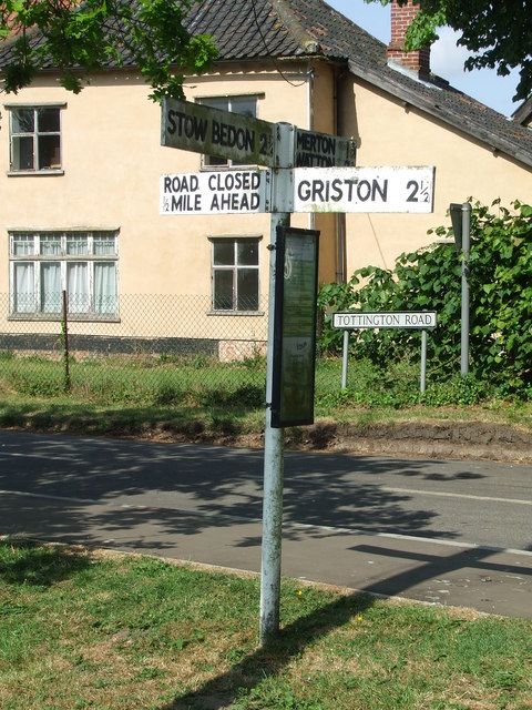
///earlobes.instructs.bags. Near Watton, Norfolk

Related Wikis

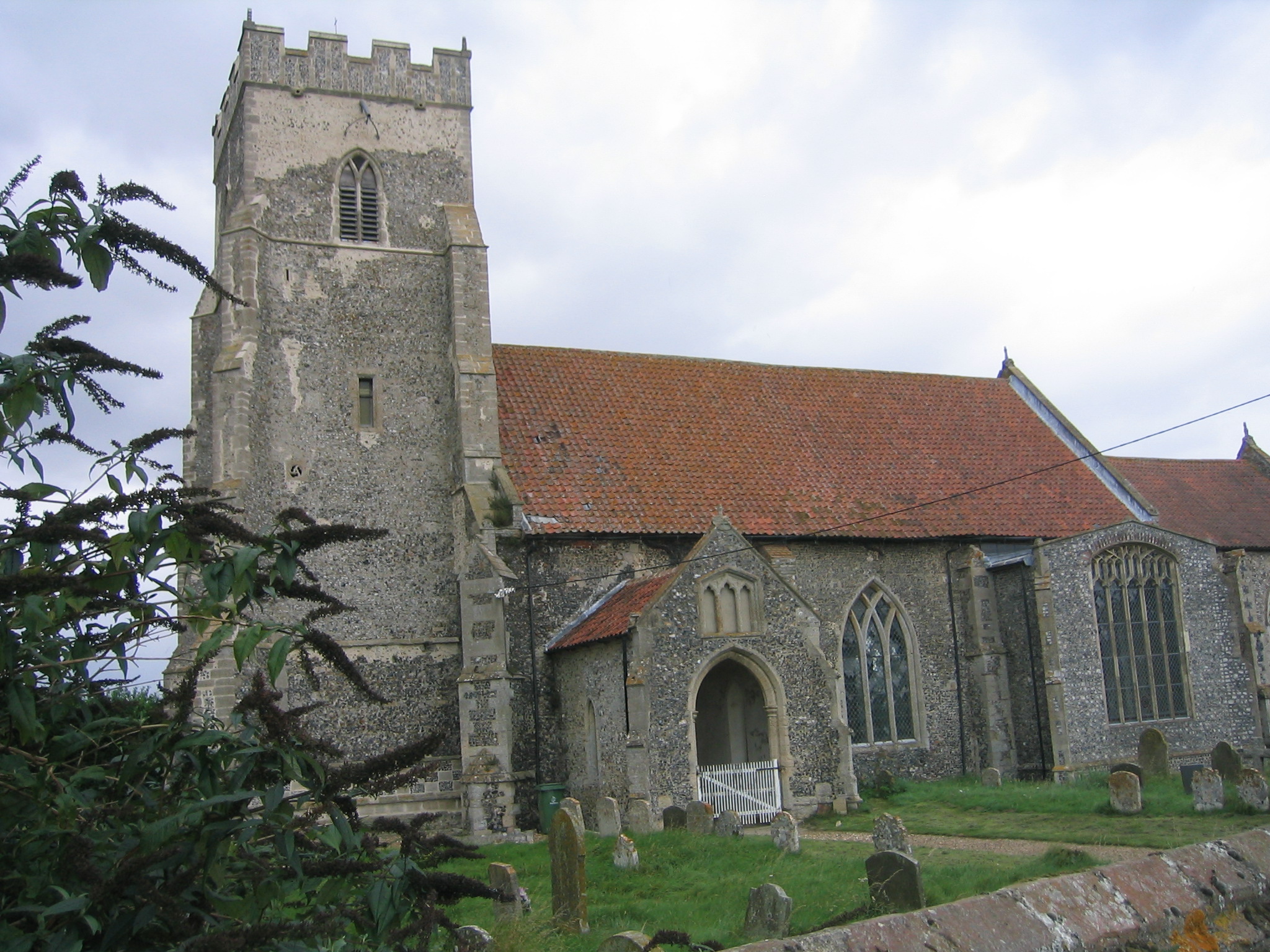
Merton Hall, Norfolk

Merton Hall is a 19th century country house in Merton, Norfolk, England. The extant north-west wing is a Grade II listed building. The 17th-century gatehouse...

Thompson, Norfolk

Thompson is a civil parish in the English county of Norfolk. It covers an area of 9.20 km2 (3.55 sq mi) and including Tottington had a population of 341...
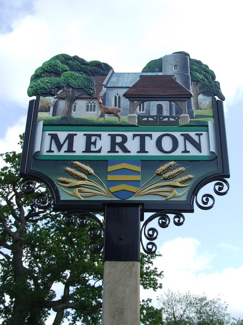
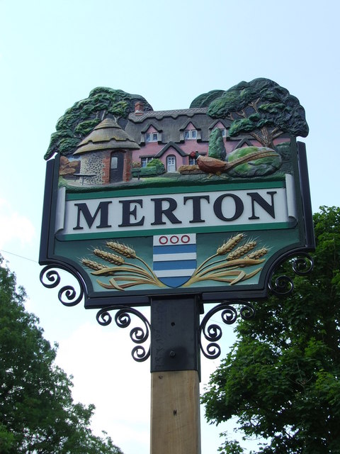
Merton, Norfolk

Merton is a civil parish in the English county of Norfolk. It covers an area of 5.94 km2 (2.29 sq mi) and had a population of 113 in 50 households at the...

Stow Bedon railway station

Stow Bedon railway station is a closed station in Stow Bedon, Norfolk. It was initially opened in 1869 by the Great Eastern Railway network and became...

Tottington, Norfolk

Tottington is a deserted village and civil parish in the English county of Norfolk. It is situated some 6.2 miles (10.0 km) north of the town of Thetford...

Wayland Wood

Wayland Wood is a 31.7-hectare (78-acre) biological Site of Special Scientific Interest near to Watton in Norfolk. It is a Nature Conservation Review...

HM Prison Wayland

HM Prison Wayland is a Category C men's prison, located near the village of Griston in Norfolk, England. The prison is operated by His Majesty's Prison...

Wayland Academy, Watton

Wayland Academy (formerly Wayland Community High School) is a small mixed secondary school located in Watton in the English county of Norfolk. It is part...

Nearby Amenities

Located within 500m of 52.538974,0.82239528
Pipeline: marker
Ref: TL99004
Type: gas
Lat/Long: 52.5354697/0.8260585
Pipeline: marker
Ref: TL99017
Type: gas
Lat/Long: 52.5421709/0.8226135
Historic: memorial
Inscription: Erected in proud memory of the gallant sons of Tottington who fought for their country in the Great War 1914 - 1918. Their name liveth for evermore.
Memorial: war_memorial
Memorial Conflict: WW1
Note: Engraved are the names of 15 men fallen. Also engraved on side panels "In Honour of the Returned" the names of 45 men. Relocated here from St Andrew, Tottington.
Lat/Long: 52.5419926/0.8226372
Pipeline: marker
Ref: TL99027
Type: gas
Lat/Long: 52.5397688/0.8238025
Fixme: incomplete
Lat/Long: 52.5423548/0.8225295
Fixme: incomplete
Lat/Long: 52.535231/0.8261468
Barrier: kissing_gate
Lat/Long: 52.5390293/0.8161466
The data included in this document is from www.openstreetmap.org. The data is made available under ODbL.

Have you been to Earthholes Plantation?

Leave your review of Earthholes Plantation below (or comments, questions and feedback).