Gameclose Covert

Wood, Forest in Suffolk West Suffolk

England

Gameclose Covert

Pakenham Windmill Restored to full working order in the 1950s, but currently unworkable due to problems with the track of the cap, which would require substantial finance to correct. Currently, the patent sails have had all the slats removed to minimise wind stresses. Tower mill with fantail and patent sails, built c.1820. Listed Grade II*.
Pakenham Windmill Credit: Alan Murray-Rust

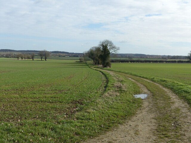
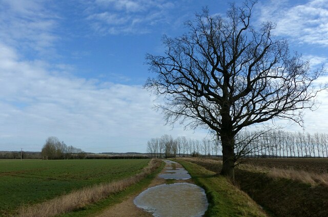
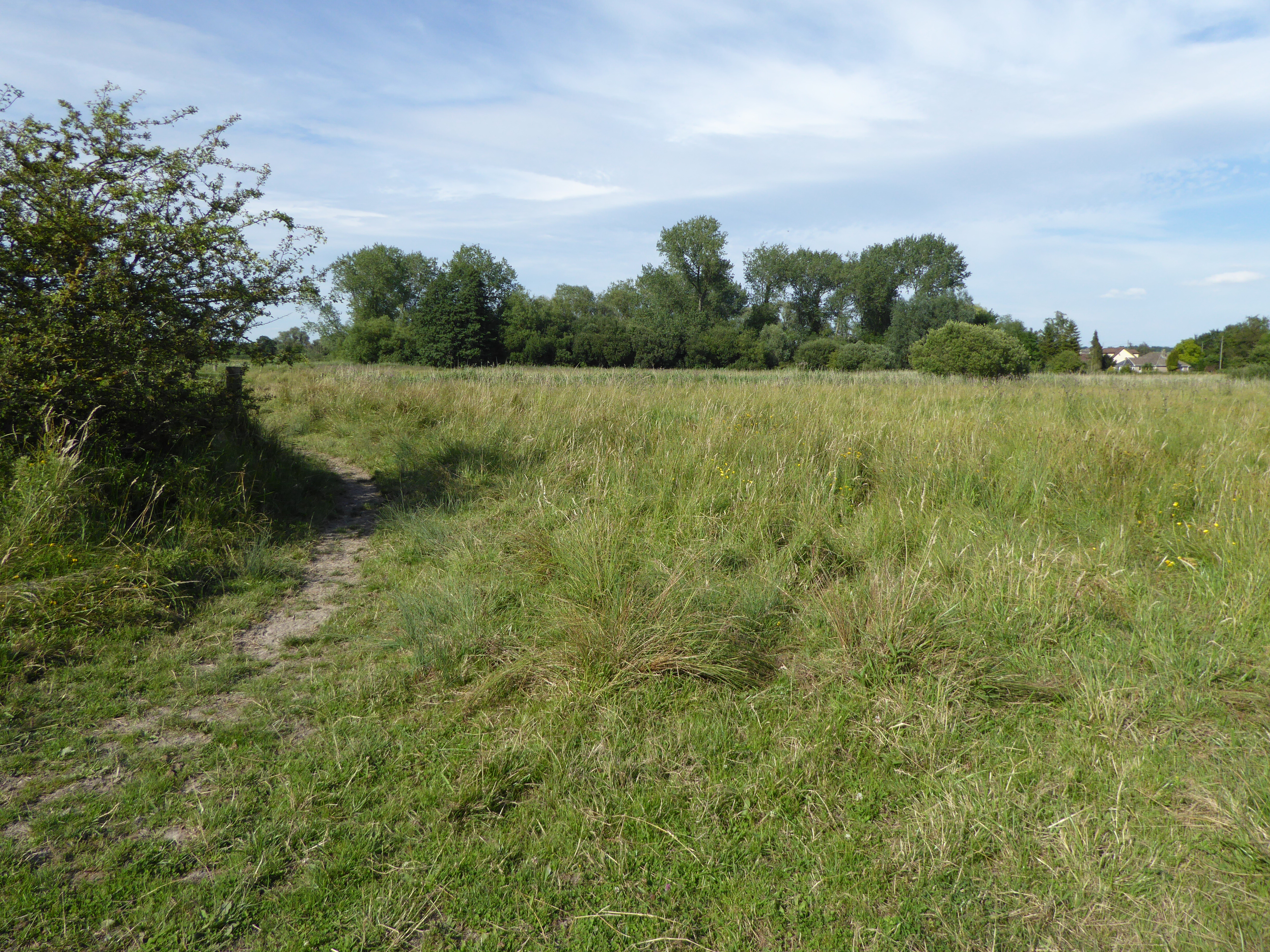
Gameclose Covert is a serene and picturesque woodland located in Suffolk, England. Nestled in the heart of the countryside, this tranquil forest offers a haven for nature enthusiasts and outdoor adventurers alike.

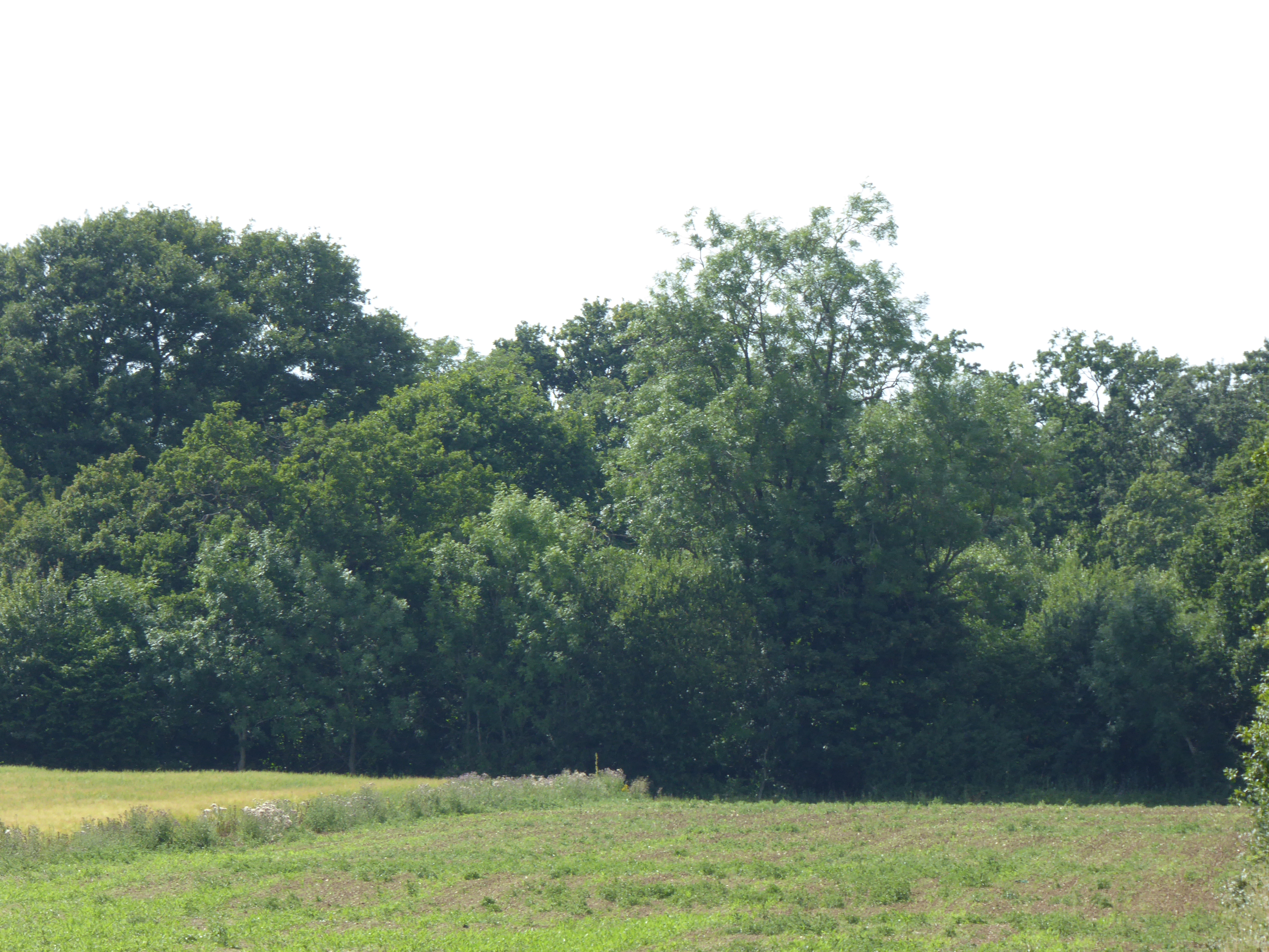
Covering an area of approximately 100 acres, Gameclose Covert is characterized by its diverse range of tree species, including oak, birch, and beech. The dense canopy provides a sheltered environment for a variety of wildlife, making it an ideal spot for birdwatching and wildlife spotting. Visitors can expect to see resident species such as woodpeckers, tawny owls, and red deer, adding to the enchanting atmosphere of the woodland.

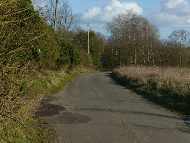
The forest is crisscrossed with well-maintained footpaths and trails, allowing visitors to explore the area at their own pace. These paths lead through a mix of open glades, dense undergrowth, and towering trees, providing a captivating experience for walkers and hikers. Along the way, visitors may stumble upon hidden ponds, adding an element of surprise and discovery to the adventure.

Gameclose Covert is open year-round, offering different charms in each season. In spring, the woodland floor becomes a carpet of bluebells, creating a breathtaking display of color. Summer brings lush green foliage and the songs of birds filling the air. Autumn welcomes a vibrant tapestry of reds, oranges, and yellows as the leaves change, while winter offers a peaceful and tranquil setting, with misty mornings and frost-covered branches.

Whether you are a nature lover seeking solace, an avid photographer capturing the beauty of the forest, or a family looking for an outdoor adventure, Gameclose Covert is a must-visit destination for anyone seeking a slice of natural paradise in Suffolk.

If you have any feedback on the listing, please let us know in the comments section below.

Gameclose Covert Images

Images are sourced within 2km of 52.29519/0.80605603 or Grid Reference TL9170. Thanks to Geograph Open Source API. All images are credited.

Pakenham Windmill Restored to full working order in the 1950s, but currently unworkable due to problems with the track of the cap, which would require substantial finance to correct. Currently, the patent sails have had all the slats removed to minimise wind stresses. Tower mill with fantail and patent sails, built c.1820. Listed Grade II*.
Pakenham Windmill
Restored to full working order in the 1950s, but currently unworkable due to problems with the track of the cap, which would require substantial finance to correct. Currently, the patent sails have had all the slats removed to minimise wind stresses. Tower mill with fantail and patent sails, built c.1820. Listed Grade II*.
Cutter’s Lane, Pakenham In the parish of Pakenham although much closer to the village of Ixworth. It links Thurston Road with the A143.
Cutter’s Lane, Pakenham
In the parish of Pakenham although much closer to the village of Ixworth. It links Thurston Road with the A143.
Mill Farm, Pakenham Looking along Cutter’s Lane from the A143.
Mill Farm, Pakenham
Looking along Cutter’s Lane from the A143.
Heath Lane, Pakenham Looking towards Pakenham Windmill. Field access track and bridleway.
Heath Lane, Pakenham
Looking towards Pakenham Windmill. Field access track and bridleway.
Bridleway sign On Heath Lane, a bridleway leading west from Mill Farm.
Bridleway sign
On Heath Lane, a bridleway leading west from Mill Farm.
Heath Lane, Pakenham Field access and bridleway near Ixworth.
Heath Lane, Pakenham
Field access and bridleway near Ixworth.
Farm track off Heath Lane, Pakenham This also serves as a public footpath. There used to be a farm, mapped as 'Hungry Hall' near where the solitary distant tree stands.
Farm track off Heath Lane, Pakenham
This also serves as a public footpath. There used to be a farm, mapped as 'Hungry Hall' near where the solitary distant tree stands.
Heath Lane, Pakenham Field access and bridleway near Ixworth.
Heath Lane, Pakenham
Field access and bridleway near Ixworth.
Gameclose Covert Covert plantation near Ixworth.
Gameclose Covert
Covert plantation near Ixworth.
Tree, Track, Timber The extension of Heath Lane past Gameclose Covert.
Tree, Track, Timber
The extension of Heath Lane past Gameclose Covert.
Bridleway near Gameclose Covert Looking east.
Bridleway near Gameclose Covert
Looking east.
Pakenham Windmill A long distance view from the bridleway running west from Ixworth Priory.
Pakenham Windmill
A long distance view from the bridleway running west from Ixworth Priory.
Pakenham Windmill Seen from Bury Road at the south end of Ixworth village.
Pakenham Windmill
Seen from Bury Road at the south end of Ixworth village.
Mill Road West, Ixworth Formerly the road to Grimstone End, but now a cul-de-sac following the construction of Ixworth bypass.
Mill Road West, Ixworth
Formerly the road to Grimstone End, but now a cul-de-sac following the construction of Ixworth bypass.
Ixworth bypass, south end This was built in the early 1990s allowing the A143 to avoid the constricted village main street.
Ixworth bypass, south end
This was built in the early 1990s allowing the A143 to avoid the constricted village main street.
Road from Pakenham to Ixworth A Roman route. Ixworth was a major hub for Roman roads in East Anglia.
Road from Pakenham to Ixworth
A Roman route. Ixworth was a major hub for Roman roads in East Anglia.
Road towards Ixworth
Staggered crossroads over A143 Just south of Ixworth.
Staggered crossroads over A143
Just south of Ixworth.
Show me another place!

Gameclose Covert is located at Grid Ref: TL9170 (Lat: 52.29519, Lng: 0.80605603)

Administrative County: Suffolk

District: West Suffolk

Police Authority: Suffolk

What 3 Words

///sweat.icebergs.diggers. Near Ixworth, Suffolk

Nearby Locations

Gameclose Covert

Related Wikis

Ixworth Priory

Ixworth Priory was an Augustine priory at Ixworth in the English county of Suffolk. It was founded in the 12th century and dissolved in 1537. The priory...

Ixworth

Ixworth is a village and civil parish in the West Suffolk district of Suffolk, England, 6 miles (9.7 km) north-east of Bury St Edmunds on the A143 road...

Pakenham Windmill

Pakenham Mill is a Grade II* listed tower mill at Pakenham, Suffolk, England which has been restored and is maintained in working order. == History... ==

Edward Capell

Edward Capell (11 June 1713 – 24 February 1781) was an English Shakespearian critic. == Biography == He was born at Troston Hall (TL901717) in Suffolk...

Mickle Mere

Mickle Mere is a 17 hectare nature reserve south of Ixworth in Suffolk. It is managed by the Suffolk Wildlife Trust.This area of open water and wet meadows...

Pakenham Meadows

Pakenham Meadows is a 5.8-hectare (14-acre) biological Site of Special Scientific Interest north of Pakenham in Suffolk.This unimproved and poorly drained...

Bangrove Wood, Ixworth

Bangrove Wood is an 18.6-hectare (46-acre) biological Site of Special Scientific Interest north of Ixworth in Suffolk, England.This is ancient coppice...

Troston

Troston is a village and civil parish in Suffolk, England, five miles north-east of Bury St Edmunds. Its parish church contains rare mediaeval wall paintings...

Have you been to Gameclose Covert?

Leave your review of Gameclose Covert below (or comments, questions and feedback).