Langmerehill Belt
Wood, Forest in Norfolk Breckland
England
Langmerehill Belt
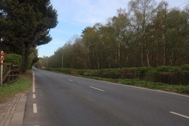
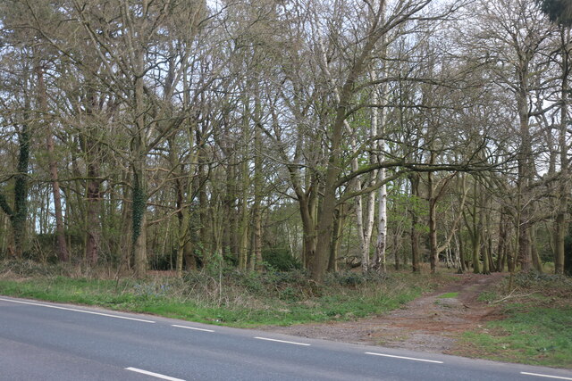
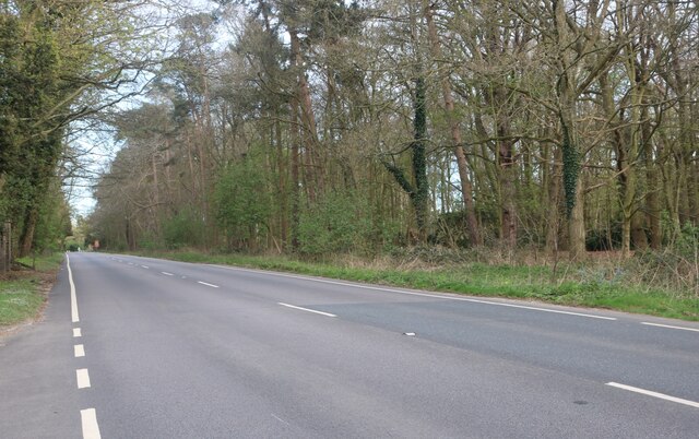
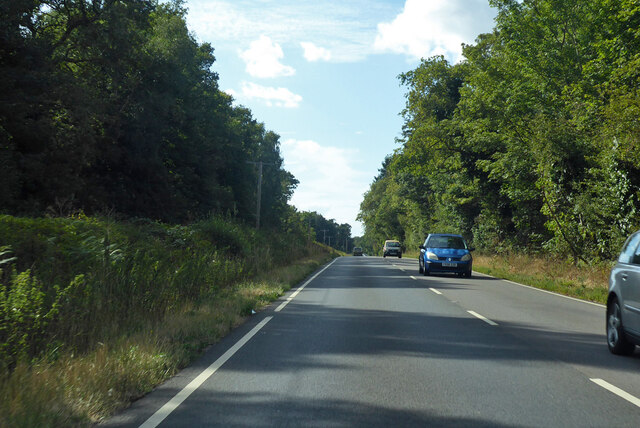
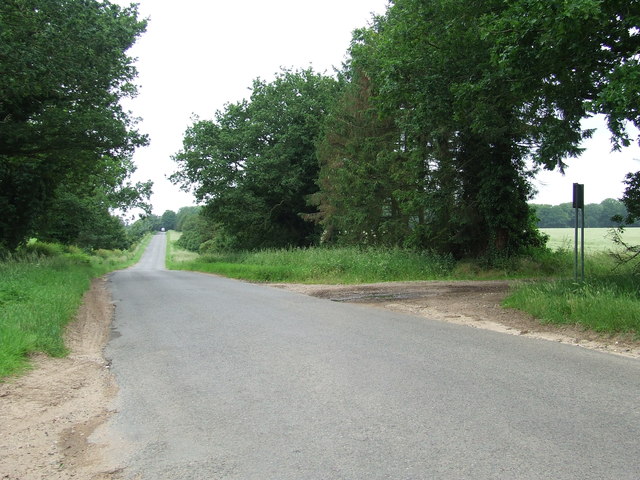
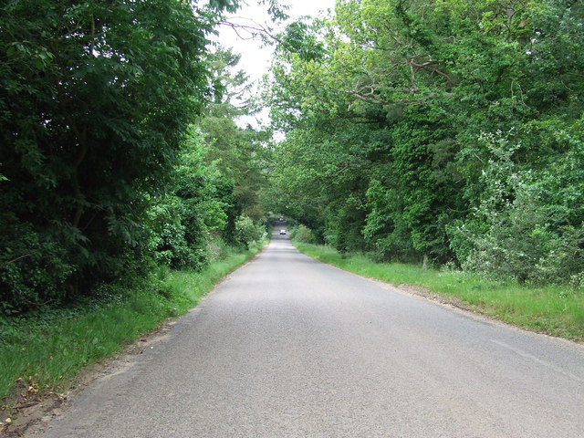
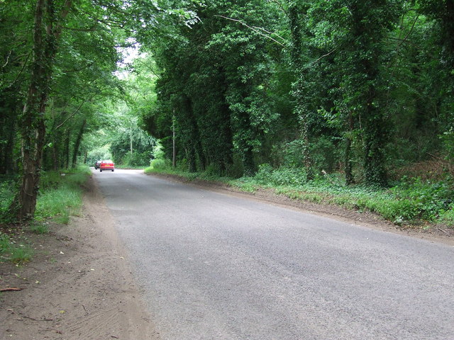
Langmerehill Belt is a picturesque woodland located in Norfolk, England. Spanning over a vast area, this forest is a natural haven for wildlife and a popular destination for nature enthusiasts. The woodland is characterized by its dense canopy of broadleaf trees, including oak, beech, and birch, creating a serene and tranquil atmosphere.
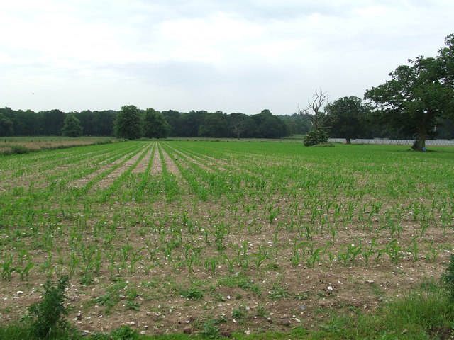
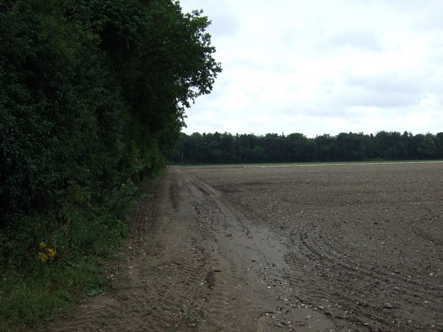
Situated on gently rolling hills, Langmerehill Belt offers stunning views and a diverse range of habitats. The forest is intersected by meandering streams and dotted with small ponds, providing a water source for various species of flora and fauna. The undergrowth is a rich tapestry of ferns, wildflowers, and moss, creating a vibrant and colorful landscape.
The forest is home to a wide variety of wildlife, making it a haven for nature lovers and wildlife photographers. Visitors can expect to see an array of bird species, including woodpeckers, owls, and various songbirds. Mammals such as deer, rabbits, and squirrels can also be spotted in the woodland, along with numerous species of insects and butterflies.
Langmerehill Belt offers a network of well-maintained walking trails, allowing visitors to explore the forest and appreciate its beauty up close. The forest is also a popular spot for picnicking, with several designated areas providing a peaceful setting for outdoor dining.
Overall, Langmerehill Belt is a stunning woodland that offers a diverse range of habitats and an abundance of wildlife. Whether it's for a leisurely stroll, birdwatching, or simply enjoying the tranquility of nature, this forest provides a captivating experience for all who visit.
If you have any feedback on the listing, please let us know in the comments section below.
Langmerehill Belt Images
Images are sourced within 2km of 52.413068/0.81138942 or Grid Reference TL9183. Thanks to Geograph Open Source API. All images are credited.


Langmerehill Belt is located at Grid Ref: TL9183 (Lat: 52.413068, Lng: 0.81138942)
Administrative County: Norfolk
District: Breckland
Police Authority: Norfolk
What 3 Words
///newly.political.late. Near Thetford, Norfolk
Nearby Locations
Related Wikis

Shadwell Court
Shadwell Court, Brettenham, Norfolk, England is a country house dating originally from the 18th century. Built for the Buxton baronets, the house was massively...

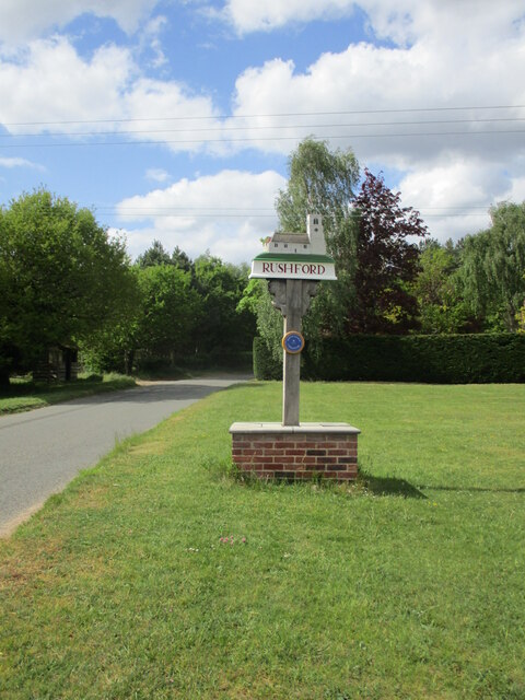
Rushford, Norfolk
Rushford is a small village in the civil parish of Brettenham, in the Breckland district, in the county of Norfolk, England. It is situated on the north...

Brettenham, Norfolk
Brettenham is a village and civil parish in the English county of Norfolk. It covers an area of 26.37 km2 (10.18 sq mi) and had a population of 475 in...

Kilverstone Hall
Kilverstone Hall is a Grade II listed building in Kilverstone in Norfolk, England. == History == Kilverstone Hall is a country house built in the early...

Kilverstone
Kilverstone is a civil parish in the English county of Norfolk east of Thetford. It covers an area of 7.46 km2 (2.88 sq mi) and had a population of 60...

Thetford Bridge railway station
Thetford Bridge railway station served the eastern part of Thetford, Norfolk, England between 1875 and 1953. == History == The railway line between Bury...

Bridgham
Bridgham is a village and civil parish in the English county of Norfolk. It covers an area of 11.06 km2 (4.27 sq mi) and had a population of 328 in 130...

Bridgham and Brettenham Heaths
Bridgham and Brettenham Heaths is a 439.9-hectare (1,087-acre) biological Site of Special Scientific Interest north-east of Thetford in Norfolk, England...
Nearby Amenities
Located within 500m of 52.413068,0.81138942Have you been to Langmerehill Belt?
Leave your review of Langmerehill Belt below (or comments, questions and feedback).