Coalpit Wood

Wood, Forest in Kent Maidstone

England

Coalpit Wood

Down Court Road This is the lane from Doddington to Bluetown and Milstead.
Down Court Road Credit: Marathon

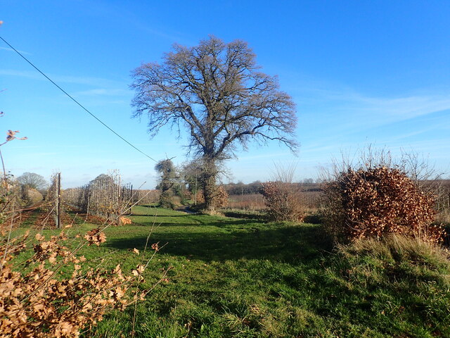
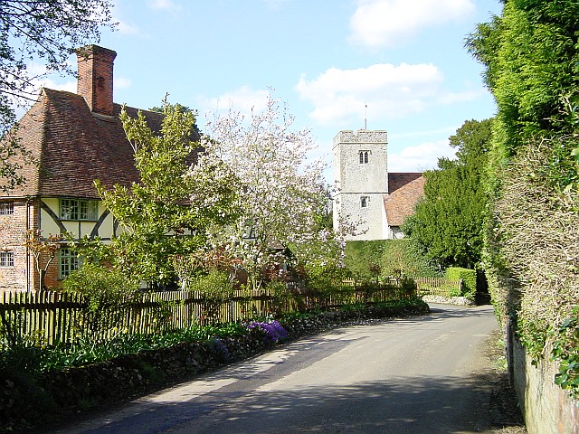
Coalpit Wood is a captivating woodland located in the county of Kent, England. Covering an area of approximately 50 acres, it is nestled in the picturesque landscape of the Kent Downs, a designated Area of Outstanding Natural Beauty. The wood is situated near the village of Westwell, just a few miles southwest of the historic town of Ashford.

As its name suggests, Coalpit Wood has a rich history linked to the coal mining industry. In the 19th century, the wood was extensively used for charcoal production and as a source of fuel for local industries. Today, remnants of the coal pits and old mining infrastructure can still be seen, providing a glimpse into the area's industrial past.

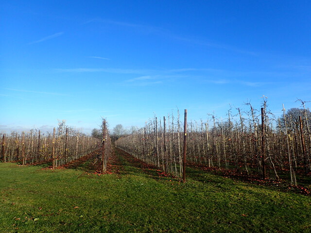
The wood itself is a haven for nature enthusiasts and outdoor adventurers. It boasts a diverse range of tree species, including oak, beech, and chestnut, which create a dense canopy that filters sunlight and creates a tranquil atmosphere. The forest floor is adorned with a tapestry of wildflowers, ferns, and mosses, providing a vibrant burst of color throughout the seasons.

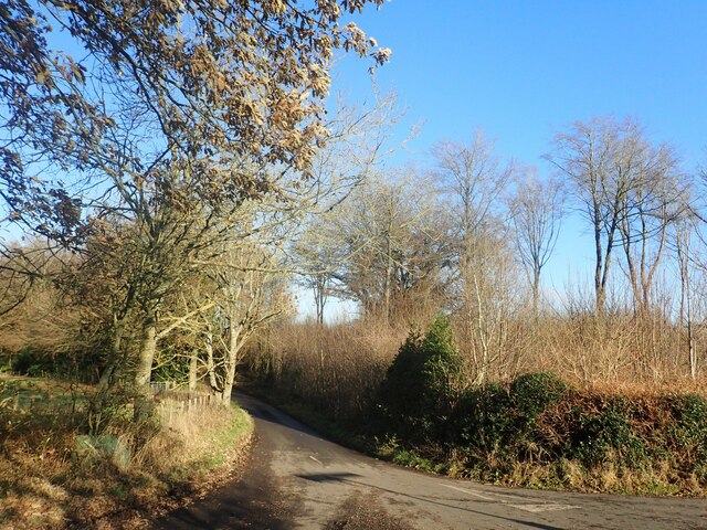
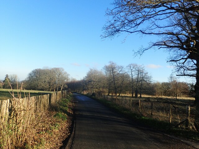
Coalpit Wood is a popular destination for walking, hiking, and wildlife spotting. Numerous well-marked trails meander through the wood, offering visitors the opportunity to explore its beauty at their own pace. The wood is home to a variety of fauna, including deer, foxes, and a myriad of bird species, making it a wildlife enthusiast's paradise.

With its rich history, stunning natural scenery, and abundant wildlife, Coalpit Wood is a cherished gem of Kent, inviting visitors to immerse themselves in its beauty and experience the tranquility of the English countryside.

If you have any feedback on the listing, please let us know in the comments section below.
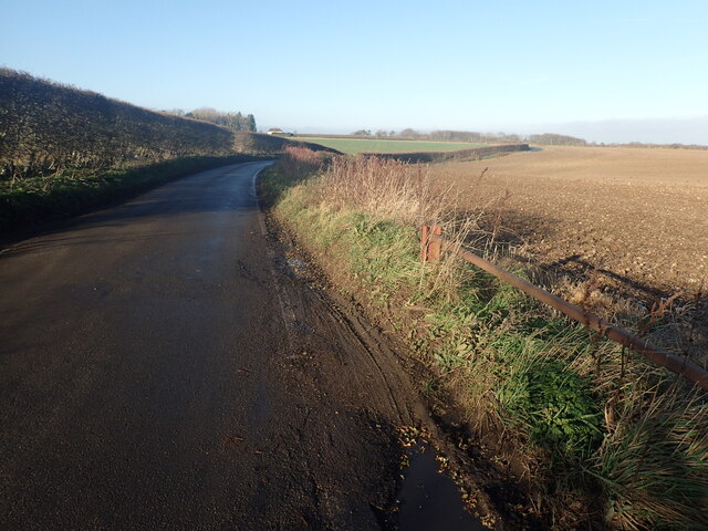
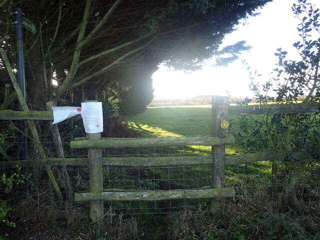
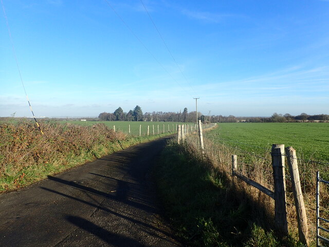
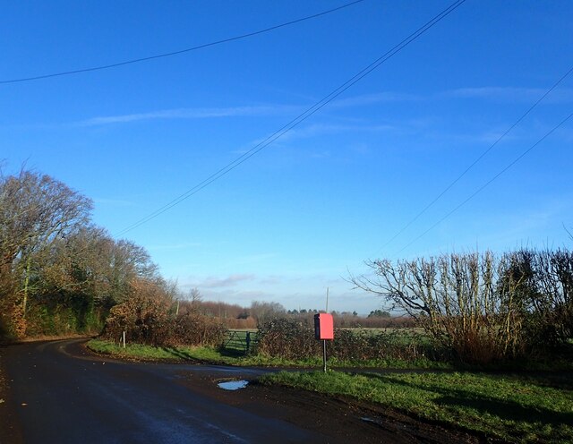
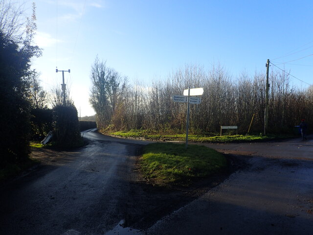
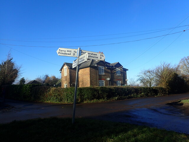
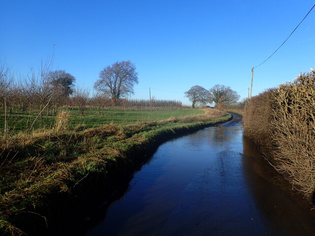
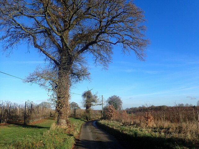
Coalpit Wood Images

Images are sourced within 2km of 51.276216/0.74138725 or Grid Reference TQ9156. Thanks to Geograph Open Source API. All images are credited.

Down Court Road This is the lane from Doddington to Bluetown and Milstead.
Down Court Road
This is the lane from Doddington to Bluetown and Milstead.
Diverted footpath This view from Down Court Road shows a footpath which has now been closed.
Diverted footpath
This view from Down Court Road shows a footpath which has now been closed.
Lane to Kingsdown Church The steeple in the distance belongs to the redundant St Catherine's Church, Kingsdown which  is now in the care of The Churches Conservation Trust. See <a title="www.geograph.org.uk/photo/1240182" href="https://www.geograph.org.uk/photo/1240182">Link</a>  and <a title="www.geograph.org.uk/photo/3333815" href="https://www.geograph.org.uk/photo/3333815">Link</a>  This view is from the junction with Down Court Road.
Lane to Kingsdown Church
The steeple in the distance belongs to the redundant St Catherine's Church, Kingsdown which is now in the care of The Churches Conservation Trust. See Link and Link This view is from the junction with Down Court Road.
View from Down Court Road This is close to the junction with the lane leading to Kingsdown Church. Great Higham is in the distance.
View from Down Court Road
This is close to the junction with the lane leading to Kingsdown Church. Great Higham is in the distance.
Crossroads at Bluetown Sawpit Road is straight ahead while Down Court Road is on the right.
Crossroads at Bluetown
Sawpit Road is straight ahead while Down Court Road is on the right.
Crossroads at Bluetown Mintching Wood Lane is to the right while the continuation of Sawpit Road is to the left.
Crossroads at Bluetown
Mintching Wood Lane is to the right while the continuation of Sawpit Road is to the left.
House at Bluetown Mintching Wood Lane is to the left of the house while Sawpit Road is to the right. The photograph is taken from Down Court Road.
House at Bluetown
Mintching Wood Lane is to the left of the house while Sawpit Road is to the right. The photograph is taken from Down Court Road.
Flooded road on Mintching Wood Lane Street View shows that it is common to have water here, even in late summer - <span class="nowrap"><a title="www.google.co.uk/maps/@51.2922289,0.7393942,3a,75y,356.57h,80.12t/data=!3m6!1e1!3m4!1sCAqZ_ztriv3A21Dsp1d4VQ!2e0!7i16384!8i8192?entry=ttu" rel="nofollow ugc noopener" href="http://www.google.co.uk/maps/@51.2922289,0.7393942,3a,75y,356.57h,80.12t/data=!3m6!1e1!3m4!1sCAqZ_ztriv3A21Dsp1d4VQ!2e0!7i16384!8i8192?entry=ttu">Link</a><img style="margin-left:2px;" alt="External link" title="External link - shift click to open in new window" src="https://s1.geograph.org.uk/img/external.png" width="10" height="10"/></span>

This was particularly bad and necessitated walking along the bank to the left of the road.
Flooded road on Mintching Wood Lane
Street View shows that it is common to have water here, even in late summer - LinkExternal link This was particularly bad and necessitated walking along the bank to the left of the road.
View from Manor Road This short lane links Manor Road with Mintching Wood Lane.
View from Manor Road
This short lane links Manor Road with Mintching Wood Lane.
View from Manor Road This tree is standing alongside the short lane which links Manor Road with Mintching Wood Lane - see <a title="www.geograph.org.uk/photo/7672493" href="https://www.geograph.org.uk/photo/7672493">Link</a>
View from Manor Road
This tree is standing alongside the short lane which links Manor Road with Mintching Wood Lane - see Link
Out of season apple trees This is seen from Manor Road. As can be seen, there are still a great many windfalls.
Out of season apple trees
This is seen from Manor Road. As can be seen, there are still a great many windfalls.
Torry Hill This view looks from the junction with Frinsted Road.
Torry Hill
This view looks from the junction with Frinsted Road.
Frinsted Road This view is from the junction with Torry Hill.
Frinsted Road
This view is from the junction with Torry Hill.
Torry Hill Torry Hill Park is on the left. This is on the way to Doddington.
Torry Hill
Torry Hill Park is on the left. This is on the way to Doddington.
View from Torry Hill This is looking north from the junction with Coalpit Lane.
View from Torry Hill
This is looking north from the junction with Coalpit Lane.
Torry Hill This is just past the junction with Coalpit Lane on the way to Doddington.
Torry Hill
This is just past the junction with Coalpit Lane on the way to Doddington.
Ashdown Lane A very narrow lane. There is lots of flint stones in the road washed from the fields.
Ashdown Lane
A very narrow lane. There is lots of flint stones in the road washed from the fields.
Byway near Syndale Bottom The short byway leads to Coalpit Lane, from here at junction with Ashdown Lane.
Byway near Syndale Bottom
The short byway leads to Coalpit Lane, from here at junction with Ashdown Lane.
Show me another place!

Coalpit Wood is located at Grid Ref: TQ9156 (Lat: 51.276216, Lng: 0.74138725)

Administrative County: Kent

District: Maidstone

Police Authority: Kent

What 3 Words

///length.sued.florists. Near Lenham, Kent

Nearby Locations

Coalpit Wood Endings Wood

Related Wikis

Torry Hill Railway

The Torry Hill Railway is a private miniature railway with the unusual gauge of 9 inches (229 mm) at Torry Hill near Frinsted in the Borough of Maidstone...

Wichling

Wichling (otherwise Wychling) is a village and civil parish within the local government district of Maidstone, in England. The parish lies approximately...

Doddington, Kent

Doddington is a village and civil parish in the district of Swale in Kent, England. The Syndale Valley shelters the central part in the Kent Downs Area...

Milstead

Milstead is a village and civil parish in the borough of Swale in Kent, England. It is surrounded by the villages of Frinsted, Wichling, Doddington and...

Dungate

Dungate is a village near the M2 motorway, in the Swale district, in the English county of Kent. It is near the town of Sittingbourne. == References... ==

Frinsted

Frinsted or Frinstead is a small village and civil parish in the ecclesiastical parish of Wormshill and in the Maidstone District of Kent, England. and...

Kingsdown, Swale

Kingsdown is a small village and former civil parish, now in the parish of Lynsted with Kingsdown, in the Swale district, in the county of Kent, England...

Pines Garden

Pines Garden is a house and large garden, located on the winding beach road from St Margaret's at Cliffe village down to the beach at St Margeret's Bay...

Nearby Amenities

Located within 500m of 51.276216,0.74138725
Power: tower
Lat/Long: 51.2741834/0.7359184
Power: tower
Lat/Long: 51.2741502/0.7390619
Power: tower
Lat/Long: 51.2741314/0.7465249
Power: tower
Lat/Long: 51.2741428/0.7429951
The data included in this document is from www.openstreetmap.org. The data is made available under ODbL.

Have you been to Coalpit Wood?

Leave your review of Coalpit Wood below (or comments, questions and feedback).