Big Clump
Wood, Forest in Suffolk West Suffolk
England
Big Clump

Big Clump is a small village located in the county of Suffolk, England. Situated in the heart of a dense forest, it is known for its picturesque surroundings and tranquil atmosphere. The village is nestled amidst towering trees, creating a true sense of being in the midst of nature.
The forest surrounding Big Clump is a haven for various wildlife species, making it a popular destination for nature enthusiasts and birdwatchers. The area is abundant in diverse flora and fauna, with ancient oaks and beech trees dominating the landscape.
The village itself is quaint and charming, with a small population of close-knit residents. The houses are typically traditional, reflecting the rural character of the area. The residents take pride in maintaining the village's rustic charm, with well-kept gardens and flower-filled window boxes adorning the streets.
Despite its small size, Big Clump offers a range of amenities to its residents. There is a local pub, The Clump Inn, which serves as a social hub for the community. The village also boasts a village hall, where various community events and gatherings take place throughout the year.
For those seeking outdoor activities, Big Clump offers numerous walking and cycling trails that meander through the forest. These trails provide breathtaking views of the surrounding countryside and allow visitors to immerse themselves in the beauty of nature.
In summary, Big Clump, Suffolk is a tranquil village nestled in a dense forest. With its picturesque surroundings, diverse wildlife, and welcoming community, it offers a serene escape for those seeking a peaceful retreat in the heart of nature.
If you have any feedback on the listing, please let us know in the comments section below.
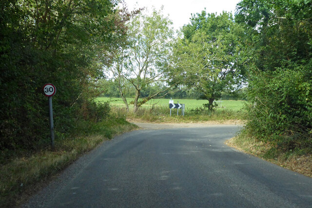
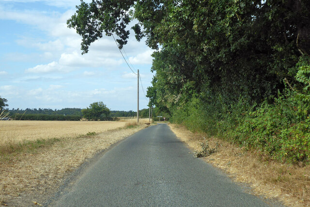
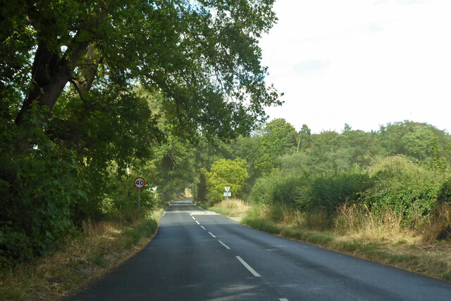
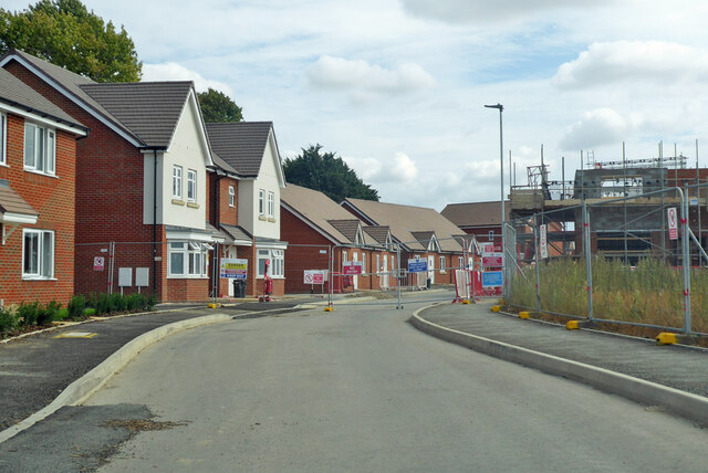
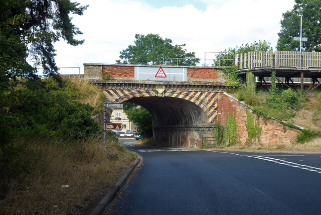
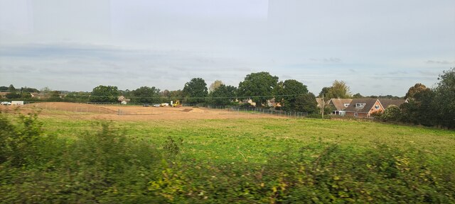
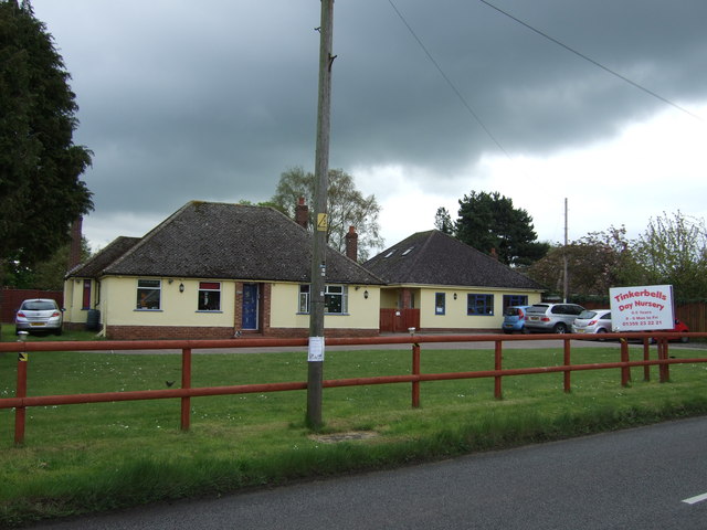
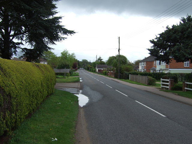
Big Clump Images
Images are sourced within 2km of 52.240724/0.79338809 or Grid Reference TL9063. Thanks to Geograph Open Source API. All images are credited.


Big Clump is located at Grid Ref: TL9063 (Lat: 52.240724, Lng: 0.79338809)
Administrative County: Suffolk
District: West Suffolk
Police Authority: Suffolk
What 3 Words
///simmer.shiver.kiosk. Near Thurston, Suffolk
Nearby Locations
Related Wikis
Rushbrooke with Rougham
Rushbrooke with Rougham is a large civil parish in the West Suffolk district of Suffolk in eastern England covering the villages of Blackthorpe, Rougham...

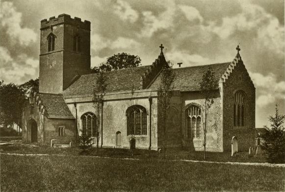
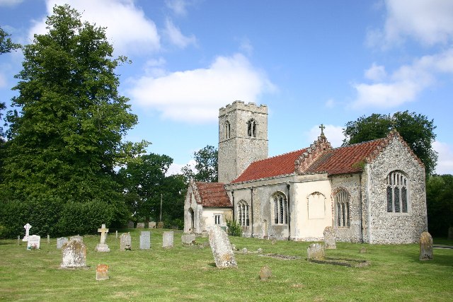
Rougham, Suffolk
Rougham is a village and former civil parish 19 miles (31 km) north west of Ipswich, now in the parish of Rushbrooke with Rougham, in the West Suffolk...
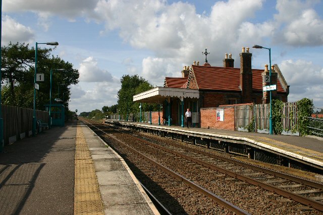
Thurston railway station
Thurston railway station serves the village of Thurston in Suffolk, England. The station, and all trains serving it, are operated by Greater Anglia. It...

Thurston Community College
Thurston Community College is a co-educational secondary school and sixth form located in Thurston, Suffolk, England. As of 2018, it has 1,733 students...
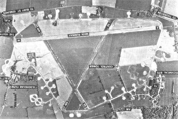
Rougham Airfield
Rougham Airfield, formerly Royal Air Force Bury St Edmunds or more simply RAF Bury St Edmunds is a former Royal Air Force station located 3 miles (4.8...

Thurston, Suffolk
Thurston is a village and a parish in Suffolk situated about 4 miles (6 km) east of Bury St Edmunds and 10 miles (16 km) west of Stowmarket. In mid-2005...

Beyton
Beyton is a village and civil parish in the Mid Suffolk district of the English county of Suffolk. The village is around 8 miles (13 km) east of Bury St...
Rushbrooke, West Suffolk
Rushbrooke is a village and former civil parish on the River Lark, 20 miles (32 km) north west of Ipswich, now in the parish of Rushbrooke with Rougham...
Nearby Amenities
Located within 500m of 52.240724,0.79338809Have you been to Big Clump?
Leave your review of Big Clump below (or comments, questions and feedback).