Sculthorpe Moor
Wood, Forest in Norfolk North Norfolk
England
Sculthorpe Moor
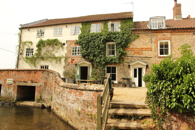
Sculthorpe Moor, located in Norfolk, England, is a tranquil and picturesque nature reserve renowned for its rich woodland and forest landscapes. Spanning over 200 acres, this area is a haven for wildlife and offers a delightful retreat for nature enthusiasts and birdwatchers alike.
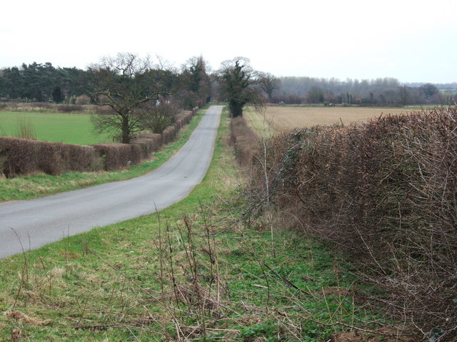
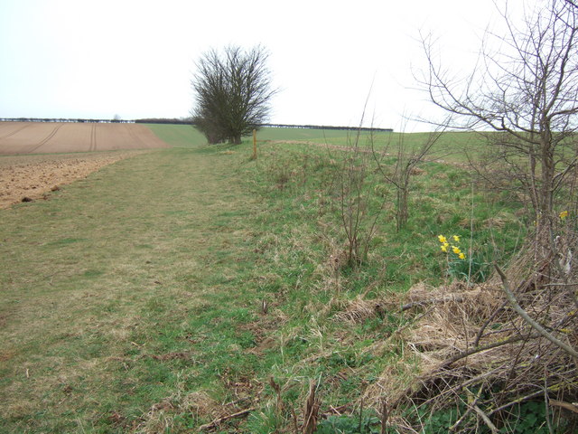
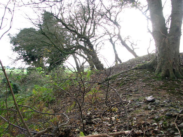
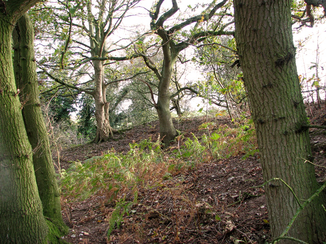
The reserve is characterized by its diverse habitats, which include ancient woodland, wet meadows, reed beds, and open water. These habitats attract a wide variety of bird species, making Sculthorpe Moor a popular spot for birdwatching. Visitors can observe an array of birds, including marsh harriers, kingfishers, barn owls, and reed warblers, among many others. Throughout the year, the reserve hosts guided walks and bird-watching events, providing visitors with the opportunity to learn more about the local birdlife and the conservation efforts in place.
Aside from its avian inhabitants, Sculthorpe Moor is also home to numerous other wildlife species. Visitors may encounter water voles, butterflies, dragonflies, and various mammals, such as deer and foxes, as they explore the reserve's well-maintained trails and pathways.
Moreover, Sculthorpe Moor boasts excellent visitor facilities, including a visitor center with informative displays, a gift shop, and a café offering refreshments. The reserve also offers educational programs and activities for schools and other groups, aiming to inspire young minds and foster an appreciation for the natural world.
In summary, Sculthorpe Moor in Norfolk is a breathtaking nature reserve that showcases the beauty of woodlands and forests. With its diverse habitats, abundance of wildlife, and excellent visitor facilities, this idyllic location provides a truly immersive and educational experience for nature lovers of all ages.
If you have any feedback on the listing, please let us know in the comments section below.
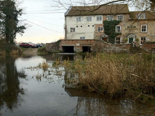
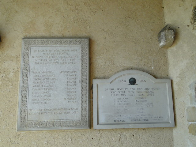
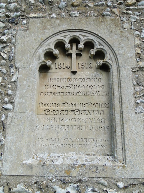
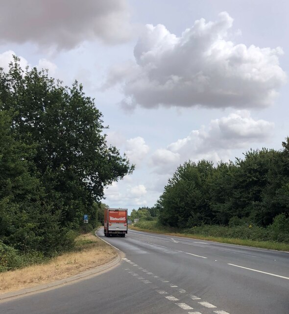
Sculthorpe Moor Images
Images are sourced within 2km of 52.835038/0.81924436 or Grid Reference TF9030. Thanks to Geograph Open Source API. All images are credited.


Sculthorpe Moor is located at Grid Ref: TF9030 (Lat: 52.835038, Lng: 0.81924436)
Administrative County: Norfolk
District: North Norfolk
Police Authority: Norfolk
What 3 Words
///pitching.engage.tangent. Near Fakenham, Norfolk
Nearby Locations
Related Wikis

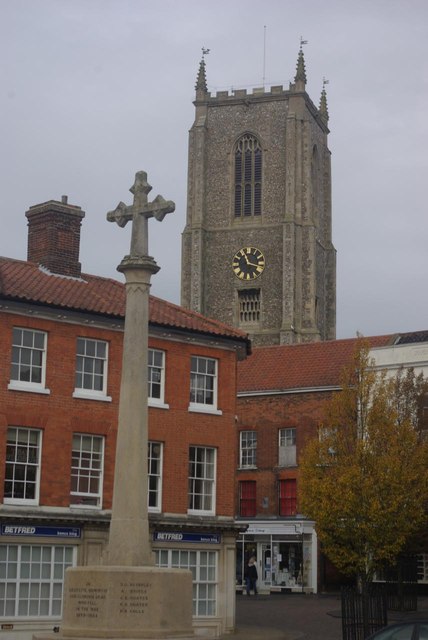
Sculthorpe, Norfolk
Sculthorpe is a village and civil parish in the English county of Norfolk. The village is some 4 km (2.5 mi) north-west of Fakenham and 5 km (3.1 mi) south...

Shereford
Shereford is a small village and former civil parish, now in the parish of Dunton, in the North Norfolk district, in the county of Norfolk, England. It...

Fakenham Academy
The Fakenham Academy (formerly Fakenham Grammar School and Fakenham High School and College) is a coeducational secondary school and sixth form located...

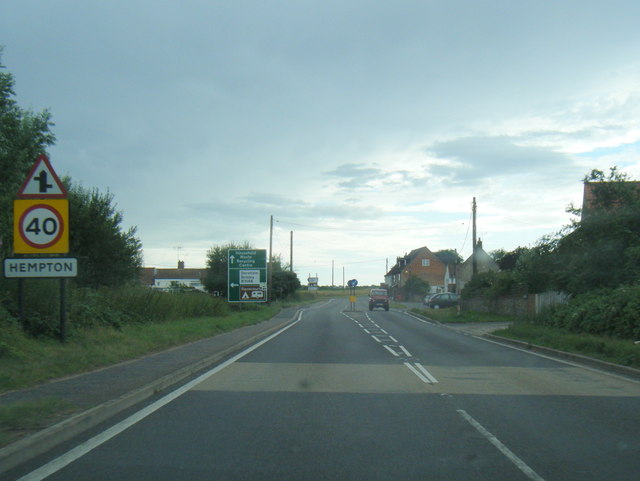
Hempton
Hempton is a village and a civil parish in the English county of Norfolk. The village is 0.8 miles (1.3 km) south west of Fakenham, 33.9 miles (54.6 km...
Hempton Priory
Hempton Priory was a medieval monastery at Hempton in Norfolk, England, variously referred to also as Fakenham or Damsend Priory. Of the buildings of...

Fakenham West railway station
Fakenham West railway station was a station in Norfolk. It was built as part of the Midland and Great Northern Joint Railway main line that meandered across...

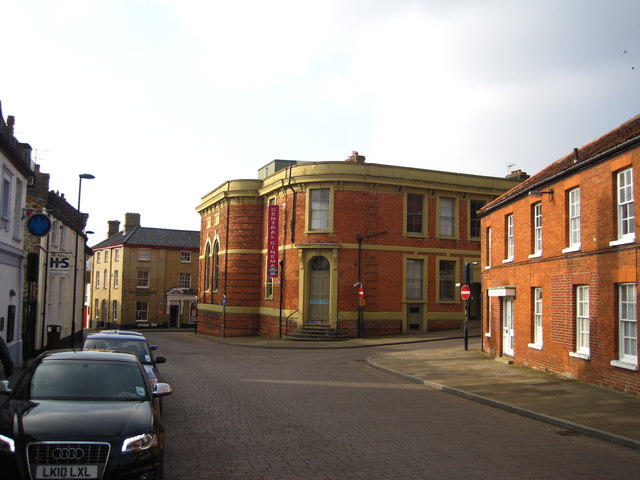
Corn Exchange, Fakenham
The Corn Exchange is a commercial building in the Market Place, Fakenham, Norfolk, England. The structure, which is currently used as a cinema, is a Grade...

Dunton, Norfolk
Dunton is a village and civil parish in the North Norfolk district, in the county of Norfolk, England. It is located about 5 kilometres (3.1 mi) west of...
Nearby Amenities
Located within 500m of 52.835038,0.81924436Have you been to Sculthorpe Moor?
Leave your review of Sculthorpe Moor below (or comments, questions and feedback).