Sculthorpe Fen

Downs, Moorland in Norfolk North Norfolk

England

Sculthorpe Fen

Sculthorpe Mill Grade II listed former 18th century watermill on the River Wensum, now a popular pub, restaurant and hotel <span class="nowrap"><a title="https://www.sculthorpemill.uk/" rel="nofollow ugc noopener" href="https://www.sculthorpemill.uk/">Link</a><img style="margin-left:2px;" alt="External link" title="External link - shift click to open in new window" src="https://s1.geograph.org.uk/img/external.png" width="10" height="10"/></span>
Sculthorpe Mill Credit: Richard Croft

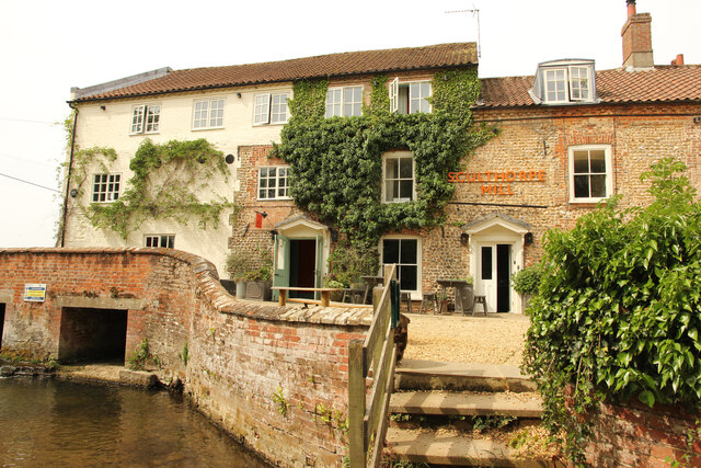
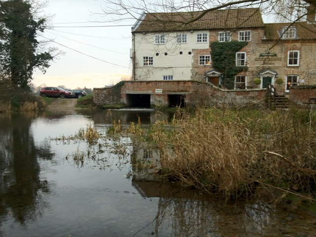
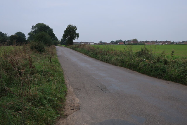
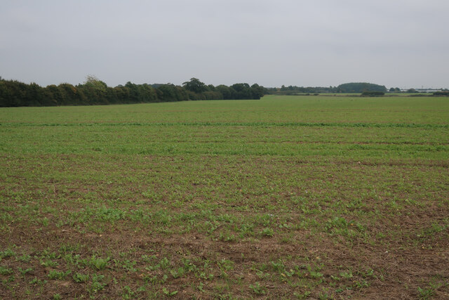
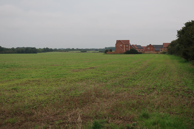
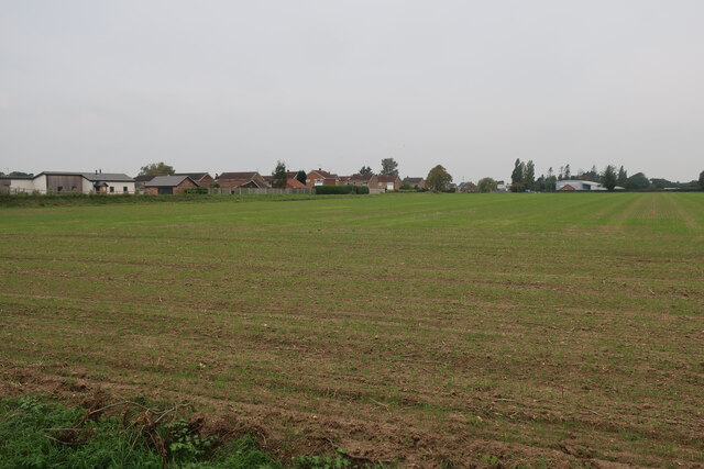
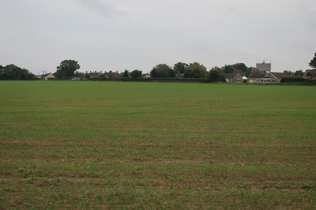
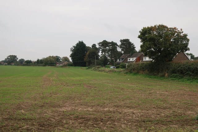
Sculthorpe Fen is a picturesque nature reserve located in Norfolk, England. Spanning over 250 acres, it is a diverse and enchanting landscape that encompasses downs, moorland, and fen habitats. The reserve is renowned for its outstanding natural beauty and is a haven for wildlife and nature enthusiasts.

The fen, characterized by its wetland ecosystem, is home to a variety of plant and animal species. The reed beds and open water attract a multitude of birdlife, including bitterns, marsh harriers, and various species of ducks and geese. Visitors can enjoy the sight of these magnificent birds in their natural habitat from specially constructed hides.

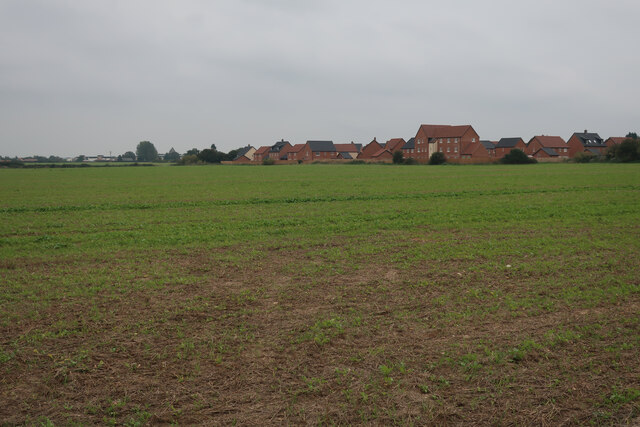
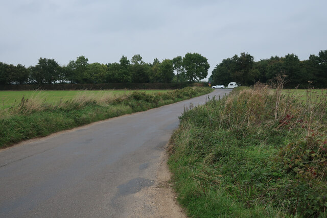
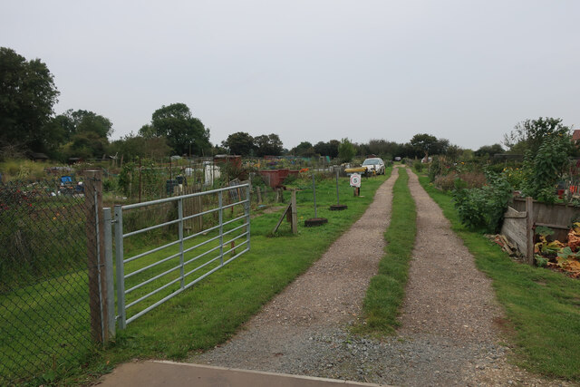
The downs and moorland areas of Sculthorpe Fen offer breathtaking views and a tranquil atmosphere. Here, visitors can explore the heathland, which is adorned with vibrant wildflowers during the summer months. The open grasslands are perfect for a leisurely stroll or a picnic, while the network of footpaths and trails allows for more adventurous hikes.

The reserve also features a visitor center, where visitors can learn more about the local flora and fauna through informative displays and interactive exhibits. The center also offers guided walks and educational programs for both adults and children.

Sculthorpe Fen is a beloved destination for nature lovers, birdwatchers, and those seeking a peaceful retreat in the heart of the Norfolk countryside. Its diverse habitats and rich biodiversity make it a truly remarkable place to explore and appreciate the wonders of the natural world.

If you have any feedback on the listing, please let us know in the comments section below.

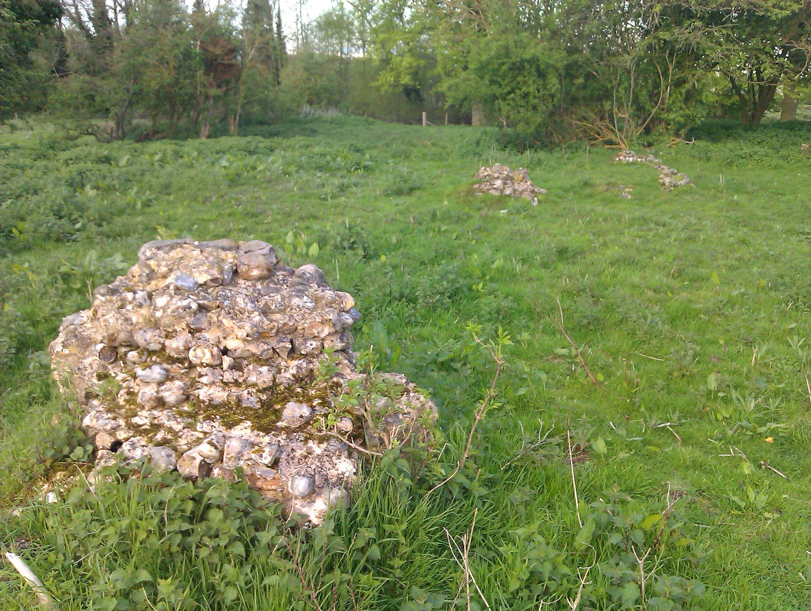
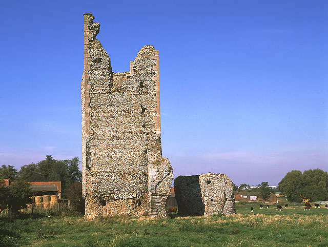
Sculthorpe Fen Images

Images are sourced within 2km of 52.833895/0.82987594 or Grid Reference TF9030. Thanks to Geograph Open Source API. All images are credited.

Sculthorpe Mill Grade II listed former 18th century watermill on the River Wensum, now a popular pub, restaurant and hotel <span class="nowrap"><a title="https://www.sculthorpemill.uk/" rel="nofollow ugc noopener" href="https://www.sculthorpemill.uk/">Link</a><img style="margin-left:2px;" alt="External link" title="External link - shift click to open in new window" src="https://s1.geograph.org.uk/img/external.png" width="10" height="10"/></span>
Sculthorpe Mill
Grade II listed former 18th century watermill on the River Wensum, now a popular pub, restaurant and hotel LinkExternal link
Ford at Sculthorpe Mill on the River Wensum This ford is found just south of Sculthorpe off the A148 on the road to Shereford. Beside the ford is the Hotel, Sculthorpe Mill. A video of the ford can be viewed at:
<span class="nowrap"><a title="https://youtu.be/Gzack8knFuA" rel="nofollow ugc noopener" href="https://youtu.be/Gzack8knFuA">Link</a><img style="margin-left:2px;" alt="External link" title="External link - shift click to open in new window" src="https://s1.geograph.org.uk/img/external.png" width="10" height="10"/></span>
Ford at Sculthorpe Mill on the River Wensum
This ford is found just south of Sculthorpe off the A148 on the road to Shereford. Beside the ford is the Hotel, Sculthorpe Mill. A video of the ford can be viewed at: LinkExternal link
Field by Water Moor Lane With some new housing replacing a poultry farm. There are well developed plans for a significant expansion of Fakenham into this area.
Field by Water Moor Lane
With some new housing replacing a poultry farm. There are well developed plans for a significant expansion of Fakenham into this area.
Water Moor Lane towards the A148
Water Moor Lane towards Fakenham
Field by Water Moor Lane There are well developed plans for a significant expansion of Fakenham into this area.
Field by Water Moor Lane
There are well developed plans for a significant expansion of Fakenham into this area.
Old yard by Water Moor Lane
New housing on edge of Fakenham There are well developed plans for a significant expansion of Fakenham into this area.
New housing on edge of Fakenham
There are well developed plans for a significant expansion of Fakenham into this area.
Field by Water Moor Lane
Brick Kiln Road New housing on the edge of Fakenham.
Brick Kiln Road
New housing on the edge of Fakenham.
Brick Kiln Road New housing on the edge of Fakenham.
Brick Kiln Road
New housing on the edge of Fakenham.
Grove Lane blocked A small area of new housing, with plans for a large development of the whole area.
Grove Lane blocked
A small area of new housing, with plans for a large development of the whole area.
Field on the edge of Fakenham With plans for development of the area.
Field on the edge of Fakenham
With plans for development of the area.
Current edge of Fakenham With plans for development of the fields between here and the bypass.
Current edge of Fakenham
With plans for development of the fields between here and the bypass.
Allotments on the edge of Fakenham
Grove Lane, Fakenham
A148 at its junction with the B1105
Former post office, Fakenham
Show me another place!

Sculthorpe Fen is located at Grid Ref: TF9030 (Lat: 52.833895, Lng: 0.82987594)

Administrative County: Norfolk

District: North Norfolk

Police Authority: Norfolk

What 3 Words

///plausible.pixel.arts. Near Fakenham, Norfolk

Related Wikis

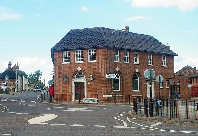
Corn Exchange, Fakenham

The Corn Exchange is a commercial building in the Market Place, Fakenham, Norfolk, England. The structure, which is currently used as a cinema, is a Grade...

Fakenham West railway station

Fakenham West railway station was a station in Norfolk. It was built as part of the Midland and Great Northern Joint Railway main line that meandered across...

Fakenham Academy

The Fakenham Academy (formerly Fakenham Grammar School and Fakenham High School and College) is a coeducational secondary school and sixth form located...

Sculthorpe, Norfolk

Sculthorpe is a village and civil parish in the English county of Norfolk. The village is some 4 km (2.5 mi) north-west of Fakenham and 5 km (3.1 mi) south...

Fakenham

Fakenham is a market town and civil parish in Norfolk, England. It is situated on the River Wensum, about 25 miles (40 kilometres) north west of Norwich...

Hempton

Hempton is a village and a civil parish in the English county of Norfolk. The village is 0.8 miles (1.3 km) south west of Fakenham, 33.9 miles (54.6 km...

Hempton Priory

Hempton Priory was a medieval monastery at Hempton in Norfolk, England, variously referred to also as Fakenham or Damsend Priory. Of the buildings of...

Pudding Norton

Pudding Norton is a village and civil parish in the English county of Norfolk. It covers an area of 2.30 sq mi (6.0 km2) and (including Testerton) had...

Nearby Amenities

Located within 500m of 52.833895,0.82987594
Power: pole
Lat/Long: 52.8294975/0.8298916
Power: pole
Lat/Long: 52.8308733/0.8262303
Power: pole
Lat/Long: 52.8298443/0.8266434
Power: pole
Lat/Long: 52.8299188/0.8265603
Power: pole
Lat/Long: 52.8295477/0.8299291
Power: pole
Lat/Long: 52.8299253/0.8264476
Power: pole
Lat/Long: 52.8297049/0.8283359
Power: pole
Lat/Long: 52.8296514/0.828352
Power: pole
Lat/Long: 52.8375168/0.8263938
Power: pole
Lat/Long: 52.8330788/0.836817
Power: pole
Lat/Long: 52.8374682/0.8263455
Power: pole
Lat/Long: 52.8363113/0.8296339
Power: pole
Lat/Long: 52.8362659/0.8295964
Power: pole
Lat/Long: 52.8362984/0.8252032
Power: pole
Lat/Long: 52.8333007/0.8257286
Power: pole
Lat/Long: 52.832134/0.8259647
Power: pole
Lat/Long: 52.8309268/0.8263349
Power: pole
Lat/Long: 52.8352613/0.8254229
Power: pole
Lat/Long: 52.8332603/0.8258361
Power: pole
Lat/Long: 52.8352646/0.825289
Power: pole
Lat/Long: 52.8351512/0.8327399
Power: pole
Lat/Long: 52.8354097/0.8323895
Power: pole
Lat/Long: 52.8342794/0.8255087
Power: pole
Lat/Long: 52.8346488/0.8337002
Power: pole
Lat/Long: 52.8342891/0.825616
Power: pole
Lat/Long: 52.8358706/0.8306424
Power: pole
Lat/Long: 52.8346424/0.8338879
Power: pole
Lat/Long: 52.8359062/0.8307068
Power: pole
Lat/Long: 52.8354428/0.8317958
Power: pole
Lat/Long: 52.8321486/0.8260828
Power: pole
Lat/Long: 52.8362854/0.8250852
Power: pole
Lat/Long: 52.8338665/0.8353413
Power: pole
Lat/Long: 52.8367255/0.8285208
Power: pole
Lat/Long: 52.834136/0.8346718
Power: pole
Lat/Long: 52.8366782/0.8284817
Power: pole
Lat/Long: 52.8370824/0.8273888
Power: pole
Lat/Long: 52.8350924/0.833012
Power: pole
Lat/Long: 52.8336442/0.8356036
Power: pole
Lat/Long: 52.8371259/0.8274444
Frank Jarvis Hide
Source: Visit
Tourism: viewpoint
Lat/Long: 52.8361556/0.8244803
Paul Johnson Hide
Tourism: viewpoint
Lat/Long: 52.8315986/0.8243912
Victor's Hide
Tourism: viewpoint
Lat/Long: 52.8314722/0.8244958
The data included in this document is from www.openstreetmap.org. The data is made available under ODbL.

Have you been to Sculthorpe Fen?

Leave your review of Sculthorpe Fen below (or comments, questions and feedback).