Alfred Wood
Wood, Forest in Kent Ashford
England
Alfred Wood

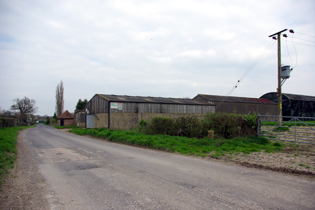
Alfred Wood is a beautiful forest located in the county of Kent, England. Stretching over an area of approximately 500 acres, it is known for its diverse flora and fauna, making it a popular destination for nature enthusiasts and outdoor lovers.
The forest is characterized by a mix of deciduous and coniferous trees, creating a stunning landscape that changes with the seasons. Visitors can expect to find a variety of tree species, including oak, beech, pine, and spruce, among others. The forest floor is covered with a rich carpet of mosses, ferns, and wildflowers, adding to its natural charm.
Alfred Wood is home to a wide range of wildlife, offering a sanctuary for many species. Birdwatchers will be delighted to spot various avian species, such as woodpeckers, owls, and warblers. Squirrels, foxes, and deer are also commonly spotted within the forest, adding to the sense of wilderness.
The forest provides an excellent opportunity for outdoor activities such as hiking, cycling, and picnicking. There are several well-marked trails that meander through the woodland, allowing visitors to explore its beauty at their own pace. The peaceful atmosphere and tranquil surroundings make it an ideal escape from the hustle and bustle of everyday life.
Alfred Wood is easily accessible, with ample parking facilities and well-maintained paths. It is a haven for nature lovers, providing a serene and picturesque setting to connect with the natural world. Whether one seeks a peaceful stroll, a family day out, or a chance to immerse oneself in nature, Alfred Wood is a destination that promises a memorable experience.
If you have any feedback on the listing, please let us know in the comments section below.
Alfred Wood Images
Images are sourced within 2km of 51.176359/0.71652732 or Grid Reference TQ8945. Thanks to Geograph Open Source API. All images are credited.


Alfred Wood is located at Grid Ref: TQ8945 (Lat: 51.176359, Lng: 0.71652732)
Administrative County: Kent
District: Ashford
Police Authority: Kent
What 3 Words
///adopts.covers.brilliant. Near Headcorn, Kent
Nearby Locations
Related Wikis

Volvo World Match Play Championship
The Volvo World Match Play Championship was an annual match play men's professional golf tournament which was staged from 1964 to 2014. The World Match...
2014 Volvo World Match Play Championship
The 2014 Volvo World Match Play Championship was the 49th Volvo World Match Play Championship to be played. It was held 15–19 October, with the champion...

List of local nature reserves in Kent
Kent is a county in the south-eastern corner of England. It is bounded to the north by Greater London and the Thames Estuary, to the west by Sussex and...

RAF Headcorn
Royal Air Force Headcorn or more commonly known as RAF Headcorn is a former Royal Air Force Advanced Landing Ground located 2 miles (3.2 km) northeast...
Egerton, Kent
Egerton is a village and civil parish in the Ashford District of Kent, England. The village is on the Greensand Ridge 9 miles (14.4 km) north of Ashford...
Stonebridge Green
Stonebridge Green is a settlement adjacent to, and within the civil parish of, Egerton in the Ashford District of Kent, England. It lies immediately north...

Rivers of Kent
Four major rivers drain the county of Kent, England. == River Medway == The catchment area of the Medway covers almost 25% of the county. The detailed...

Kent
Kent is a county in the South East England region, the closest county to continental Europe. It borders Essex across the entire estuary of the River Thames...
Nearby Amenities
Located within 500m of 51.176359,0.71652732Have you been to Alfred Wood?
Leave your review of Alfred Wood below (or comments, questions and feedback).