Acorn Wood
Wood, Forest in Kent Ashford
England
Acorn Wood

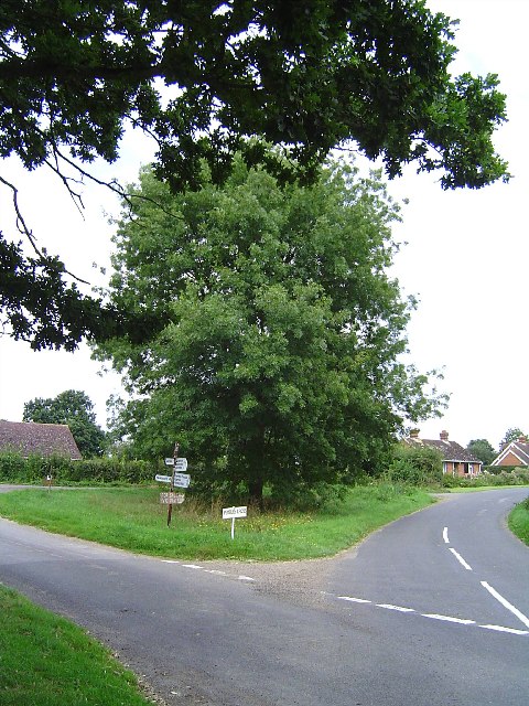
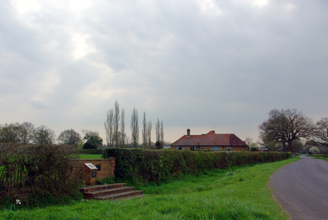
Acorn Wood, located in Kent, England, is a picturesque woodland area renowned for its natural beauty and rich biodiversity. Covering an area of approximately 100 acres, this ancient woodland is characterized by its dense canopy of oak trees, which give the wood its name. Acorn Wood is a popular destination for nature enthusiasts, bird watchers, and hikers due to its diverse flora and fauna.
The woodland is home to a wide range of plant species, including bluebells, primroses, and wild garlic, which create a stunning display of colors during the spring months. The vibrant undergrowth provides a habitat for various animals such as rabbits, squirrels, and badgers, while the towering oak trees offer nesting sites for birds like woodpeckers, owls, and warblers.
Acorn Wood also features several well-maintained walking trails, allowing visitors to explore its beauty at their own pace. These paths wind through the wood, meandering alongside babbling brooks and tranquil ponds, providing an opportunity for peaceful reflection in nature.
The woodland is managed by a dedicated team of conservationists who work tirelessly to preserve its natural heritage. They undertake regular maintenance activities, ensuring the protection of endangered species and the sustainability of the ecosystem. Educational workshops and guided tours are also organized to promote awareness about the importance of woodland conservation.
In summary, Acorn Wood, Kent is a stunning ancient woodland offering visitors a chance to immerse themselves in nature. With its diverse flora and fauna, scenic trails, and dedicated conservation efforts, it is a true haven for nature lovers.
If you have any feedback on the listing, please let us know in the comments section below.
Acorn Wood Images
Images are sourced within 2km of 51.178461/0.71082711 or Grid Reference TQ8945. Thanks to Geograph Open Source API. All images are credited.


Acorn Wood is located at Grid Ref: TQ8945 (Lat: 51.178461, Lng: 0.71082711)
Administrative County: Kent
District: Ashford
Police Authority: Kent
What 3 Words
///cover.clear.warthog. Near Headcorn, Kent
Nearby Locations
Related Wikis

RAF Headcorn
Royal Air Force Headcorn or more commonly known as RAF Headcorn is a former Royal Air Force Advanced Landing Ground located 2 miles (3.2 km) northeast...

Volvo World Match Play Championship
The Volvo World Match Play Championship was an annual match play men's professional golf tournament which was staged from 1964 to 2014. The World Match...
2014 Volvo World Match Play Championship
The 2014 Volvo World Match Play Championship was the 49th Volvo World Match Play Championship to be played. It was held 15–19 October, with the champion...

List of local nature reserves in Kent
Kent is a county in the south-eastern corner of England. It is bounded to the north by Greater London and the Thames Estuary, to the west by Sussex and...
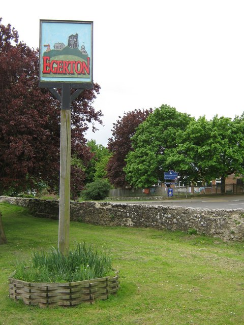
Egerton, Kent
Egerton is a village and civil parish in the Ashford District of Kent, England. The village is on the Greensand Ridge 9 miles (14.4 km) north of Ashford...

Rivers of Kent
Four major rivers drain the county of Kent, England. == River Medway == The catchment area of the Medway covers almost 25% of the county. The detailed...

Kent
Kent is a county in the South East England region, the closest county to continental Europe. It borders Essex across the entire estuary of the River Thames...
Stonebridge Green
Stonebridge Green is a settlement adjacent to, and within the civil parish of, Egerton in the Ashford District of Kent, England. It lies immediately north...
Nearby Amenities
Located within 500m of 51.178461,0.71082711Have you been to Acorn Wood?
Leave your review of Acorn Wood below (or comments, questions and feedback).