Claypit Spinney
Wood, Forest in Suffolk West Suffolk
England
Claypit Spinney
Claypit Spinney is a small wood located in Suffolk, England. Covering an area of approximately 10 acres, the spinney is characterized by a dense canopy of trees including oak, ash, and beech. The forest floor is carpeted with a variety of wildflowers, ferns, and mosses, creating a rich and diverse ecosystem.
Visitors to Claypit Spinney can enjoy leisurely walks along the winding paths that meander through the woods, providing opportunities for birdwatching and wildlife spotting. The tranquil atmosphere and peaceful surroundings make it a popular destination for nature lovers and outdoor enthusiasts seeking a quiet retreat from the hustle and bustle of everyday life.
The spinney is also home to a variety of wildlife, including deer, squirrels, and a wide range of bird species. The diverse habitat provides a sanctuary for these creatures, making it an important conservation area in the region.
Overall, Claypit Spinney offers a serene and picturesque setting for visitors to immerse themselves in the beauty of nature and explore the wonders of the Suffolk countryside.
If you have any feedback on the listing, please let us know in the comments section below.
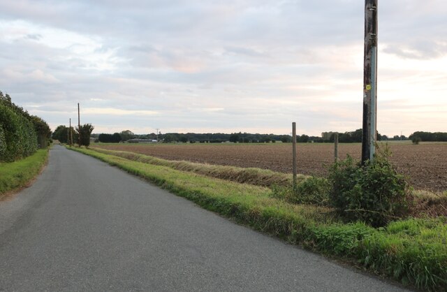
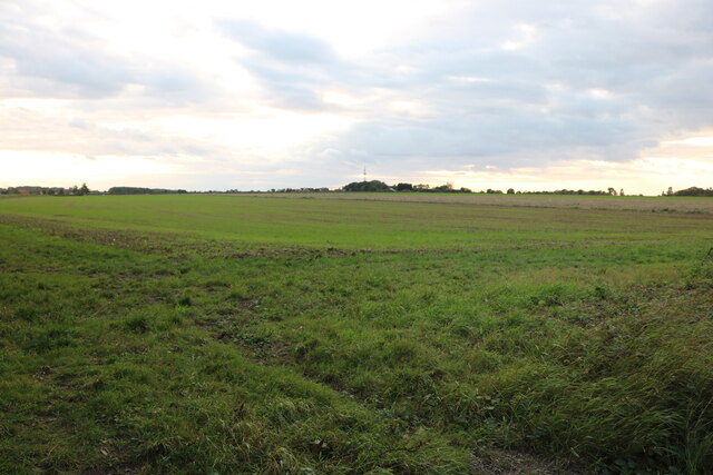
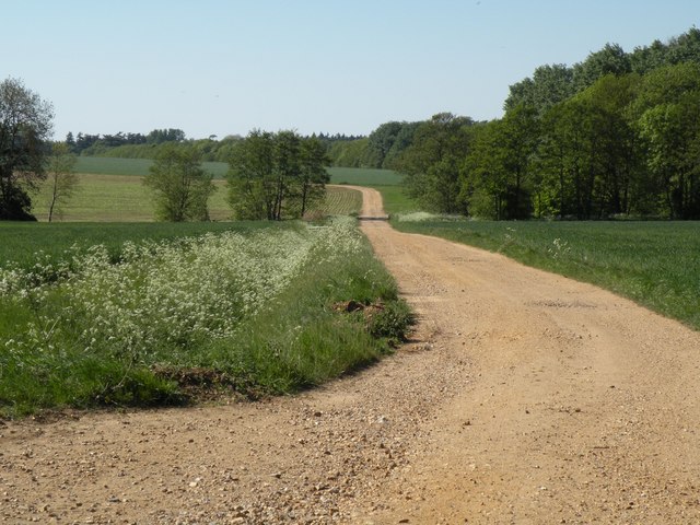
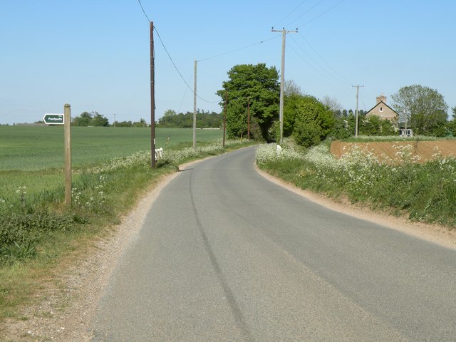
Claypit Spinney Images
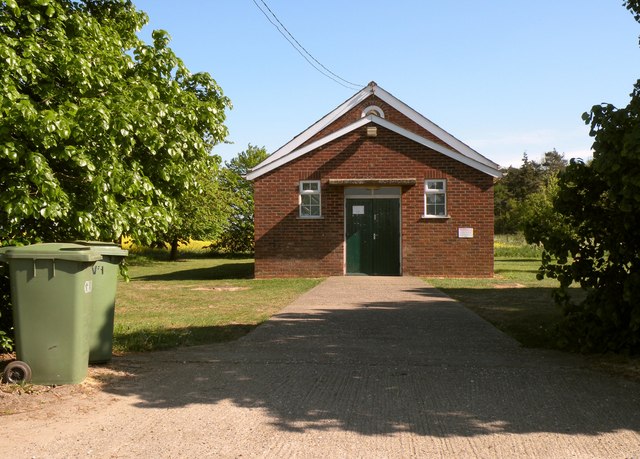
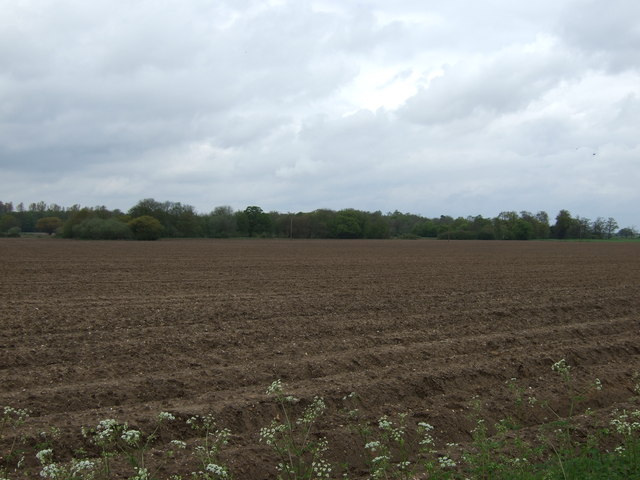
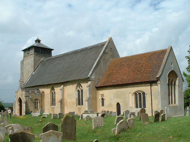
Images are sourced within 2km of 52.298691/0.77551808 or Grid Reference TL8970. Thanks to Geograph Open Source API. All images are credited.


Claypit Spinney is located at Grid Ref: TL8970 (Lat: 52.298691, Lng: 0.77551808)
Administrative County: Suffolk
District: West Suffolk
Police Authority: Suffolk
What 3 Words
///crunch.layered.nutty. Near Great Barton, Suffolk
Nearby Locations
Related Wikis
Great Livermere
Great Livermere is a village and civil parish in the West Suffolk district of Suffolk in eastern England. It is located around four miles north-east of...

Edward Capell
Edward Capell (11 June 1713 – 24 February 1781) was an English Shakespearian critic. == Biography == He was born at Troston Hall (TL901717) in Suffolk...

Troston
Troston is a village and civil parish in Suffolk, England, five miles north-east of Bury St Edmunds. Its parish church contains rare mediaeval wall paintings...

Conyer's Green
Conyer's Green is a village in the civil parish of Great Barton, in the West Suffolk district, in the county of Suffolk, England.
Nearby Amenities
Located within 500m of 52.298691,0.77551808Have you been to Claypit Spinney?
Leave your review of Claypit Spinney below (or comments, questions and feedback).