Gusson Wood
Wood, Forest in Kent Maidstone
England
Gusson Wood
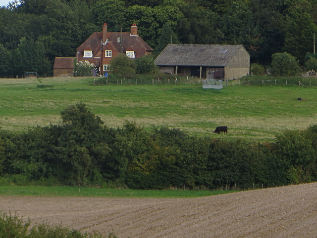
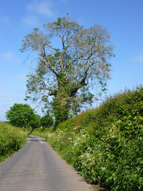
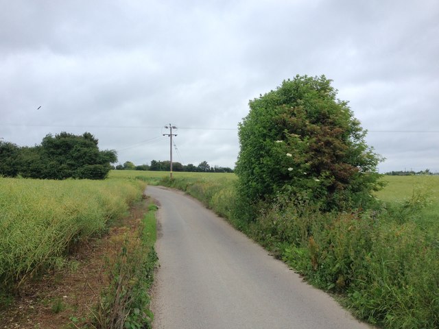
Gusson Wood is a picturesque forest located in the county of Kent, England. Stretching across an area of approximately 100 acres, this woodland is renowned for its natural beauty and diverse flora and fauna.
The forest is predominantly composed of deciduous trees, with oak, beech, and ash being the most common species found in the area. These towering trees create a dense canopy, allowing only dappled sunlight to filter through to the forest floor. This, in turn, creates a unique ecosystem that supports a wide range of wildlife.
Gusson Wood is home to an array of animal species, including deer, badgers, foxes, and numerous bird species. The forest provides a sanctuary for these creatures, offering ample food and shelter.
For nature enthusiasts and hikers, Gusson Wood provides an ideal escape from the hustle and bustle of everyday life. The forest boasts several well-maintained walking trails, allowing visitors to explore the woodland at their own pace. These trails meander through the forest, passing by tranquil streams and small ponds, adding to the serene ambiance of the area.
In addition to its natural beauty, Gusson Wood also holds historical significance. The forest has been a part of the local community for centuries, and remnants of ancient settlements and structures can still be found within its boundaries. These archaeological sites offer a glimpse into the rich history of the area, providing a fascinating insight into the lives of those who once inhabited the land.
Overall, Gusson Wood is a stunning and ecologically diverse forest that offers a tranquil retreat for nature lovers and history enthusiasts alike.
If you have any feedback on the listing, please let us know in the comments section below.
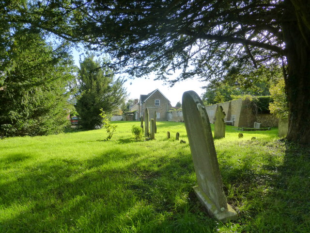
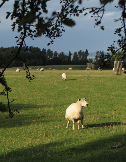
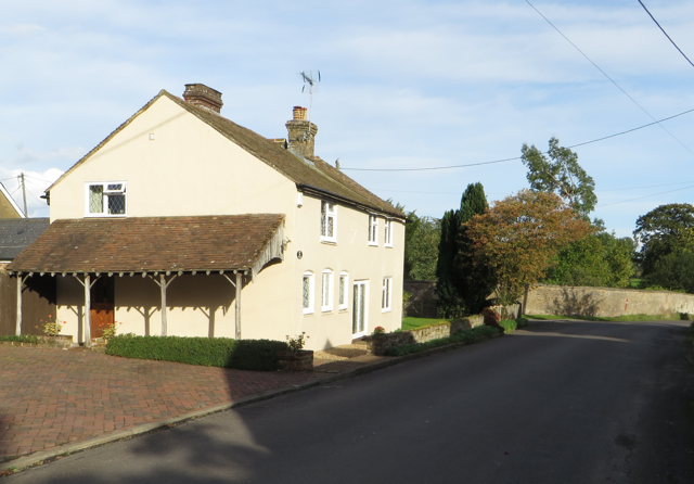
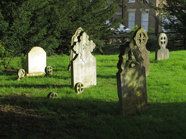
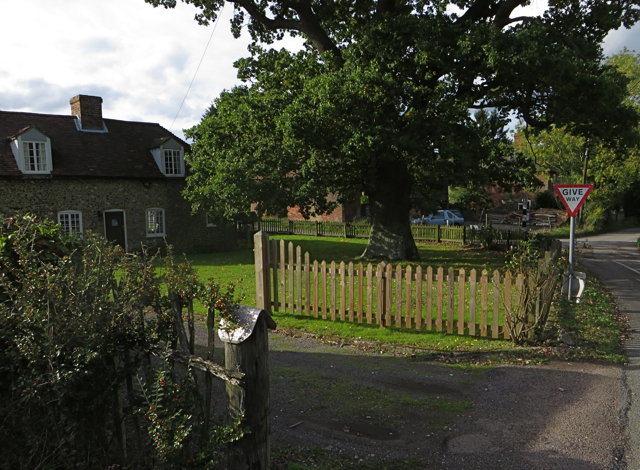
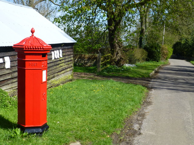
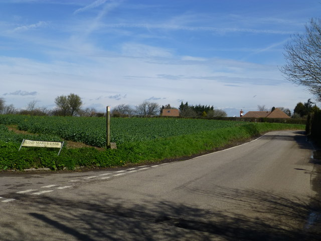
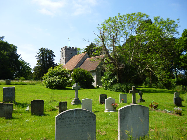
Gusson Wood Images
Images are sourced within 2km of 51.290889/0.6939791 or Grid Reference TQ8758. Thanks to Geograph Open Source API. All images are credited.

Gusson Wood is located at Grid Ref: TQ8758 (Lat: 51.290889, Lng: 0.6939791)
Administrative County: Kent
District: Maidstone
Police Authority: Kent
What 3 Words
///breeze.required.ferrets. Near Harrietsham, Kent
Nearby Locations
Related Wikis

Bedmonton
Bedmonton or Bedmanton is a hamlet situated about five miles (8 km) on a minor road between the B2163 road and Wormshill to the south of Sittingbourne...

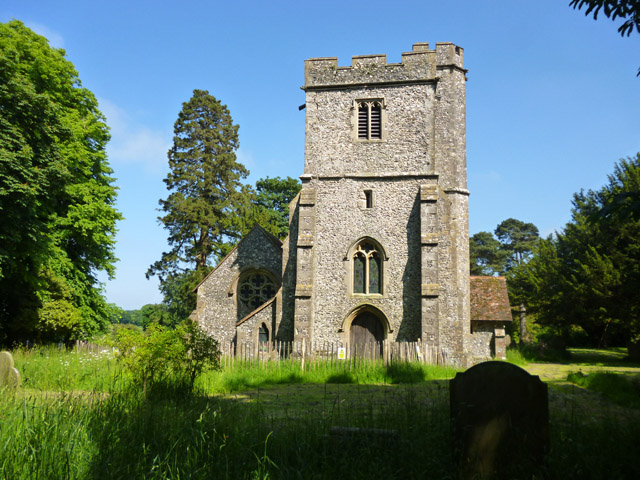
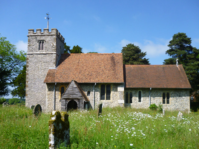
St Giles Church, Wormshill
St Giles Church is the sole church in the village of Wormshill in Kent. The church is Anglican and is dedicated to Saint Giles. It forms part of the united...
Wormshill
Wormshill ( wurmz-HIL), historically Wormsell, is a small village and civil parish within the Borough of Maidstone, Kent, England. The parish is approximately...

Frinsted
Frinsted or Frinstead is a small village and civil parish in the ecclesiastical parish of Wormshill and in the Maidstone District of Kent, England. and...
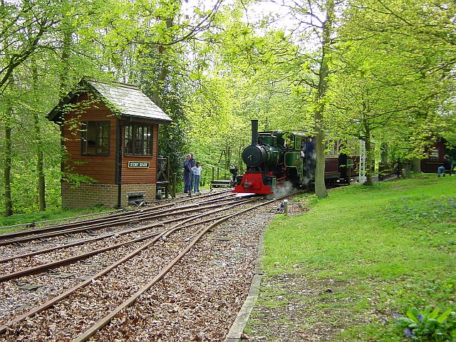
Bredgar and Wormshill Light Railway
The Bredgar and Wormshill Light Railway (BWLR) is located near the villages of Wormshill and Bredgar in Kent, just south of Sittingbourne. It is a 2 ft...
Bexon
Bexon is a village in Kent, England, situated North of the parishes of Frinsted and Bicknor, just south of the M2 motorway. Bexon is also the name of...

Bicknor
Bicknor is a village and civil parish in the Maidstone district of Kent, England, north-east of Maidstone and south-west of Sittingbourne. It had a population...

Bredgar
Bredgar is a village and civil parish in the Borough of Swale, Kent, England. == Location == The village lies to the southwest of Sittingbourne on the...
Nearby Amenities
Located within 500m of 51.290889,0.6939791Have you been to Gusson Wood?
Leave your review of Gusson Wood below (or comments, questions and feedback).