Stony Shaw
Wood, Forest in Kent Maidstone
England
Stony Shaw
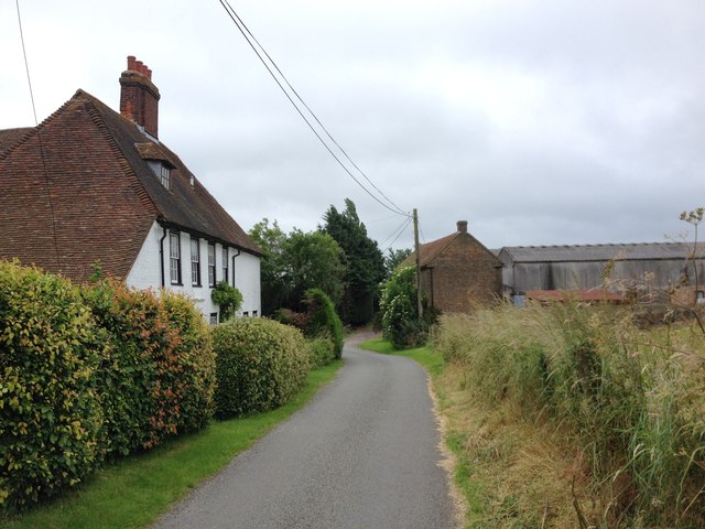
Stony Shaw is a small village located in the county of Kent, England. Situated within the scenic Wood and Forest area, the village is known for its picturesque surroundings and tranquil atmosphere. With a population of around 500 residents, Stony Shaw offers a tight-knit community feel, making it an ideal place for those seeking a peaceful rural lifestyle.
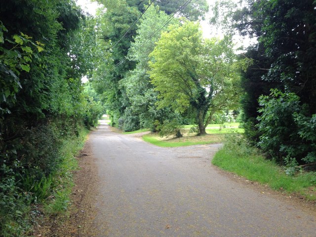
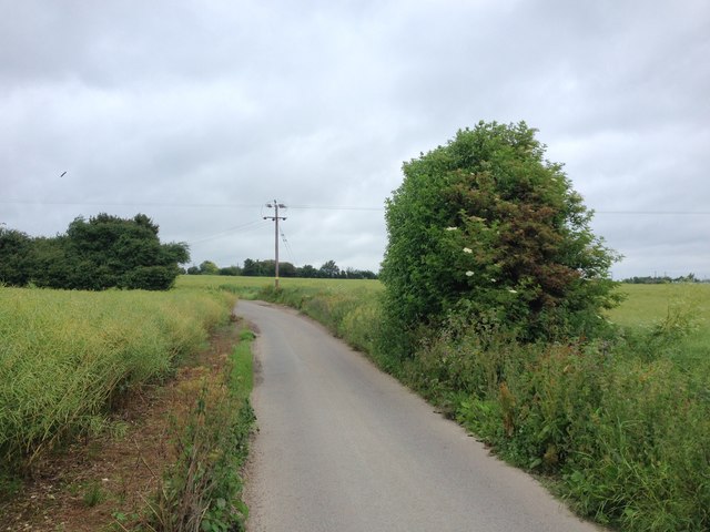
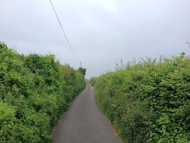
The village is surrounded by lush woodlands and dense forests, providing ample opportunities for nature lovers and outdoor enthusiasts to explore its natural beauty. The area is home to various species of wildlife, including deer, rabbits, and a rich variety of birdlife, making it a haven for wildlife enthusiasts and birdwatchers.
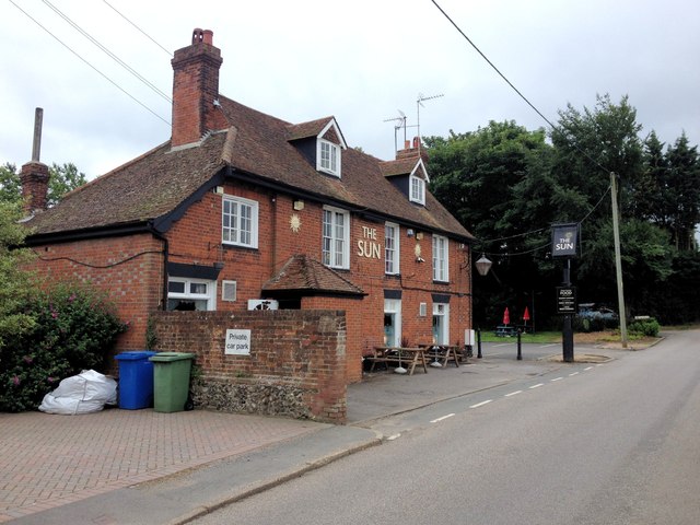
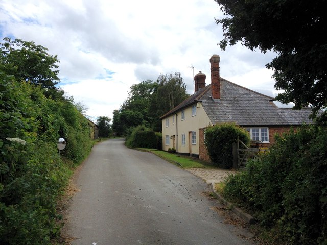
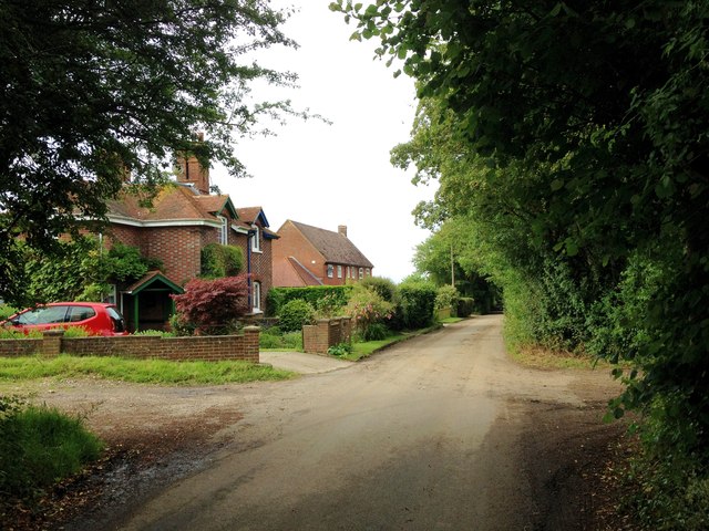
Stony Shaw boasts a charming village center, where traditional cottages and historic buildings add to its character. The village has a local pub, The Woodland Arms, which serves as a social hub for residents and visitors alike. The pub offers a warm and friendly atmosphere, where locals often gather to enjoy a pint and catch up on the latest news.
Although Stony Shaw is a small village, it benefits from its proximity to nearby towns and amenities. The village is just a short drive away from the town of Forestville, where residents can find a range of shops, supermarkets, and other essential services.
Overall, Stony Shaw, Kent (Wood, Forest) is a charming village that offers a peaceful and idyllic setting for those looking to escape the hustle and bustle of city life. With its natural beauty, strong sense of community, and convenient location, Stony Shaw appeals to both nature lovers and those seeking a close-knit village atmosphere.
If you have any feedback on the listing, please let us know in the comments section below.
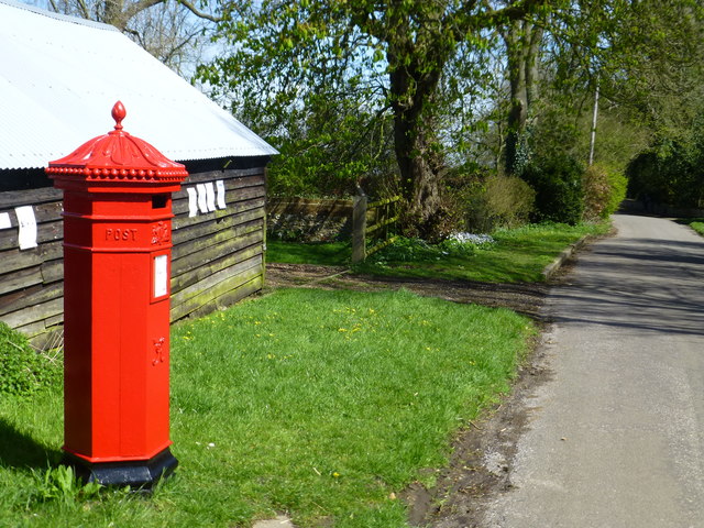
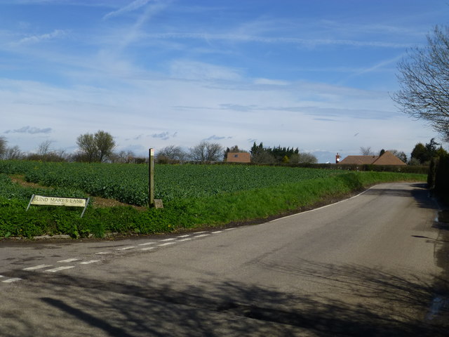
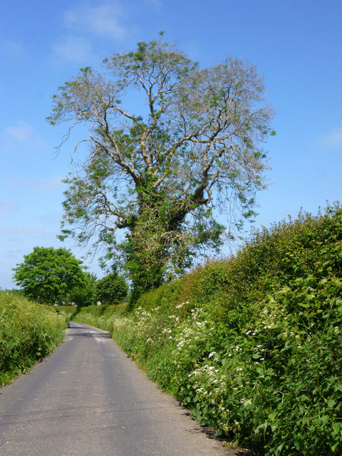
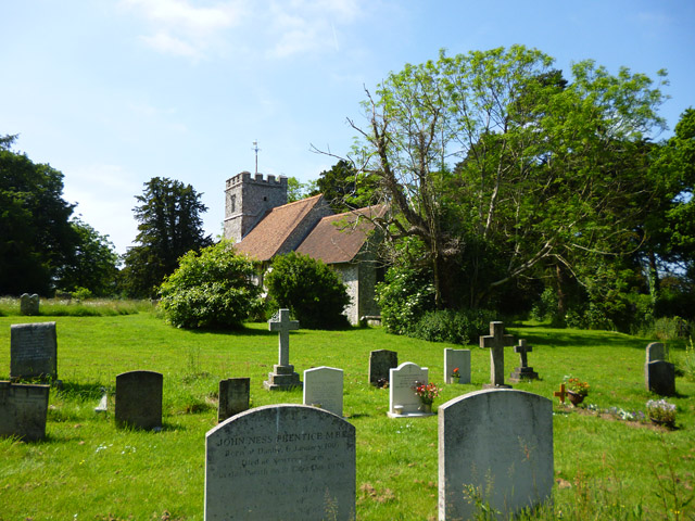
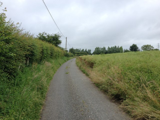
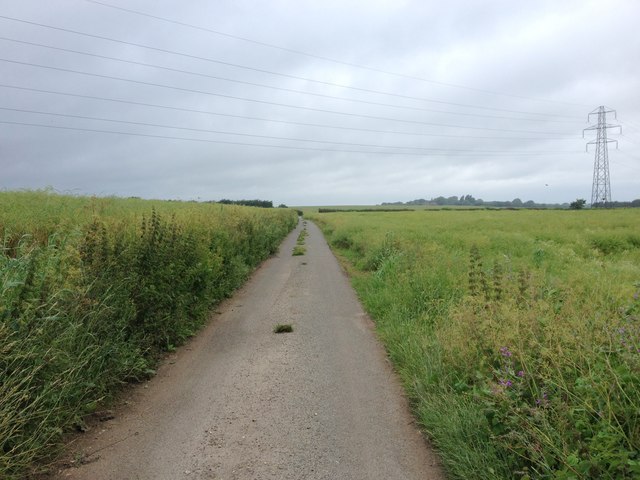
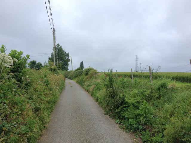
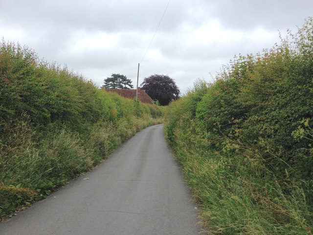
Stony Shaw Images
Images are sourced within 2km of 51.293012/0.68454985 or Grid Reference TQ8758. Thanks to Geograph Open Source API. All images are credited.


Stony Shaw is located at Grid Ref: TQ8758 (Lat: 51.293012, Lng: 0.68454985)
Administrative County: Kent
District: Maidstone
Police Authority: Kent
What 3 Words
///eggplants.bibs.navigate. Near Harrietsham, Kent
Nearby Locations
Related Wikis

Bedmonton
Bedmonton or Bedmanton is a hamlet situated about five miles (8 km) on a minor road between the B2163 road and Wormshill to the south of Sittingbourne...
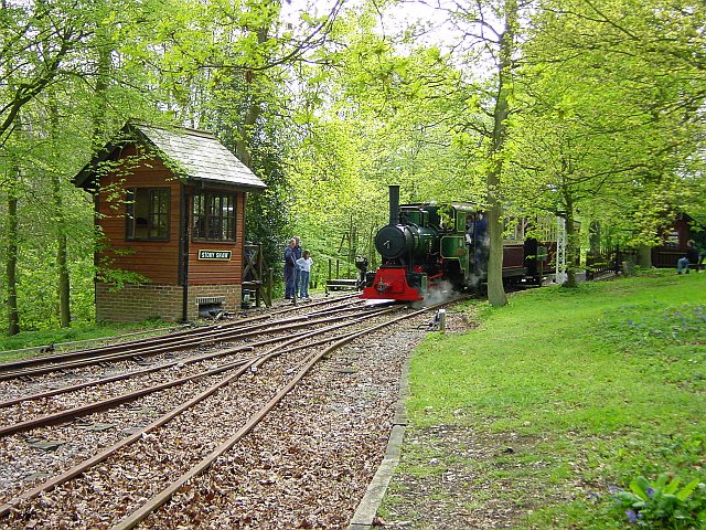
Bredgar and Wormshill Light Railway
The Bredgar and Wormshill Light Railway (BWLR) is located near the villages of Wormshill and Bredgar in Kent, just south of Sittingbourne. It is a 2 ft...

Bicknor
Bicknor is a village and civil parish in the Maidstone district of Kent, England, north-east of Maidstone and south-west of Sittingbourne. It had a population...

Wormshill
Wormshill ( wurmz-HIL), historically Wormsell, is a small village and civil parish within the Borough of Maidstone, Kent, England. The parish is approximately...
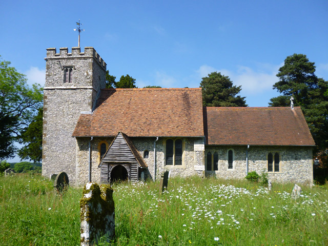
St Giles Church, Wormshill
St Giles Church is the sole church in the village of Wormshill in Kent. The church is Anglican and is dedicated to Saint Giles. It forms part of the united...

Frinsted
Frinsted or Frinstead is a small village and civil parish in the ecclesiastical parish of Wormshill and in the Maidstone District of Kent, England. and...

Bredgar
Bredgar is a village and civil parish in the Borough of Swale, Kent, England. == Location == The village lies to the southwest of Sittingbourne on the...
Bexon
Bexon is a village in Kent, England, situated North of the parishes of Frinsted and Bicknor, just south of the M2 motorway. Bexon is also the name of...
Nearby Amenities
Located within 500m of 51.293012,0.68454985Have you been to Stony Shaw?
Leave your review of Stony Shaw below (or comments, questions and feedback).