Crabtree Wood
Wood, Forest in Kent Maidstone
England
Crabtree Wood
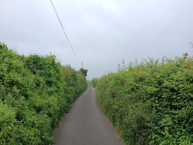
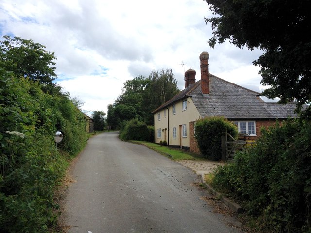
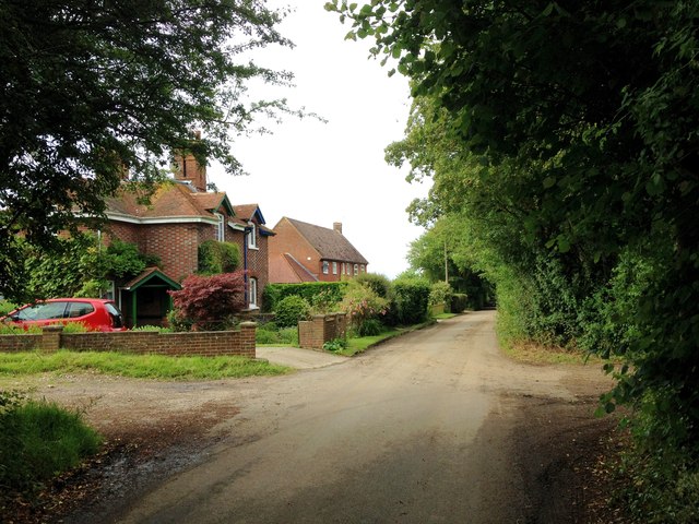
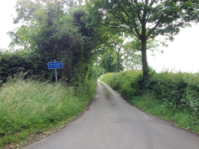
Crabtree Wood, located in Kent, is a picturesque forest known for its natural beauty and diverse wildlife. Spanning approximately 200 acres, this woodland area offers visitors a serene and peaceful environment to explore and enjoy nature.
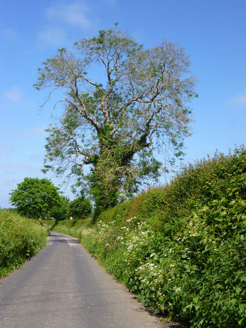
The wood is characterized by its dense canopy of trees, predominantly consisting of oak, beech, and ash. These towering trees provide ample shade and create a cool and tranquil atmosphere, making it an ideal destination for nature enthusiasts and hikers.
Crabtree Wood is home to a wide variety of wildlife species. Visitors may encounter native birds such as woodpeckers, owls, and thrushes, as well as small mammals like rabbits, squirrels, and foxes. The forest floor is also teeming with life, with an abundance of wildflowers, fungi, and insects.
The wood features several well-maintained walking trails that wind through its enchanting landscape, allowing visitors to explore the area at their own pace. These trails are suitable for all ages and fitness levels, offering a range of distances and difficulty levels.
In addition to its natural beauty, Crabtree Wood boasts several amenities to enhance visitors' experience. There are picnic areas and benches dotted throughout the forest, providing the perfect spots to relax and enjoy a packed lunch. The wood also has designated areas for camping and barbecues, making it a popular destination for families and groups.
Overall, Crabtree Wood in Kent offers a wonderful opportunity to immerse oneself in nature, with its stunning scenery, diverse wildlife, and well-maintained trails. Whether one is looking for a peaceful walk, a family outing, or a chance to spot wildlife, this woodland is a must-visit destination for nature lovers.
If you have any feedback on the listing, please let us know in the comments section below.
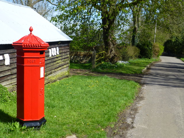
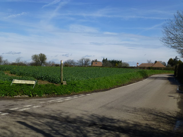
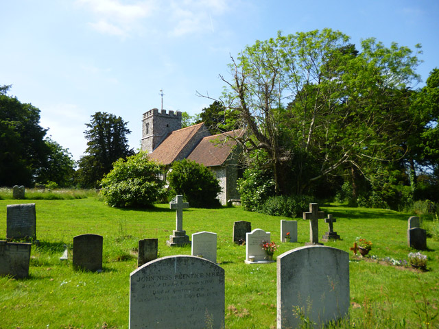
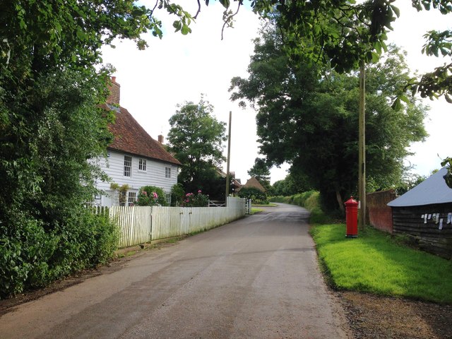
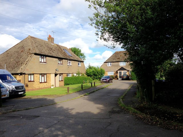
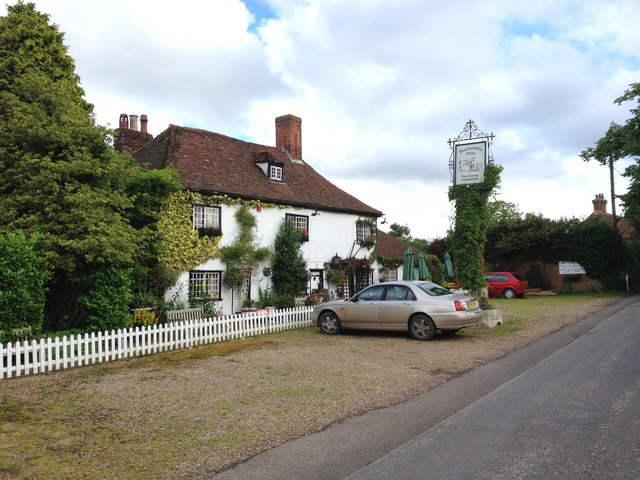
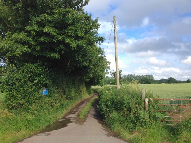
Crabtree Wood Images
Images are sourced within 2km of 51.291112/0.68350658 or Grid Reference TQ8758. Thanks to Geograph Open Source API. All images are credited.


Crabtree Wood is located at Grid Ref: TQ8758 (Lat: 51.291112, Lng: 0.68350658)
Administrative County: Kent
District: Maidstone
Police Authority: Kent
What 3 Words
///fattening.shock.island. Near Harrietsham, Kent
Nearby Locations
Related Wikis

Bedmonton
Bedmonton or Bedmanton is a hamlet situated about five miles (8 km) on a minor road between the B2163 road and Wormshill to the south of Sittingbourne...
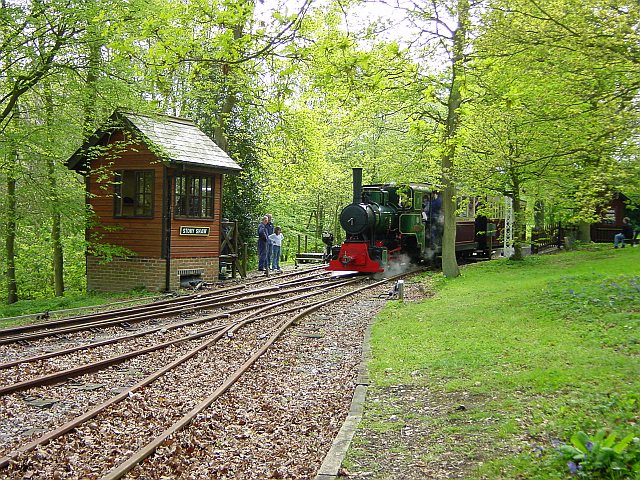
Bredgar and Wormshill Light Railway
The Bredgar and Wormshill Light Railway (BWLR) is located near the villages of Wormshill and Bredgar in Kent, just south of Sittingbourne. It is a 2 ft...

Wormshill
Wormshill ( wurmz-HIL), historically Wormsell, is a small village and civil parish within the Borough of Maidstone, Kent, England. The parish is approximately...

Bicknor
Bicknor is a village and civil parish in the Maidstone district of Kent, England, north-east of Maidstone and south-west of Sittingbourne. It had a population...
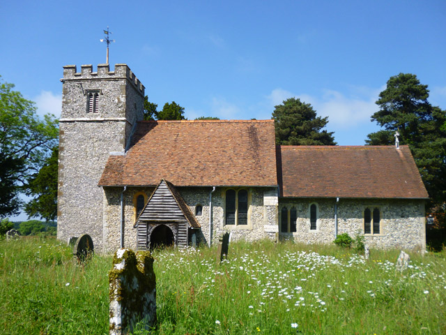
St Giles Church, Wormshill
St Giles Church is the sole church in the village of Wormshill in Kent. The church is Anglican and is dedicated to Saint Giles. It forms part of the united...

Frinsted
Frinsted or Frinstead is a small village and civil parish in the ecclesiastical parish of Wormshill and in the Maidstone District of Kent, England. and...
Bexon
Bexon is a village in Kent, England, situated North of the parishes of Frinsted and Bicknor, just south of the M2 motorway. Bexon is also the name of...

Hucking
Hucking is a small hamlet and civil parish in the Maidstone District of Kent, England. It is located 4 miles (6.4 km) north-east of Maidstone and 5 miles...
Nearby Amenities
Located within 500m of 51.291112,0.68350658Have you been to Crabtree Wood?
Leave your review of Crabtree Wood below (or comments, questions and feedback).