Ash Belt
Wood, Forest in Sussex Rother
England
Ash Belt
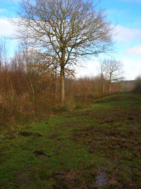
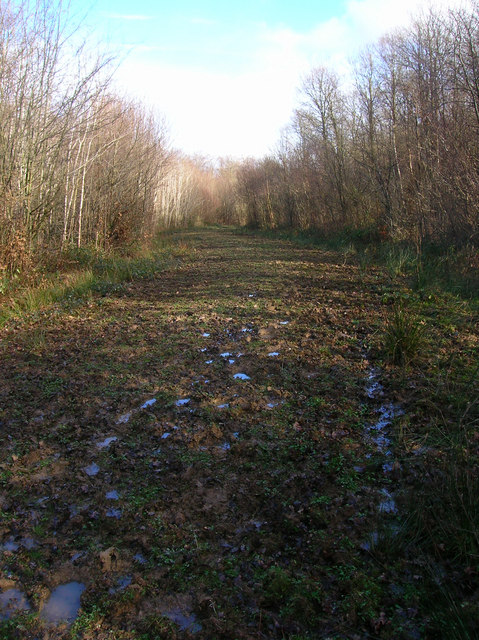
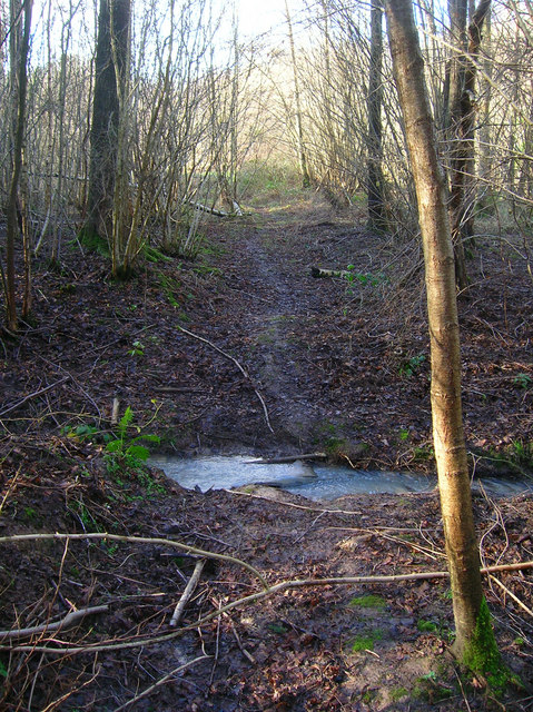
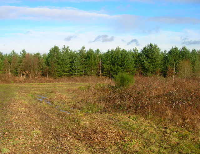
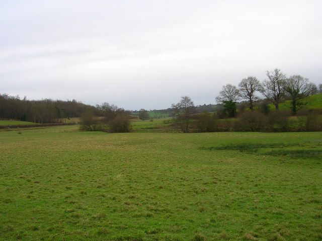
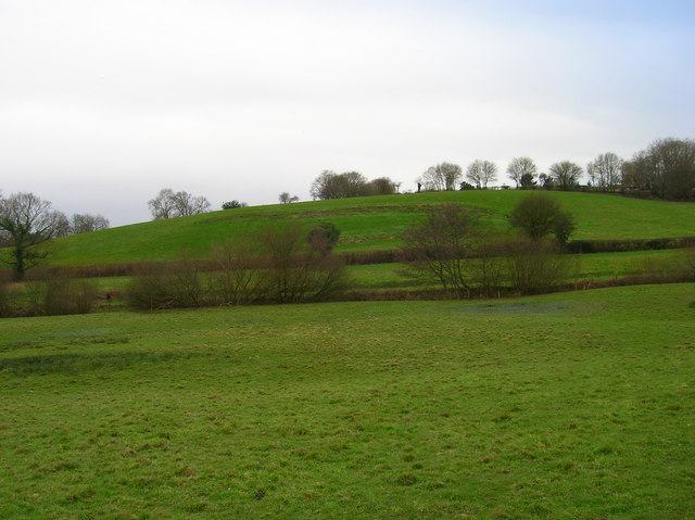
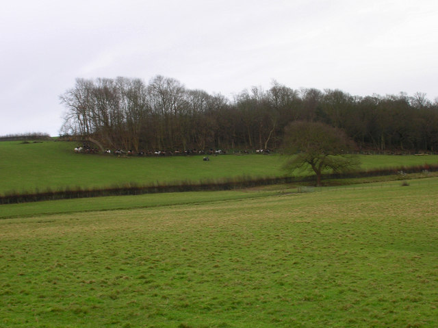
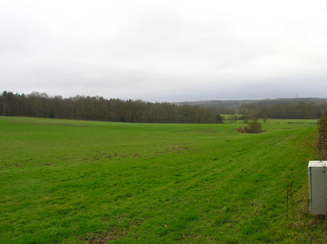
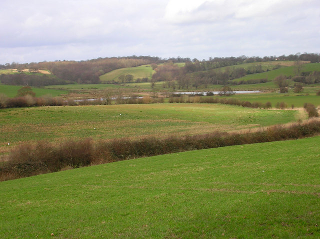
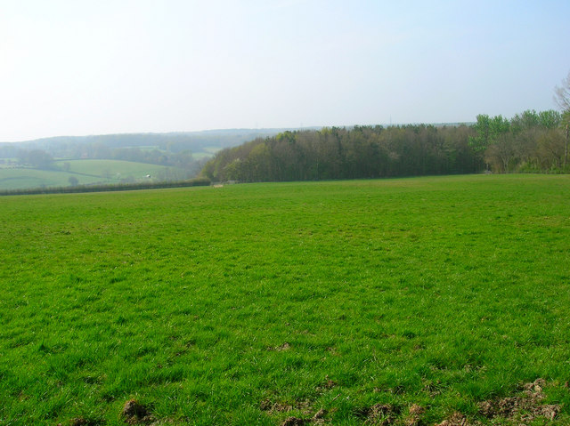
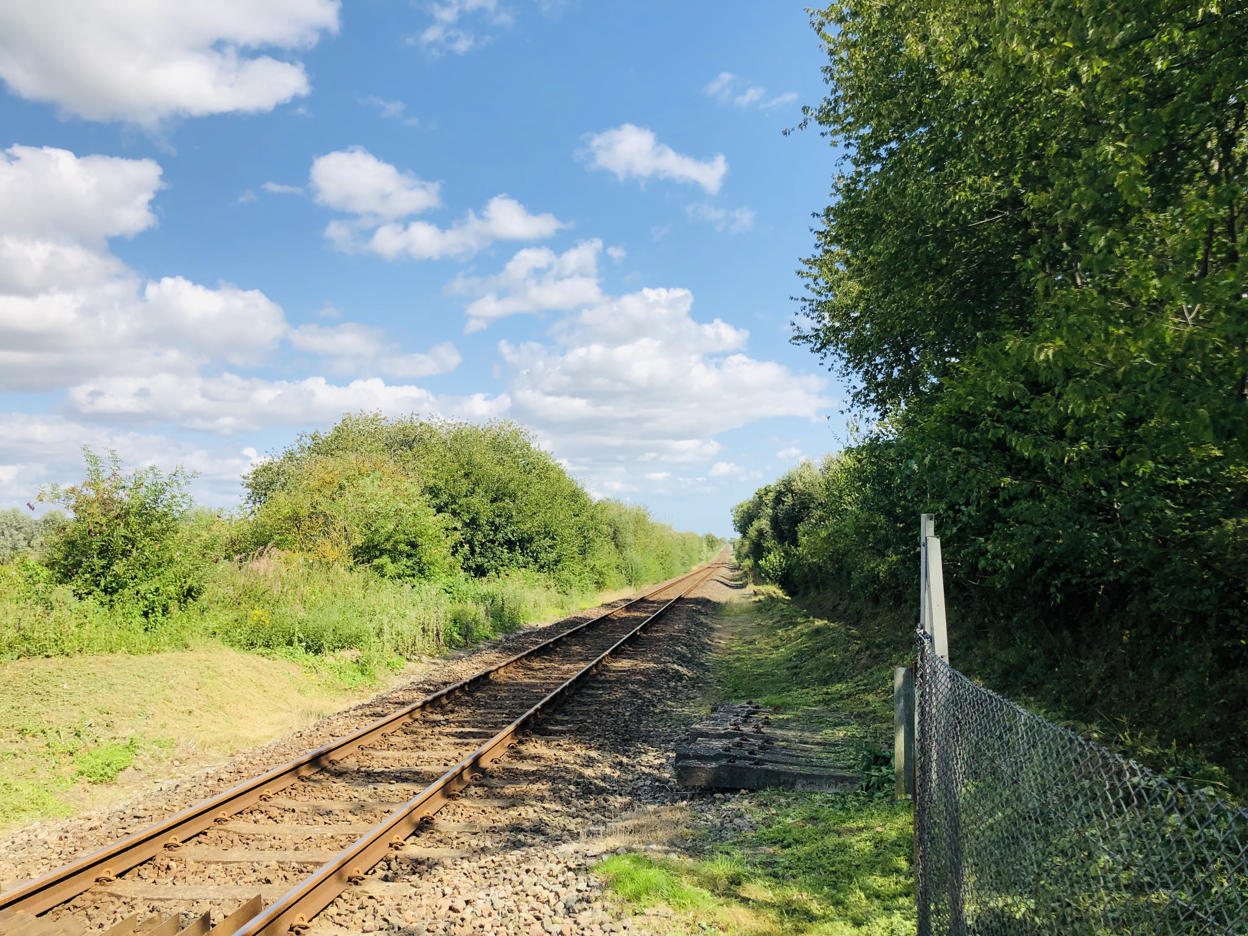
Ash Belt is a picturesque woodland area located in Sussex, England. Covering a vast expanse, it is renowned for its dense and thriving forest, making it a popular destination for nature enthusiasts and hikers alike. The belt is predominantly composed of ash trees, hence its name, which contribute to the area's unique and diverse ecosystem.
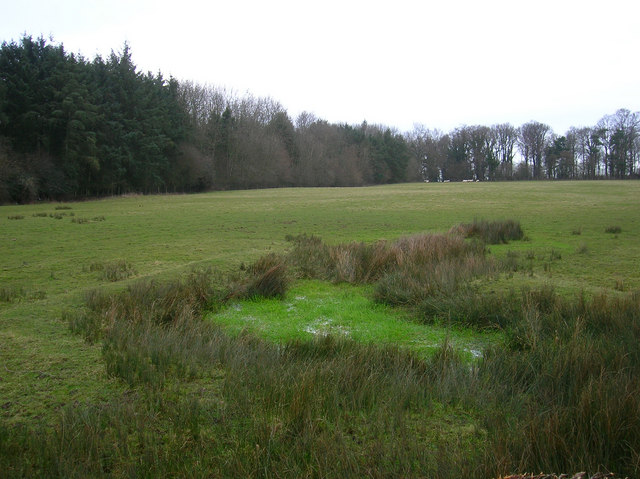
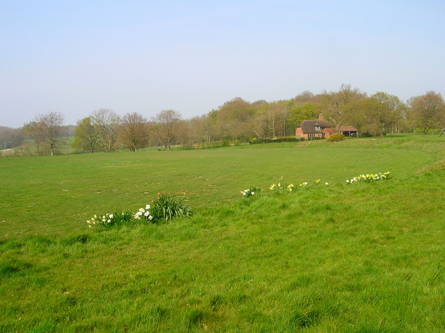
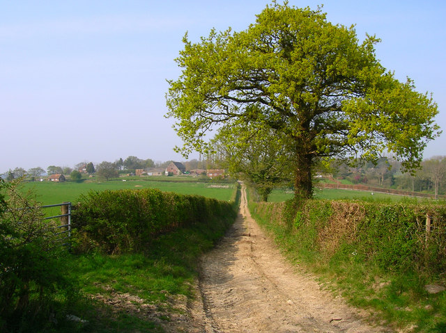
The woodland is characterized by its lush greenery and peaceful atmosphere, providing a tranquil escape from the hustle and bustle of city life. The forest floor is adorned with a rich carpet of moss, ferns, and wildflowers, further enhancing the natural beauty of the area. The Ash Belt is also home to a variety of wildlife, including deer, foxes, and an abundance of bird species, making it a haven for nature lovers and wildlife photographers.
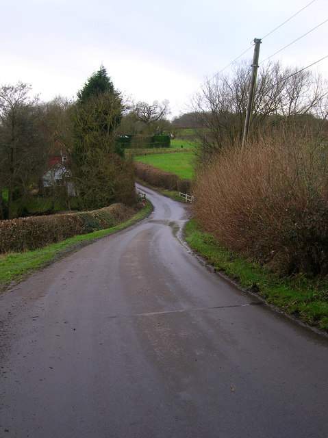
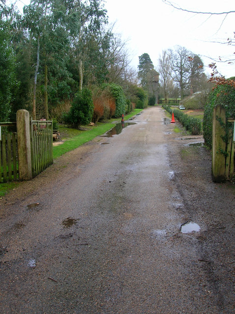
The woodland boasts a network of well-maintained trails and footpaths, allowing visitors to explore its enchanting scenery at their own pace. These trails lead to hidden gems such as secluded ponds and streams, providing opportunities for peaceful picnics or a refreshing dip during warmer months.
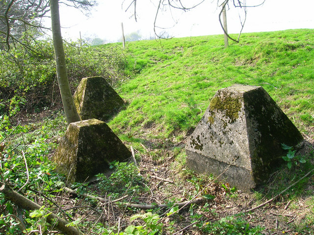
Moreover, the Ash Belt is not only a place of natural beauty, but it also holds historical significance. Ruins of ancient settlements and remnants of the Sussex iron industry can be found within its boundaries, offering a glimpse into the region's past.
Overall, Ash Belt in Sussex is a captivating woodland that offers a harmonious blend of natural beauty, wildlife, and historical charm. It is an idyllic destination for those seeking solace in nature or wishing to immerse themselves in the rich history of the area.
If you have any feedback on the listing, please let us know in the comments section below.
Ash Belt Images
Images are sourced within 2km of 50.952389/0.67110417 or Grid Reference TQ8720. Thanks to Geograph Open Source API. All images are credited.
Ash Belt is located at Grid Ref: TQ8720 (Lat: 50.952389, Lng: 0.67110417)
Administrative County: East Sussex
District: Rother
Police Authority: Sussex
What 3 Words
///silly.pirate.homeward. Near Rye, East Sussex
Nearby Locations
Related Wikis

Udimore
Udimore is a village and civil parish in the Rother district of East Sussex, England. It is located five miles (8 km) west of Rye on the B2089 road to...
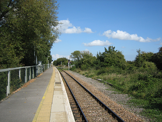
Winchelsea railway station
Winchelsea railway station is a railway station in East Sussex, England. It is about 0.62 miles (1 km) from Winchelsea and is actually in the neighbouring...

Leasam Heronry Wood
Leasam Heronry Wood is a 2.1-hectare (5.2-acre) biological Site of Special Scientific Interest north-west of Rye in East Sussex.This wood is not long established...
Peasmarsh
Peasmarsh is a village and civil parish in the Rother district, in the county of East Sussex in England. It is located on the A268 road between Rye and...

Rye Foreign
Rye Foreign is a small hamlet and civil parish in the Rother district of East Sussex, England. The hamlet is about 2 miles (or 3 km) north-west of Rye...

Flatropers Wood
Flatropers Wood is a 38-hectare (94-acre) nature reserve in Rye in East Sussex. It is managed by the Sussex Wildlife Trust.The wood is mainly oak and...
Snailham Halt railway station
Snailham Halt railway station was on the South Eastern Railway's route between Ashford and Hastings, nowadays known as the Marshlink Line. It opened in...

Icklesham
Icklesham is a village and civil parish in the Rother district of East Sussex, England. The village is located about six miles (10 km) east of Hastings...
Have you been to Ash Belt?
Leave your review of Ash Belt below (or comments, questions and feedback).