Fodderstone Gap
Settlement in Norfolk King's Lynn and West Norfolk
England
Fodderstone Gap

Fodderstone Gap is a small coastal village located on the north coast of Norfolk, England. Situated between the popular tourist destinations of Hunstanton and Brancaster, Fodderstone Gap offers visitors a more tranquil and secluded experience.
The village is nestled within an Area of Outstanding Natural Beauty, with its picturesque sandy beach stretching for miles. The beach is renowned for its stunning views, rolling dunes, and abundant wildlife, making it a haven for nature enthusiasts and birdwatchers.
Fodderstone Gap is also a popular spot for water sports activities such as windsurfing, kiteboarding, and sailing, thanks to its consistent winds and calm waters. The beach is well-maintained and has received the prestigious Blue Flag award for its cleanliness and excellent facilities.
The village itself is small but charming, with a handful of residential properties, holiday cottages, and a quaint café serving delicious local seafood. There are no major amenities or shops in Fodderstone Gap, but the nearby towns of Hunstanton and Brancaster offer a range of amenities, including supermarkets, restaurants, and shops.
For those seeking to explore the surrounding area, Fodderstone Gap serves as an ideal base to visit nearby attractions such as the Royal Sandringham Estate, Holkham Hall, and the Norfolk Coast Path, a renowned walking trail offering breathtaking coastal views.
Overall, Fodderstone Gap provides a serene and idyllic coastal retreat for visitors looking to escape the hustle and bustle of city life and immerse themselves in the natural beauty Norfolk has to offer.
If you have any feedback on the listing, please let us know in the comments section below.
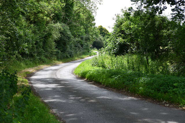
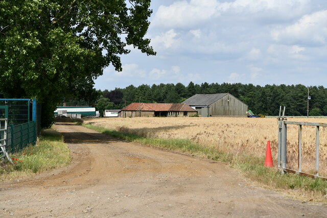
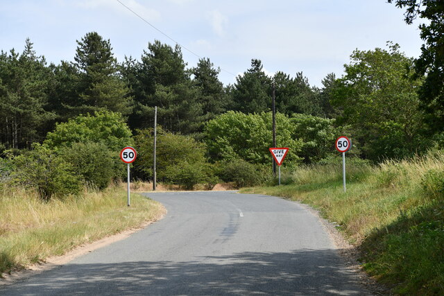
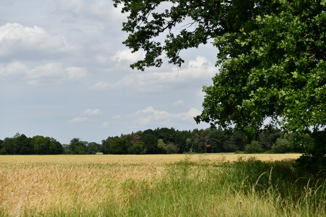
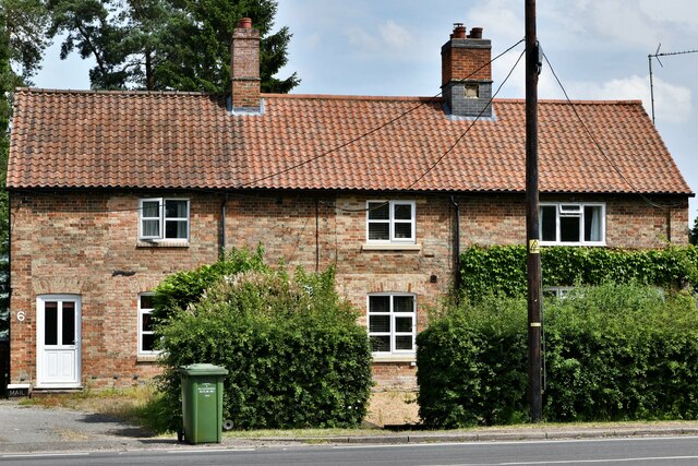
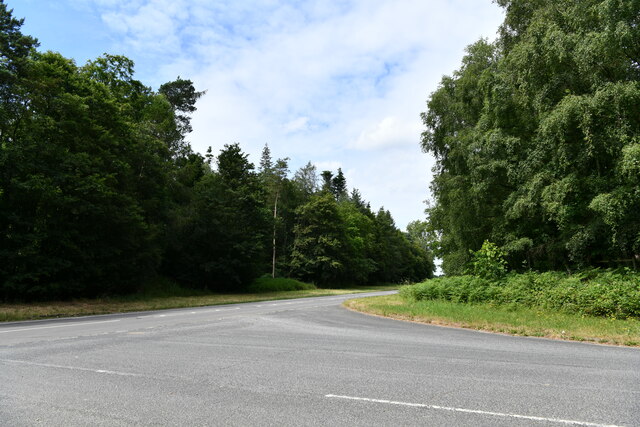
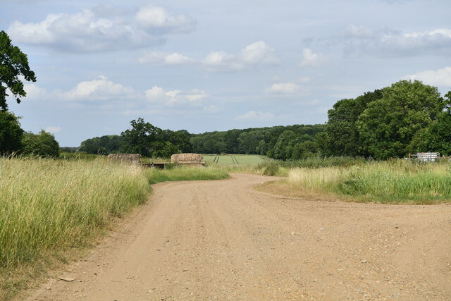
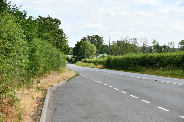
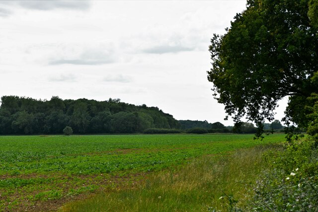
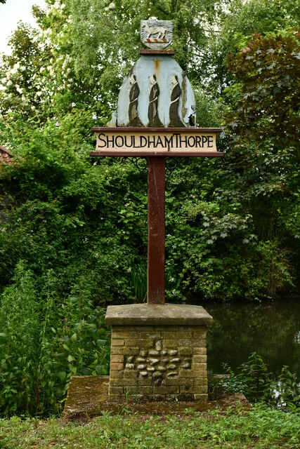
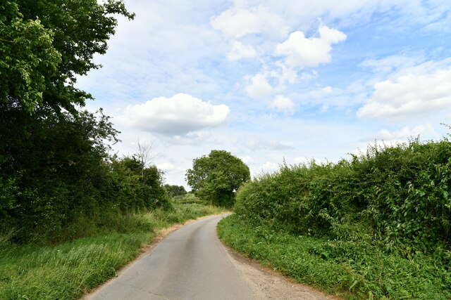
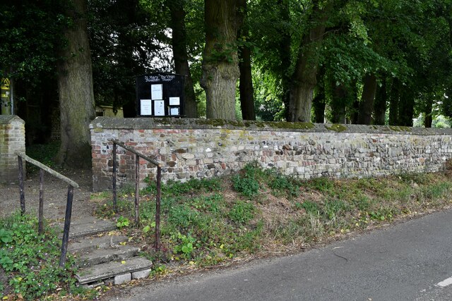
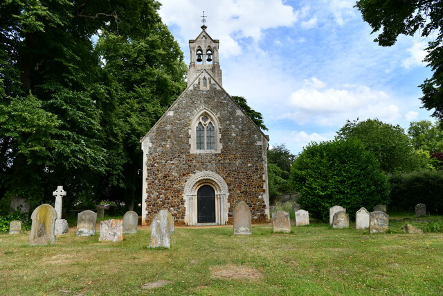
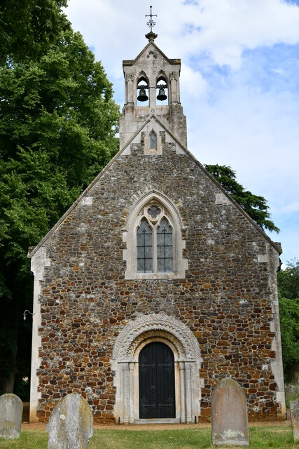
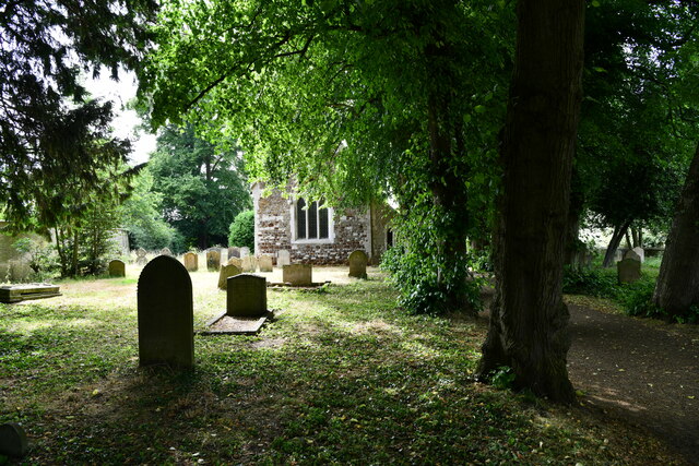
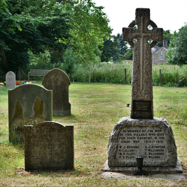
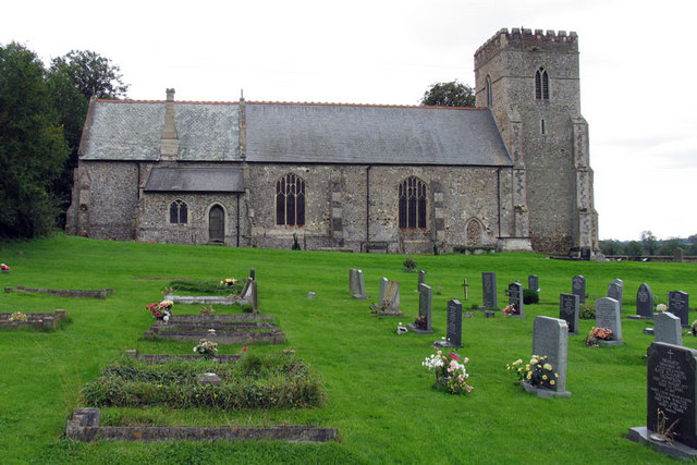
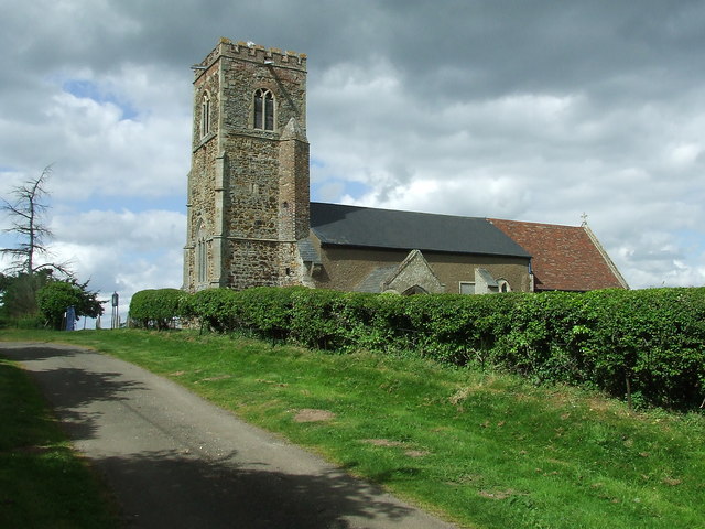
Fodderstone Gap Images
Images are sourced within 2km of 52.644646/0.43734772 or Grid Reference TF6508. Thanks to Geograph Open Source API. All images are credited.
Fodderstone Gap is located at Grid Ref: TF6508 (Lat: 52.644646, Lng: 0.43734772)
Administrative County: Norfolk
District: King's Lynn and West Norfolk
Police Authority: Norfolk
What 3 Words
///arrow.blush.crash. Near Downham Market, Norfolk
Nearby Locations
Related Wikis

Shouldham Thorpe
Shouldham Thorpe is a village and civil parish in the English county of Norfolk. It covers an area of 5.87 km2 (2.27 sq mi) and had a population of 157...
Shouldham
Shouldham is a village and civil parish in the English county of Norfolk. It covers an area of 16.04 km2 (6.19 sq mi) and had a population of 608 in 246...
Tottenhill
Tottenhill is a civil parish in the English county of Norfolk. It covers an area of 5.90 km2 (2.28 sq mi) and had a population of 231 in 97 households...

Stow Bardolph
Stow Bardolph, sometimes simply referred to as Stow, is an estate and civil parish in the English county of Norfolk, lying between King's Lynn and Downham...
Nearby Amenities
Located within 500m of 52.644646,0.43734772Have you been to Fodderstone Gap?
Leave your review of Fodderstone Gap below (or comments, questions and feedback).