Frithy Wood
Wood, Forest in Suffolk Babergh
England
Frithy Wood

The requested URL returned error: 429 Too Many Requests
If you have any feedback on the listing, please let us know in the comments section below.
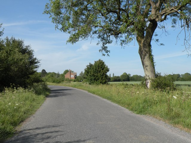
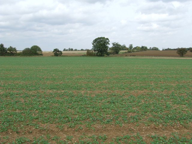
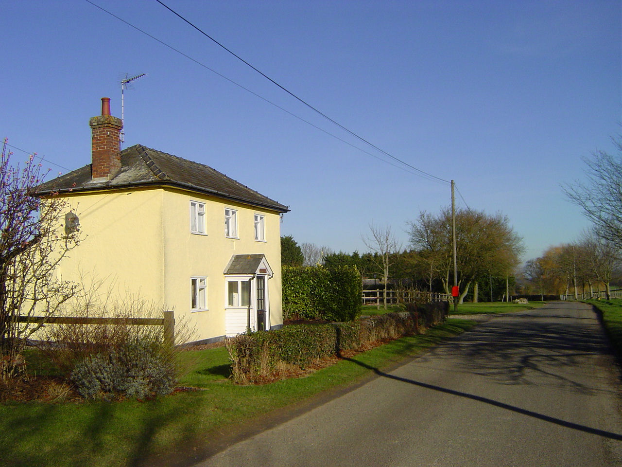
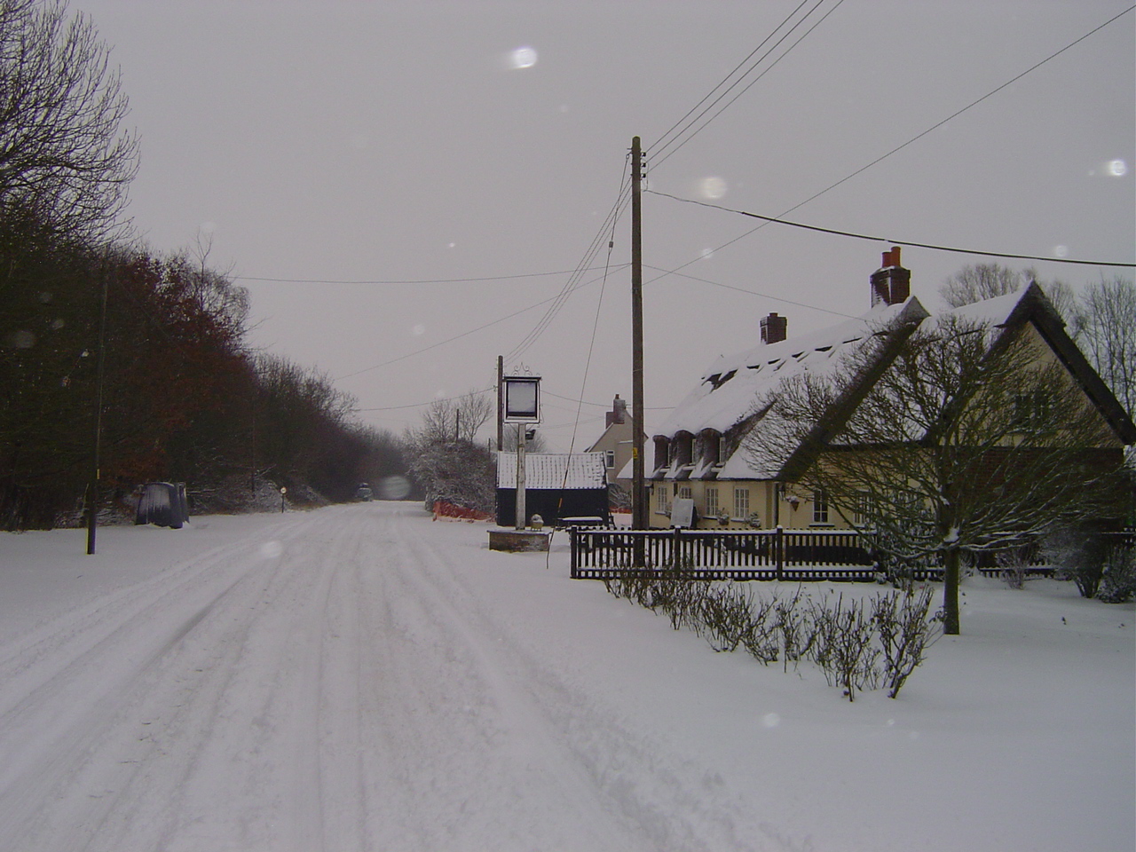
Frithy Wood Images
Images are sourced within 2km of 52.160019/0.72931313 or Grid Reference TL8654. Thanks to Geograph Open Source API. All images are credited.


Frithy Wood is located at Grid Ref: TL8654 (Lat: 52.160019, Lng: 0.72931313)
Administrative County: Suffolk
District: Babergh
Police Authority: Suffolk
What 3 Words
///noon.enigma.doubts. Near Lavenham, Suffolk
Nearby Locations
Related Wikis
Hart's Green
Hart's Green is a hamlet in the civil parish of Lawshall in the Babergh District in the county of Suffolk, England. It is located between Stanningfield...
The Street, Lawshall
The Street is a linear settlement in the civil parish of Lawshall in the Babergh district in the county of Suffolk, England. It extends from Lawshall Hall...

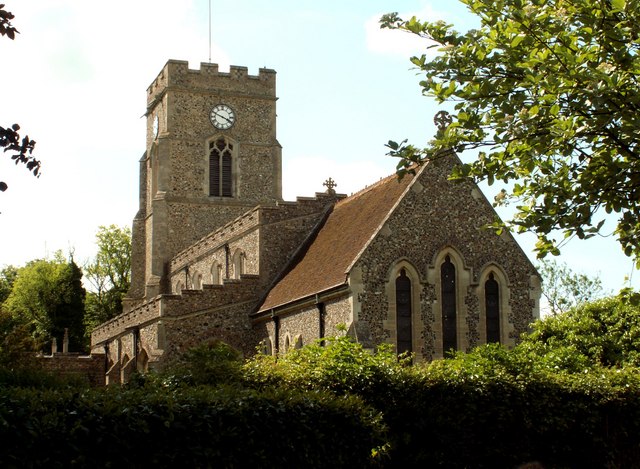
All Saints' Church, Lawshall
The Parish Church of All Saints' Lawshall, is an Anglican church in the village of Lawshall, Suffolk, England. It has been designated by English Heritage...
Lawshall
Lawshall is a village and civil parish in Suffolk, England. Located around a mile off the A134 between Bury St Edmunds and Sudbury, it is part of Babergh...
Nearby Amenities
Located within 500m of 52.160019,0.72931313Have you been to Frithy Wood?
Leave your review of Frithy Wood below (or comments, questions and feedback).