Geoff Kisby Spinney
Wood, Forest in Suffolk Babergh
England
Geoff Kisby Spinney

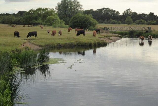
Geoff Kisby Spinney is a charming woodland located in Suffolk, England. This picturesque forest is nestled in the tranquil countryside, offering visitors a serene and peaceful retreat from the hustle and bustle of everyday life. Spanning over a vast area, Geoff Kisby Spinney is a haven for nature enthusiasts, hikers, and wildlife lovers.
The woodland is characterized by its dense canopy of trees, creating a cool and shaded environment even on the hottest summer days. Within the forest, visitors can explore a network of well-maintained trails that wind through the lush vegetation, providing an opportunity to immerse oneself in the breathtaking beauty of nature.
Geoff Kisby Spinney is home to a diverse range of flora and fauna. The forest floor is carpeted with an array of wildflowers, ferns, and mosses, adding a vibrant splash of color to the landscape. Birdwatchers will delight in the variety of avian species that inhabit the area, including woodpeckers, warblers, and owls. Lucky visitors may even catch a glimpse of the elusive deer that roam the forest.
In addition to its natural beauty, Geoff Kisby Spinney offers several amenities to enhance visitors' experience. Picnic areas are scattered throughout the woodland, providing the perfect spot to enjoy a leisurely lunch amidst the peaceful surroundings. Interpretive signs and information boards educate visitors about the local flora and fauna, enriching their understanding of the natural environment.
Geoff Kisby Spinney is a true hidden gem in Suffolk, inviting all who visit to bask in the tranquility and natural splendor of this enchanting woodland.
If you have any feedback on the listing, please let us know in the comments section below.
Geoff Kisby Spinney Images
Images are sourced within 2km of 52.047402/0.71870886 or Grid Reference TL8642. Thanks to Geograph Open Source API. All images are credited.


Geoff Kisby Spinney is located at Grid Ref: TL8642 (Lat: 52.047402, Lng: 0.71870886)
Administrative County: Suffolk
District: Babergh
Police Authority: Suffolk
What 3 Words
///readjust.relatives.waltzes. Near Sudbury, Suffolk
Nearby Locations
Related Wikis
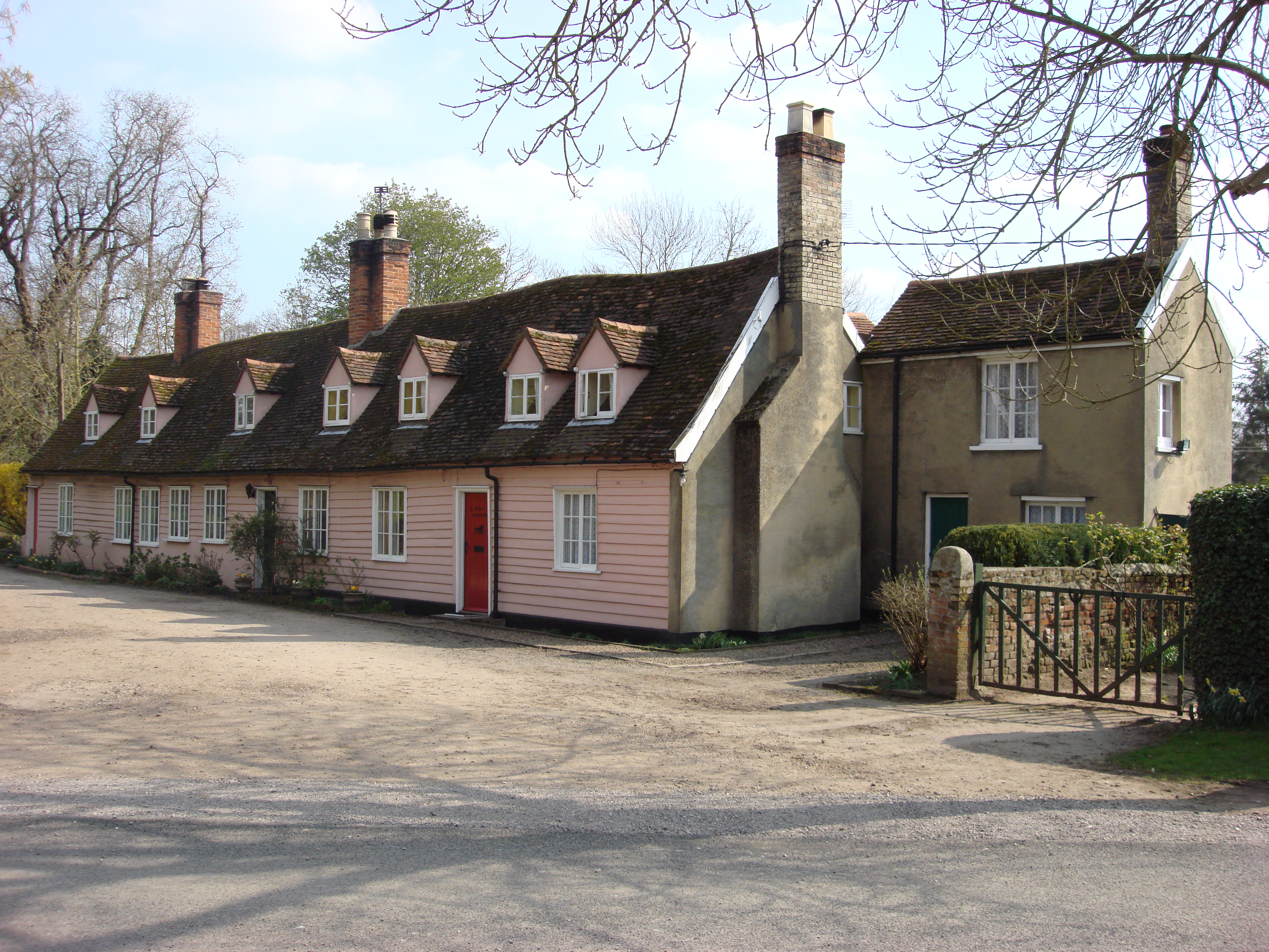
Brundon
Brundon is a hamlet in the Babergh district, in the English county of Suffolk. It is located on the River Stour near the town of Sudbury (its post town...

Sudbury Benedictine Priory
St Bartholemew's Benedictine Priory, Sudbury was a priory in Sudbury, Suffolk, England. The priory was established as a monastic grange for the Benedictine...

A.F.C. Sudbury
Amalgamated Football Club Sudbury is a football club based in Sudbury, Suffolk, England. The club was formed in 1999 by the merger of Sudbury Town and...

Sudbury Common Lands
Sudbury Common Lands is a 50.3 hectare Local Nature Reserve in Sudbury in Suffolk. It is owned and managed by the Sudbury Common Lands Charity.This site...

Sudbury, Suffolk
Sudbury (, locally ) is a market town in the south west of Suffolk, England, on the River Stour near the Essex border, 60 miles (97 km) north-east of London...
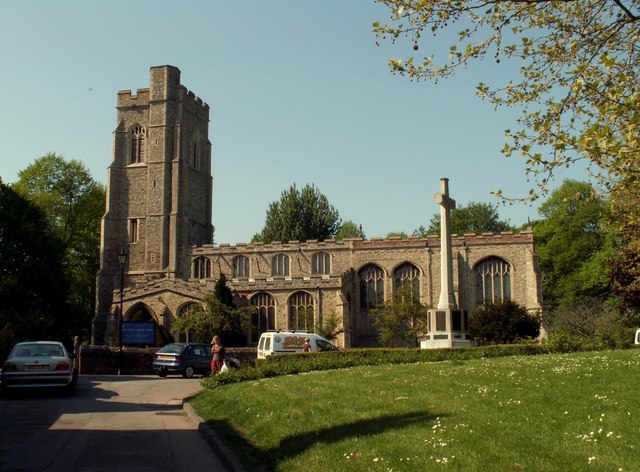
St Gregory's Church, Sudbury
The Church of St Gregory, Sudbury is a Church of England parish church, located in the town of Sudbury in Suffolk, England. First mentioned in the 10th...
Ormiston Sudbury Academy
Ormiston Sudbury Academy is an 11–18 secondary school in the town of Sudbury, Suffolk. The school was established in 1972 as Sudbury Upper School, following...

Gainsborough's House
Gainsborough's House is the birthplace of the leading English painter Thomas Gainsborough. It is now a museum and gallery, located at 46 Gainsborough Street...
Nearby Amenities
Located within 500m of 52.047402,0.71870886Have you been to Geoff Kisby Spinney?
Leave your review of Geoff Kisby Spinney below (or comments, questions and feedback).