Flitwick
Settlement in Bedfordshire
England
Flitwick
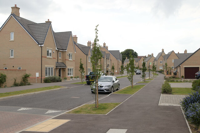
Flitwick is a small town located in the Central Bedfordshire district of Bedfordshire, England. Situated approximately 10 miles south of Bedford and 8 miles northwest of Luton, Flitwick is conveniently positioned for residents commuting to either of these larger towns or to London, which is around 40 miles away. The town lies on the A5120 road and is also served by a railway station, providing excellent transport links.
Flitwick has a population of around 12,000 people and offers a range of amenities and services to cater to the needs of its residents. The town center is home to a variety of shops, including supermarkets, independent retailers, and cafes, providing ample options for everyday needs and leisure activities. Additionally, there are several pubs and restaurants, offering a diverse range of cuisines.
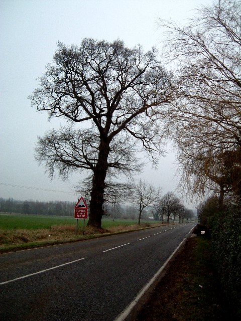
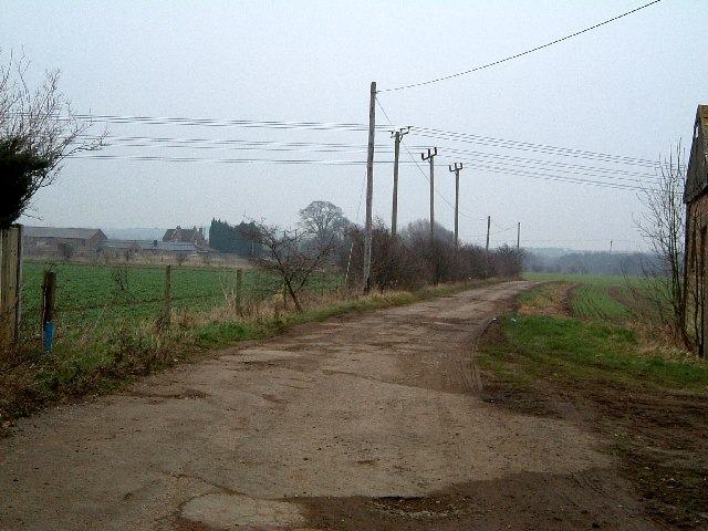
Nature enthusiasts can explore the surrounding countryside, as Flitwick is located near the expansive Flitwick Moor Nature Reserve, a Site of Special Scientific Interest (SSSI). The reserve offers beautiful walking trails, birdwatching opportunities, and a chance to observe a rich array of plant and animal species.
Flitwick is also known for its strong sense of community, with various local groups and organizations actively involved in organizing events and activities. The town hosts an annual summer carnival, attracting visitors from neighboring areas.
Overall, Flitwick offers a comfortable and friendly environment, combining the convenience of urban amenities with the beauty of the countryside, making it an attractive place to live or visit.
If you have any feedback on the listing, please let us know in the comments section below.
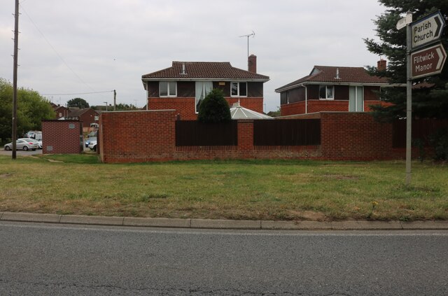
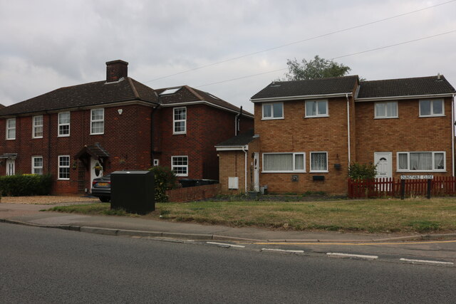
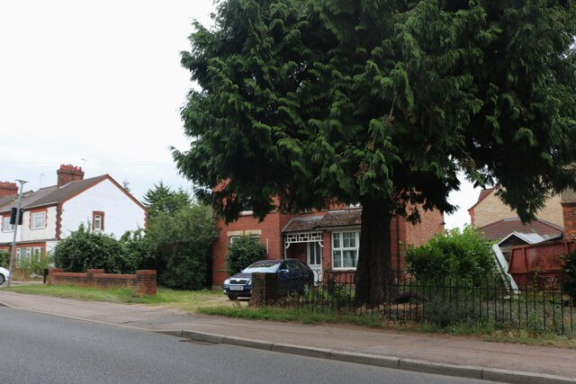
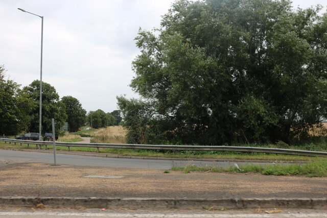
Flitwick Images
Images are sourced within 2km of 52.003094/-0.495201 or Grid Reference TL0334. Thanks to Geograph Open Source API. All images are credited.


Flitwick is located at Grid Ref: TL0334 (Lat: 52.003094, Lng: -0.495201)
Unitary Authority: Central Bedfordshire
Police Authority: Bedfordshire
What 3 Words
///arrives.leaky.gangs. Near Flitwick, Bedfordshire
Nearby Locations
Related Wikis
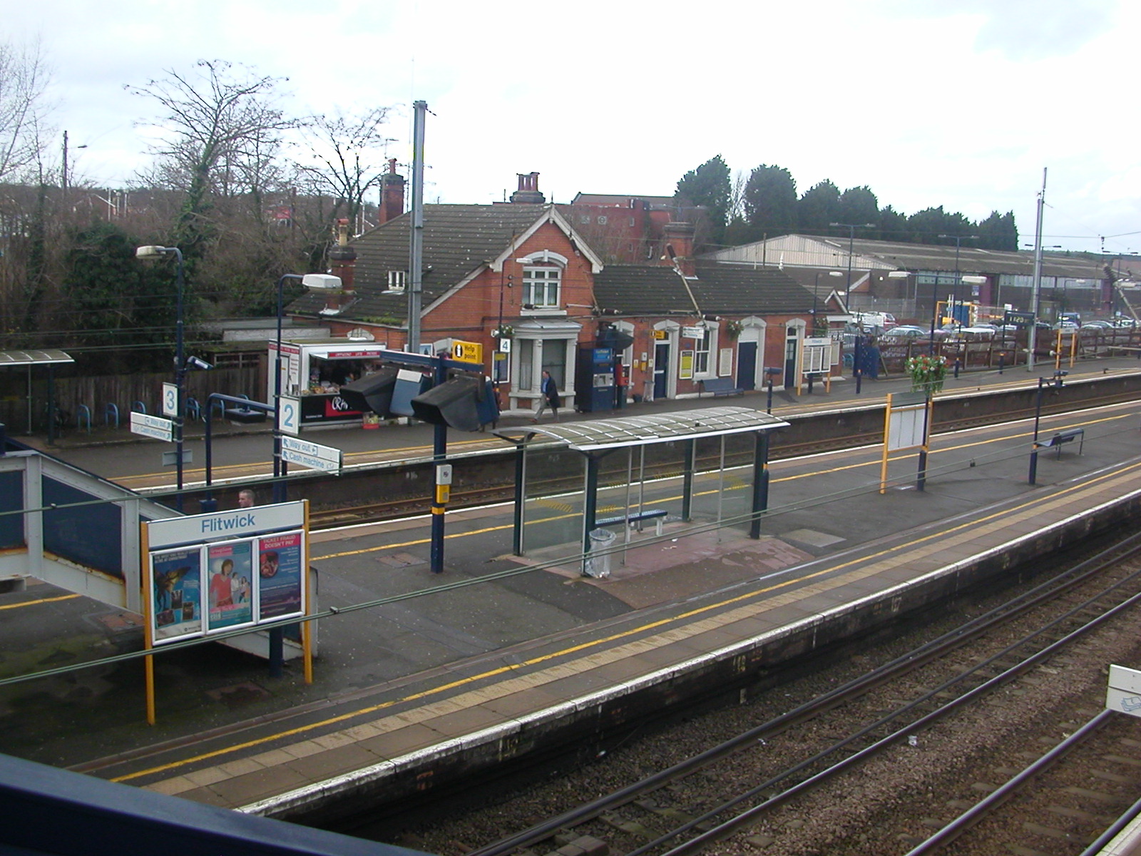
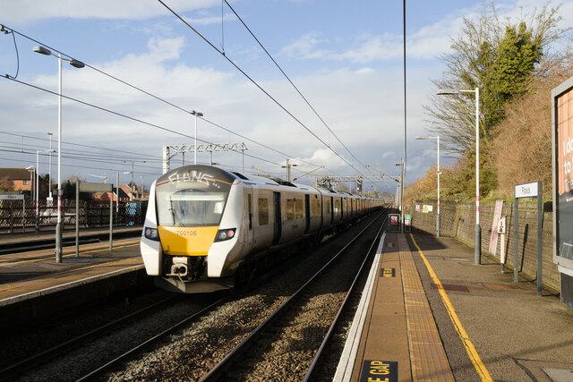
Flitwick railway station
Flitwick railway station is in the centre of Flitwick, in Bedfordshire, England. The station is situated on the Midland Main Line. The station is managed...
Flitwick
Flitwick ( ) is a town and civil parish in Bedfordshire, England. It is mentioned in the Domesday Book of 1086 as "a hamlet on the River Flitt". The spelling...
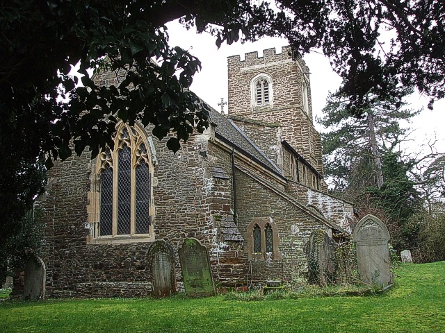
Church of St Peter & St Paul, Flitwick
The Church of St Peter & St Paul is the Church of England parish church in Flitwick, Bedfordshire, England. It became a Grade I listed building on 23 January...

Flitwick Manor
Flitwick Manor is a Georgian country house in the south of Flitwick, Bedfordshire, England. It is located on Church Road off the A5120 road. Now operating...

Flitwick Castle
Flitwick Castle was an 11th-century castle located in the town of Flitwick, in the county of Bedfordshire, England. It was a small, timber Motte-and-bailey...

Flitwick Wood
Flitwick Wood is a 14.2 hectares (35 acres) Local Nature Reserve in Flitwick in Bedfordshire. It is owned and managed by Central Bedfordshire Council.The...
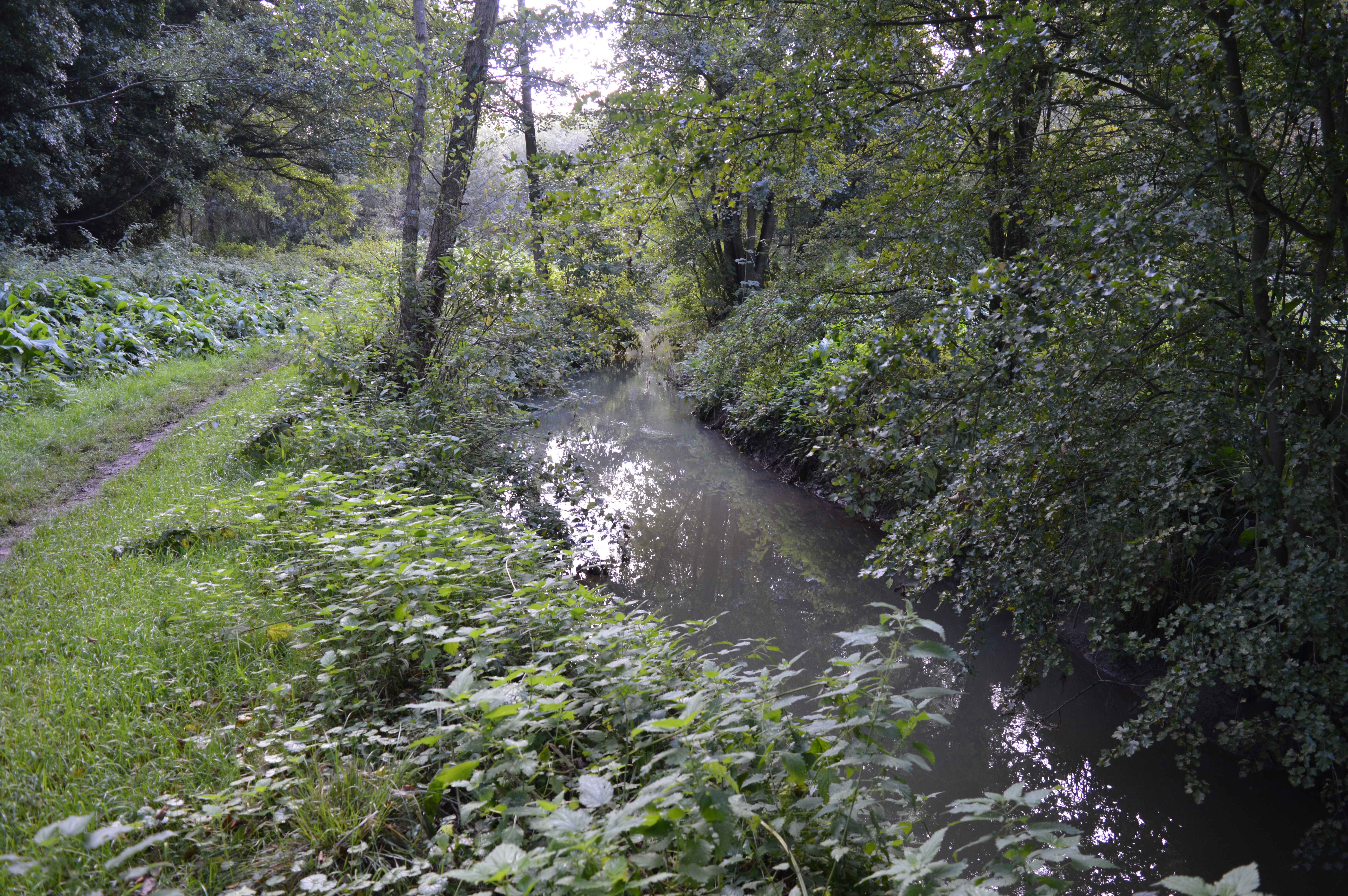
Flitwick Moor
Flitwick Moor is a 59.8-hectare (148-acre) biological Site of Special Scientific Interest between Flitwick and Greenfield in Bedfordshire. It was notified...

Flitton and Greenfield
Flitton and Greenfield is a civil parish in Bedfordshire, England. It consists of Flitton and Greenfield. Flitton and Greenfield are two small hamlets...
Nearby Amenities
Located within 500m of 52.003094,-0.495201Have you been to Flitwick?
Leave your review of Flitwick below (or comments, questions and feedback).