Bog Grove
Wood, Forest in Essex Maldon
England
Bog Grove

Bog Grove, located in Essex, England, is a wood and forest area renowned for its natural beauty and diverse wildlife. Covering an expansive area of approximately 1,500 acres, it is one of the largest remaining ancient woodlands in Essex, providing a haven for both flora and fauna.
The woodland consists of a variety of tree species, including oak, ash, birch, and willow, creating a rich and vibrant ecosystem. The tree canopy provides shelter and nesting sites for numerous bird species, such as the great spotted woodpecker, tawny owl, and chiffchaff. Additionally, the forest floor is adorned with an array of wildflowers, including bluebells, wood anemones, and primroses, adding splashes of color throughout the seasons.
Bog Grove is intersected by several streams and ponds, contributing to its unique wetland habitat. These aquatic features support a diverse range of wildlife, including dragonflies, damselflies, and frogs. The wetland environment also attracts a variety of bird species, such as mallards, moorhens, and herons.
The woodland is a popular destination for nature enthusiasts, walkers, and cyclists, offering a network of well-maintained trails and paths. These paths meander through the forest, allowing visitors to explore its serene beauty and discover the hidden treasures within. Along the way, visitors may encounter ancient trees, fallen logs, and moss-covered rocks, creating a picturesque and tranquil atmosphere.
Bog Grove is not only a haven for wildlife and nature lovers but also plays a vital role in preserving the natural heritage of Essex. Its diverse ecosystem and captivating beauty make it a destination worth exploring and cherishing.
If you have any feedback on the listing, please let us know in the comments section below.
Bog Grove Images
Images are sourced within 2km of 51.767591/0.69349258 or Grid Reference TL8511. Thanks to Geograph Open Source API. All images are credited.


Bog Grove is located at Grid Ref: TL8511 (Lat: 51.767591, Lng: 0.69349258)
Administrative County: Essex
District: Maldon
Police Authority: Essex
What 3 Words
///headers.regress.kennels. Near Wickham Bishops, Essex
Nearby Locations
Related Wikis
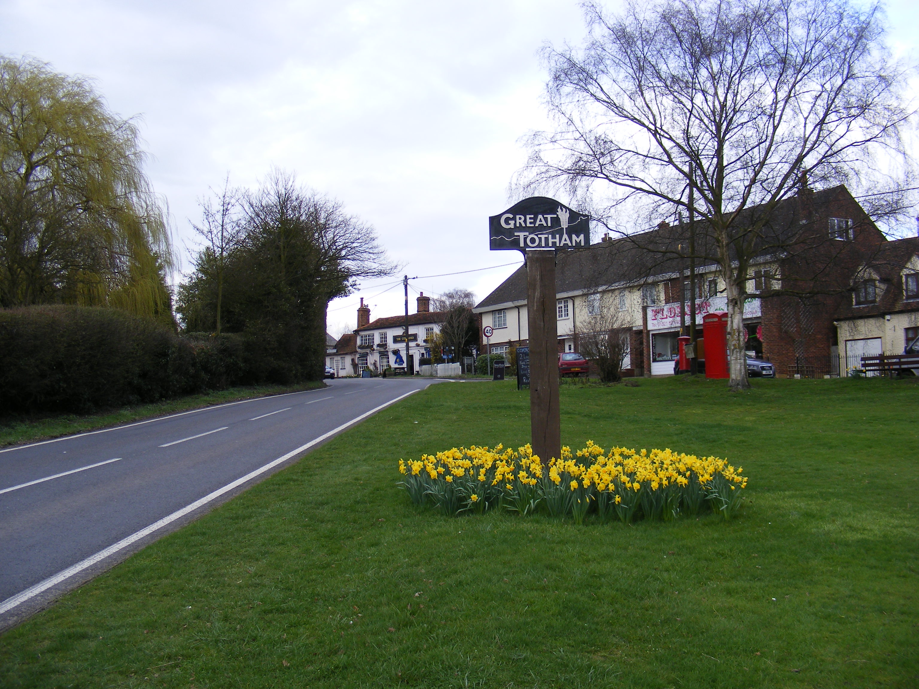
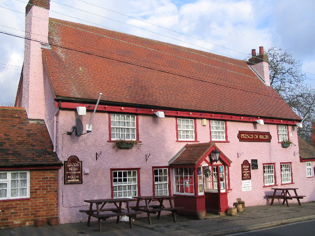
Great Totham
Great Totham is a village and civil parish in Maldon district, Essex, England, and midway between Chelmsford and Colchester. The village includes the Island...
Lofts Farm Pit
Lofts Farm Pit is a 4.5-hectare (11-acre) geological Site of Special Scientific Interest in Heybridge, a suburb of Maldon in Essex. It is a Geological...
Wickham Bishops
Wickham Bishops is a village and civil parish in the Maldon district of Essex, England. It is located around three miles north of the town of Maldon and...

Shut Heath Wood
Shut Heath Wood is a 20.2-hectare (50-acre) nature reserve Essex. It is managed by the Essex Wildlife Trust.Over half this site is managed as farmland...

Dunmow Town F.C.
Dunmow Town Football Club is a football club based in Great Dunmow, England. They are currently members of the Eastern Counties League Division One South...
Heybridge Swifts F.C.
Heybridge Swifts Football Club is a football club based in Heybridge, near Maldon, Essex, England. They are currently members of the Isthmian League North...
Langford and Ulting railway station
Langford and Ulting railway station served the village of Langford, Essex. It was opened in 1848 by the Maldon, Witham & Braintree Railway (MWBR) on a...

River Blackwater, Essex
The River Blackwater is a river in Essex, England. It rises as the River Pant in the northwest of the county, just east of Saffron Walden, and flows in...
Nearby Amenities
Located within 500m of 51.767591,0.69349258Have you been to Bog Grove?
Leave your review of Bog Grove below (or comments, questions and feedback).