Ash Plantation
Wood, Forest in Essex Maldon
England
Ash Plantation

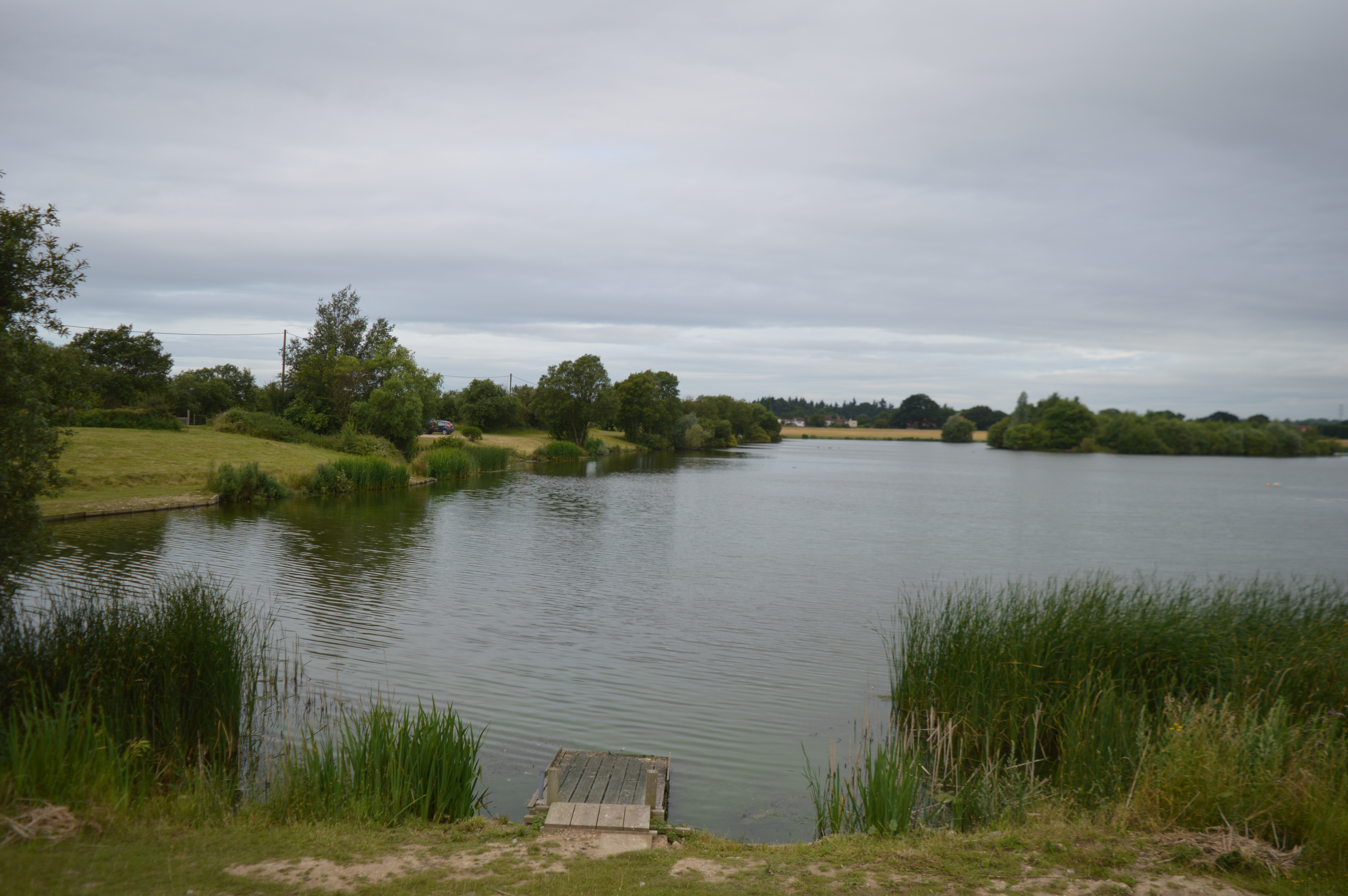
Ash Plantation is a woodland area located in the picturesque county of Essex, England. Situated near the village of Ashdon, this plantation covers a vast expanse of approximately 100 acres, offering visitors a serene and natural escape from the bustling city life.
The plantation predominantly consists of ash trees, which give it its distinctive name. These trees have grown to impressive heights, with some reaching up to 30 meters, creating a dense canopy that provides shade and shelters a variety of wildlife. The overall landscape is a mix of rolling hills, open glades, and winding pathways, making it an ideal spot for leisurely walks and exploration.
Aside from the ash trees, the woodland is teeming with diverse flora and fauna. Bluebells, primroses, and wild garlic carpet the forest floor during the spring months, creating a vibrant and colorful spectacle. Wildlife enthusiasts will be delighted to spot an array of bird species, including woodpeckers, tits, and owls, as well as small mammals like rabbits, squirrels, and hedgehogs.
Ash Plantation is a popular destination for nature lovers, hikers, and photographers alike. The well-maintained trails and picnic areas provide ample opportunities for visitors to relax and enjoy the peaceful surroundings. Additionally, the plantation is also home to a few historical ruins, adding a touch of intrigue to the area.
Whether you're seeking a tranquil retreat or a chance to immerse yourself in nature, Ash Plantation in Essex offers a serene and captivating experience for all who visit.
If you have any feedback on the listing, please let us know in the comments section below.
Ash Plantation Images
Images are sourced within 2km of 51.769342/0.69010342 or Grid Reference TL8511. Thanks to Geograph Open Source API. All images are credited.


Ash Plantation is located at Grid Ref: TL8511 (Lat: 51.769342, Lng: 0.69010342)
Administrative County: Essex
District: Maldon
Police Authority: Essex
What 3 Words
///steepest.washing.annoys. Near Wickham Bishops, Essex
Nearby Locations
Related Wikis
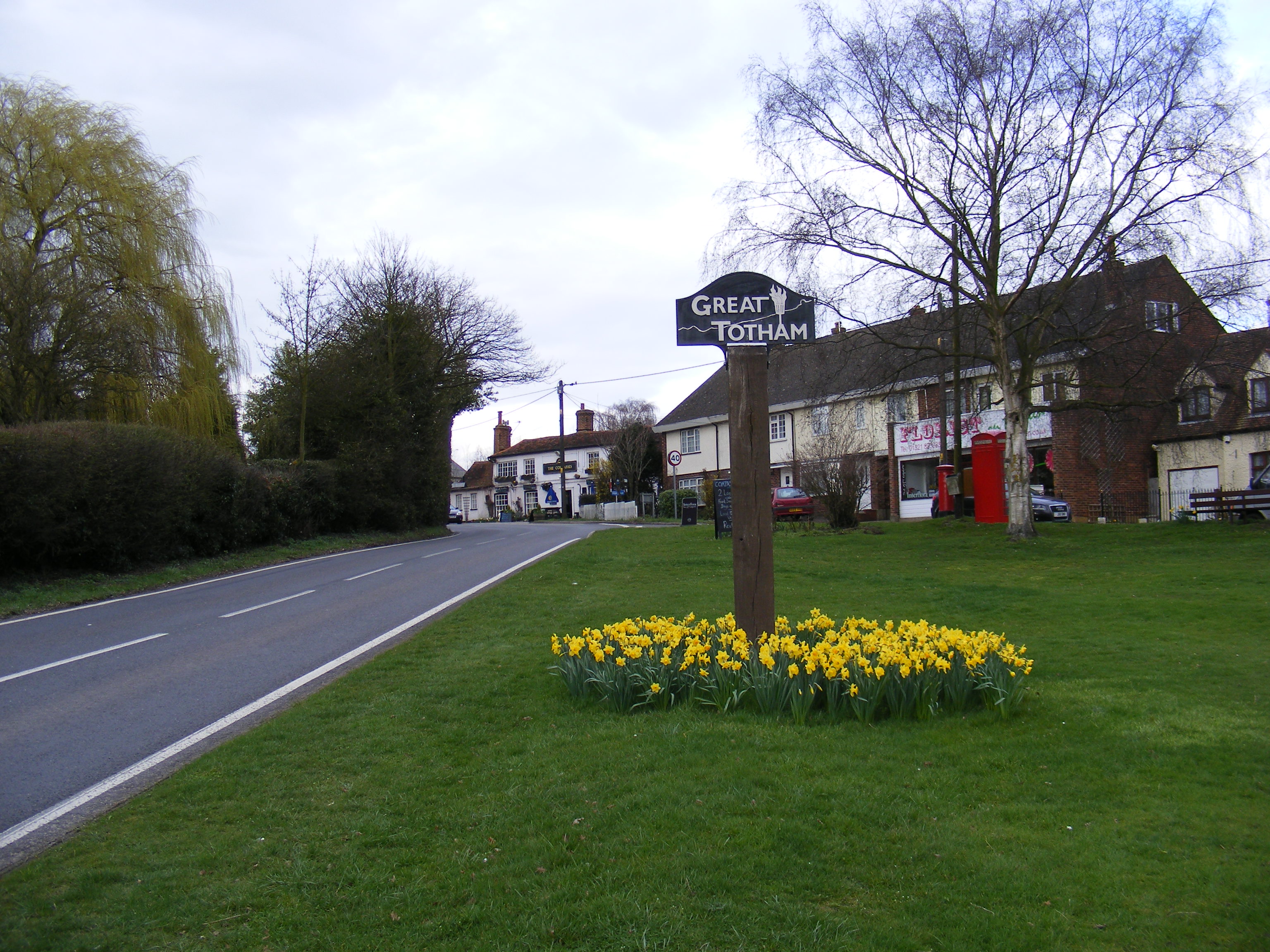
Great Totham
Great Totham is a village and civil parish in Maldon district, Essex, England, and midway between Chelmsford and Colchester. The village includes the Island...
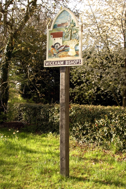
Wickham Bishops
Wickham Bishops is a village and civil parish in the Maldon district of Essex, England. It is located around three miles north of the town of Maldon and...

Shut Heath Wood
Shut Heath Wood is a 20.2-hectare (50-acre) nature reserve Essex. It is managed by the Essex Wildlife Trust. Over half this site is managed as farmland...
Lofts Farm Pit
Lofts Farm Pit is a 4.5-hectare (11-acre) geological Site of Special Scientific Interest in Heybridge, a suburb of Maldon in Essex. It is a Geological...
Nearby Amenities
Located within 500m of 51.769342,0.69010342Have you been to Ash Plantation?
Leave your review of Ash Plantation below (or comments, questions and feedback).