Kiln Grove

Wood, Forest in Suffolk Babergh

England

Kiln Grove

Church of All Saints, Lawshall A largely fifteenth century church <span class="nowrap"><a title="https://historicengland.org.uk/listing/the-list/list-entry/1036594" rel="nofollow ugc noopener" href="https://historicengland.org.uk/listing/the-list/list-entry/1036594">Link</a><img style="margin-left:2px;" alt="External link" title="External link - shift click to open in new window" src="https://s1.geograph.org.uk/img/external.png" width="10" height="10"/></span>
Church of All Saints, Lawshall Credit: Jonathan Thacker

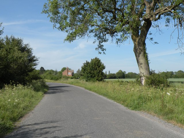
Kiln Grove is a charming woodland area located in Suffolk, England. Nestled within a dense forest, this idyllic countryside location offers a tranquil retreat for nature enthusiasts and those seeking a peaceful escape from urban life.

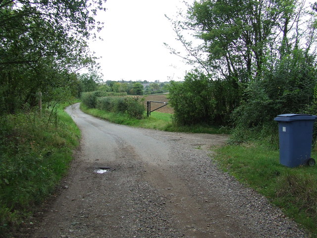
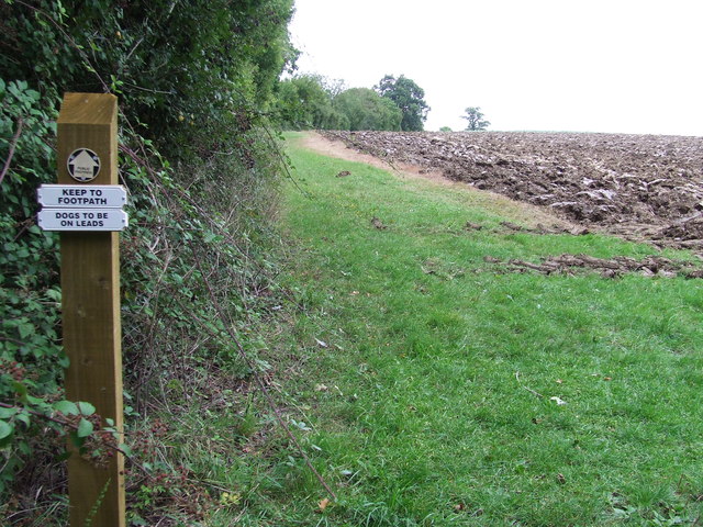
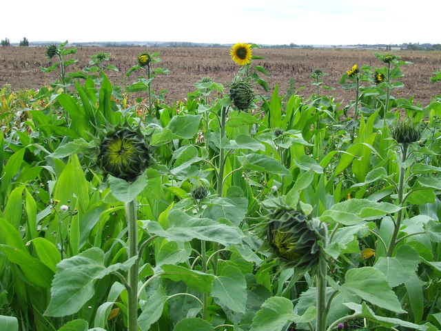
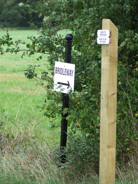
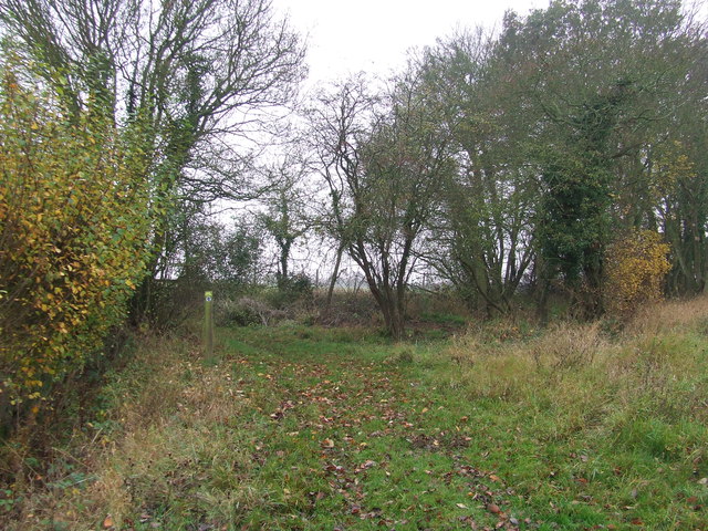
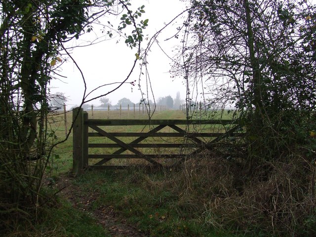
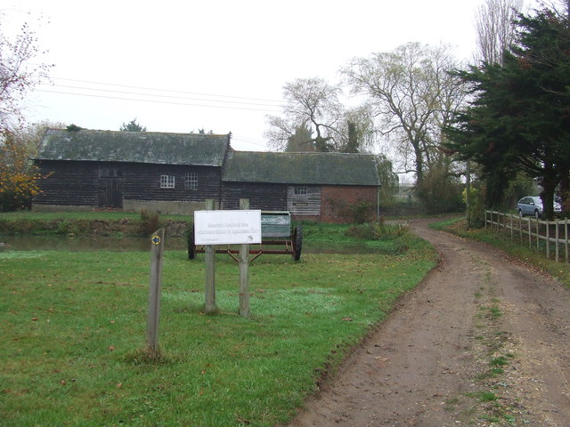
The main feature of Kiln Grove is its vast expanse of woodlands, which are teeming with a variety of tree species including oak, beech, and birch. The area is home to an array of wildlife, making it a haven for birdwatchers, hikers, and nature lovers. Visitors can explore the numerous walking trails, immersing themselves in the serene beauty of the forest while listening to the melodious chirping of birds and the rustling of leaves underfoot.

The landscape of Kiln Grove is characterized by rolling hills, meadows, and several picturesque ponds. These natural water features provide habitats for various aquatic creatures and add to the overall charm of the area. The tranquil atmosphere and beautiful scenery make Kiln Grove a popular spot for photography, allowing visitors to capture the perfect shots of the stunning English countryside.

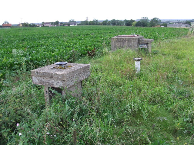
In addition to its natural beauty, Kiln Grove also boasts a rich history. The area was once home to a kiln, a type of oven used for drying timber. Evidence of this historical industry can still be found today in the form of old brick structures and remnants of the kiln.

Overall, Kiln Grove offers a perfect balance of natural beauty, tranquility, and historical significance, making it an ideal destination for those seeking a peaceful retreat in the heart of Suffolk's woodlands.

If you have any feedback on the listing, please let us know in the comments section below.
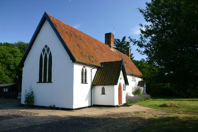
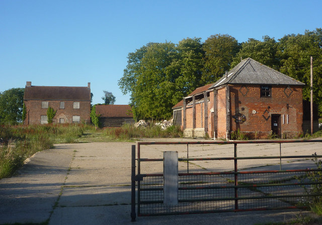
Kiln Grove Images

Images are sourced within 2km of 52.13838/0.71499652 or Grid Reference TL8552. Thanks to Geograph Open Source API. All images are credited.

Church of All Saints, Lawshall A largely fifteenth century church <span class="nowrap"><a title="https://historicengland.org.uk/listing/the-list/list-entry/1036594" rel="nofollow ugc noopener" href="https://historicengland.org.uk/listing/the-list/list-entry/1036594">Link</a><img style="margin-left:2px;" alt="External link" title="External link - shift click to open in new window" src="https://s1.geograph.org.uk/img/external.png" width="10" height="10"/></span>
Church of All Saints, Lawshall
A largely fifteenth century church LinkExternal link
Shimpling Road, heading towards Lawshall
Footpath to Shimpling Street from Shimpling Road
Part of Shimpling Road in Lawshall
The village sign at Lawshall
Footpath To Chadacre Park Footpath looking east between Hartest Hill and Chadacre Park near to Hartest, Suffolk
Footpath To Chadacre Park
Footpath looking east between Hartest Hill and Chadacre Park near to Hartest, Suffolk
Nuclear Monitoring Post Surface parts of a now unused Royal Observer Corps nuclear monitoring post near to Hartest, Suffolk see <span class="nowrap"><a title="http://www.subbrit.org.uk/rsg/roc/db/988807445.019002.html" rel="nofollow ugc noopener" href="http://www.subbrit.org.uk/rsg/roc/db/988807445.019002.html">Link</a><img style="margin-left:2px;" alt="External link" title="External link - shift click to open in new window" src="https://s1.geograph.org.uk/img/external.png" width="10" height="10"/></span> and <span class="nowrap"><a title="http://en.wikipedia.org/wiki/Royal_Observer_Corps_Monitoring_Post" rel="nofollow ugc noopener" href="http://en.wikipedia.org/wiki/Royal_Observer_Corps_Monitoring_Post">Link</a><img style="margin-left:2px;" alt="External link" title="External link - shift click to open in new window" src="https://s1.geograph.org.uk/img/external.png" width="10" height="10"/></span> for more info.
Nuclear Monitoring Post
Surface parts of a now unused Royal Observer Corps nuclear monitoring post near to Hartest, Suffolk see LinkExternal link and LinkExternal link for more info.
Barns Barns at Lord's Farm near to Hartest, Suffolk.
Barns
Barns at Lord's Farm near to Hartest, Suffolk.
Start Of Public Road Start of the public road near to Hartest, Suffolk.
Start Of Public Road
Start of the public road near to Hartest, Suffolk.
Keep To Footpath Local signs added to public footpath sign near to Hartest, Suffolk.
Keep To Footpath
Local signs added to public footpath sign near to Hartest, Suffolk.
Sunflowers Sunflowers near to Hartest, Suffolk.
Sunflowers
Sunflowers near to Hartest, Suffolk.
Local signs Local sign plus a public footpath sign near to Hartest, Suffolk.
Local signs
Local sign plus a public footpath sign near to Hartest, Suffolk.
Footpath Footpath near to Shimpling, Suffolk.
Footpath
Footpath near to Shimpling, Suffolk.
5 Bar Gate 5 Bar gate near to Shimpling, Suffolk.
5 Bar Gate
5 Bar gate near to Shimpling, Suffolk.
Mount Farm Mount Farm near to Shimpling, Suffolk.
Mount Farm
Mount Farm near to Shimpling, Suffolk.
Top Of A Trig Point The top of a trig point near to Hartest, Suffolk.
Top Of A Trig Point
The top of a trig point near to Hartest, Suffolk.
Trig Point Trig point near to Hartest, Suffolk.
Trig Point
Trig point near to Hartest, Suffolk.
View From A Trig Point Trig point near to Hartest, Suffolk.
View From A Trig Point
Trig point near to Hartest, Suffolk.
Show me another place!

Kiln Grove is located at Grid Ref: TL8552 (Lat: 52.13838, Lng: 0.71499652)

Administrative County: Suffolk

District: Babergh

Police Authority: Suffolk

What 3 Words

///classics.hairspray.skews. Near Glemsford, Suffolk

Related Wikis

Shimpling

Shimpling is a village and civil parish in south Suffolk, England. About 7 miles (11 km) from Bury St Edmunds, it is part of Babergh district. The village...

Audley End, Suffolk

Audley End is a hamlet in the civil parish of Lawshall in the Babergh district in the county of Suffolk, England. It is located between Lambs Lane and...

Hibb's Green

Hibb's Green is a hamlet in the civil parish of Lawshall in the Babergh district in the county of Suffolk, England. It is located between Hanningfield...

Frithy and Chadacre Woods

Frithy and Chadacre Woods is a 28.7-hectare (71-acre) biological Site of Special Scientific Interest (SSSI) in the parishes of Lawshall and Shimpling in...

Hanningfield Green

Hanningfield Green, sometimes referred to as Hanningfields Green, is a hamlet in the civil parish of Lawshall in the Babergh district in the county of...

Bury Road, Lawshall

Bury Road, Lawshall is a linear settlement in the civil parish of Lawshall in the Babergh district in the county of Suffolk, England. The northern part...

Lawshall Hall

Lawshall Hall is a Grade II* listed building, re-built in 1557, that is located in the parish of Lawshall in Suffolk. The Hall is adjacent to All Saints...

All Saints' Church, Lawshall

The Parish Church of All Saints' Lawshall, is an Anglican church in the village of Lawshall, Suffolk, England. It has been designated by English Heritage...

Nearby Amenities

Located within 500m of 52.13838,0.71499652
Give Way
Lat/Long: 52.1365585/0.7128453
Power: pole
Source: Bing
Lat/Long: 52.1367628/0.7129902
Power: pole
Source: Bing
Lat/Long: 52.1345483/0.7157104
Power: pole
Source: Bing
Lat/Long: 52.135386/0.7156372
Power: pole
Source: Bing
Lat/Long: 52.1362156/0.7155651
Power: pole
Source: Bing
Lat/Long: 52.1363607/0.7148995
Power: pole
Source: Bing
Lat/Long: 52.1364952/0.7142634
Power: pole
Source: Bing
Lat/Long: 52.136635/0.7136217
Passing Place
Lat/Long: 52.1371815/0.7110232
The data included in this document is from www.openstreetmap.org. The data is made available under ODbL.

Have you been to Kiln Grove?

Leave your review of Kiln Grove below (or comments, questions and feedback).