Bushy Plantation

Wood, Forest in Suffolk Babergh

England

Bushy Plantation

Church of All Saints, Lawshall A largely fifteenth century church <span class="nowrap"><a title="https://historicengland.org.uk/listing/the-list/list-entry/1036594" rel="nofollow ugc noopener" href="https://historicengland.org.uk/listing/the-list/list-entry/1036594">Link</a><img style="margin-left:2px;" alt="External link" title="External link - shift click to open in new window" src="https://s1.geograph.org.uk/img/external.png" width="10" height="10"/></span>
Church of All Saints, Lawshall Credit: Jonathan Thacker

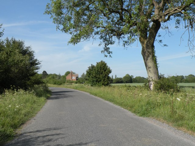
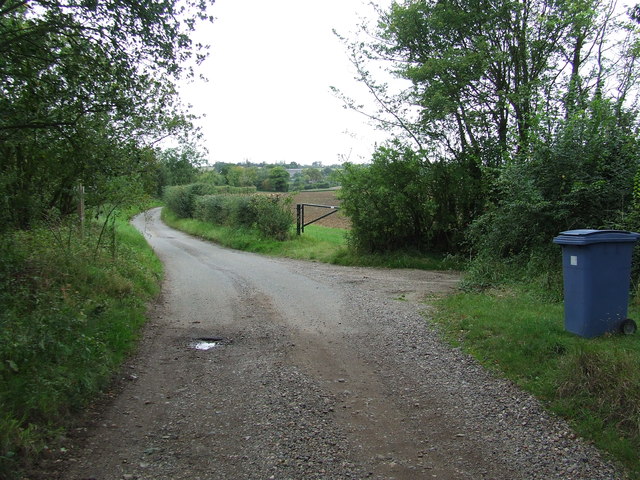
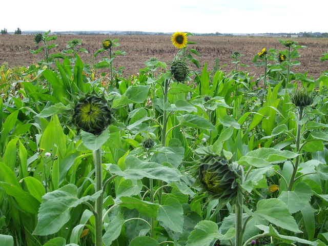
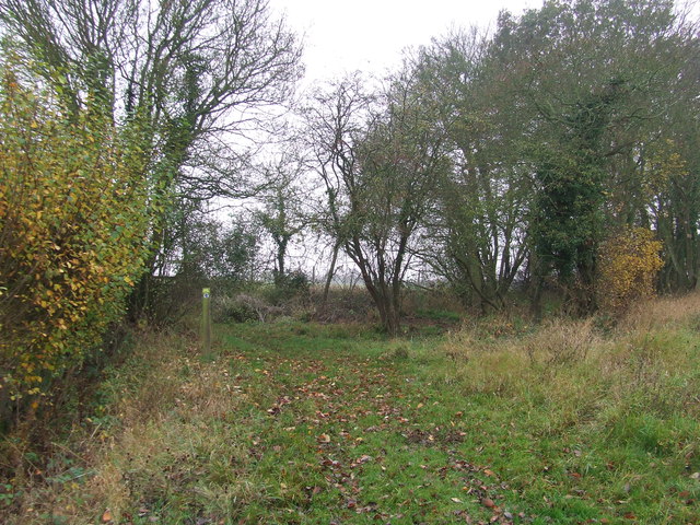
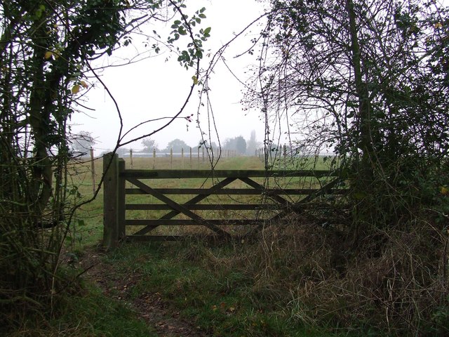
Bushy Plantation is a scenic woodland area located in Suffolk, England. Situated in the heart of the countryside, this vast plantation spans over several acres and features a diverse range of trees and vegetation, making it a haven for nature enthusiasts and hikers alike.

The plantation is predominantly made up of deciduous trees such as oak, beech, and maple, which create a beautiful canopy of greenery throughout the year. In addition to these, there are also various coniferous species like pine and spruce, adding to the overall charm and biodiversity of the plantation.

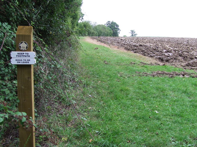
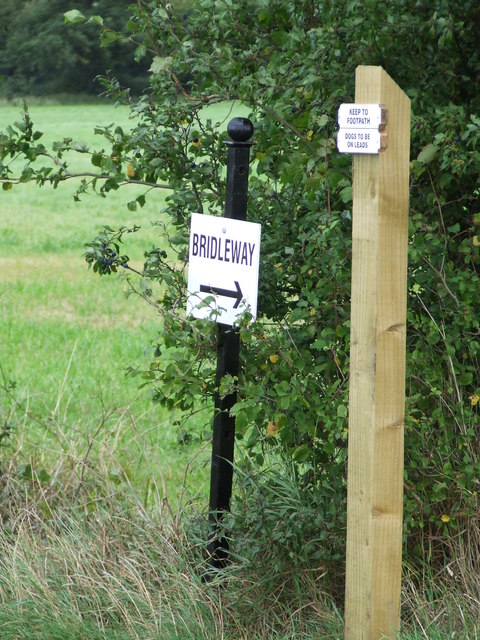
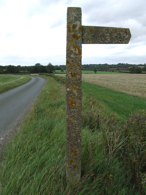
The woodland floor is covered with a rich carpet of moss, ferns, and wildflowers, providing a picturesque setting for visitors to explore. Walking trails meander through the plantation, allowing visitors to immerse themselves in the natural beauty and tranquility of the area.

Bushy Plantation is home to a wide array of wildlife, including deer, foxes, rabbits, and a variety of bird species. Birdwatchers can spot woodpeckers, owls, and finches among the treetops, while nature enthusiasts may encounter squirrels darting through the undergrowth.

The plantation also serves as an important habitat for various insects, including butterflies and bees, contributing to the overall ecological balance of the area.

With its peaceful atmosphere and stunning scenery, Bushy Plantation offers a welcome escape from the hustle and bustle of city life. Whether it's a leisurely stroll, a family picnic, or simply a desire to connect with nature, this Suffolk woodland provides a serene and enchanting experience for all who visit.

If you have any feedback on the listing, please let us know in the comments section below.

Bushy Plantation Images

Images are sourced within 2km of 52.141104/0.71425606 or Grid Reference TL8552. Thanks to Geograph Open Source API. All images are credited.

Church of All Saints, Lawshall A largely fifteenth century church <span class="nowrap"><a title="https://historicengland.org.uk/listing/the-list/list-entry/1036594" rel="nofollow ugc noopener" href="https://historicengland.org.uk/listing/the-list/list-entry/1036594">Link</a><img style="margin-left:2px;" alt="External link" title="External link - shift click to open in new window" src="https://s1.geograph.org.uk/img/external.png" width="10" height="10"/></span>
Church of All Saints, Lawshall
A largely fifteenth century church LinkExternal link
Shimpling Road, heading towards Lawshall
Footpath to Shimpling Street from Shimpling Road
Part of Shimpling Road in Lawshall
The approach to Hanningfields Farm
The village sign at Lawshall
Footpath To Chadacre Park Footpath looking east between Hartest Hill and Chadacre Park near to Hartest, Suffolk
Footpath To Chadacre Park
Footpath looking east between Hartest Hill and Chadacre Park near to Hartest, Suffolk
Nuclear Monitoring Post Surface parts of a now unused Royal Observer Corps nuclear monitoring post near to Hartest, Suffolk see <span class="nowrap"><a title="http://www.subbrit.org.uk/rsg/roc/db/988807445.019002.html" rel="nofollow ugc noopener" href="http://www.subbrit.org.uk/rsg/roc/db/988807445.019002.html">Link</a><img style="margin-left:2px;" alt="External link" title="External link - shift click to open in new window" src="https://s1.geograph.org.uk/img/external.png" width="10" height="10"/></span> and <span class="nowrap"><a title="http://en.wikipedia.org/wiki/Royal_Observer_Corps_Monitoring_Post" rel="nofollow ugc noopener" href="http://en.wikipedia.org/wiki/Royal_Observer_Corps_Monitoring_Post">Link</a><img style="margin-left:2px;" alt="External link" title="External link - shift click to open in new window" src="https://s1.geograph.org.uk/img/external.png" width="10" height="10"/></span> for more info.
Nuclear Monitoring Post
Surface parts of a now unused Royal Observer Corps nuclear monitoring post near to Hartest, Suffolk see LinkExternal link and LinkExternal link for more info.
Barns Barns at Lord's Farm near to Hartest, Suffolk.
Barns
Barns at Lord's Farm near to Hartest, Suffolk.
Start Of Public Road Start of the public road near to Hartest, Suffolk.
Start Of Public Road
Start of the public road near to Hartest, Suffolk.
Keep To Footpath Local signs added to public footpath sign near to Hartest, Suffolk.
Keep To Footpath
Local signs added to public footpath sign near to Hartest, Suffolk.
Sunflowers Sunflowers near to Hartest, Suffolk.
Sunflowers
Sunflowers near to Hartest, Suffolk.
Local signs Local sign plus a public footpath sign near to Hartest, Suffolk.
Local signs
Local sign plus a public footpath sign near to Hartest, Suffolk.
Concrete Footpath Sign Concrete footpath sign off Lawshall Road near to Hartest, Suffolk. This must be the only concrete footpath sign I have seen in Suffolk as they seem to use only wooden ones. They are a very common sight in the neighbouring county of Essex.
Concrete Footpath Sign
Concrete footpath sign off Lawshall Road near to Hartest, Suffolk. This must be the only concrete footpath sign I have seen in Suffolk as they seem to use only wooden ones. They are a very common sight in the neighbouring county of Essex.
Open Fields Open fields near to Brockley, Suffolk.
Open Fields
Open fields near to Brockley, Suffolk.
Hanningfield Green Hanningfield Green, Suffolk.
Hanningfield Green
Hanningfield Green, Suffolk.
Footpath Footpath near to Shimpling, Suffolk.
Footpath
Footpath near to Shimpling, Suffolk.
5 Bar Gate 5 Bar gate near to Shimpling, Suffolk.
5 Bar Gate
5 Bar gate near to Shimpling, Suffolk.
Show me another place!

Bushy Plantation is located at Grid Ref: TL8552 (Lat: 52.141104, Lng: 0.71425606)

Administrative County: Suffolk

District: Babergh

Police Authority: Suffolk

What 3 Words

///clashing.slot.coconut. Near Glemsford, Suffolk

Related Wikis

Audley End, Suffolk

Audley End is a hamlet in the civil parish of Lawshall in the Babergh district in the county of Suffolk, England. It is located between Lambs Lane and...

Frithy and Chadacre Woods

Frithy and Chadacre Woods is a 28.7-hectare (71-acre) biological Site of Special Scientific Interest (SSSI) in the parishes of Lawshall and Shimpling in...

Hibb's Green

Hibb's Green is a hamlet in the civil parish of Lawshall in the Babergh district in the county of Suffolk, England. It is located between Hanningfield...

Shimpling

Shimpling is a village and civil parish in south Suffolk, England. About 7 miles (11 km) from Bury St Edmunds, it is part of Babergh district. The village...

Hanningfield Green

Hanningfield Green, sometimes referred to as Hanningfields Green, is a hamlet in the civil parish of Lawshall in the Babergh district in the county of...

Bury Road, Lawshall

Bury Road, Lawshall is a linear settlement in the civil parish of Lawshall in the Babergh district in the county of Suffolk, England. The northern part...

Lawshall Hall

Lawshall Hall is a Grade II* listed building, re-built in 1557, that is located in the parish of Lawshall in Suffolk. The Hall is adjacent to All Saints...

All Saints' Church, Lawshall

The Parish Church of All Saints' Lawshall, is an Anglican church in the village of Lawshall, Suffolk, England. It has been designated by English Heritage...

Nearby Amenities

Located within 500m of 52.141104,0.71425606
Power: pole
Source: Bing
Lat/Long: 52.1367628/0.7129902
Power: pole
Source: Bing
Lat/Long: 52.136635/0.7136217
Passing Place
Lat/Long: 52.1371815/0.7110232
The data included in this document is from www.openstreetmap.org. The data is made available under ODbL.

Have you been to Bushy Plantation?

Leave your review of Bushy Plantation below (or comments, questions and feedback).