Flitcham
Settlement in Norfolk King's Lynn and West Norfolk
England
Flitcham
Flitcham is a quaint village situated in the county of Norfolk, England. Nestled amidst the picturesque landscape of the West Norfolk countryside, it is located approximately 12 miles northeast of the historic market town of King's Lynn. With its idyllic rural setting and charming atmosphere, Flitcham offers a peaceful retreat for residents and visitors alike.
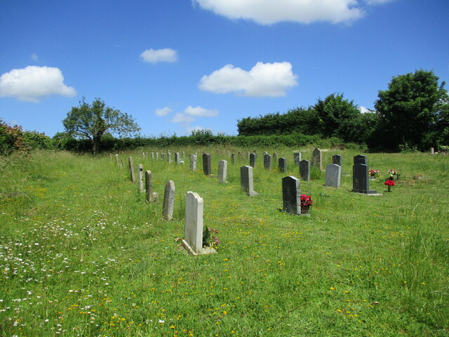
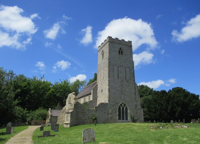
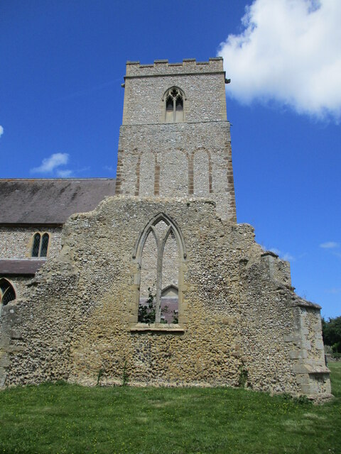
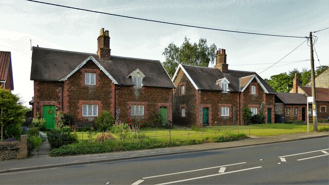
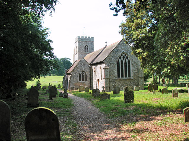
The village is home to a close-knit community and has a population of around 400 residents. It has a rich history dating back to medieval times, evident through its beautiful architecture and historic landmarks. One such landmark is the All Saints Church, a Grade II listed building dating back to the 14th century, known for its strikingly tall tower and intricate stained glass windows.
Flitcham benefits from its proximity to the royal Sandringham Estate, which lies just two miles to the east. The estate, which serves as the country retreat of the British royal family, offers stunning gardens, woodland walks, and a museum showcasing the history of the royal residence.
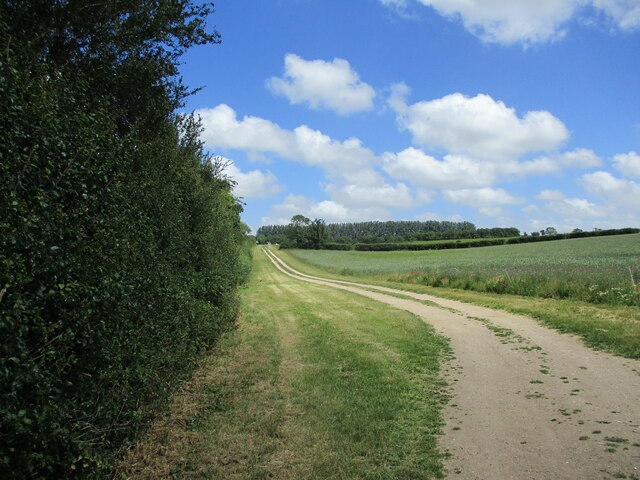
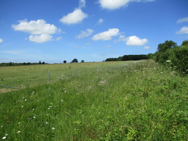
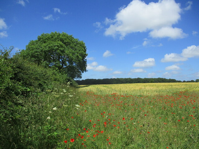
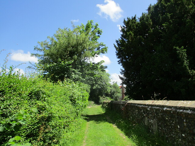
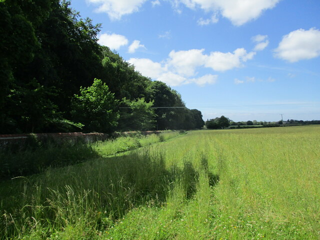
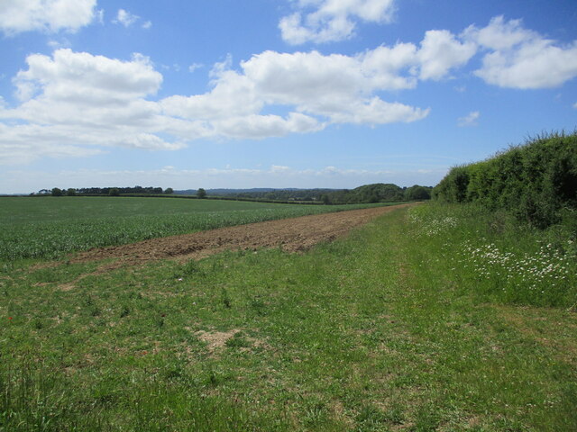
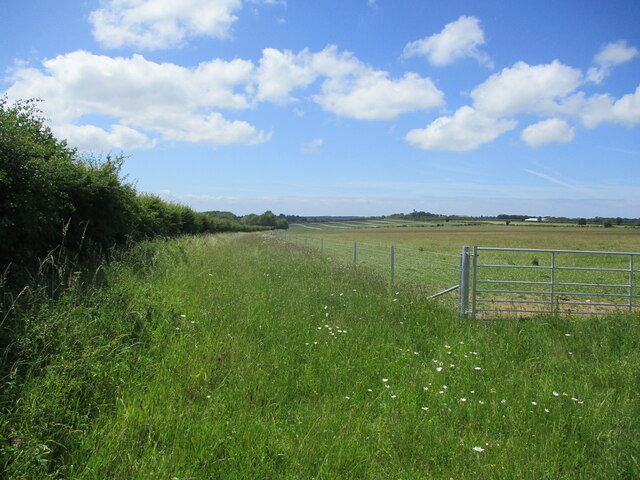
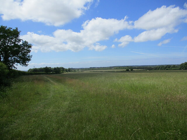
The village itself boasts several amenities, including a primary school, a village hall, and a traditional pub, providing a sense of community and convenience for its residents. The surrounding countryside offers ample opportunities for outdoor activities and exploration, with numerous footpaths and bridleways to discover.
In summary, Flitcham is a charming village in Norfolk, known for its scenic beauty, historical heritage, and close-knit community. Whether exploring the local landmarks or enjoying the tranquility of the countryside, Flitcham offers a delightful escape from the hustle and bustle of modern life.
If you have any feedback on the listing, please let us know in the comments section below.
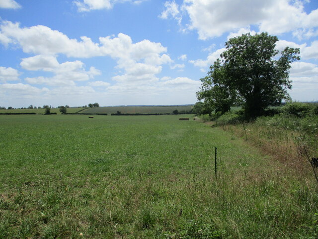
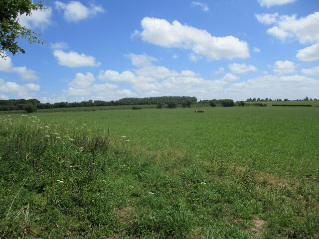
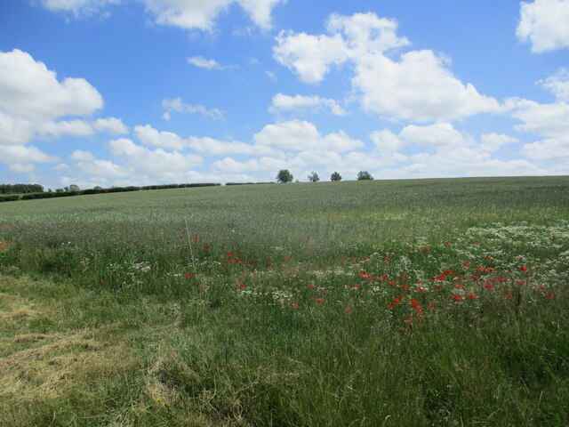
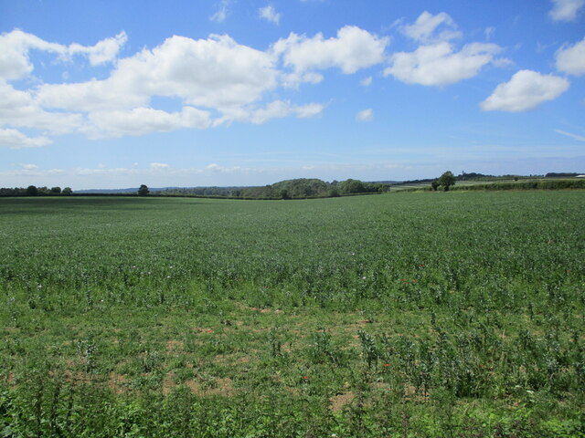
Flitcham Images
Images are sourced within 2km of 52.810096/0.563468 or Grid Reference TF7226. Thanks to Geograph Open Source API. All images are credited.


Flitcham is located at Grid Ref: TF7226 (Lat: 52.810096, Lng: 0.563468)
Administrative County: Norfolk
District: King's Lynn and West Norfolk
Police Authority: Norfolk
What 3 Words
///rubble.disgraced.nodded. Near Grimston, Norfolk
Nearby Locations
Related Wikis

Flitcham, Norfolk
Flitcham is a village and civil parish in the English county of Norfolk. The village is located 7.1 miles (11.4 km) north-east of King's Lynn and 33 miles...

Flitcham with Appleton
Flitcham with Appleton is a civil parish in the English county of Norfolk. It covers an area of 17.08 km2 (6.59 sq mi) and had a population of 236 in 96...

Hillington railway station
Hillington railway station was a station in Hillington, Norfolk on the now closed Midland and Great Northern Joint Railway line between South Lynn and...

Hillington, Norfolk
Hillington is a village and civil parish in the English county of Norfolk. It covers an area of 10.27 km2 (3.97 sq mi) and had a population of 287 in 123...

River Cong (Norfolk)
The River Cong is a stream in the west of the county of Norfolk, only 1.5 miles (2.4 km) in length. It is a tributary of the River Babingley. The spring...
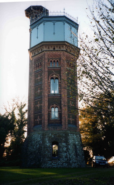
Appleton Water Tower
The Appleton Water Tower is a Victorian water tower located in Sandringham, Norfolk. It was constructed in 1877 to improve the quality of the water supply...

Anmer Hall
Anmer Hall is a Georgian country house in the village of Anmer in Norfolk, England. Built in the 19th century, it was acquired by the Sandringham Estate...
Anmer
Anmer is a small village and civil parish in the English county of Norfolk. It is around 12 miles (19 km) north-east of the town of King's Lynn and 35...
Related Videos

#SHORTS - Queen Elizabeth leaving Flitcham Church in Norfolk in January 1992
SHORTS #QueenElizabeth #royalFamily #flitchamchurch #SHORTS - Queen Elizabeth leaving Flitcham Church in Norfolk in ...

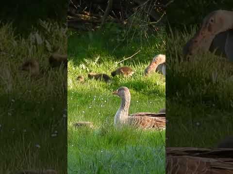
Greylag Goslings #shorts
Filmed at Abbey Farm, Flitcham in Norfolk.
Greylag Goslings #shorts
Filmed at Abbey Farm, Flitcham in Norfolk.
Nearby Amenities
Located within 500m of 52.810096,0.563468Have you been to Flitcham?
Leave your review of Flitcham below (or comments, questions and feedback).