Decoy Plantation
Wood, Forest in Norfolk King's Lynn and West Norfolk
England
Decoy Plantation
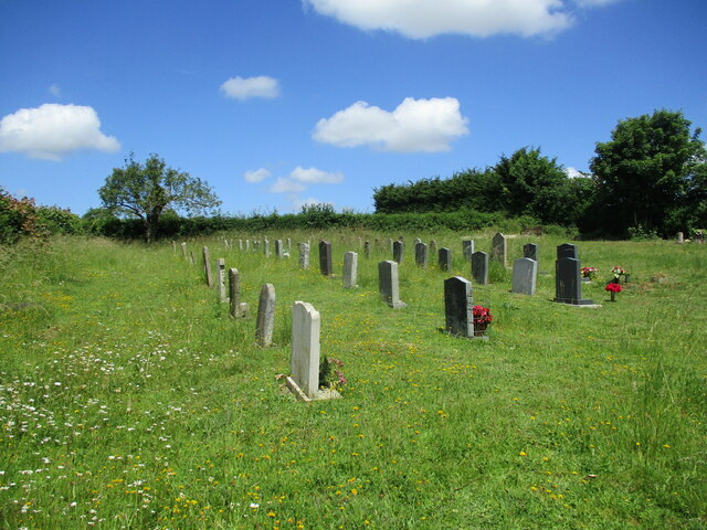
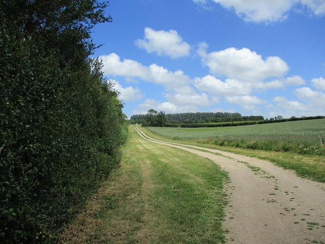
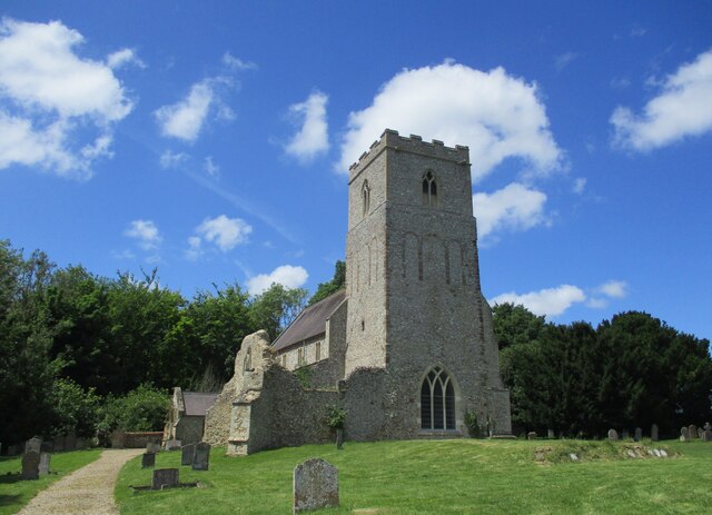
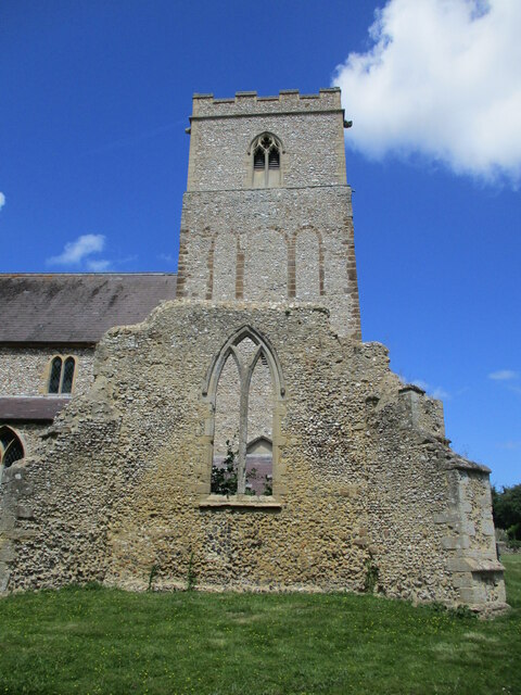
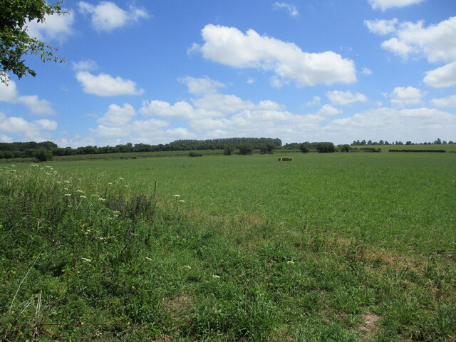
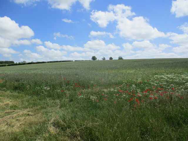
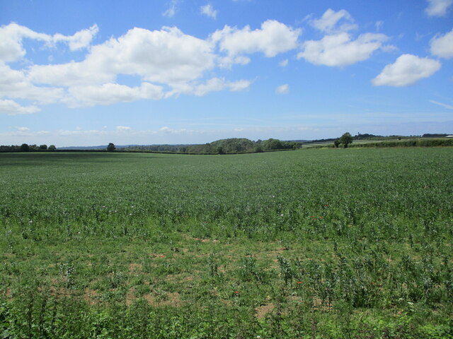
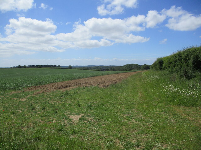
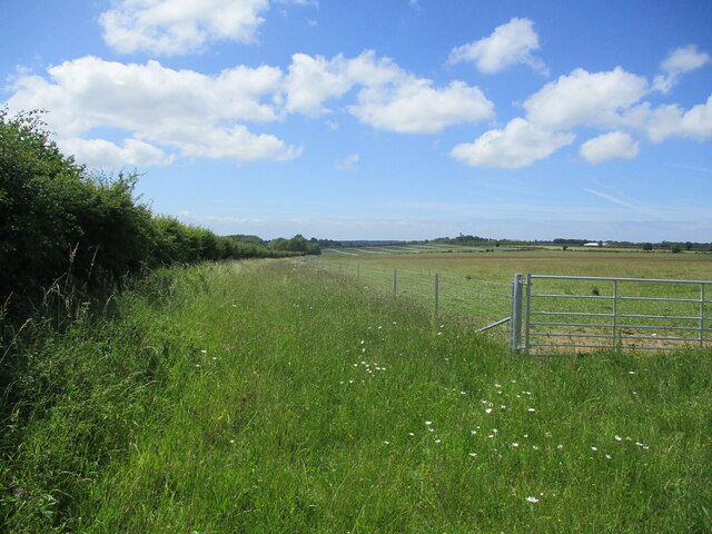
Decoy Plantation is a picturesque woodland area located in Norfolk, England. Spread over a vast area, this beautiful plantation is known for its dense forest cover and serene atmosphere. The plantation is situated in close proximity to the village of Wood, making it easily accessible to visitors.
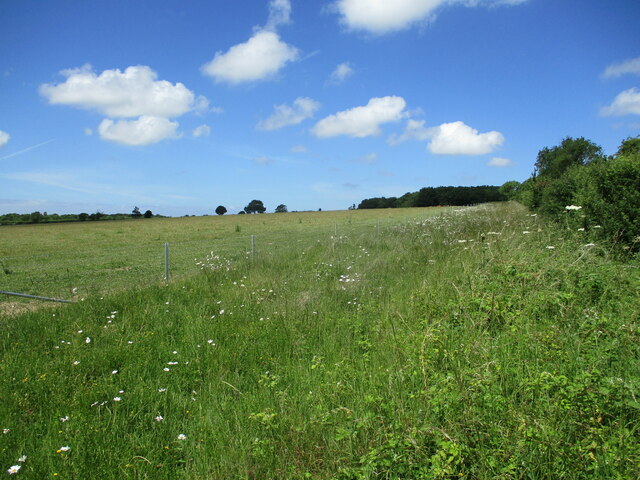
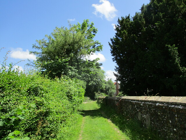
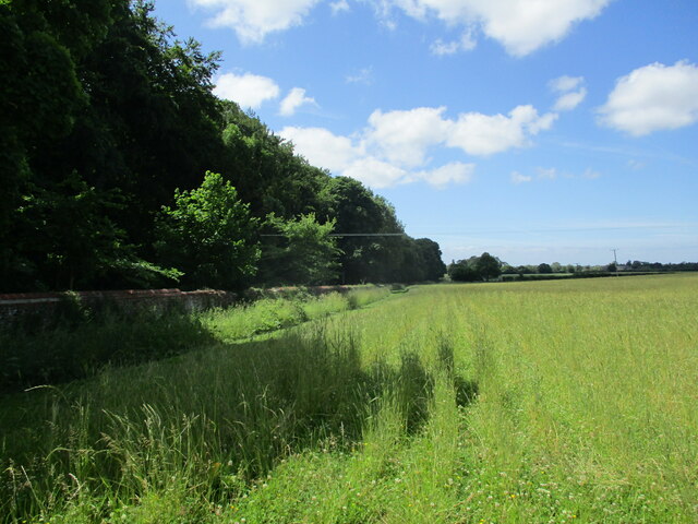
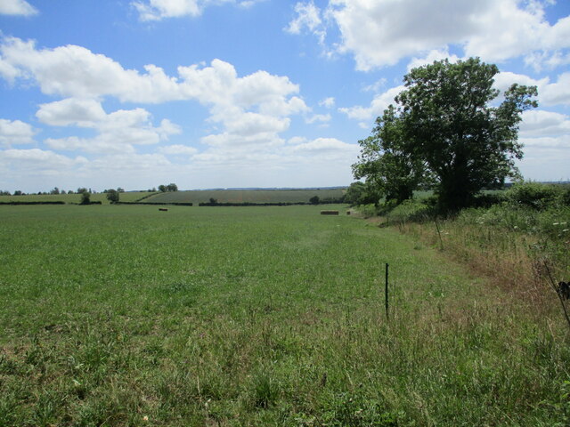
The woodland in Decoy Plantation is predominantly composed of a variety of trees, including oak, beech, and ash. These trees create a lush green canopy that provides a habitat for a diverse range of wildlife. The plantation is home to numerous species of birds, such as woodpeckers and owls, as well as small mammals like squirrels and foxes.
Decoy Plantation is a popular destination for nature enthusiasts and outdoor activities. It offers several well-maintained walking trails, allowing visitors to explore the plantation and enjoy its natural beauty. The trails wind through the dense forest, providing an opportunity to observe the local flora and fauna up close.
The plantation is also known for its tranquil ponds and lakes, which add to the overall charm of the area. These bodies of water are home to various species of fish and attract a variety of water birds, creating a peaceful and serene environment.
Decoy Plantation is not only a haven for wildlife and nature lovers but also serves as an important conservation area. The woodland is carefully managed to preserve its biodiversity and protect its delicate ecosystem.
Overall, Decoy Plantation in Norfolk is a haven of natural beauty, offering visitors a chance to connect with nature and enjoy the tranquility of the woodland surroundings.
If you have any feedback on the listing, please let us know in the comments section below.
Decoy Plantation Images
Images are sourced within 2km of 52.806422/0.55043223 or Grid Reference TF7226. Thanks to Geograph Open Source API. All images are credited.


Decoy Plantation is located at Grid Ref: TF7226 (Lat: 52.806422, Lng: 0.55043223)
Administrative County: Norfolk
District: King's Lynn and West Norfolk
Police Authority: Norfolk
What 3 Words
///vesting.innovator.tightrope. Near Grimston, Norfolk
Nearby Locations
Related Wikis

Flitcham with Appleton
Flitcham with Appleton is a civil parish in the English county of Norfolk. It covers an area of 17.08 km2 (6.59 sq mi) and had a population of 236 in 96...

Hillington, Norfolk
Hillington is a village and civil parish in the English county of Norfolk. It covers an area of 10.27 km2 (3.97 sq mi) and had a population of 287 in 123...

Flitcham, Norfolk
Flitcham is a village and civil parish in the English county of Norfolk. The village is located 7.1 miles (11.4 km) north-east of King's Lynn and 33 miles...

Hillington railway station
Hillington railway station was a station in Hillington, Norfolk on the now closed Midland and Great Northern Joint Railway line between South Lynn and...

River Cong (Norfolk)
The River Cong is a stream in the west of the county of Norfolk, only 1.5 miles (2.4 km) in length. It is a tributary of the River Babingley. The spring...
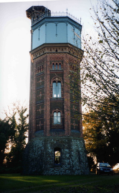
Appleton Water Tower
The Appleton Water Tower is a Victorian water tower located in Sandringham, Norfolk. It was constructed in 1877 to improve the quality of the water supply...

West Newton, Norfolk
West Newton is a village and former civil parish, now in the parish of Sandringham, in the King's Lynn and West Norfolk district, in the north of the county...

Congham
Congham is a village and civil parish in the English county of Norfolk. It is situated some 6 miles (10 km) east of the town of King's Lynn and 34 miles...
Nearby Amenities
Located within 500m of 52.806422,0.55043223Have you been to Decoy Plantation?
Leave your review of Decoy Plantation below (or comments, questions and feedback).