Alder Wood
Wood, Forest in Sussex Rother
England
Alder Wood

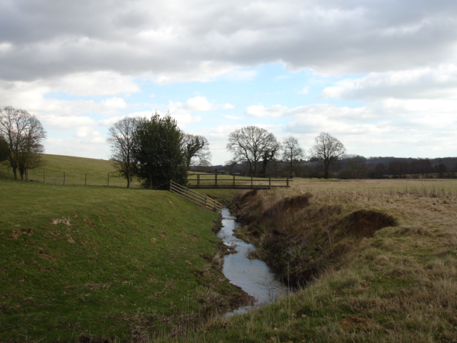
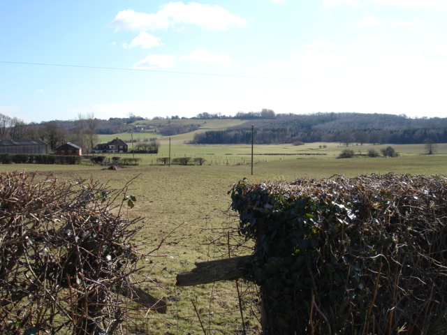
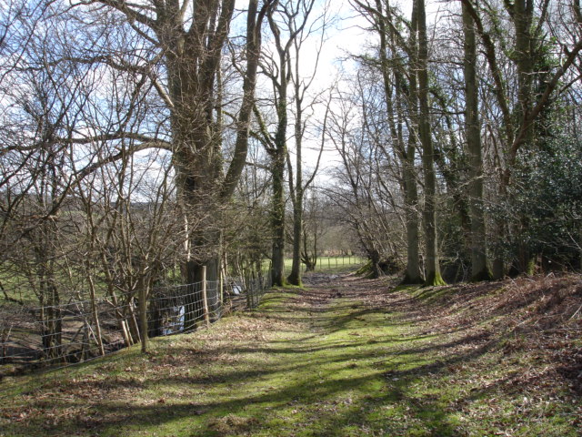
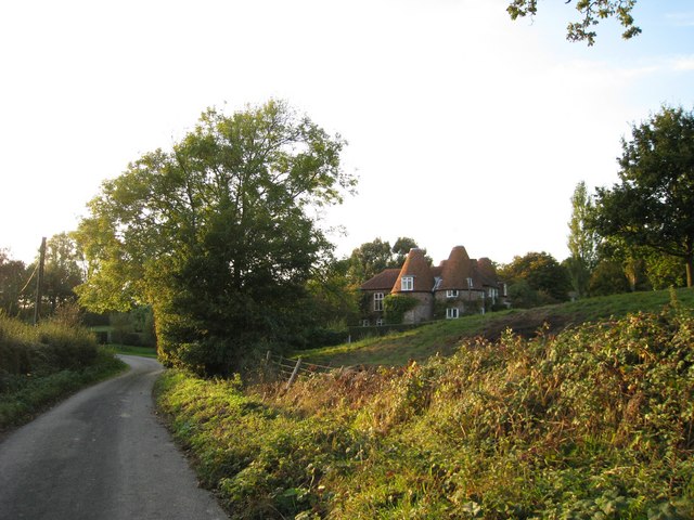
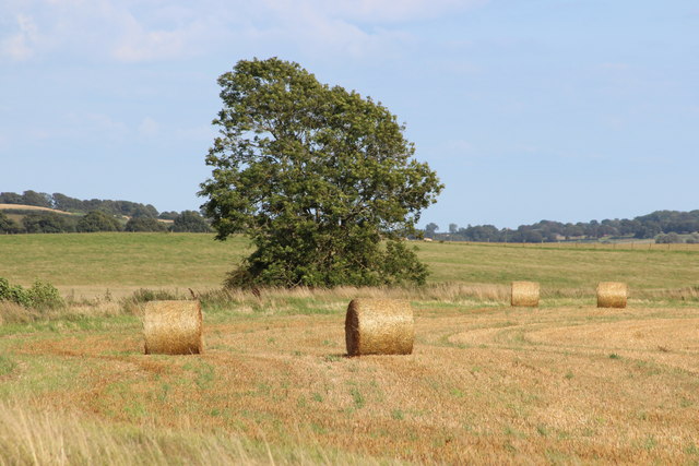
Alder Wood is a picturesque forest located in the county of Sussex, England. Spread across a vast area, this woodland is known for its dense population of alder trees, which give it its name. With its tranquil surroundings and diverse ecosystem, Alder Wood offers visitors a unique opportunity to immerse themselves in nature.
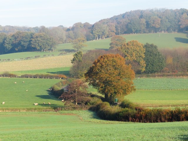
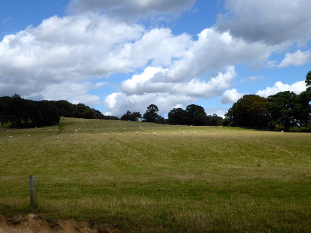
The forest is home to a wide variety of flora and fauna, including numerous bird species, mammals, and insects. The alder trees, with their distinctive dark bark and serrated leaves, dominate the landscape, creating a beautiful canopy that provides shade and shelter for the woodland creatures. The forest floor is covered in a rich carpet of mosses, ferns, and wildflowers, adding to the enchanting atmosphere.
Alder Wood is crisscrossed by a network of well-maintained footpaths, making it easily accessible for hikers and nature enthusiasts. The trails wind their way through the forest, revealing hidden glades, babbling brooks, and ancient oak trees. The air is filled with the soothing sounds of chirping birds and rustling leaves, providing a sense of tranquility and escape from the hustle and bustle of everyday life.
The forest is also a popular destination for wildlife enthusiasts and photographers, as it provides excellent opportunities to observe and capture the beauty of the natural world. Many rare and endangered species can be found here, making it a haven for biodiversity.
Overall, Alder Wood is a remarkable natural gem in Sussex. Its lush vegetation, diverse wildlife, and peaceful ambiance make it a perfect destination for those seeking to reconnect with nature and experience the serenity of a woodland setting.
If you have any feedback on the listing, please let us know in the comments section below.
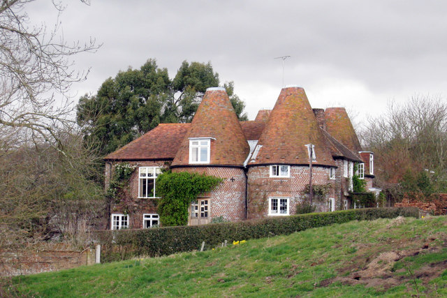
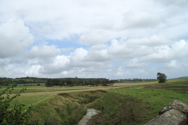
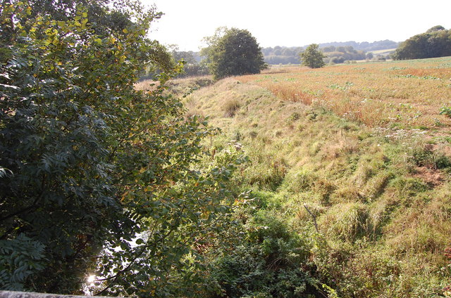
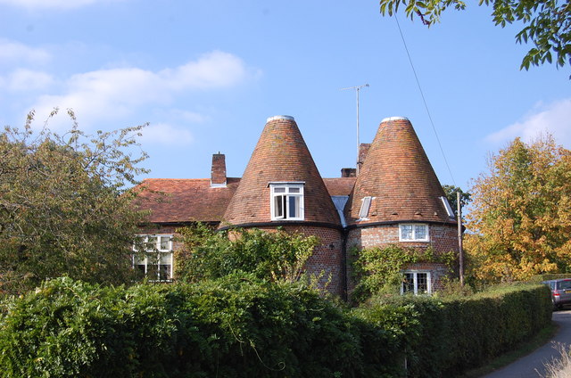
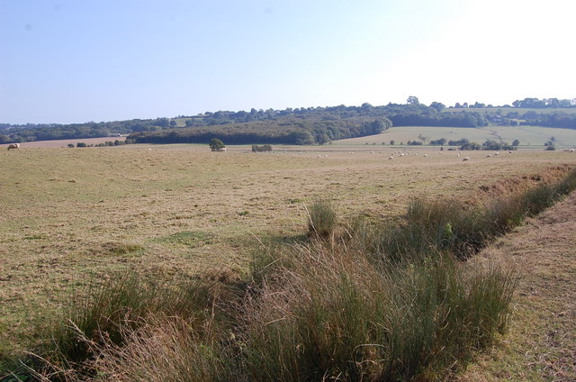
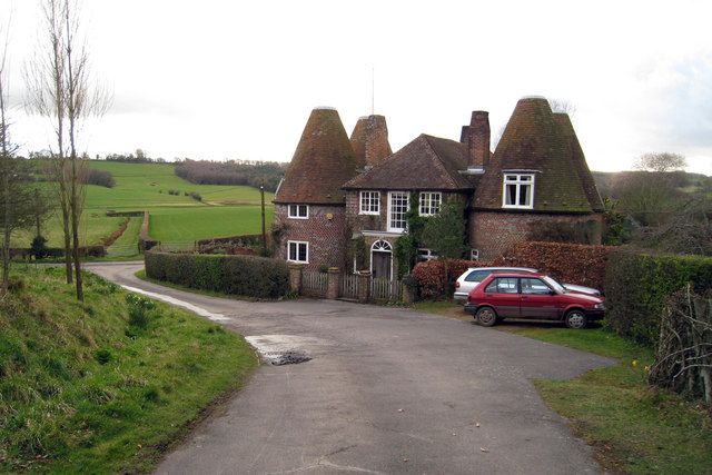
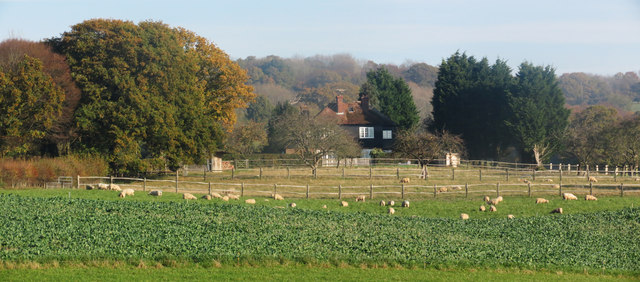
Alder Wood Images
Images are sourced within 2km of 50.937669/0.63094365 or Grid Reference TQ8418. Thanks to Geograph Open Source API. All images are credited.


Alder Wood is located at Grid Ref: TQ8418 (Lat: 50.937669, Lng: 0.63094365)
Administrative County: East Sussex
District: Rother
Police Authority: Sussex
What 3 Words
///clean.replayed.proudest. Near Northiam, East Sussex
Nearby Locations
Related Wikis
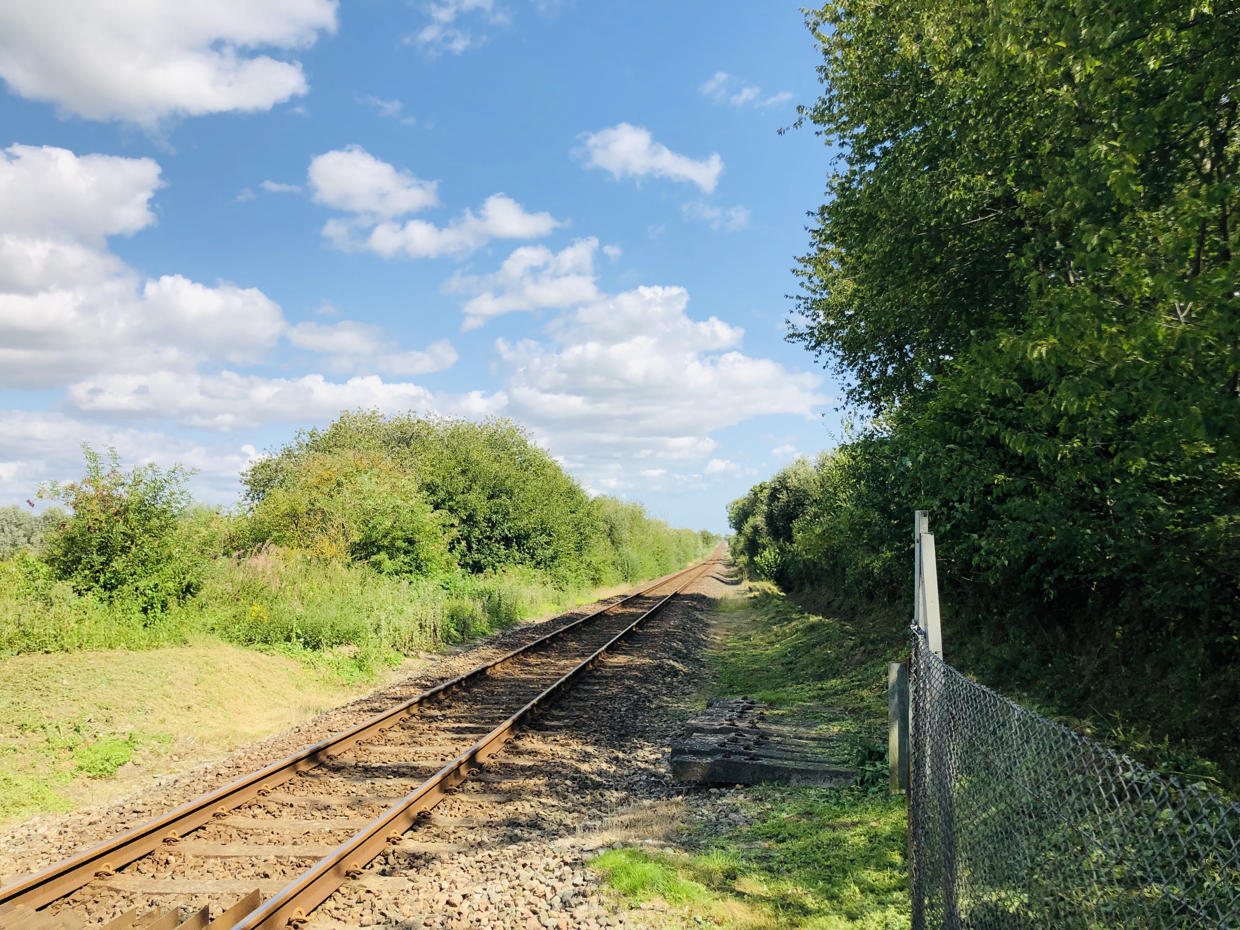
Snailham Halt railway station
Snailham Halt railway station was on the South Eastern Railway's route between Ashford and Hastings, nowadays known as the Marshlink Line. It opened in...

Brede Pit and Cutting
Brede Pit and Cutting is a 0.6-hectare (1.5-acre) geological Site of Special Scientific Interest in Brede in East Sussex. It is a Geological Conservation...

Brede, East Sussex
Brede is a village and civil parish in the Rother district of East Sussex, England. It is located eight miles (13 km) north of Hastings and four miles...

Doleham railway station
Doleham railway station is a small, single-platform wayside halt in Doleham, East Sussex, England. It is on the Marshlink line, and train services are...
Nearby Amenities
Located within 500m of 50.937669,0.63094365Have you been to Alder Wood?
Leave your review of Alder Wood below (or comments, questions and feedback).