Roundabout Covert
Wood, Forest in Norfolk Breckland
England
Roundabout Covert
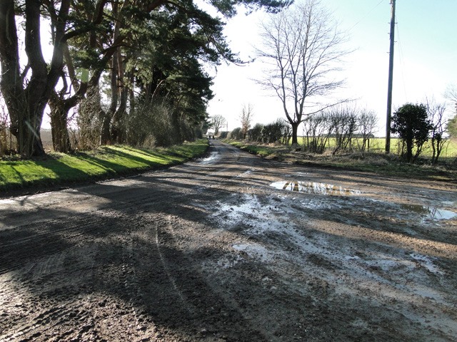
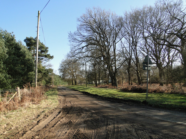
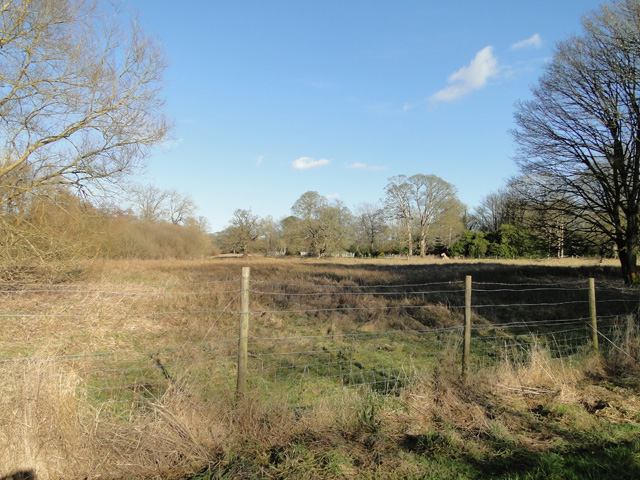
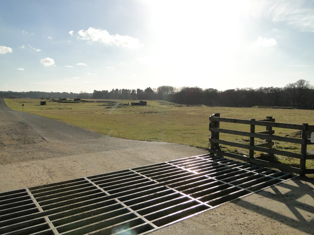
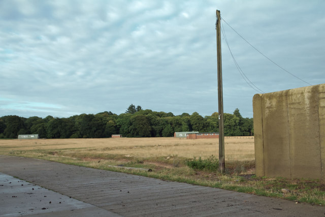
Roundabout Covert is a picturesque woodland located in Norfolk, England. Situated in the heart of the county, this enchanting forest is known for its natural beauty and tranquil surroundings. Covering an area of approximately 100 acres, Roundabout Covert offers visitors a welcome escape from the hustle and bustle of everyday life.
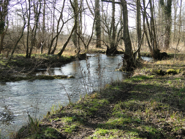
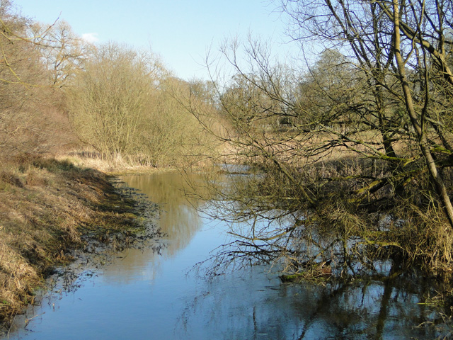
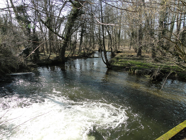
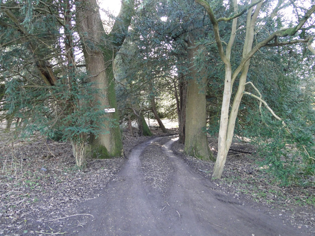
The woodland is primarily composed of a mix of deciduous and coniferous trees, creating a diverse and vibrant ecosystem. Oak, beech, and birch trees dominate the landscape, providing a rich habitat for various species of wildlife. The forest floor is adorned with a carpet of bluebells and wildflowers during the spring, adding a splash of color to the serene surroundings.
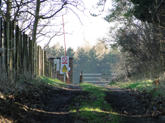
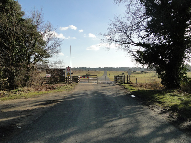
Roundabout Covert is a haven for nature enthusiasts and outdoor lovers. The forest is crisscrossed with well-maintained walking trails, allowing visitors to explore and immerse themselves in the natural wonders of the area. The tranquil atmosphere and peaceful ambiance make it a popular destination for walkers, birdwatchers, and photographers alike.
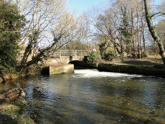
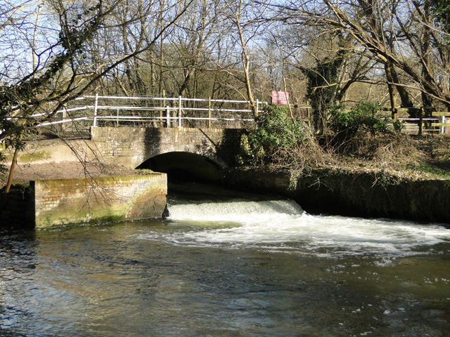
The forest also boasts a small pond, which serves as a watering hole for local wildlife. Ducks, geese, and various species of birds can often be spotted near the water, creating a picturesque scene for nature enthusiasts.
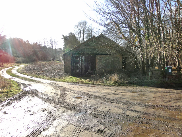
Roundabout Covert is open to the public year-round and offers ample parking facilities for visitors. Whether one seeks a peaceful stroll through the woods or a chance to connect with nature, this woodland sanctuary in Norfolk is sure to provide a memorable experience for all who venture within its boundaries.
If you have any feedback on the listing, please let us know in the comments section below.
Roundabout Covert Images
Images are sourced within 2km of 52.528925/0.71263823 or Grid Reference TL8495. Thanks to Geograph Open Source API. All images are credited.
Roundabout Covert is located at Grid Ref: TL8495 (Lat: 52.528925, Lng: 0.71263823)
Administrative County: Norfolk
District: Breckland
Police Authority: Norfolk
What 3 Words
///herds.tame.wired. Near Mundford, Norfolk
Nearby Locations
Related Wikis
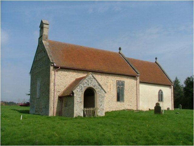
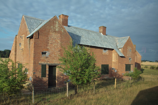
Langford, Norfolk
Langford is a village and former civil parish, now in the parish of Ickburgh, in the Breckland district, in the county of Norfolk, England. The village...

Buckenham Tofts
Buckenham Tofts (or Buckenham Parva; Little Buckenham) is a former civil parish, now in the parish of Stanford, in the Breckland district, in the county...
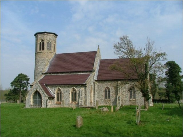
Stanford, Norfolk
Stanford is a deserted village and civil parish in the English county of Norfolk. It is situated 7+1⁄2 miles (12 km) north of the town of Thetford and...

Lynford Hall
Lynford Hall is a neo-Jacobean country house at Mundford, near Thetford in the English county of Norfolk. It is now a hotel. == Location == The Lynford...
Nearby Amenities
Located within 500m of 52.528925,0.71263823Have you been to Roundabout Covert?
Leave your review of Roundabout Covert below (or comments, questions and feedback).