Archer's Covert
Wood, Forest in Norfolk Breckland
England
Archer's Covert
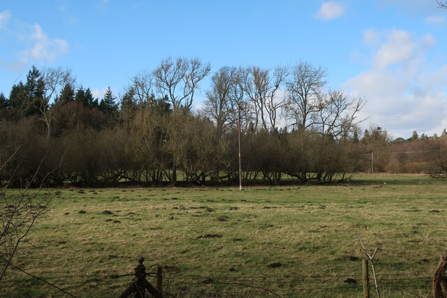
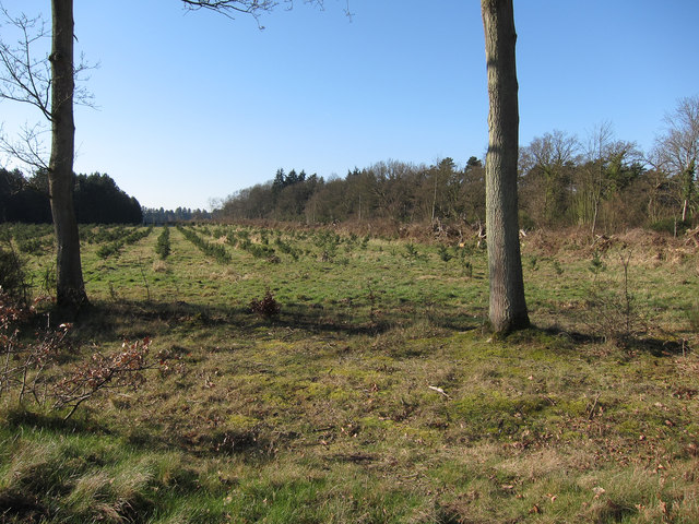
Archer's Covert, located in Norfolk, England, is a picturesque woodland area known for its natural beauty and tranquility. Covering an extensive area of lush greenery, Archer's Covert is a haven for nature enthusiasts and those seeking a peaceful retreat from the bustling city life.
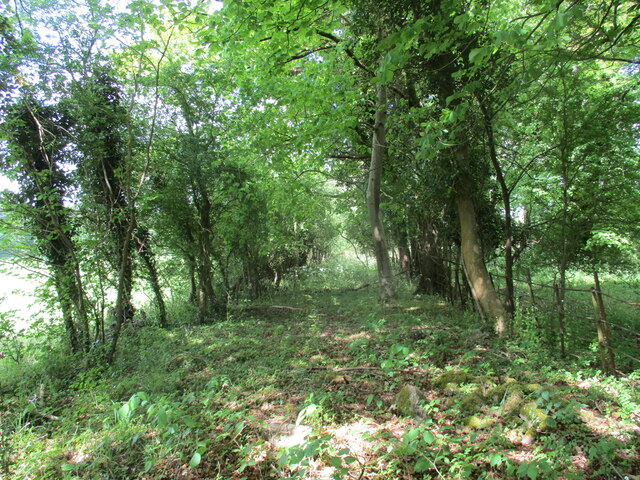
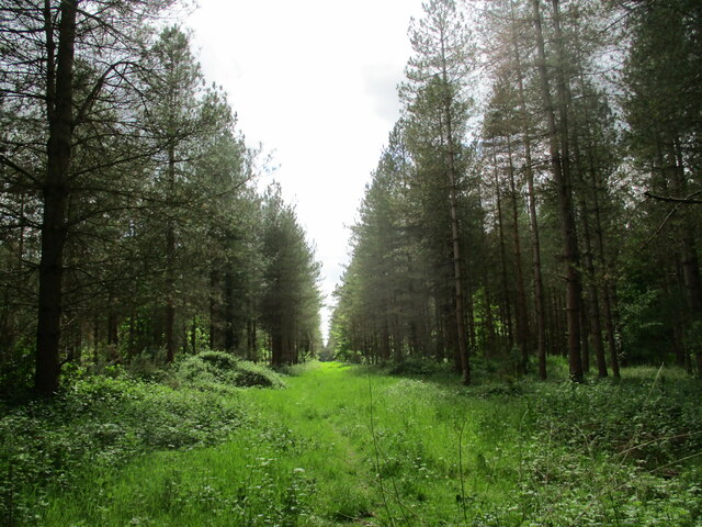
The woodland is predominantly composed of various species of trees, including oak, beech, and birch, creating a diverse and enchanting environment. The dense foliage provides a natural canopy, allowing dappled sunlight to filter through and cast shadows, enhancing the ethereal ambiance of the forest.
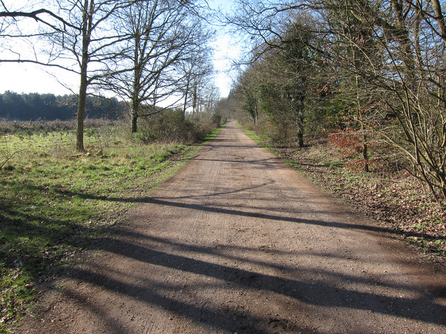
Within Archer's Covert, there are numerous walking trails and paths that wind their way through the trees, allowing visitors to explore the woodland at their own pace. These trails are well-maintained and offer a range of difficulty levels, catering to both casual strollers and more experienced hikers.
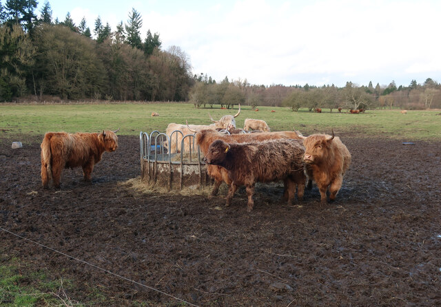
Wildlife is abundant in Archer's Covert, with a wide variety of species calling the forest their home. Visitors may spot deer, rabbits, squirrels, and an array of bird species, including woodpeckers and owls. The diverse ecosystem also supports a range of plant life, with colorful wildflowers and ferns adding to the natural beauty of the woodland.
Archer's Covert is not only a haven for nature lovers but also a place of historical significance. The forest has stood for centuries, witnessing the passage of time and preserving the stories of the past. It serves as a reminder of the region's rich cultural heritage and provides a serene backdrop for those seeking solace in nature.
If you have any feedback on the listing, please let us know in the comments section below.
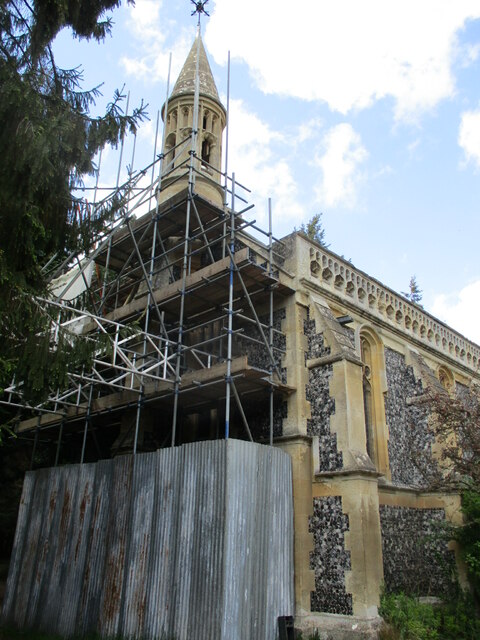
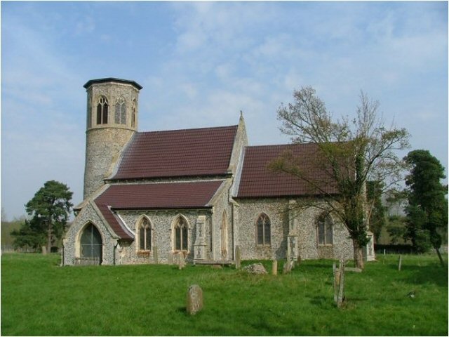
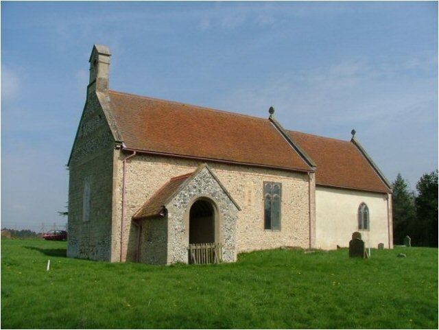
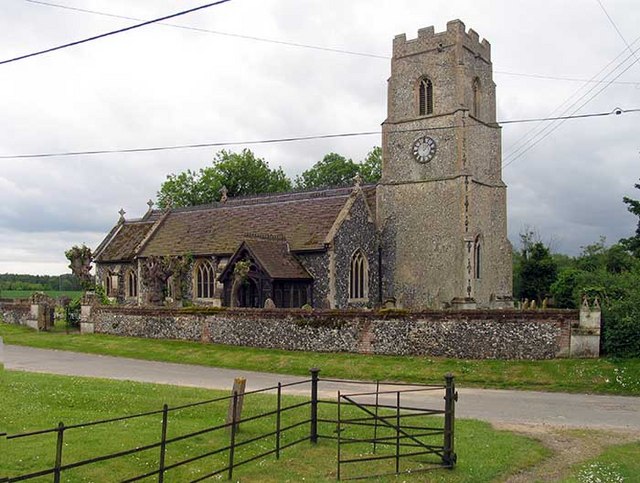
Archer's Covert Images
Images are sourced within 2km of 52.506862/0.7077272 or Grid Reference TL8393. Thanks to Geograph Open Source API. All images are credited.


Archer's Covert is located at Grid Ref: TL8393 (Lat: 52.506862, Lng: 0.7077272)
Administrative County: Norfolk
District: Breckland
Police Authority: Norfolk
What 3 Words
///defensive.quaking.alerting. Near Mundford, Norfolk
Nearby Locations
Related Wikis

West Tofts
West Tofts is a deserted village dating back to the medieval period, which was emparked in the 18th century. It is located in the civil parish of Lynford...

Buckenham Tofts
Buckenham Tofts (or Buckenham Parva; Little Buckenham) is a former civil parish, now in the parish of Stanford, in the Breckland district, in the county...
Stanford, Norfolk
Stanford is a deserted village and civil parish in the English county of Norfolk. It is situated 7+1⁄2 miles (12 km) north of the town of Thetford and...

Lynford Hall
Lynford Hall is a neo-Jacobean country house at Mundford, near Thetford in the English county of Norfolk. It is now a hotel. == Location == The Lynford...

Lynford
Lynford is a village and civil parish in the Breckland District of Norfolk. The parish covers an area of 24.72 km2 (9.54 sq mi), and the 2001 Census recorded...

Stanford Training Area SSSI
Stanford Training Area SSSI is part of the British Army Stanford Training Area. It is a 4,678-hectare (11,560-acre) biological and geological Site of Special...
Langford, Norfolk
Langford is a village and former civil parish, now in the parish of Ickburgh, in the Breckland district, in the county of Norfolk, England. The village...
Ickburgh
Ickburgh is a village and civil parish in the English county of Norfolk. It is situated on the A1065 Mildenhall to Fakenham road, some 5.5 miles (8.9 km...
Nearby Amenities
Located within 500m of 52.506862,0.7077272Have you been to Archer's Covert?
Leave your review of Archer's Covert below (or comments, questions and feedback).