Parsonsgap Covert
Wood, Forest in Suffolk West Suffolk
England
Parsonsgap Covert

Parsonsgap Covert is a picturesque woodland located in Suffolk, England. Covering an area of approximately 100 acres, it is known for its dense trees and tranquil atmosphere, making it a popular destination for nature enthusiasts and hikers.
The woodland is predominantly composed of a diverse range of tree species, including oak, beech, and birch. These towering trees create a dense canopy, providing shade and shelter for a variety of wildlife. Parsonsgap Covert is home to numerous bird species, such as woodpeckers, owls, and thrushes, making it a haven for birdwatchers. Additionally, the woodland is inhabited by small mammals like foxes, badgers, and squirrels, which can often be spotted scurrying through the undergrowth.
Trails and footpaths wind their way through Parsonsgap Covert, allowing visitors to explore its natural beauty. The paths are well-maintained, making it accessible to walkers of all abilities. Along the way, visitors can discover enchanting clearings, babbling brooks, and wildflowers, adding to the charm of the woodland.
Parsonsgap Covert is part of a larger network of woodlands in the area, providing ample opportunities for longer hikes and exploration. The surrounding landscape is characterized by rolling hills and open fields, offering panoramic views of the Suffolk countryside.
Overall, Parsonsgap Covert is a hidden gem nestled in the heart of Suffolk. Its tranquil atmosphere, diverse wildlife, and stunning natural scenery make it a must-visit destination for nature lovers and those seeking a peaceful retreat.
If you have any feedback on the listing, please let us know in the comments section below.
Parsonsgap Covert Images
Images are sourced within 2km of 52.306133/0.6918334 or Grid Reference TL8370. Thanks to Geograph Open Source API. All images are credited.


Parsonsgap Covert is located at Grid Ref: TL8370 (Lat: 52.306133, Lng: 0.6918334)
Administrative County: Suffolk
District: West Suffolk
Police Authority: Suffolk
What 3 Words
///obtain.spill.tomb. Near Great Barton, Suffolk
Nearby Locations
Related Wikis

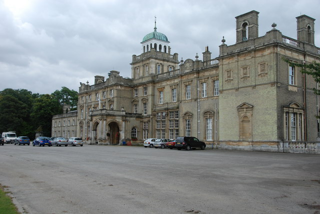
Culford Park
Culford Park in Culford, Suffolk, England, is a country house that is the former seat of the Bacon, Cornwallis and Cadogan families, and now it is the...

Culford School
Culford School is a co-educational private boarding and day school for pupils age 1–18 in the village of Culford, 4 miles (6.4 km) miles north of Bury...
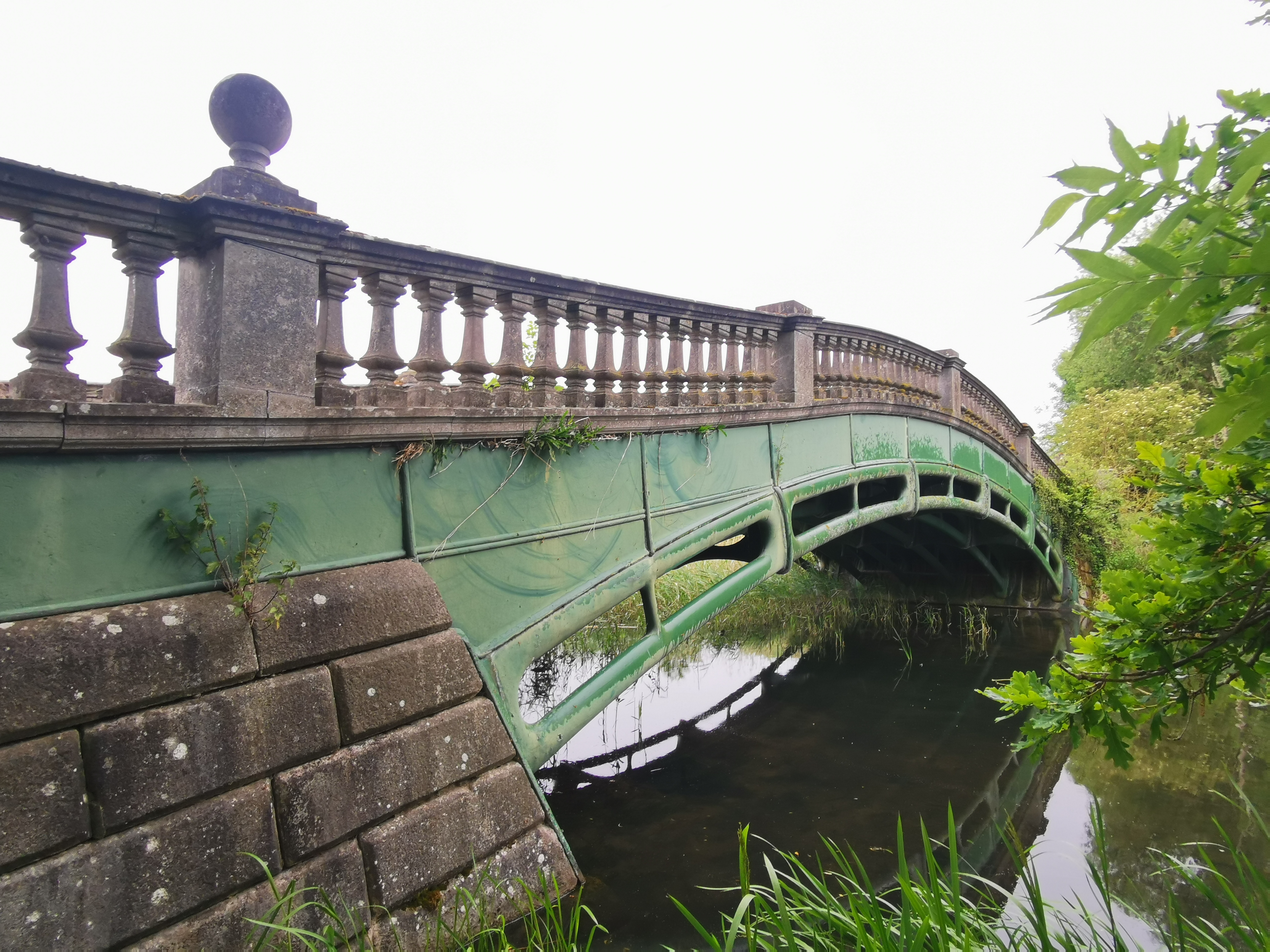
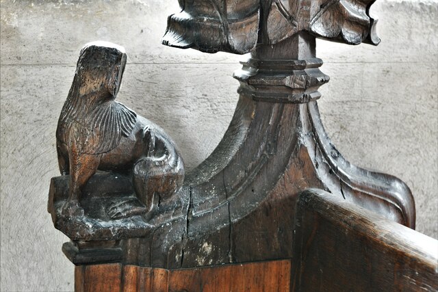
The Iron Bridge, Culford Park
The Iron Bridge is a grade I listed early cast iron bridge crossing a tributary of the River Lark in grounds of Culford Park in the village of Culford...
Culford
Culford is a village and civil parish about 4 miles (6 km) north of Bury St Edmunds and 62 miles (100 km) north east of London in the West Suffolk district...
Related Videos

West Stow|Nature Walk
We have been cooped up in the house for months so we decided to go on a nature walk in West Stow. The Anglo-Saxon Village ...

West Stow Pods - MegaPod experience 2020
A beautiful location to 'glamp' in, we stayed in Boudicca, pod 4 :-)

Review of the Dream Lodge Group at Fornham Park (Suffolk)
They liked my first video so much that they let us stay again. So lets try this platinum Dream Lodge out in Bury St Edmunds, Suffolk ...

Ross & Jessica Wedding Highlights Hall Farm Bury St Edmonds Suffolk
Ross & Jessica Wedding Highlights Hall Farm Suffolk Smoke bombs and champagne was in the air, for the in love couple who ...
Nearby Amenities
Located within 500m of 52.306133,0.6918334Have you been to Parsonsgap Covert?
Leave your review of Parsonsgap Covert below (or comments, questions and feedback).