Alder Shaw
Wood, Forest in Sussex Rother
England
Alder Shaw
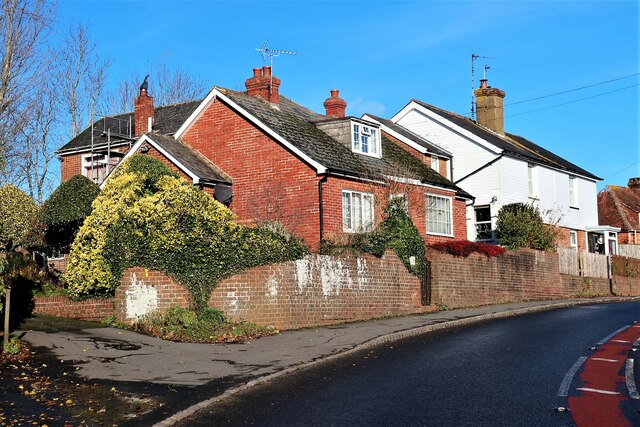
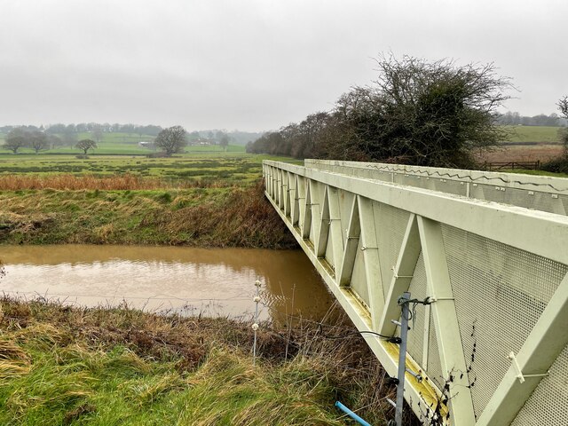
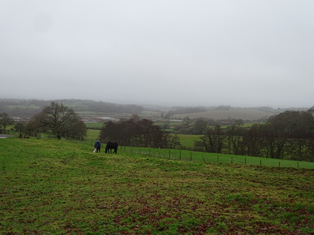
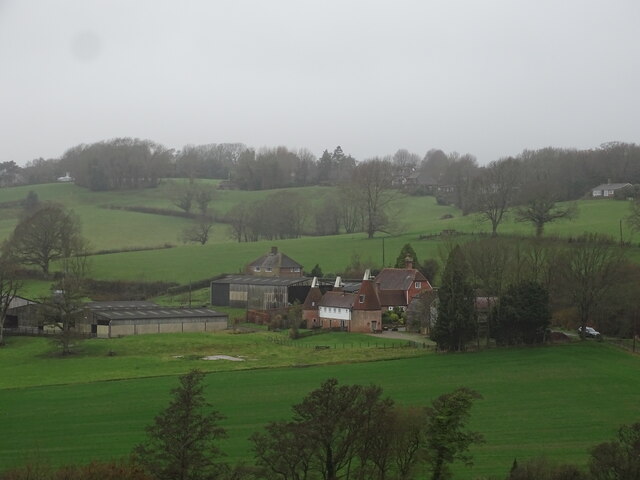
Alder Shaw is a small village located in the county of Sussex, in the southern part of England. Situated amidst a dense and picturesque wood, the village is surrounded by a serene and peaceful forest, which adds to its charm and natural beauty. The name "Alder Shaw" is derived from the abundance of alder trees that can be found in the area.
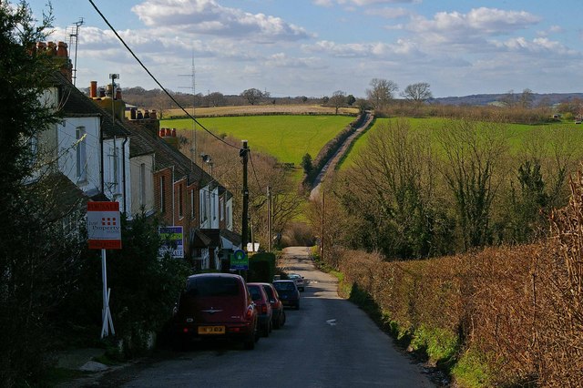
The village itself is home to a tight-knit community of residents, many of whom have lived in Alder Shaw for generations. The village has a quaint and idyllic atmosphere, with traditional cottages and buildings that showcase the area's rich history and heritage. The residents take great pride in maintaining the village's character and preserving its rural charm.
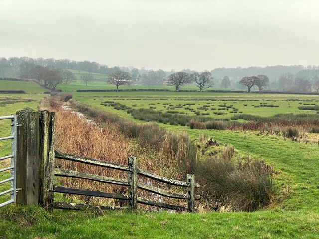
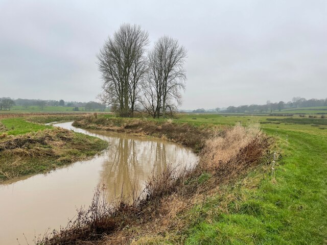
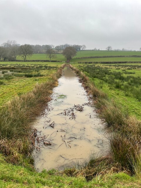
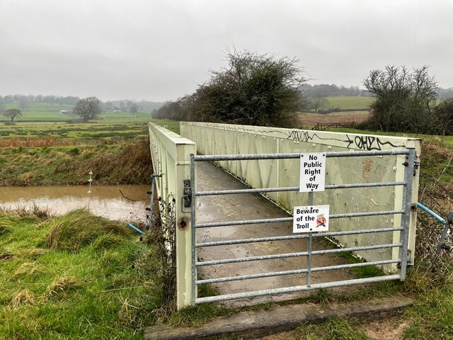
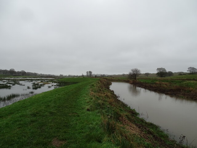
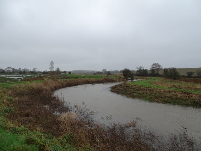
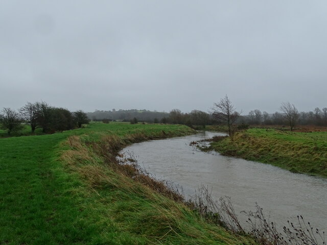
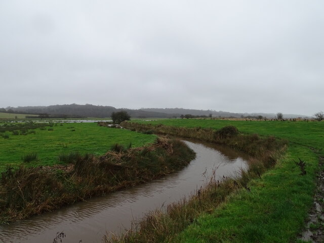
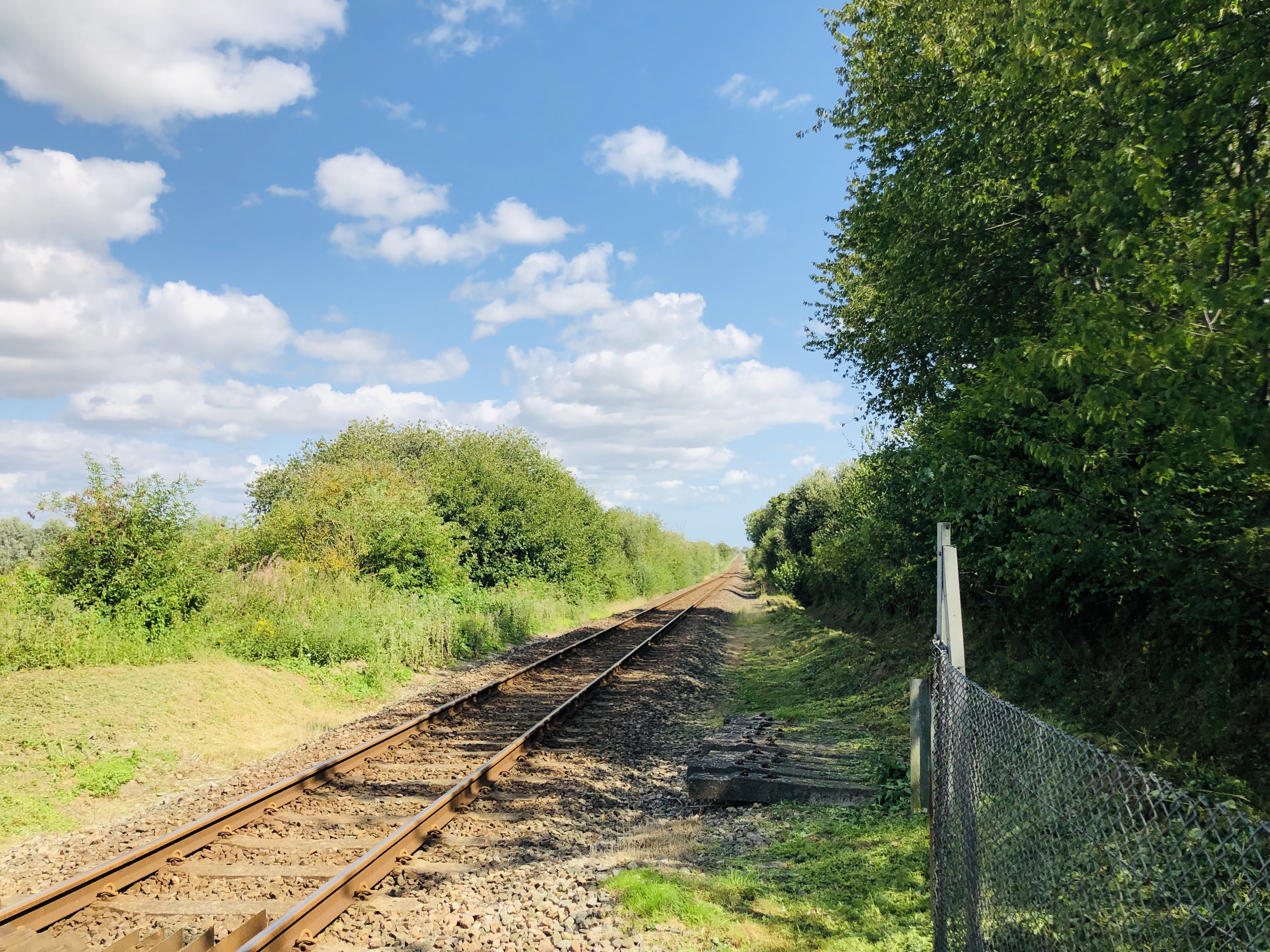
Alder Shaw is known for its stunning natural surroundings, which attract visitors from far and wide. The forest that envelops the village offers numerous walking trails and paths, providing ample opportunities for outdoor activities such as hiking, cycling, and nature exploration. The dense foliage is a haven for wildlife, and visitors may catch glimpses of various species of birds, mammals, and plant life.
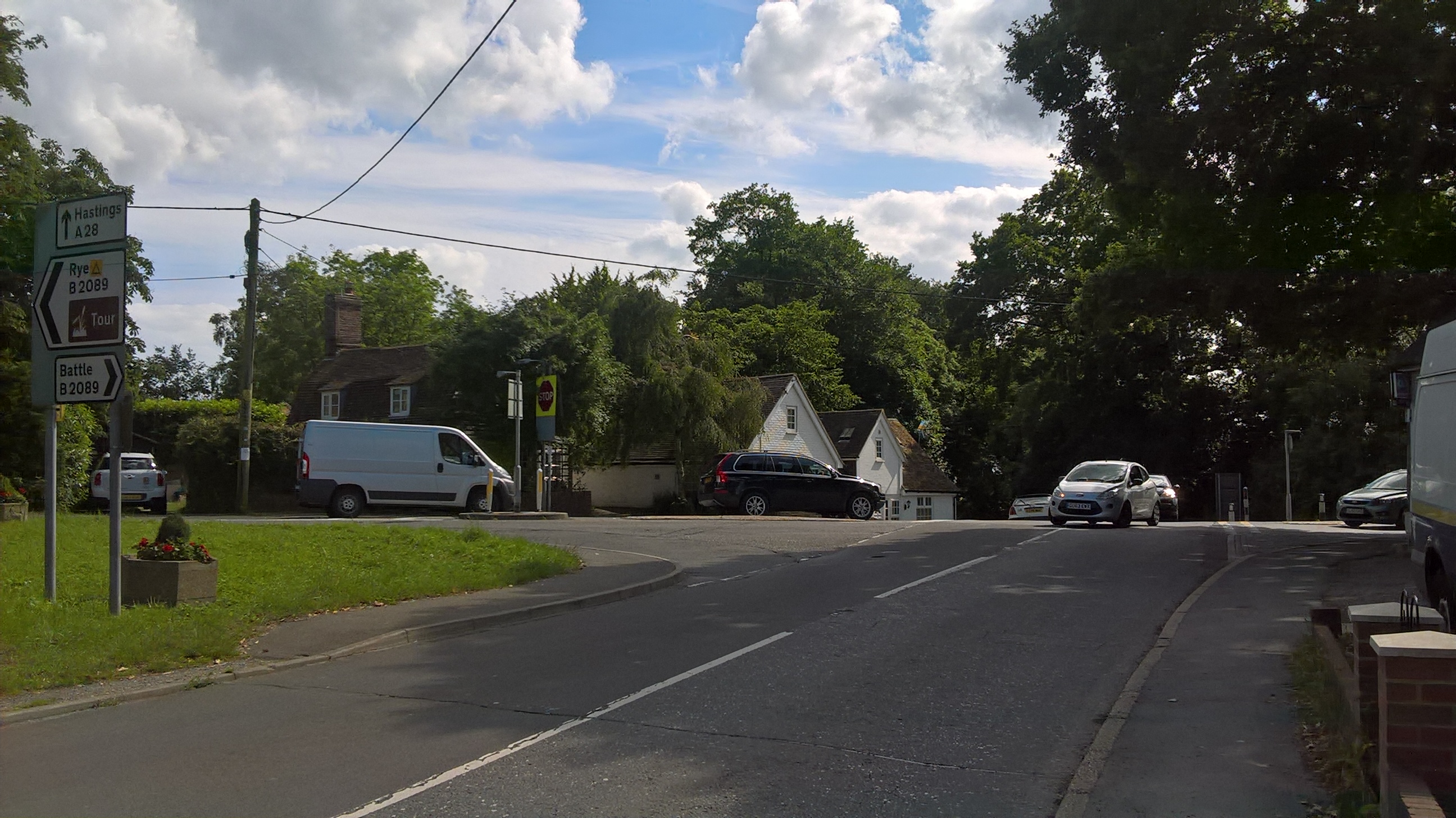
Despite its small size, Alder Shaw has a strong sense of community and offers a range of amenities for its residents. The village has a local pub, a village hall that hosts various events and gatherings, and a small grocery store that caters to the daily needs of the residents.
In conclusion, Alder Shaw is a picturesque village nestled within a forested area of Sussex. With its natural beauty, rich history, and tight-knit community, it is a hidden gem that offers a peaceful retreat for both residents and visitors alike.
If you have any feedback on the listing, please let us know in the comments section below.
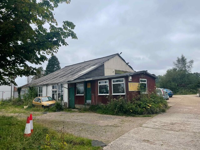
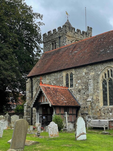
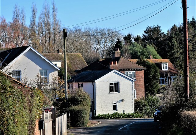
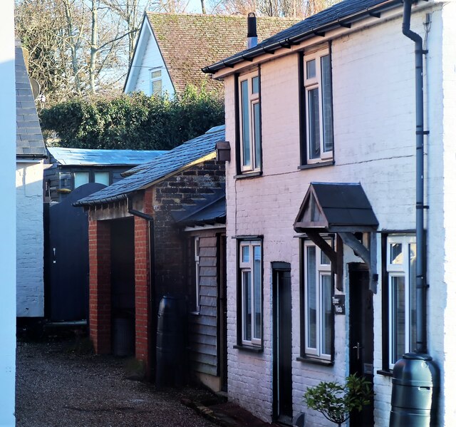
Alder Shaw Images
Images are sourced within 2km of 50.93133/0.61165612 or Grid Reference TQ8317. Thanks to Geograph Open Source API. All images are credited.
Alder Shaw is located at Grid Ref: TQ8317 (Lat: 50.93133, Lng: 0.61165612)
Administrative County: East Sussex
District: Rother
Police Authority: Sussex
What 3 Words
///pursue.saddens.hopefully. Near Fairlight, East Sussex
Nearby Locations
Related Wikis

Brede Pit and Cutting
Brede Pit and Cutting is a 0.6-hectare (1.5-acre) geological Site of Special Scientific Interest in Brede in East Sussex. It is a Geological Conservation...

Brede, East Sussex
Brede is a village and civil parish in the Rother district of East Sussex, England. It is located eight miles (13 km) north of Hastings and four miles...
Doleham
Doleham is a small hamlet in East Sussex, England. The hamlet consists of only a handful of houses, and takes its name from Doleham Farm. The area is popular...

Doleham railway station
Doleham railway station is a small, single-platform wayside halt in Doleham, East Sussex, England. It is on the Marshlink line, and train services are...
Broad Oak, Rother
Broad Oak is a small village in the Rother district, in eastern East Sussex, England, referred to also as Broad Oak Brede, as there is a village with the...

Brede Waterworks
Brede Waterworks (grid reference TQ 813 178) is a waterworks at Brede, East Sussex, England. It was built to supply Hastings with drinking water. The waterworks...
Snailham Halt railway station
Snailham Halt railway station was on the South Eastern Railway's route between Ashford and Hastings, nowadays known as the Marshlink Line. It opened in...

Westfield, East Sussex
Westfield is a village and civil parish in the Rother district of East Sussex. It is one of the largest villages in the area with a population of around...
Nearby Amenities
Located within 500m of 50.93133,0.61165612Have you been to Alder Shaw?
Leave your review of Alder Shaw below (or comments, questions and feedback).