Attadale
Settlement in Ross-shire
Scotland
Attadale

Attadale, located in Ross-shire, Scotland, is a small and picturesque village nestled in the Scottish Highlands. Situated on the eastern shore of Loch Carron, it offers stunning views of the surrounding mountains and the tranquil waters of the loch. The village is approximately 70 miles northwest of Inverness, making it an ideal destination for those seeking a peaceful retreat in the heart of nature.
Attadale is known for its lush and diverse landscape, with dense forests, rolling hills, and a plethora of wildlife. The Attadale Gardens, a prominent attraction in the area, showcase the beauty of the Scottish flora. Spanning over 20 acres, these gardens feature a wide variety of plants, including rhododendrons, azaleas, and camellias. Visitors can meander through winding paths, cross picturesque bridges, and enjoy the serene atmosphere.
The village also boasts a rich history, with evidence of ancient settlements in the area dating back thousands of years. The Attadale Estate, a historic property that has been in the same family for over 500 years, offers a glimpse into the region's past. The estate includes a grand Victorian mansion, which is still privately owned, and offers self-catering accommodation for visitors.
For outdoor enthusiasts, Attadale offers ample opportunities for hiking, fishing, and wildlife spotting. The surrounding mountains, such as Beinn Alligin and Liathach, are popular among hikers and climbers, while the loch provides opportunities for anglers to catch trout and salmon. Wildlife enthusiasts can spot red deer, golden eagles, otters, and seals in their natural habitat.
In summary, Attadale is a charming village in Ross-shire, Scotland, that offers breathtaking natural beauty, historic landmarks, and outdoor recreational activities. It is a place where visitors can immerse themselves in the tranquility of the Scottish Highlands and marvel at the wonders of nature.
If you have any feedback on the listing, please let us know in the comments section below.
Attadale Images
Images are sourced within 2km of 57.393537/-5.448926 or Grid Reference NG9238. Thanks to Geograph Open Source API. All images are credited.


Attadale is located at Grid Ref: NG9238 (Lat: 57.393537, Lng: -5.448926)
Unitary Authority: Highland
Police Authority: Highlands and Islands
What 3 Words
///beaters.feasts.autumn. Near Lochcarron, Highland
Nearby Locations
Related Wikis
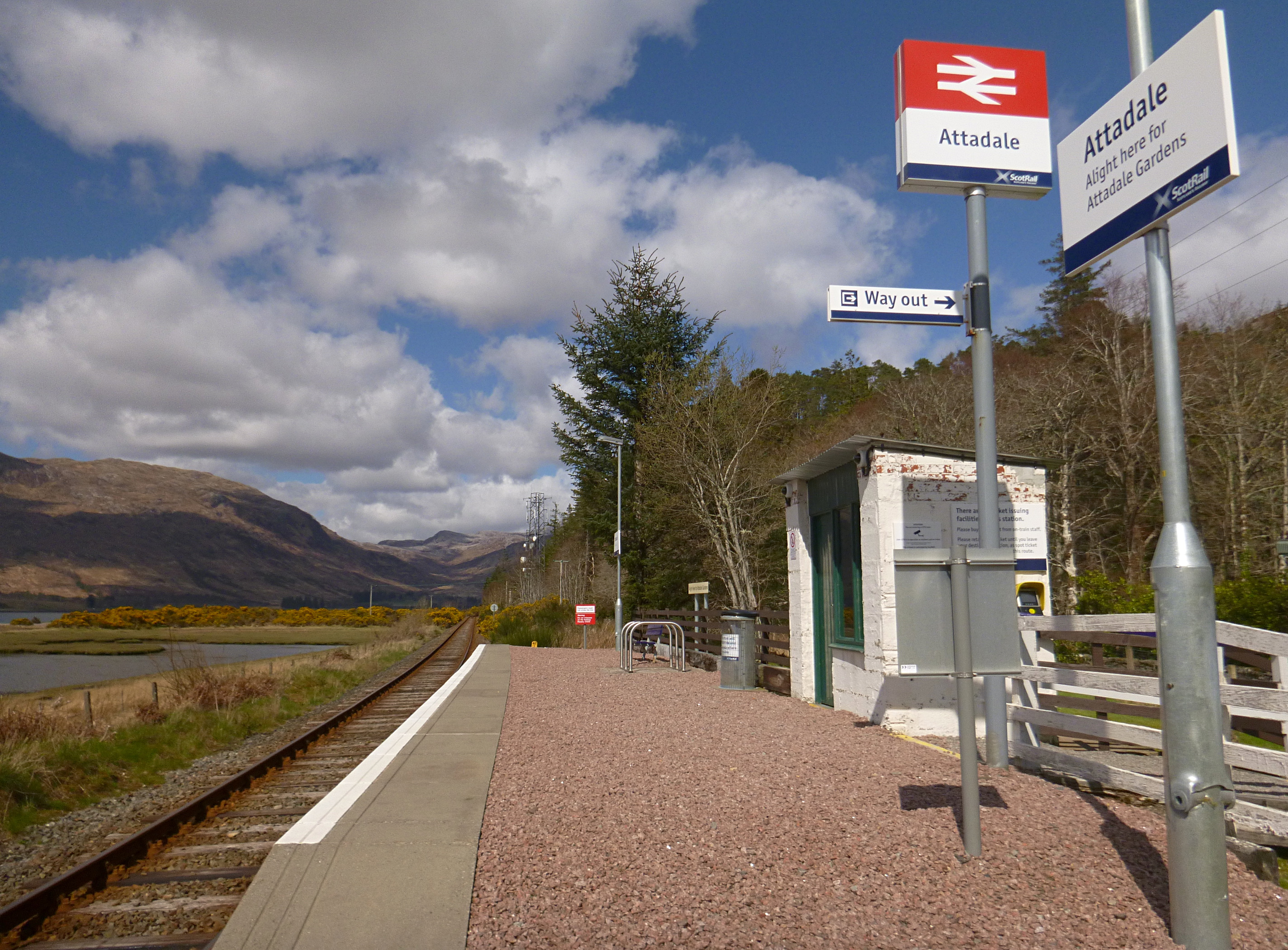
Attadale railway station
Attadale railway station is a remote railway station on the Kyle of Lochalsh Line, serving the village of Attadale on Loch Carron in the Highlands, northern...

Attadale, Scotland
Attadale (Gaelic: Attadal ) is a settlement and estate in Wester Ross, in the Highland council area of Scotland. It is on the southern shore of Loch Carron...

Lochcarron
Lochcarron (Scottish Gaelic: Loch Carrann) is a village, community and civil parish in the Wester Ross area of Highland, Scotland. It has a population...

Strathcarron railway station
Strathcarron railway station is a remote railway station on the Kyle of Lochalsh Line, serving the small village of Strathcarron and the larger village...
Nearby Amenities
Located within 500m of 57.393537,-5.448926Have you been to Attadale?
Leave your review of Attadale below (or comments, questions and feedback).