Syer's Belt
Wood, Forest in Suffolk West Suffolk
England
Syer's Belt
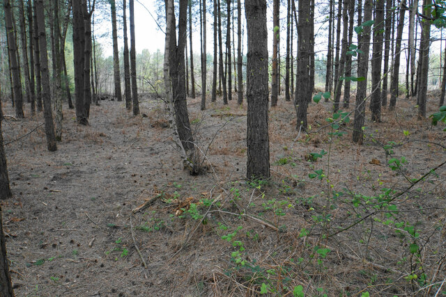
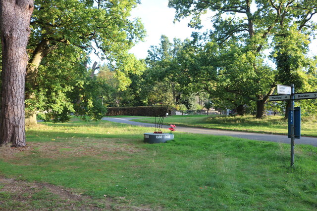
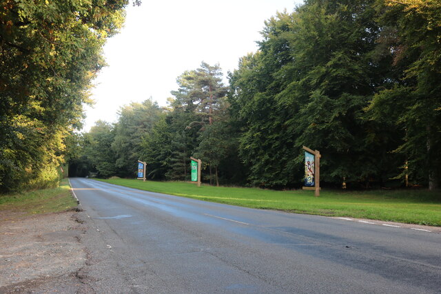
Syer's Belt, Suffolk, is a picturesque woodland area located in the eastern part of England. Stretching over an area of approximately 100 acres, it is a captivating forest that offers a tranquil escape from the bustling city life. The forest is nestled within the beautiful Suffolk countryside, known for its rolling hills, rich agricultural landscapes, and charming villages.
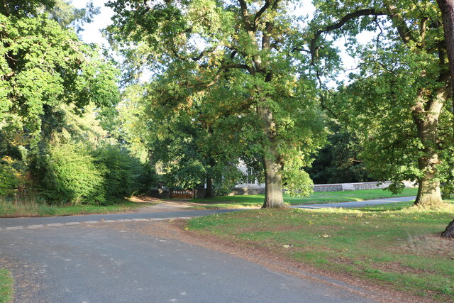
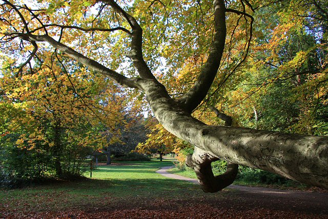
Syer's Belt is predominantly composed of deciduous trees, such as oak, beech, and ash, creating a dense canopy that provides shade during the summer months and a vibrant display of colors during the autumn season. The forest floor is covered in a lush carpet of moss, ferns, and wildflowers, creating a serene and enchanting atmosphere.
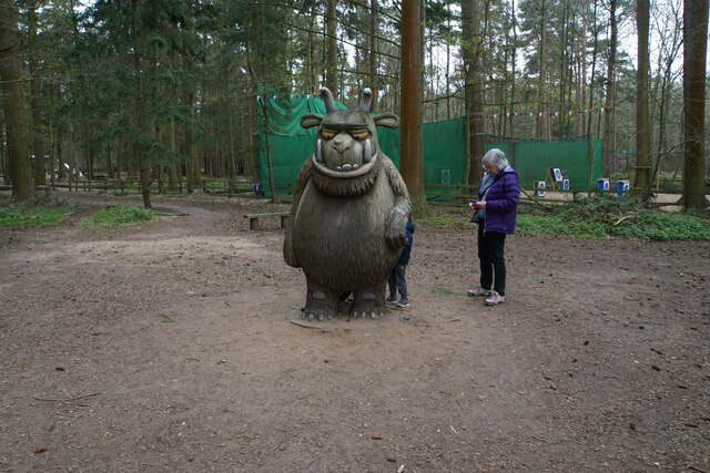
The woodland is home to a diverse range of wildlife, including deer, foxes, badgers, and various species of birds. Nature enthusiasts and birdwatchers will be delighted by the opportunity to spot rare and migratory birds that frequent the area.
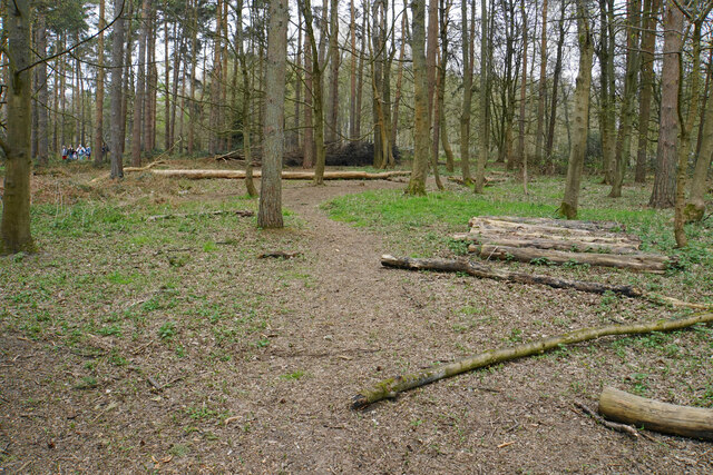
Visitors to Syer's Belt can enjoy a variety of recreational activities, including walking, hiking, and cycling. Several well-marked trails and paths wind through the forest, allowing visitors to explore its beauty at their own pace. The forest also offers designated picnic areas and benches, providing the perfect spot to relax and immerse oneself in nature.
Syer's Belt is a popular destination for both locals and tourists seeking solace and a connection with the natural world. Its serene ambiance and abundant wildlife make it a truly remarkable woodland area in Suffolk.
If you have any feedback on the listing, please let us know in the comments section below.
Syer's Belt Images
Images are sourced within 2km of 52.441386/0.67782442 or Grid Reference TL8285. Thanks to Geograph Open Source API. All images are credited.


Syer's Belt is located at Grid Ref: TL8285 (Lat: 52.441386, Lng: 0.67782442)
Administrative County: Suffolk
District: West Suffolk
Police Authority: Suffolk
What 3 Words
///cement.prepped.public. Near Weeting, Norfolk
Nearby Locations
Related Wikis
Santon, Norfolk
Santon is a depopulated village located near Santon Downham in Norfolk, England. Moated earthworks and other remains of the medieval village are a scheduled...

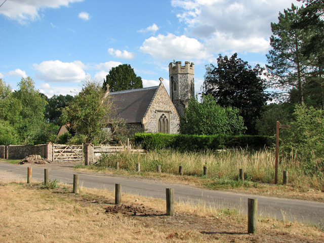
Santon Downham
Santon Downham is a village and civil parish in the West Suffolk district of Suffolk in eastern England. In 2005 it had a population of 240. The village...

St Helen's Church, Santon
St Helen's Church was a church located near Santon, Norfolk, England. Its site is a scheduled monument. It was no longer in existence by 1368.The church...

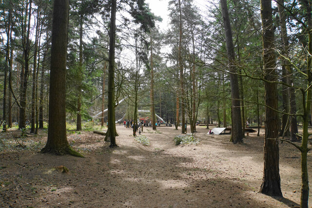
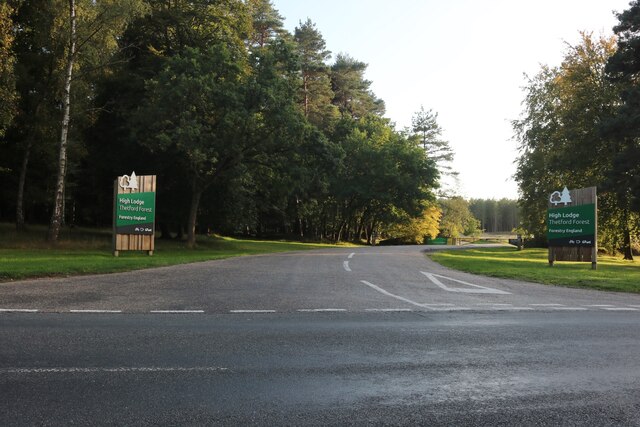
Thetford Forest
Thetford Forest is the largest lowland pine forest in Britain and is located in a region straddling the north of Suffolk and the south of Norfolk in England...

Thetford Golf Course and Marsh
Thetford Golf Course and Marsh is a 122.3-hectare (302-acre) biological Site of Special Scientific Interest on the western outskirts of Thetford in Norfolk...

Brandon, Suffolk
Brandon is a town and civil parish in the English county of Suffolk. Brandon is located in the Breckland area of Suffolk, close to the adjoining county...
Brandon Country Park
Brandon Country Park is a country park in Brandon, Suffolk, England. == History == In 1820 Edward Bliss bought Brandon Park house and grounds using wealth...
Grime's Graves
Grime's Graves is a large Neolithic flint mining complex in Norfolk, England. It lies 8 km (5.0 mi) north east from Brandon, Suffolk in the East of England...
Nearby Amenities
Located within 500m of 52.441386,0.67782442Have you been to Syer's Belt?
Leave your review of Syer's Belt below (or comments, questions and feedback).