Lownage Wood
Wood, Forest in Suffolk Babergh
England
Lownage Wood
Lownage Wood is a picturesque forest located in the county of Suffolk, England. Covering an area of approximately 400 acres, it is a charming woodland that captivates visitors with its natural beauty and serene atmosphere. The wood is situated near the village of Lownage, hence its name, and it is easily accessible by both car and foot.
Upon entering Lownage Wood, visitors are greeted by a diverse range of flora and fauna. The forest is predominantly composed of deciduous trees such as oak, birch, and beech, which create a stunning canopy that provides shade and shelter to the woodland floor. The vibrant colors of wildflowers and ferns add a touch of vibrancy to the forest, especially during the spring and summer months.
Lownage Wood is also home to a variety of wildlife species. Keen-eyed visitors may spot deer, rabbits, and squirrels roaming freely amidst the trees. Birdwatchers will delight in the opportunity to spot various avian species, including woodpeckers, owls, and warblers, which nest and forage within the forest.
For nature enthusiasts and hikers, Lownage Wood offers a network of well-maintained trails that meander through the forest. These trails provide visitors with the chance to explore the wood at their own pace, immersing themselves in the tranquility and natural splendor of the surroundings.
Lownage Wood is a true gem of Suffolk, offering a peaceful retreat for those seeking solace in nature. Whether it's a leisurely walk, a picnic under the trees, or simply taking in the sights and sounds of the forest, Lownage Wood provides an enchanting experience for all who visit.
If you have any feedback on the listing, please let us know in the comments section below.
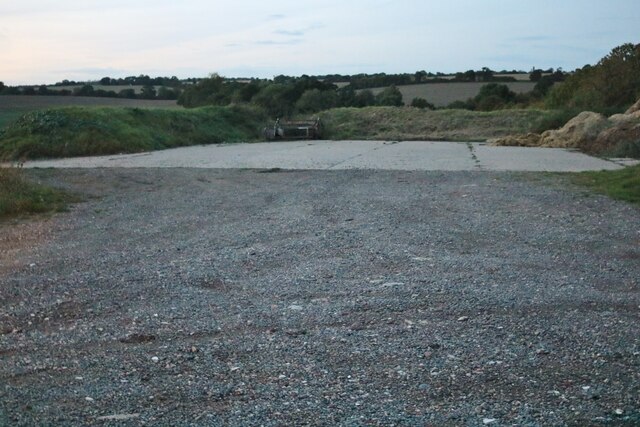
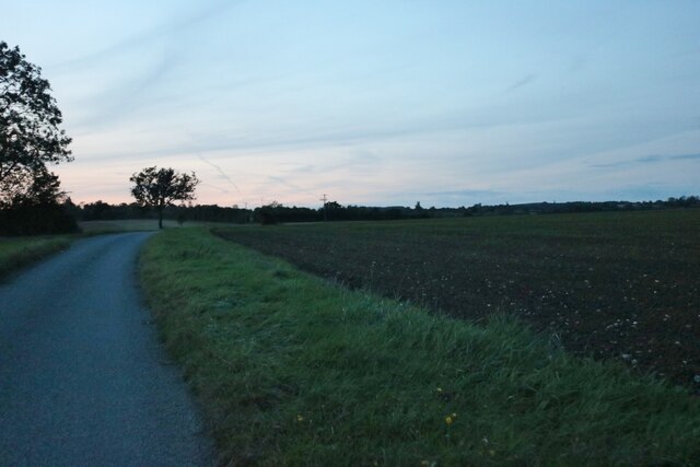
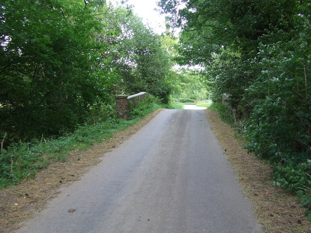
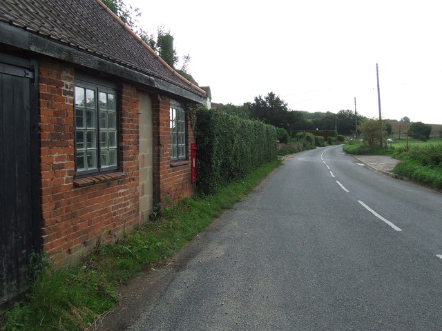
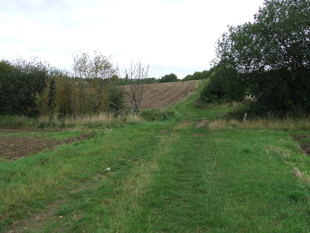
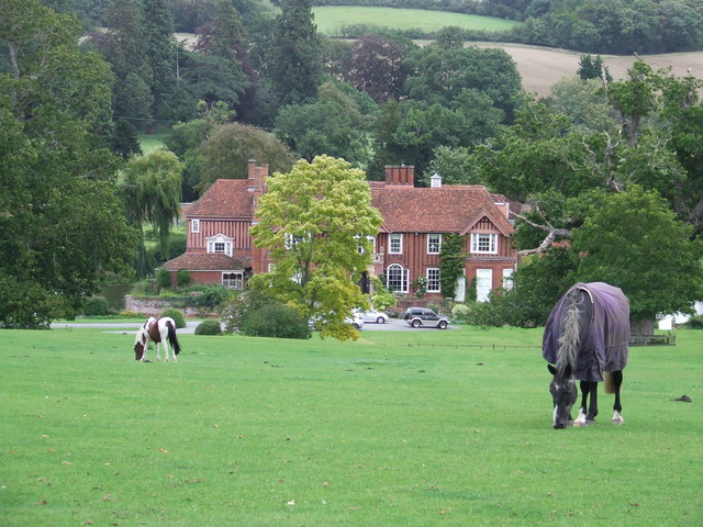
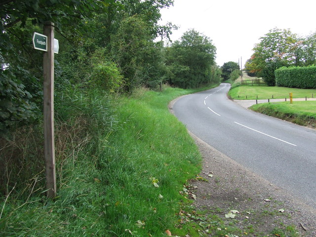
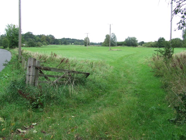
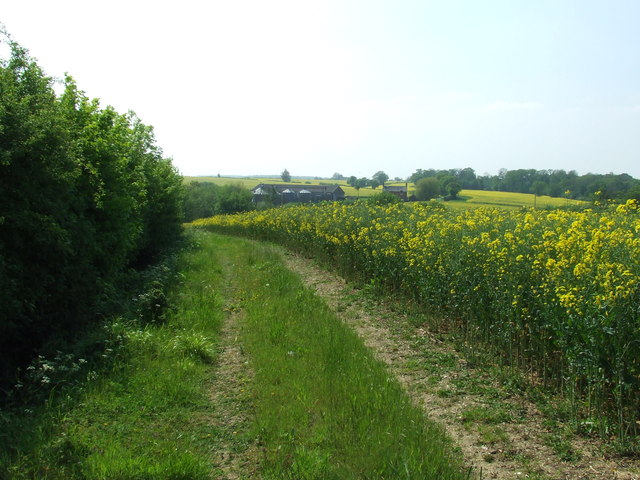
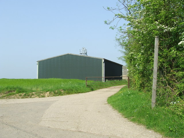
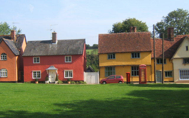
Lownage Wood Images
Images are sourced within 2km of 52.124721/0.65532872 or Grid Reference TL8150. Thanks to Geograph Open Source API. All images are credited.


Lownage Wood is located at Grid Ref: TL8150 (Lat: 52.124721, Lng: 0.65532872)
Administrative County: Suffolk
District: Babergh
Police Authority: Suffolk
What 3 Words
///lobby.tripods.factored. Near Glemsford, Suffolk
Nearby Locations
Related Wikis

Boxted, Suffolk
Boxted is a village and civil parish in the Babergh district of Suffolk, England. Located around 8 miles (13 km) north of Sudbury, in 2005 it had a population...
Hartest
Hartest is a small village and civil parish in the Babergh district of the English county of Suffolk. It is located halfway between Bury St. Edmunds and...

Somerton, Suffolk
Somerton is a civil parish in the Babergh district of Suffolk in eastern England. Somerton is split into two smaller villages: Upper Somerton with a population...

Glemsford
Glemsford is a village in the Babergh district in Suffolk, England, near the town of Sudbury. Glemsford is located near the River Glem and the River Stour...
Nearby Amenities
Located within 500m of 52.124721,0.65532872Have you been to Lownage Wood?
Leave your review of Lownage Wood below (or comments, questions and feedback).