Park Wood
Wood, Forest in Suffolk Babergh
England
Park Wood
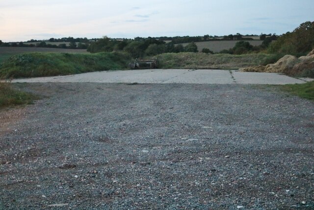
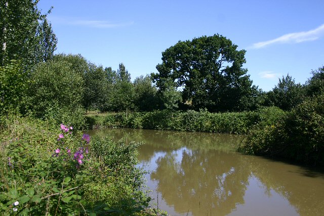
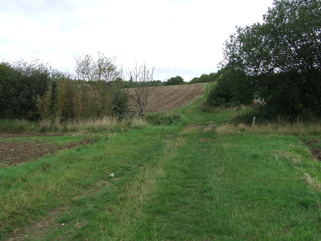
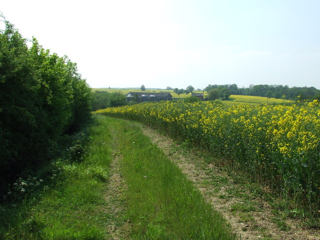
Park Wood is a picturesque forest located in Suffolk, England. Spread across an area of approximately 50 hectares, the wood is a haven for nature enthusiasts and offers a tranquil escape from the bustling city life. The woodland is primarily composed of a mixture of broadleaf trees, including oak, birch, and beech, creating a diverse and vibrant ecosystem.
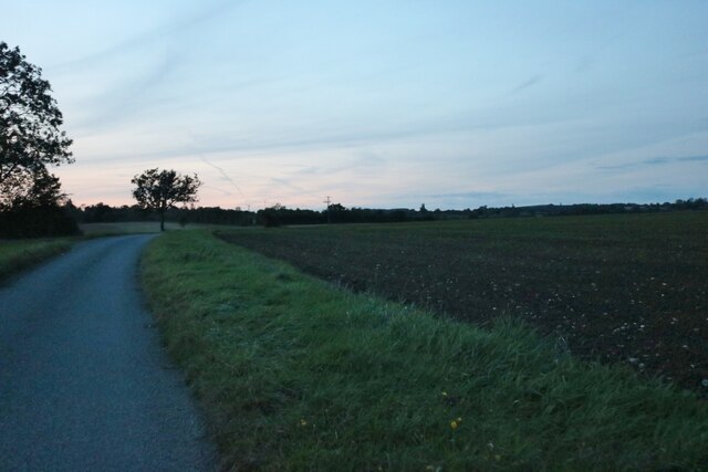
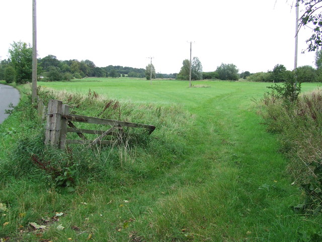
As visitors venture into Park Wood, they are greeted by a well-maintained network of footpaths and trails, allowing them to explore the wood at their own pace. The paths wind through the dense foliage, providing opportunities to spot various species of birds, butterflies, and other wildlife that call the wood their home. It is not uncommon to encounter rabbits, squirrels, and even deer during a walk through the wood.
The wood is known for its rich biodiversity, and efforts have been made to preserve and protect the native flora and fauna. The Suffolk Wildlife Trust actively manages the wood, ensuring its continued wellbeing. Throughout the year, the wood undergoes various stages of growth and transformation, with vibrant bluebells carpeting the forest floor in spring and golden hues adorning the leaves in autumn.
In addition to its natural beauty, Park Wood also offers picnic areas and benches for visitors to relax and enjoy the peaceful surroundings. The wood attracts visitors of all ages, from families seeking a day out in nature to individuals looking for a peaceful retreat.
Overall, Park Wood in Suffolk is a stunning forest that showcases the beauty of nature and provides a serene setting for visitors to reconnect with the outdoors.
If you have any feedback on the listing, please let us know in the comments section below.
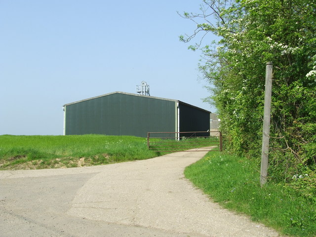
Park Wood Images
Images are sourced within 2km of 52.126334/0.65158194 or Grid Reference TL8150. Thanks to Geograph Open Source API. All images are credited.


Park Wood is located at Grid Ref: TL8150 (Lat: 52.126334, Lng: 0.65158194)
Administrative County: Suffolk
District: Babergh
Police Authority: Suffolk
What 3 Words
///seaside.navigate.shun. Near Glemsford, Suffolk
Nearby Locations
Related Wikis

Boxted, Suffolk
Boxted is a village and civil parish in the Babergh district of Suffolk, England. Located around 8 miles (13 km) north of Sudbury, in 2005 it had a population...

Somerton, Suffolk
Somerton is a civil parish in the Babergh district of Suffolk in eastern England. Somerton is split into two smaller villages: Upper Somerton with a population...
Hartest
Hartest is a small village and civil parish in the Babergh district of the English county of Suffolk. It is located halfway between Bury St. Edmunds and...
Hawkedon
Hawkedon is a village and civil parish in the West Suffolk district of Suffolk in eastern England. Located around 7 miles (11 km) south-south-west of Bury...

Glemsford
Glemsford is a village in the Babergh district in Suffolk, England, near the town of Sudbury. Glemsford is located near the River Glem and the River Stour...

Stansfield
Stansfield is a village and civil parish in the West Suffolk district of Suffolk in eastern England. Located seven miles south-west of Bury St Edmunds...

Cavendish Woods
Cavendish Woods is a 53.5-hectare (132-acre) biological Site of Special Scientific Interest north-west of Glemsford in Suffolk.These ancient woods are...
Stansfield Windmill
Stansfield Mill is a Grade II listed tower mill at Stansfield, Suffolk, England which is derelict. == History == Stansfield Mill was built in 1840, replacing...
Nearby Amenities
Located within 500m of 52.126334,0.65158194Have you been to Park Wood?
Leave your review of Park Wood below (or comments, questions and feedback).