Flagg
Settlement in Derbyshire Derbyshire Dales
England
Flagg

Flagg is a small village located in the county of Derbyshire, England. Situated in the Peak District National Park, it is nestled in the heart of picturesque countryside, offering residents and visitors stunning views and a tranquil environment. The village is located approximately 6 miles southwest of the market town of Buxton.
Flagg is known for its traditional charm and rural character. It consists of a small cluster of stone-built houses and cottages, which date back to the 18th and 19th centuries. The village is surrounded by rolling hills, lush green fields, and meandering streams, making it a popular destination for nature lovers and outdoor enthusiasts.
The village is home to a close-knit community, with a population of around 200 residents. It has a strong sense of community spirit, with regular events and activities organized by local groups and organizations. The village also has a village hall, which serves as a hub for social gatherings and community events.
For those seeking outdoor adventure, Flagg offers easy access to a variety of walking trails and cycling routes. The nearby Peak District National Park provides ample opportunities for hiking, rock climbing, and exploring the beautiful countryside.
Although Flagg is a small village, it benefits from its proximity to larger towns such as Buxton and Bakewell, which offer a wider range of amenities including shops, schools, and healthcare facilities. Overall, Flagg provides a peaceful and idyllic setting for those looking to escape the hustle and bustle of city life and immerse themselves in the natural beauty of the Peak District.
If you have any feedback on the listing, please let us know in the comments section below.
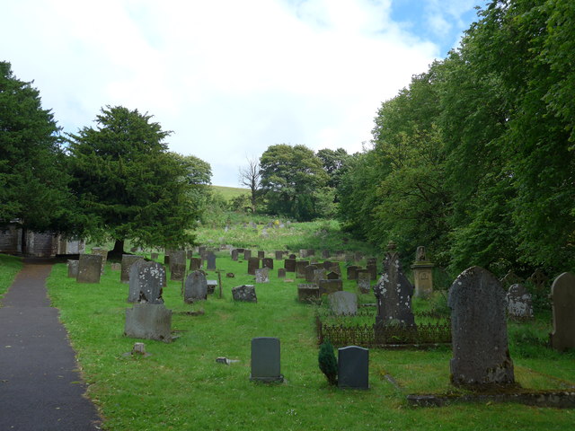
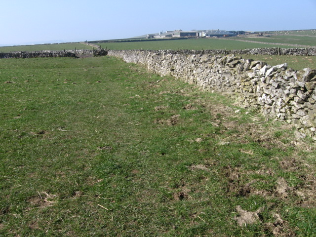
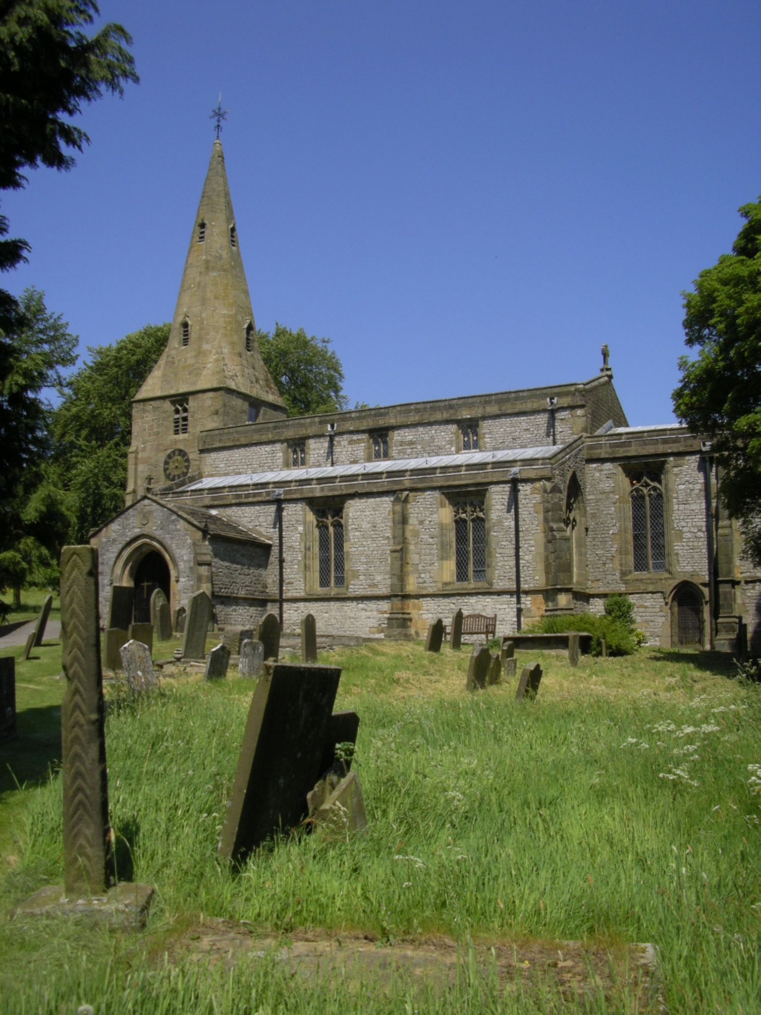
Flagg Images
Images are sourced within 2km of 53.217696/-1.807269 or Grid Reference SK1268. Thanks to Geograph Open Source API. All images are credited.


Flagg is located at Grid Ref: SK1268 (Lat: 53.217696, Lng: -1.807269)
Administrative County: Derbyshire
District: Derbyshire Dales
Police Authority: Derbyshire
What 3 Words
///trespass.earlobes.towels. Near Tideswell, Derbyshire
Nearby Locations
Related Wikis

Flagg, Derbyshire
Flagg (Old Norse A sod of peat) is a small Peak District village and civil parish, set in the Derbyshire Dales, halfway between the small market town...
Taddington Moor
Taddington Moor is a limestone hill between the villages of Taddington, Flagg and Chelmorton in the Derbyshire Peak District. The moor is an upland farming...

Chelmorton
Chelmorton is a village and a civil parish in Derbyshire, England. It is in the Derbyshire Dales district and the nearest towns are Buxton to the northwest...

White Peak
The White Peak, also known as the Low Peak, is a limestone plateau that forms the central and southern part of the Peak District in England. It is mostly...
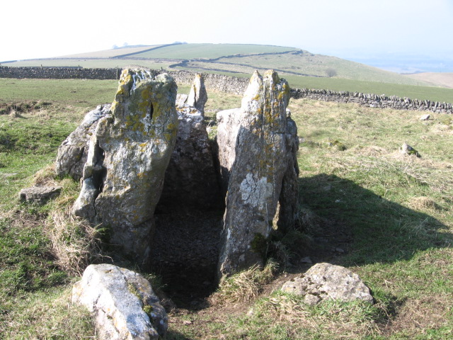
Five Wells
Five Wells is a Neolithic chambered tomb between the villages of Chelmorton and Taddington on Taddington Moor in the Derbyshire Peak District in England...
Taddington
Taddington is a village and civil parish in Derbyshire, England. The population of the civil parish, together with neighbouring Blackwell in the Peak and...

Calton Hill, Derbyshire
Calton Hill is a Site of Special Scientific Interest in Derbyshire, England, showing Olivine Diorite magma chamber.It is the site of an extinct volcano...

Hurdlow railway station
Hurdlow railway station was near to the hamlet of Hurdlow within Hartington Middle Quarter civil parish, to the south east of Buxton, Derbyshire on the...
Nearby Amenities
Located within 500m of 53.217696,-1.807269Have you been to Flagg?
Leave your review of Flagg below (or comments, questions and feedback).