Fladdabister

Settlement in Shetland

Scotland

Fladdabister

Ukinsetter, Fladdabister, from the air
Ukinsetter, Fladdabister, from the air Credit: Mike Pennington

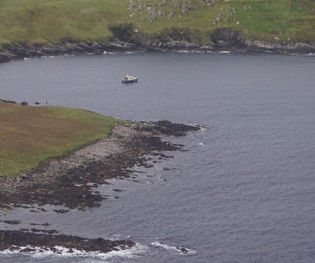
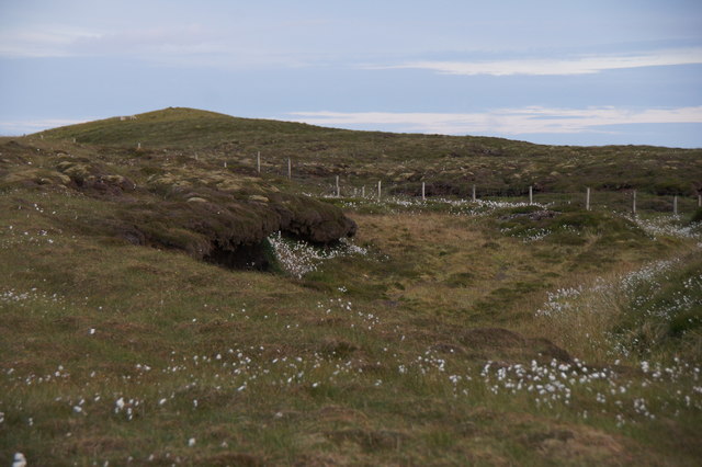
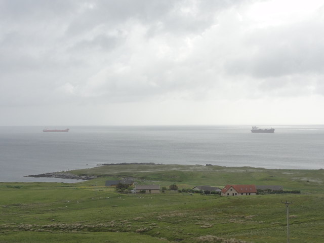
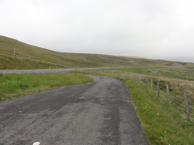
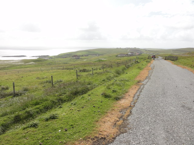
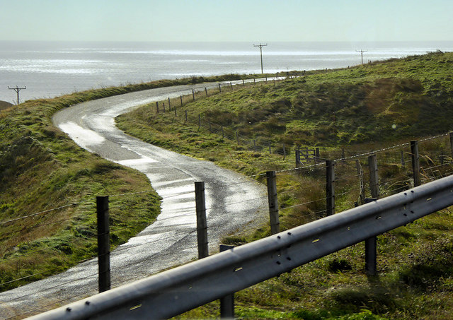
Fladdabister is a small village located on the island of Mainland in the Shetland archipelago, which lies off the northeastern coast of Scotland. Situated on the southern coast of the island, Fladdabister is a picturesque settlement known for its stunning coastal scenery and rugged landscapes.

The village is home to a close-knit community, with a population of around 150 residents. Fladdabister offers a peaceful and tranquil environment, making it an ideal retreat for those seeking to escape the hustle and bustle of city life. The village is characterized by its traditional stone houses, many of which have been well-preserved, adding to the charm and authenticity of the area.

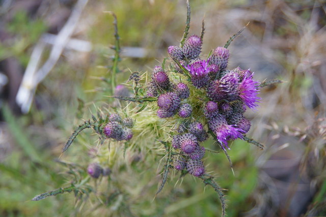
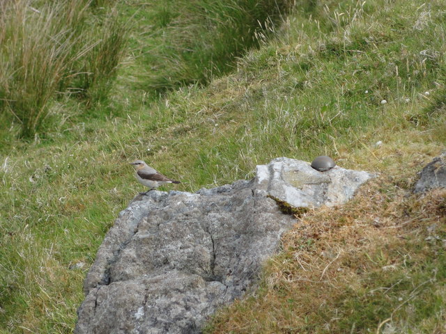
Fladdabister is situated near several notable landmarks, such as the impressive cliffs of Sumburgh Head and the ancient archaeological site of Jarlshof, both of which attract visitors from far and wide. The surrounding area offers numerous opportunities for outdoor activities, including hiking, bird-watching, and fishing.

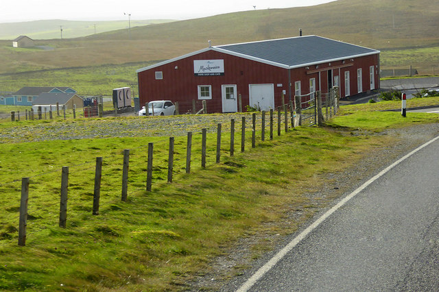
Despite its small size, Fladdabister boasts a strong sense of community and is home to a number of local amenities. These include a primary school, a community hall, and a small convenience store. The village's location also provides easy access to nearby towns and villages, allowing residents to access a wider range of services and facilities.

In summary, Fladdabister is a charming and idyllic village situated on the southern coast of Mainland, Shetland. With its stunning natural beauty, friendly community, and proximity to notable landmarks, it offers a unique and peaceful living experience for its residents.

If you have any feedback on the listing, please let us know in the comments section below.
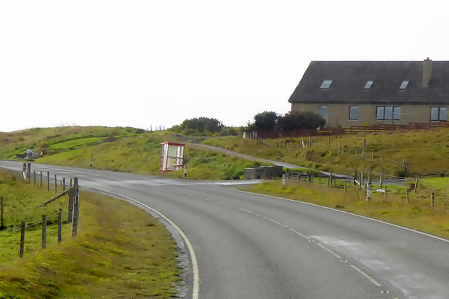
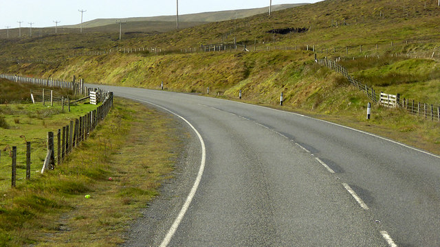
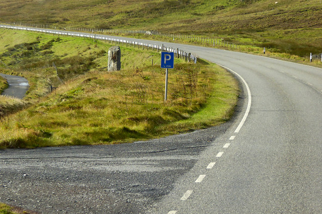
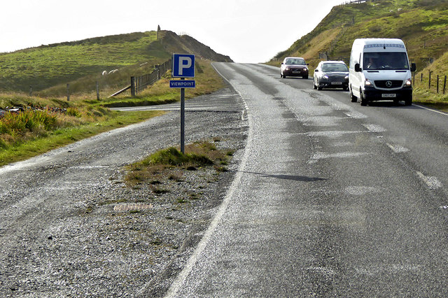
Fladdabister Images

Images are sourced within 2km of 60.078482/-1.226506 or Grid Reference HU4332. Thanks to Geograph Open Source API. All images are credited.

Ukinsetter, Fladdabister, from the air
Bay of Fladdabister from the air
Quarff Leog between Quarff and Fladdabister
Marsh Thistle (Cirsium palustre), Quarff The densely packed flowerheads, and tallness, help distinguish this from other thistles.
Marsh Thistle (Cirsium palustre), Quarff
The densely packed flowerheads, and tallness, help distinguish this from other thistles.
Bay of Fladdabister Bay of Fladdabister with cargo ships passing the coastline
Bay of Fladdabister
Bay of Fladdabister with cargo ships passing the coastline
A970 Road A970 road with a lay-by formed out of the old single lane road.
A970 Road
A970 road with a lay-by formed out of the old single lane road.
Abandoned road near Fladdabister Old road no longer used near Fladdabister
Abandoned road near Fladdabister
Old road no longer used near Fladdabister
New OSBM Bolt Ordnance Survey benchmark bolt, described as: NEW OSBM BOLT ROCK 12.3M NE SIDE RD 5.1M SE C STR (67.718m above Lerwick datum, 2nd order, new 1978).
New OSBM Bolt
Ordnance Survey benchmark bolt, described as: NEW OSBM BOLT ROCK 12.3M NE SIDE RD 5.1M SE C STR (67.718m above Lerwick datum, 2nd order, new 1978).
Bus Stop on A970 near Easter Quarff The A970 runs for 71 miles across most of the length of the "Mainland" in the Shetland Islands. It is a good-quality single-carriageway road for most of its route. Travelling from south to north, the road begins at Grutness near Sumburgh Airport and winds around the many hills and inlets passing close to a number of small villages without going through any large ones before Lerwick. After looping around Lerwick, a short spur runs to Scalloway whilst the main route continues northwards towards Brae where it crosses the narrow isthmus of Mavis Grind. At Sandy Lochs the road splits and a four-mile spur goes through Urafirth to Hillswick. The main route continuing to the right towards its northern terminus at Isbister. This last part of the route tends to be narrower with passing places.

<span class="nowrap"><a title="https://www.sabre-roads.org.uk/wiki/index.php?title=A970" rel="nofollow ugc noopener" href="https://www.sabre-roads.org.uk/wiki/index.php?title=A970">Link</a><img style="margin-left:2px;" alt="External link" title="External link - shift click to open in new window" src="https://s1.geograph.org.uk/img/external.png" width="10" height="10"/></span>  SABRE
Bus Stop on A970 near Easter Quarff
The A970 runs for 71 miles across most of the length of the "Mainland" in the Shetland Islands. It is a good-quality single-carriageway road for most of its route. Travelling from south to north, the road begins at Grutness near Sumburgh Airport and winds around the many hills and inlets passing close to a number of small villages without going through any large ones before Lerwick. After looping around Lerwick, a short spur runs to Scalloway whilst the main route continues northwards towards Brae where it crosses the narrow isthmus of Mavis Grind. At Sandy Lochs the road splits and a four-mile spur goes through Urafirth to Hillswick. The main route continuing to the right towards its northern terminus at Isbister. This last part of the route tends to be narrower with passing places. LinkExternal link SABRE
A970 between Quarff and Fladdabister The A970 runs for 71 miles across most of the length of the "Mainland" in the Shetland Islands. It is a good-quality single-carriageway road for most of its route. Travelling from south to north, the road begins at Grutness near Sumburgh Airport and winds around the many hills and inlets passing close to a number of small villages without going through any large ones before Lerwick. After looping around Lerwick, a short spur runs to Scalloway whilst the main route continues northwards towards Brae where it crosses the narrow isthmus of Mavis Grind. At Sandy Lochs the road splits and a four-mile spur goes through Urafirth to Hillswick. The main route continuing to the right towards its northern terminus at Isbister. This last part of the route tends to be narrower with passing places.

<span class="nowrap"><a title="https://www.sabre-roads.org.uk/wiki/index.php?title=A970" rel="nofollow ugc noopener" href="https://www.sabre-roads.org.uk/wiki/index.php?title=A970">Link</a><img style="margin-left:2px;" alt="External link" title="External link - shift click to open in new window" src="https://s1.geograph.org.uk/img/external.png" width="10" height="10"/></span>  SABRE
A970 between Quarff and Fladdabister
The A970 runs for 71 miles across most of the length of the "Mainland" in the Shetland Islands. It is a good-quality single-carriageway road for most of its route. Travelling from south to north, the road begins at Grutness near Sumburgh Airport and winds around the many hills and inlets passing close to a number of small villages without going through any large ones before Lerwick. After looping around Lerwick, a short spur runs to Scalloway whilst the main route continues northwards towards Brae where it crosses the narrow isthmus of Mavis Grind. At Sandy Lochs the road splits and a four-mile spur goes through Urafirth to Hillswick. The main route continuing to the right towards its northern terminus at Isbister. This last part of the route tends to be narrower with passing places. LinkExternal link SABRE
A970 near to Fladdabister The A970 runs for 71 miles across most of the length of the "Mainland" in the Shetland Islands. It is a good-quality single-carriageway road for most of its route. Travelling from south to north, the road begins at Grutness near Sumburgh Airport and winds around the many hills and inlets passing close to a number of small villages without going through any large ones before Lerwick. After looping around Lerwick, a short spur runs to Scalloway whilst the main route continues northwards towards Brae where it crosses the narrow isthmus of Mavis Grind. At Sandy Lochs the road splits and a four-mile spur goes through Urafirth to Hillswick. The main route continuing to the right towards its northern terminus at Isbister. This last part of the route tends to be narrower with passing places.

<span class="nowrap"><a title="https://www.sabre-roads.org.uk/wiki/index.php?title=A970" rel="nofollow ugc noopener" href="https://www.sabre-roads.org.uk/wiki/index.php?title=A970">Link</a><img style="margin-left:2px;" alt="External link" title="External link - shift click to open in new window" src="https://s1.geograph.org.uk/img/external.png" width="10" height="10"/></span>  SABRE
A970 near to Fladdabister
The A970 runs for 71 miles across most of the length of the "Mainland" in the Shetland Islands. It is a good-quality single-carriageway road for most of its route. Travelling from south to north, the road begins at Grutness near Sumburgh Airport and winds around the many hills and inlets passing close to a number of small villages without going through any large ones before Lerwick. After looping around Lerwick, a short spur runs to Scalloway whilst the main route continues northwards towards Brae where it crosses the narrow isthmus of Mavis Grind. At Sandy Lochs the road splits and a four-mile spur goes through Urafirth to Hillswick. The main route continuing to the right towards its northern terminus at Isbister. This last part of the route tends to be narrower with passing places. LinkExternal link SABRE
Parking Place and Viewpoint, A970 near to Ocraquoy The A970 runs for 71 miles across most of the length of the "Mainland" in the Shetland Islands. It is a good-quality single-carriageway road for most of its route. Travelling from south to north, the road begins at Grutness near Sumburgh Airport and winds around the many hills and inlets passing close to a number of small villages without going through any large ones before Lerwick. After looping around Lerwick, a short spur runs to Scalloway whilst the main route continues northwards towards Brae where it crosses the narrow isthmus of Mavis Grind. At Sandy Lochs the road splits and a four-mile spur goes through Urafirth to Hillswick. The main route continuing to the right towards its northern terminus at Isbister. This last part of the route tends to be narrower with passing places.

<span class="nowrap"><a title="https://www.sabre-roads.org.uk/wiki/index.php?title=A970" rel="nofollow ugc noopener" href="https://www.sabre-roads.org.uk/wiki/index.php?title=A970">Link</a><img style="margin-left:2px;" alt="External link" title="External link - shift click to open in new window" src="https://s1.geograph.org.uk/img/external.png" width="10" height="10"/></span>  SABRE
Parking Place and Viewpoint, A970 near to Ocraquoy
The A970 runs for 71 miles across most of the length of the "Mainland" in the Shetland Islands. It is a good-quality single-carriageway road for most of its route. Travelling from south to north, the road begins at Grutness near Sumburgh Airport and winds around the many hills and inlets passing close to a number of small villages without going through any large ones before Lerwick. After looping around Lerwick, a short spur runs to Scalloway whilst the main route continues northwards towards Brae where it crosses the narrow isthmus of Mavis Grind. At Sandy Lochs the road splits and a four-mile spur goes through Urafirth to Hillswick. The main route continuing to the right towards its northern terminus at Isbister. This last part of the route tends to be narrower with passing places. LinkExternal link SABRE
Old Route of the A970 near to Ocraquoy The A970 runs for 71 miles across most of the length of the "Mainland" in the Shetland Islands. It is a good-quality single-carriageway road for most of its route. Travelling from south to north, the road begins at Grutness near Sumburgh Airport and winds around the many hills and inlets passing close to a number of small villages without going through any large ones before Lerwick. After looping around Lerwick, a short spur runs to Scalloway whilst the main route continues northwards towards Brae where it crosses the narrow isthmus of Mavis Grind. At Sandy Lochs the road splits and a four-mile spur goes through Urafirth to Hillswick. The main route continuing to the right towards its northern terminus at Isbister. This last part of the route tends to be narrower with passing places.

<span class="nowrap"><a title="https://www.sabre-roads.org.uk/wiki/index.php?title=A970" rel="nofollow ugc noopener" href="https://www.sabre-roads.org.uk/wiki/index.php?title=A970">Link</a><img style="margin-left:2px;" alt="External link" title="External link - shift click to open in new window" src="https://s1.geograph.org.uk/img/external.png" width="10" height="10"/></span>  SABRE
Old Route of the A970 near to Ocraquoy
The A970 runs for 71 miles across most of the length of the "Mainland" in the Shetland Islands. It is a good-quality single-carriageway road for most of its route. Travelling from south to north, the road begins at Grutness near Sumburgh Airport and winds around the many hills and inlets passing close to a number of small villages without going through any large ones before Lerwick. After looping around Lerwick, a short spur runs to Scalloway whilst the main route continues northwards towards Brae where it crosses the narrow isthmus of Mavis Grind. At Sandy Lochs the road splits and a four-mile spur goes through Urafirth to Hillswick. The main route continuing to the right towards its northern terminus at Isbister. This last part of the route tends to be narrower with passing places. LinkExternal link SABRE
Mackenzies Farm Shop, Ocraquoy
Old Milestone by the former A970, Cunningsburgh North Shetland concrete by the old A970, in parish of Dunrossness (Mainland District), Cunningsburgh North, on East side of old road, visible from the A970.

Inscription reads:-
: G / 16 : : A970 : : L / 10 :
(To Grutness and Lerwick)

Surveyed

Milestone Society National ID: SH_LWSB09
Old Milestone by the former A970, Cunningsburgh North
Shetland concrete by the old A970, in parish of Dunrossness (Mainland District), Cunningsburgh North, on East side of old road, visible from the A970. Inscription reads:- : G / 16 : : A970 : : L / 10 : (To Grutness and Lerwick) Surveyed Milestone Society National ID: SH_LWSB09
Mackenzies Farm Shop and Cafe 'Our café features all the best fresh local ingredients, from beef, lamb, pork, and seafood to our own freshly made jams, chutneys, preserves and sauces.' <span class="nowrap"><a title="http://www.nortowerlodges.co.uk/mackenzies-farm-shop/the-cafe/" rel="nofollow ugc noopener" href="http://www.nortowerlodges.co.uk/mackenzies-farm-shop/the-cafe/">Link</a><img style="margin-left:2px;" alt="External link" title="External link - shift click to open in new window" src="https://s1.geograph.org.uk/img/external.png" width="10" height="10"/></span> 
Conveniently situated on the A970.
Mackenzies Farm Shop and Cafe
'Our café features all the best fresh local ingredients, from beef, lamb, pork, and seafood to our own freshly made jams, chutneys, preserves and sauces.' LinkExternal link Conveniently situated on the A970.
Ukinsetter  Viewed from the cafe and farm shop.
Ukinsetter
Viewed from the cafe and farm shop.
Show me another place!

Fladdabister is located at Grid Ref: HU4332 (Lat: 60.078482, Lng: -1.226506)

Unitary Authority: Shetland Islands

Police Authority: Highlands and Islands

What 3 Words

///haystack.fish.eyelash. Near Scalloway, Shetland Islands

Related Wikis

South Mainland

The South Mainland of the Shetland Islands is the southern peninsula of Mainland island. It lies south of Hellister (60° 14′N). The greater southern part...

Aithsetter

Aithsetter (Old Norse: Eiðseti, meaning "the farm at the isthmus") is a village on the island of Mainland, in Shetland, Scotland. Aithsetter is in the...

Cunningsburgh

Cunningsburgh, formerly also known as Coningsburgh (Old Norse: Konungsborgr meaning "King's castle"), is a new hamlet and ancient parish in the south of...

Quarff

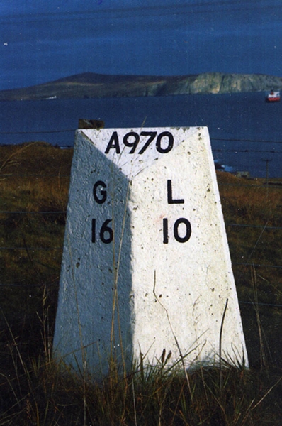
Quarff is a small village on Mainland in the Shetland Islands in Scotland. It is located on the main A970 road, 5 miles (8.0 km) south of Shetland's only...

Bremirehoull

Bremirehoull is a settlement on the island of Mainland, in Shetland, Scotland. Bremirehoull is situated on the A970 in the Cunningsburgh area. == References... ==

Brindister, South Mainland

Brindister is a village on South Mainland in Shetland, Scotland. Brindister is within the parish of Lerwick, and adjacent to the A970 south of Gulberwick...

East Burra

East Burra (Scots: East Burra; Old Norse: "Barrey") is one of the Scalloway Islands, a subgroup of the Shetland Islands in Scotland. It is connected by...

Mail, Shetland

Mail is a hamlet on the island of Mainland, in the Shetland Islands, Scotland. == Geography == Mail is located on the south-eastern side of the island...

Related Videos

Shetland - South Mainland | An archaeological treasure trove

South Mainland, Shetland, is a narrow peninsula running 25 miles south from Lerwick. In this video we explore the archaeological ...

Nearby Amenities

Located within 500m of 60.078482,-1.226506
Fladdabister
Place: hamlet
Lat/Long: 60.0763588/-1.2203389
Post Box
Brand: Royal Mail
Brand Wikidata: Q638098
Operator: Royal Mail
Operator Wikidata: Q638098
Post Box Mounting: pier
Post Box Type: lamp
Ref: ZE2 13
Lat/Long: 60.078434/-1.2292932
Bus Stop
Bus: yes
Public Transport: platform
Shelter: yes
Lat/Long: 60.0786928/-1.2297069
Power: pole
Lat/Long: 60.0763199/-1.2337196
Power: pole
Lat/Long: 60.077124/-1.2338135
Power: pole
Lat/Long: 60.0780713/-1.2339449
Power: pole
Lat/Long: 60.0790841/-1.2340978
Power: pole
Lat/Long: 60.0799631/-1.2342426
Power: pole
Lat/Long: 60.0747029/-1.2293813
Power: pole
Lat/Long: 60.0752307/-1.2290764
Power: pole
Lat/Long: 60.0756911/-1.2289955
Power: pole
Lat/Long: 60.0761255/-1.2289239
Power: pole
Lat/Long: 60.0765864/-1.2289008
Power: pole
Lat/Long: 60.0773308/-1.2288685
Power: pole
Lat/Long: 60.0776926/-1.2297578
Power: pole
Lat/Long: 60.0781397/-1.2308458
Power: pole
Lat/Long: 60.0786767/-1.231026
Power: pole
Lat/Long: 60.0792701/-1.23119
Power: pole
Lat/Long: 60.0797517/-1.2313425
Power: pole
Lat/Long: 60.0801296/-1.2314626
Power: pole
Lat/Long: 60.0808347/-1.2316728
Power: pole
Lat/Long: 60.0813935/-1.231846
Power: pole
Lat/Long: 60.074711/-1.2289863
Power: pole
Lat/Long: 60.0747398/-1.2273785
Power: pole
Lat/Long: 60.0747675/-1.2260734
Power: pole
Lat/Long: 60.0748009/-1.2245534
Power: pole
Lat/Long: 60.0748343/-1.2227124
Power: pole
Lat/Long: 60.0748689/-1.221465
Power: pole
Lat/Long: 60.0753632/-1.2257015
Power: pole
Lat/Long: 60.0758518/-1.2253989
Power: pole
Lat/Long: 60.0764464/-1.225027
Power: pole
Lat/Long: 60.0769822/-1.2246897
The data included in this document is from www.openstreetmap.org. The data is made available under ODbL.

Have you been to Fladdabister?

Leave your review of Fladdabister below (or comments, questions and feedback).