Fladbury Cross
Settlement in Worcestershire Wychavon
England
Fladbury Cross
Fladbury Cross is a small village located in the county of Worcestershire, England. Situated on the banks of the River Avon, it lies approximately 4 miles east of Pershore and 10 miles west of Evesham.
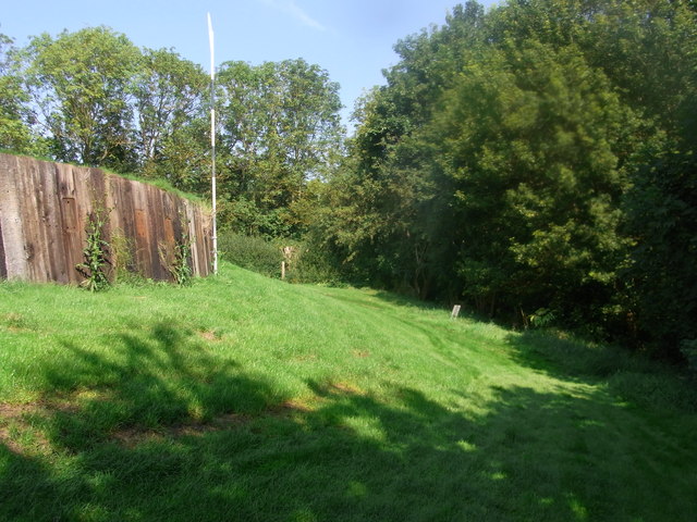
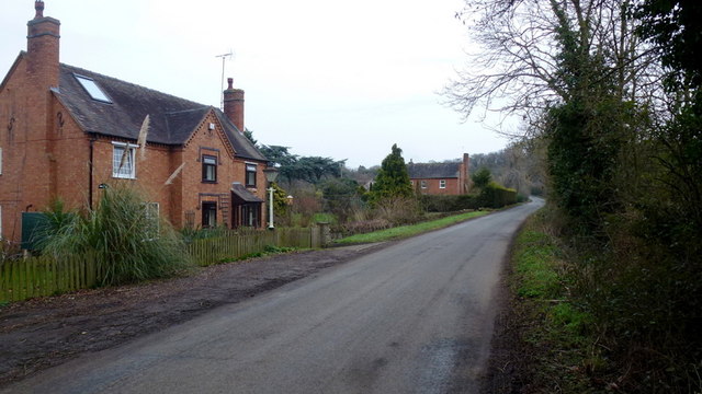
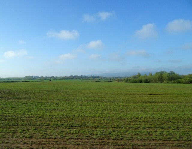
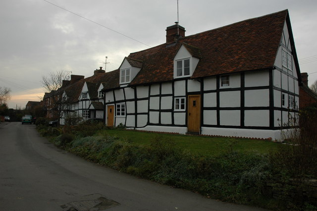
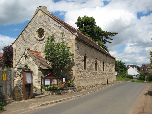
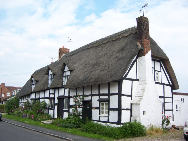
The village is known for its picturesque rural setting, surrounded by rolling hills and farmland. Fladbury Cross retains its traditional charm with a collection of historic buildings and thatched cottages, giving it a quintessential English village feel. The centerpiece of the village is the 12th-century St. John the Baptist Church, a beautiful example of Norman architecture.
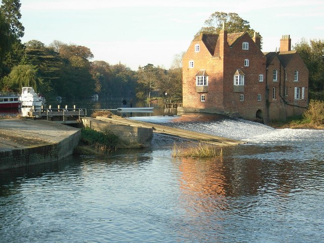
One of the main attractions in Fladbury Cross is the Fladbury Lock, where the River Avon is canalized, allowing boats to pass through the village. This lock is part of the Avon Navigation Trust, which maintains the waterway for recreational boating and fishing.
The village also has a strong sense of community, with a range of local amenities including a primary school, a village hall, and a pub. The local pub, The Chequers Inn, is a popular spot for both locals and visitors, offering a warm and friendly atmosphere along with traditional English pub food.
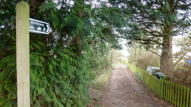
Fladbury Cross is ideally located for those who enjoy outdoor activities, with numerous walking and cycling paths in the surrounding countryside. The nearby Pershore Abbey and Evesham Abbey are also worth a visit for history enthusiasts.
Overall, Fladbury Cross offers a tranquil and picturesque setting, perfect for those seeking a peaceful village atmosphere in the heart of Worcestershire.
If you have any feedback on the listing, please let us know in the comments section below.
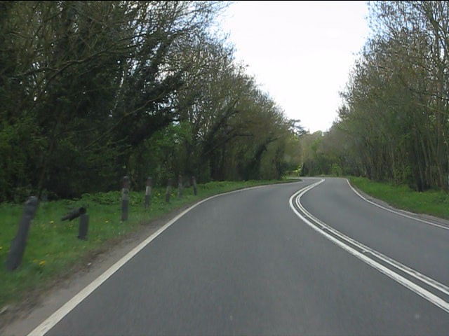
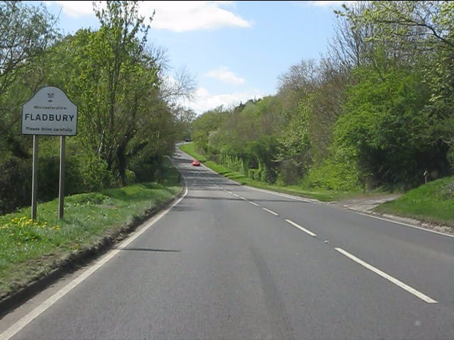
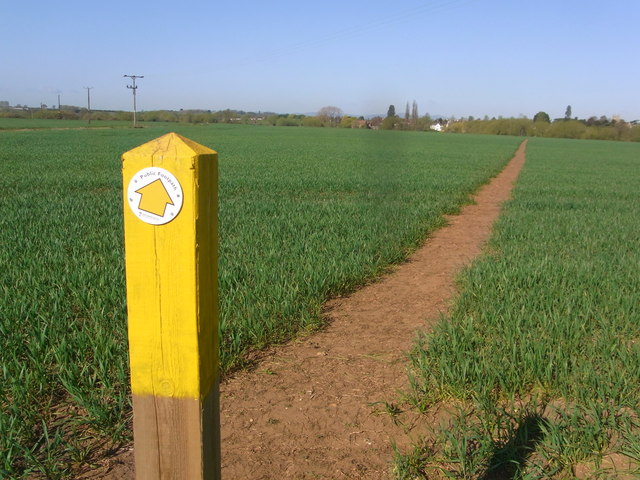
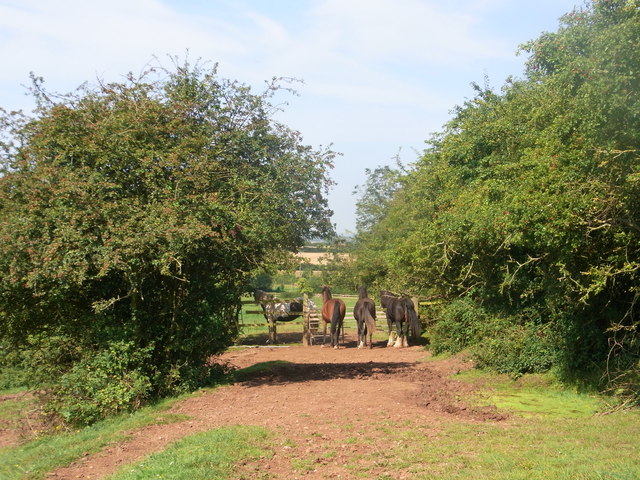
Fladbury Cross Images
Images are sourced within 2km of 52.121314/-2.0160206 or Grid Reference SO9947. Thanks to Geograph Open Source API. All images are credited.


Fladbury Cross is located at Grid Ref: SO9947 (Lat: 52.121314, Lng: -2.0160206)
Administrative County: Worcestershire
District: Wychavon
Police Authority: West Mercia
What 3 Words
///prancing.jetted.blueberry. Near Pershore, Worcestershire
Nearby Locations
Related Wikis

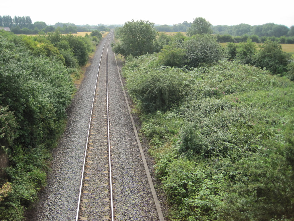
Fladbury railway station
Fladbury railway station was a station in Fladbury, Worcestershire, England. The station was opened in 1854 and closed in 1966. == References == ��2�...
Fladbury
Fladbury is a traditional English village located in rural Worcestershire, England. The village was mentioned in the Domesday Book, almost 1,000 years...
Lower Moor
Lower Moor is a village between Wyre Piddle and Fladbury in the district of Wychavon in Worcestershire, England.

Hill and Moor
Hill and Moor is a civil parish in the Wychavon district of Worcestershire, England. It includes the village Lower Moor and the hamlets of Upper Moor...
Wyre Halt railway station
Wyre Halt railway station was a station in Wyre Piddle, Worcestershire, England. The station was opened in 1934 and closed in 1966. == References... ==

Cropthorne
Cropthorne is a village and civil parish in Worcestershire, England within the Vale of Evesham, and on the North-west edge of the Cotswolds. It is approximately...
Charlton, Worcestershire
Charlton is a village in the Wychavon district of the county of Worcestershire, England. During the 2007 United Kingdom floods, many homes were affected...
Wyre Piddle
Wyre Piddle is a village and civil parish in the Wychavon district of Worcestershire, England. It is on the River Avon, near where that river is joined...
Nearby Amenities
Located within 500m of 52.121314,-2.0160206Have you been to Fladbury Cross?
Leave your review of Fladbury Cross below (or comments, questions and feedback).