Atlow

Settlement in Derbyshire Derbyshire Dales

England

Atlow

Bird's eye view With some hen peckers
Bird's eye view Credit: Chris Morgan

Atlow is a small village located in the Derbyshire Dales district of Derbyshire, England. Situated about 7 miles south of Matlock and 13 miles north of Derby, it lies within the beautiful Peak District National Park.

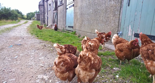
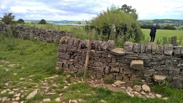
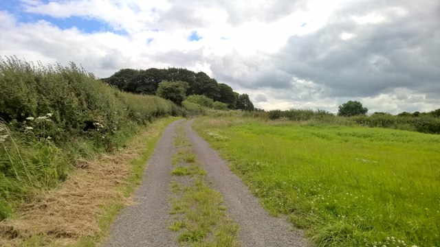
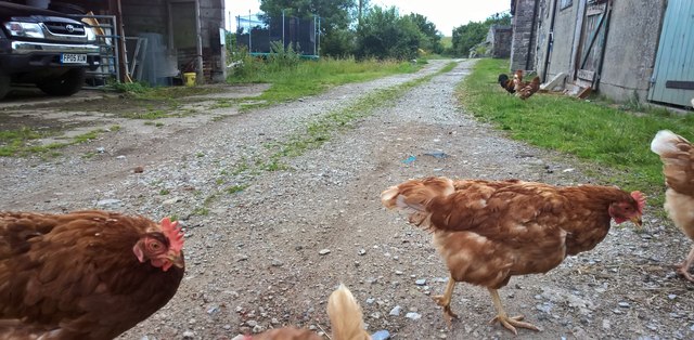
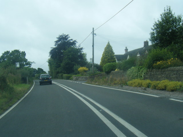
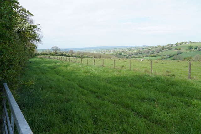
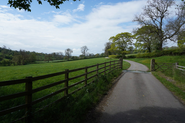
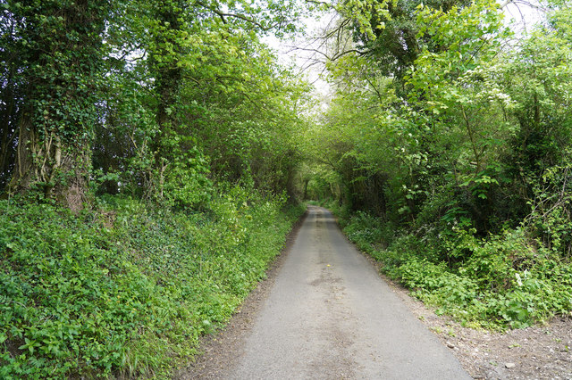
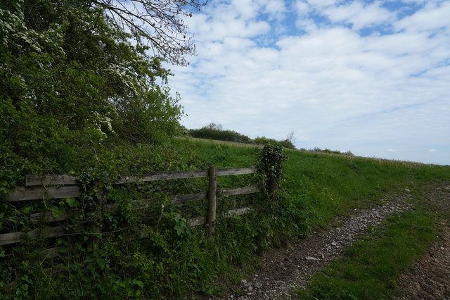
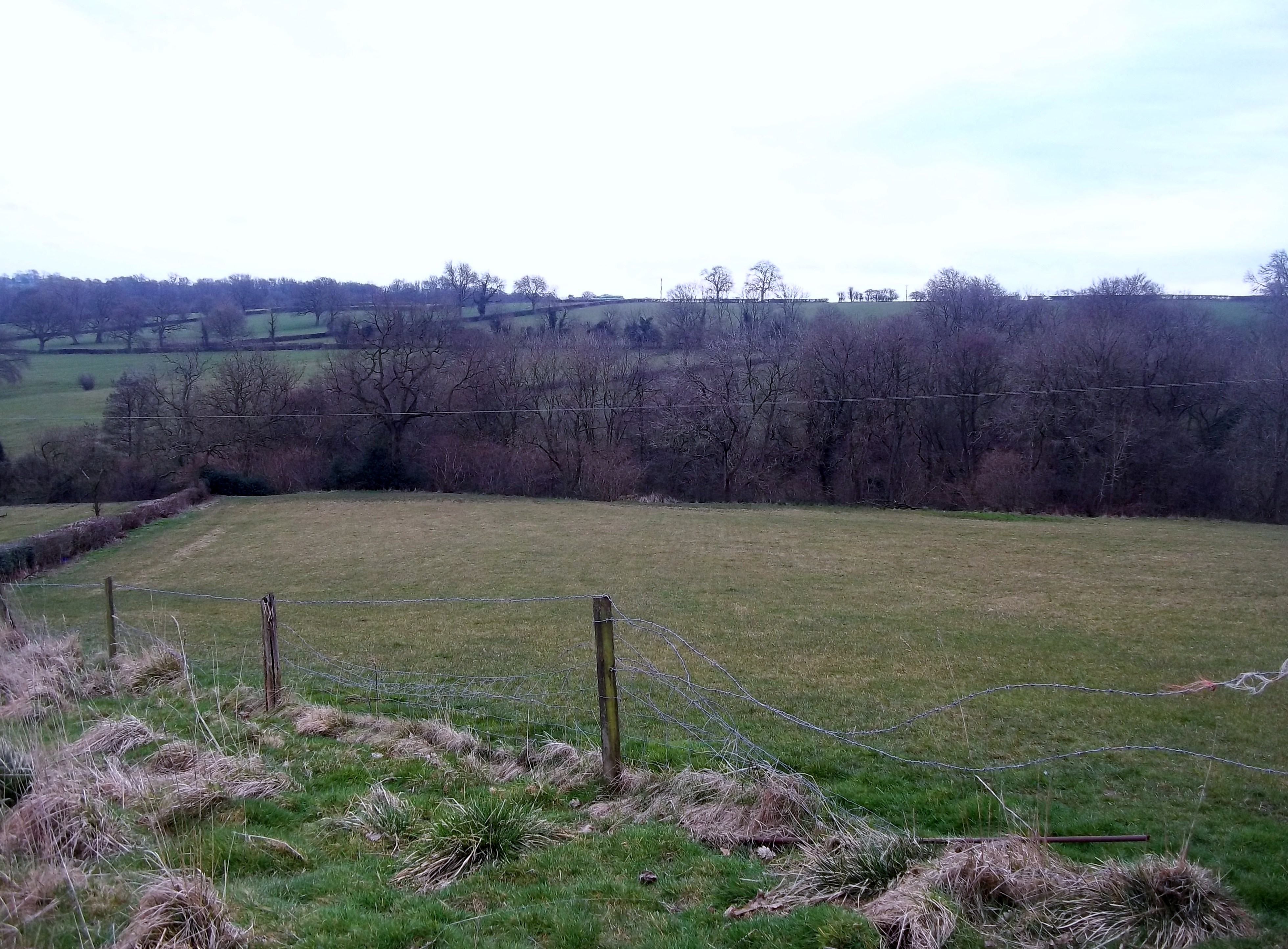
The village is nestled in a picturesque rural setting, surrounded by rolling hills and lush green fields. Atlow is known for its charming stone cottages and traditional architecture, which adds to its idyllic countryside appeal. The village is also home to a small number of farms, adding to its rural character.

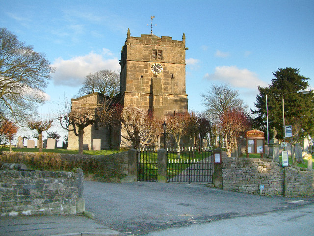
Despite its small size, Atlow boasts a close-knit community that takes pride in its heritage. The village features a historic church, St. Helen's Church, which dates back to the 13th century and is known for its stunning stained glass windows. The church is a focal point for community events and religious services.

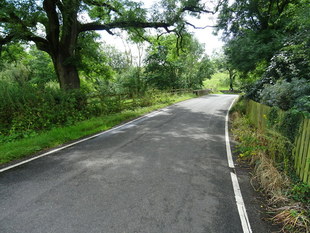
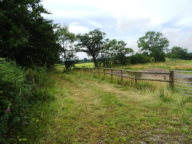
Atlow benefits from its proximity to the Peak District, offering residents and visitors ample opportunities for outdoor activities. The surrounding area is popular for hiking, cycling, and horse riding, with numerous trails and paths to explore. The nearby Carsington Water reservoir is a popular spot for water sports and fishing.

While Atlow does not have its own shops or amenities, the village is within easy reach of neighboring towns and villages, where residents can find essential services and amenities. This peaceful and scenic village offers a tranquil escape from the hustle and bustle of city life, with a strong sense of community and access to the stunning natural beauty of the Peak District.

If you have any feedback on the listing, please let us know in the comments section below.
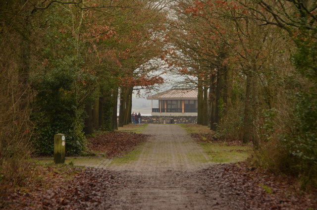
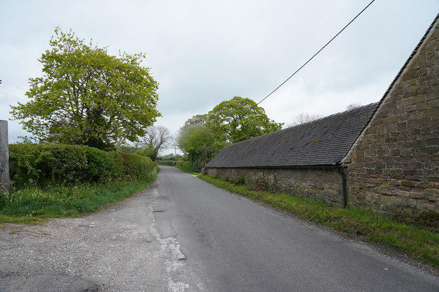
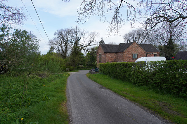
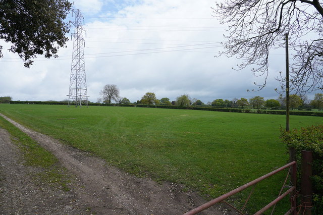
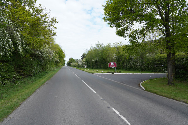
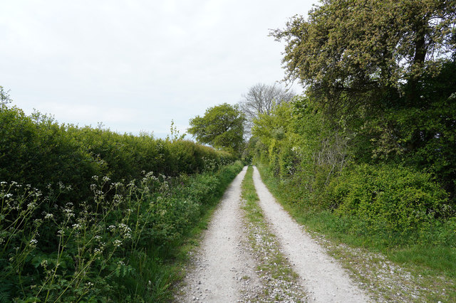
Atlow Images

Images are sourced within 2km of 53.036738/-1.65687 or Grid Reference SK2348. Thanks to Geograph Open Source API. All images are credited.

Bird's eye view With some hen peckers
Bird's eye view
With some hen peckers
Descending Madge Hill
Track ascends Madge Hill
Why did the chickens cross the road? To try and escape a couple of Geographers passing by! At Atlow Winn
Why did the chickens cross the road?
To try and escape a couple of Geographers passing by! At Atlow Winn
A517 at Atlow Cottage
Hognaston Bridge Bridge over the Scow Brook. The brook is downstream of the Carsington Reservoir. As can be seen from the size of the brook there is not a great catchment to the reservoir and it relies primarily on water pumped from the River Derwent at Ambergate.
Hognaston Bridge
Bridge over the Scow Brook. The brook is downstream of the Carsington Reservoir. As can be seen from the size of the brook there is not a great catchment to the reservoir and it relies primarily on water pumped from the River Derwent at Ambergate.
Fields near Atlowtop The field beyond has a horse exercising track for the local stables.
Fields near Atlowtop
The field beyond has a horse exercising track for the local stables.
Rural telephone box at Turlow Fields
Avenue of Trees, Carsington, Derbyshire UK
Gorse Lane The Farm is Bradley Nook and it sits very close to Gorse Lane, which is a very minor road.
Gorse Lane
The Farm is Bradley Nook and it sits very close to Gorse Lane, which is a very minor road.
Entering Atlow Atlow is yet another very linear village.
Entering Atlow
Atlow is yet another very linear village.
Fields and pylons A well cropped grass field that runs beneath pylons that transmit our electricity.
Fields and pylons
A well cropped grass field that runs beneath pylons that transmit our electricity.
The road to the reservoir Over the brow of the hill you will see Carsington Reservoir, which is a pumped storage reservoir, having very little natural inflow.  In times of heavy rain and high river levels in the Derwent water is pumped up into the reservoir for later release in times of low water.
The road to the reservoir
Over the brow of the hill you will see Carsington Reservoir, which is a pumped storage reservoir, having very little natural inflow. In times of heavy rain and high river levels in the Derwent water is pumped up into the reservoir for later release in times of low water.
An unsurfaced track The track has a surface of compacted limestone. Presumably put down when the Solar Farm to the left was being installed.
An unsurfaced track
The track has a surface of compacted limestone. Presumably put down when the Solar Farm to the left was being installed.
A lush field of grass Looking over the metal gate into a field of long grass, that is separated from another field with sheep grazing by a pole and wire fence.
A lush field of grass
Looking over the metal gate into a field of long grass, that is separated from another field with sheep grazing by a pole and wire fence.
The lane to a couple of houses A country lane that is just leading to a couple of houses and or a farm. The sign at the end did not mention a farm just a couple of names.
The lane to a couple of houses
A country lane that is just leading to a couple of houses and or a farm. The sign at the end did not mention a farm just a couple of names.
Looking along Winn Lane Another narrow country lane that actually says unfit for motors, so I walked a little way up it and was passed by a couple of cars!
Looking along Winn Lane
Another narrow country lane that actually says unfit for motors, so I walked a little way up it and was passed by a couple of cars!
Looking across the hillside A stoney track leads into the field which is on the side of quite a steep hill.
Looking across the hillside
A stoney track leads into the field which is on the side of quite a steep hill.
Show me another place!

Atlow is located at Grid Ref: SK2348 (Lat: 53.036738, Lng: -1.65687)

Administrative County: Derbyshire

District: Derbyshire Dales

Police Authority: Derbyshire

What 3 Words

///reading.incurring.advantage. Near Ashbourne, Derbyshire

Nearby Locations

Atlow

Related Wikis

Nearby Amenities

Located within 500m of 53.036738,-1.65687
Atlow
Place: hamlet
Wikidata: Q2430293
Lat/Long: 53.0369612/-1.6566314
Post Box
Operator: Royal Mail
Ref: DE6 891
Lat/Long: 53.0368605/-1.6570609
Parking
Description: Patch of gravel at side of road
Ele: 163.0000000
Lat/Long: 53.0350161/-1.6574414
Ele: 172.0000000
Tourism: information
Lat/Long: 53.0340623/-1.6568823
Barrier: stile
Ele: 167.0000000
Steps: 2
Stile: stepover
Lat/Long: 53.03504/-1.6573061
Barrier: stile
Ele: 163.0000000
Steps: 2
Stile: stepover
Lat/Long: 53.0356617/-1.6563391
Ele: 152.0000000
Lat/Long: 53.0361371/-1.6557744
Barrier: stile
Ele: 153.0000000
Steps: 0
Stile: stepover
Lat/Long: 53.0361765/-1.6557238
Barrier: stile
Ele: 153.0000000
Steps: 2
Stile: stepover
Lat/Long: 53.0362056/-1.6556899
Ele: 154.0000000
Lat/Long: 53.0365925/-1.6556698
Bench
Ele: 149.0000000
Lat/Long: 53.0370532/-1.6570444
Ele: 149.0000000
Lat/Long: 53.0370413/-1.6572055
Ele: 149.0000000
Lat/Long: 53.0370651/-1.6572834
Ele: 150.0000000
Lat/Long: 53.0371117/-1.6573922
Ele: 156.0000000
Lat/Long: 53.037209/-1.6588569
Ele: 157.0000000
Lat/Long: 53.0373165/-1.6589114
Ele: 194.0000000
Lat/Long: 53.0388142/-1.6628482
Ele: 197.0000000
Lat/Long: 53.0389472/-1.6632691
Barrier: stile
Ele: 196.0000000
Stile: squeezer
Lat/Long: 53.0387666/-1.6630055
Ele: 182.0000000
Lat/Long: 53.0378597/-1.6624525
Ele: 159.0000000
Lat/Long: 53.0362881/-1.6603154
Ele: 145.0000000
Lat/Long: 53.0353193/-1.6596441
Ele: 145.0000000
Lat/Long: 53.0349952/-1.6597783
Ele: 144.0000000
Lat/Long: 53.0349257/-1.6596207
Barrier: stile
Ele: 150.0000000
Stile: squeezer
Lat/Long: 53.0347661/-1.6588133
Ele: 161.0000000
Lat/Long: 53.0349032/-1.6578223
Ele: 157.0000000
Lat/Long: 53.0354181/-1.66302
Ele: 157.0000000
Lat/Long: 53.0354839/-1.662875
Barrier: stile
Steps: 0
Stile: stepover
Lat/Long: 53.03545/-1.6629569
Ele: 145.0000000
Lat/Long: 53.0339732/-1.6618615
Ele: 145.0000000
Lat/Long: 53.0339638/-1.6619032
Ele: 145.0000000
Lat/Long: 53.0339525/-1.6619468
Barrier: stile
Ele: 145.0000000
Material: stone
Source: survey;gps
Steps: 1
Stile: squeezer
Lat/Long: 53.0339793/-1.6618203
Barrier: cattle_grid
Ele: 190.0000000
Lat/Long: 53.0324399/-1.6585216
Barrier: stile
Material: stone
Source: survey;gps
Stile: squeezer
Lat/Long: 53.0410423/-1.656217
Barrier: stile
Steps: 2
Stile: stepover
Lat/Long: 53.0351792/-1.6574166
Barrier: stile
Steps: 2
Stile: stepover
Lat/Long: 53.0351668/-1.6578981
Barrier: stile
Material: wood
Source: survey;gps
Steps: 1
Stile: stepover
Lat/Long: 53.0371037/-1.6574744
Power: tower
Source: Bing
Lat/Long: 53.0393528/-1.6513441
Barrier: stile
Material: stone
Source: survey;gps
Stile: squeezer
Lat/Long: 53.0352548/-1.6596228
Direction: SSW
Generator Method: photovoltaic
Generator Output Electricity: yes
Generator Solar Modules: 10
Generator Source: solar
Generator Type: solar_photovoltaic_panel
Location: roof
Power: generator
Lat/Long: 53.0369861/-1.6562185
Direction: SSE
Generator Method: photovoltaic
Generator Output Electricity: yes
Generator Solar Modules: 10
Generator Source: solar
Generator Type: solar_photovoltaic_panel
Location: roof
Power: generator
Lat/Long: 53.0322773/-1.6561903
Fixme: stile, gate or entrance
Lat/Long: 53.0366587/-1.6557612
The data included in this document is from www.openstreetmap.org. The data is made available under ODbL.

Have you been to Atlow?

Leave your review of Atlow below (or comments, questions and feedback).