Atkinson Hill
Settlement in Yorkshire
England
Atkinson Hill

Atkinson Hill is a picturesque village located in the heart of Yorkshire, England. Situated on a gently sloping hillside, it offers breathtaking panoramic views of the surrounding countryside. The village is known for its quaint charm and traditional English character, making it a popular destination for both locals and tourists alike.
The architecture in Atkinson Hill is predominantly made up of stone cottages, which add to its idyllic atmosphere. The streets are narrow and winding, lined with well-tended gardens and colorful flowerbeds. A central village square serves as a focal point, with a charming market held every Saturday, where locals gather to sell fresh produce and handmade crafts.
The community in Atkinson Hill is close-knit and welcoming, with a strong sense of pride in their village. The local pub, The Rose and Crown, is a popular gathering spot where residents and visitors can enjoy a pint of locally brewed ale and indulge in hearty, home-cooked meals.
For outdoor enthusiasts, Atkinson Hill offers an abundance of natural beauty to explore. The surrounding countryside is dotted with walking trails that lead to stunning viewpoints and hidden gems. The nearby Atkinson Hill Forest is a haven for wildlife, with a variety of bird species and woodland creatures calling it home.
Despite its rural setting, Atkinson Hill is conveniently located within easy reach of larger towns and cities. The bustling market town of York is just a short drive away, offering a range of shopping, dining, and cultural experiences.
In summary, Atkinson Hill is a charming village in Yorkshire that exudes old-world charm and natural beauty. It is a place where time seems to stand still, offering a tranquil retreat from the hustle and bustle of modern life.
If you have any feedback on the listing, please let us know in the comments section below.
Atkinson Hill Images
Images are sourced within 2km of 53.778971/-1.523463 or Grid Reference SE3131. Thanks to Geograph Open Source API. All images are credited.


Atkinson Hill is located at Grid Ref: SE3131 (Lat: 53.778971, Lng: -1.523463)
Division: West Riding
Unitary Authority: Leeds
Police Authority: West Yorkshire
What 3 Words
///toast.heads.friend. Near Leeds, West Yorkshire
Nearby Locations
Related Wikis

Hunslet
Hunslet (English: ) is an inner-city suburb in south Leeds, West Yorkshire, England. It is 1 mile (1.6 km) southeast of the city centre and has an industrial...
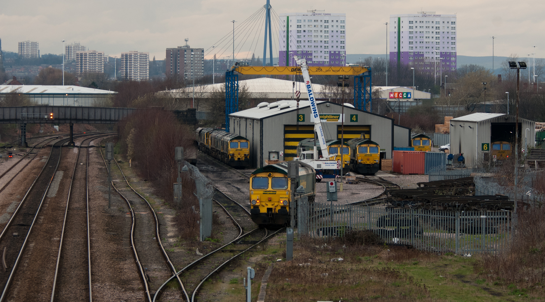
Leeds Midland Road depot
Leeds Midland Road depot is a locomotive and rolling stock maintenance facility located in Leeds, West Yorkshire, England. The site is located a few miles...

Hunslet Rural District
Hunslet was a rural district of the administrative county of Yorkshire, West Riding from 1894 to 1937. The rural district was created by the Local Government...

Knowsthorpe
Knowsthorpe, Knostrop or Knostropp is an area of Leeds, West Yorkshire, England, on the River Aire. The spelling "Knostrop" is predominantly used for...
Nearby Amenities
Located within 500m of 53.778971,-1.523463Have you been to Atkinson Hill?
Leave your review of Atkinson Hill below (or comments, questions and feedback).