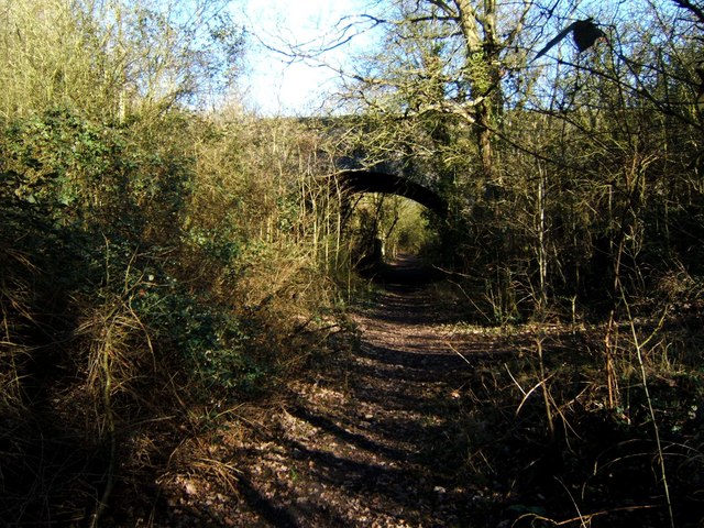
Cank Wood
Wood, Forest in Essex Maldon
England
Cank Wood
Cank Wood, located in Essex, England, is a serene and picturesque forest that offers visitors a peaceful retreat from the hustle and bustle of urban life. Spanning approximately 100 acres, the wood is an important natural habitat for a diverse range of flora and fauna.
The woodland is primarily composed of broad-leaved trees, including oak, beech, and birch, which create a dense canopy that provides shade and shelter to the forest floor. Bluebells, primroses, and ferns carpet the ground during spring, adding a burst of color to the landscape.
Cank Wood offers several walking trails that wind through its enchanting paths, allowing visitors to explore its beauty at their own pace. These trails are well-maintained, making them accessible to people of all ages and abilities. The wood is also a popular spot for nature enthusiasts and birdwatchers, as it is home to a variety of bird species, including woodpeckers, nuthatches, and nightingales.
The wood is managed by the local council, which ensures that it remains a protected area and maintains its ecological balance. Visitors are encouraged to respect the environment by adhering to the designated paths and refraining from littering.
Cank Wood is conveniently located near several amenities, including parking facilities and picnic areas, making it an ideal destination for a family day out or a peaceful picnic. With its tranquil atmosphere and stunning natural beauty, Cank Wood offers a welcome escape into nature for all who visit.
If you have any feedback on the listing, please let us know in the comments section below.
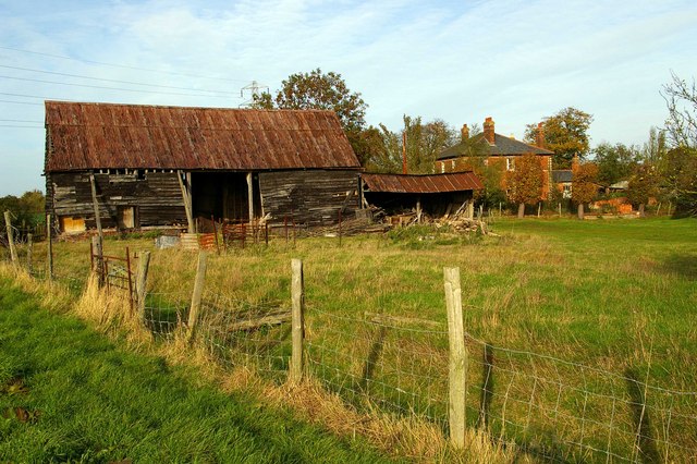
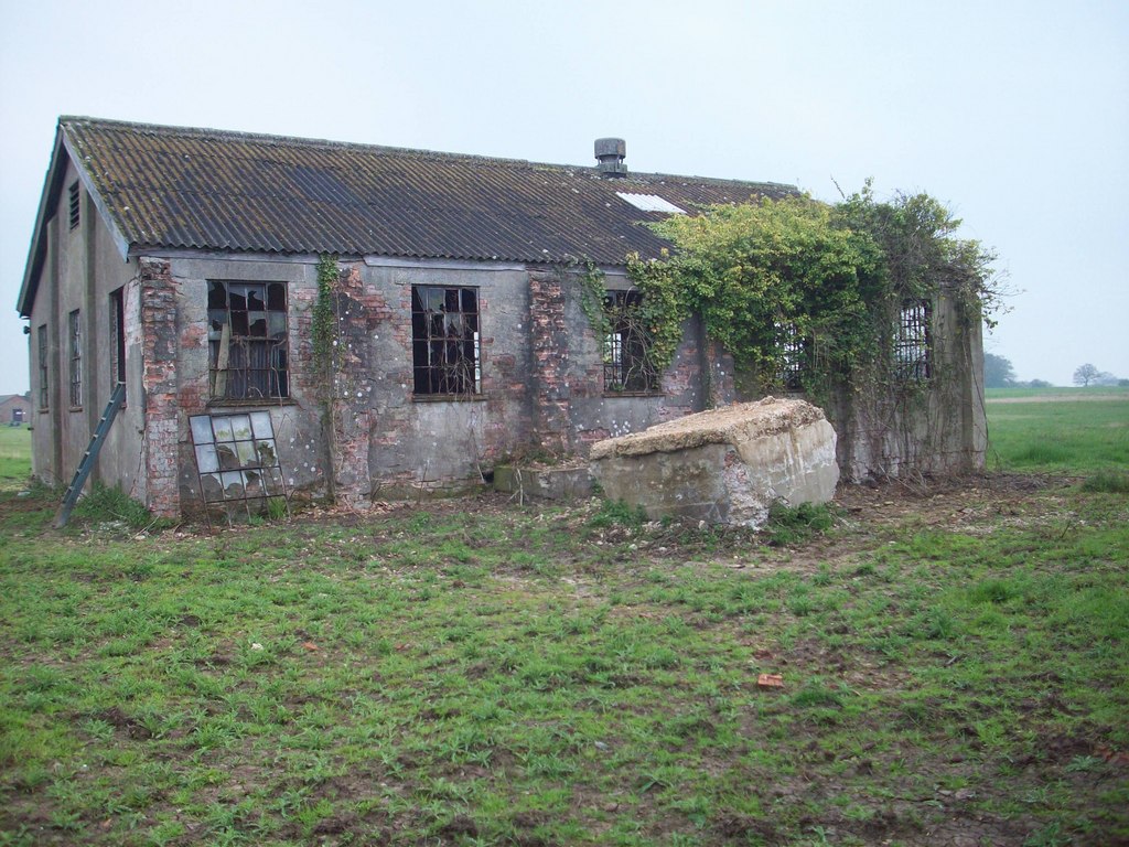
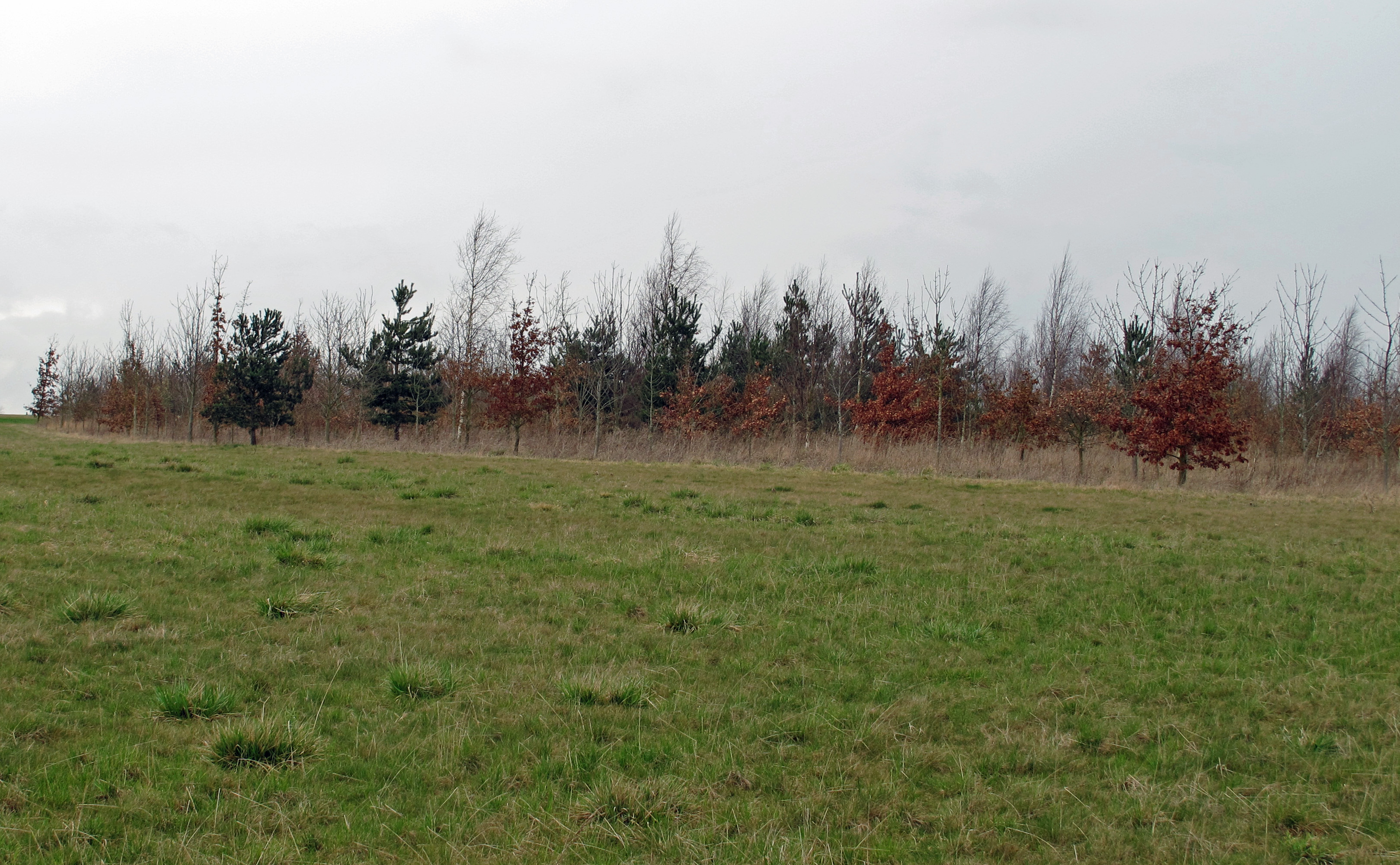
Cank Wood Images
Images are sourced within 2km of 51.677657/0.62118733 or Grid Reference TL8100. Thanks to Geograph Open Source API. All images are credited.


Cank Wood is located at Grid Ref: TL8100 (Lat: 51.677657, Lng: 0.62118733)
Administrative County: Essex
District: Maldon
Police Authority: Essex
What 3 Words
///vented.surpassed.protect. Near Bicknacre, Essex
Nearby Locations
Related Wikis
Stow Maries Aerodrome
Stow Maries Aerodrome is a historical airfield located in the village of Stow Maries, Essex, England. The airfield was in use by the Royal Flying Corps...

Woodham Ferrers
Woodham Ferrers is a small village and former civil parish about 8 miles (13 km) southeast of Chelmsford, located between South Woodham Ferrers and Bicknacre...
Woodham Ferrers and Bicknacre
Woodham Ferrers and Bicknacre is a civil parish in the Chelmsford district in Essex, England. The parish includes the villages of Bicknacre and Woodham...
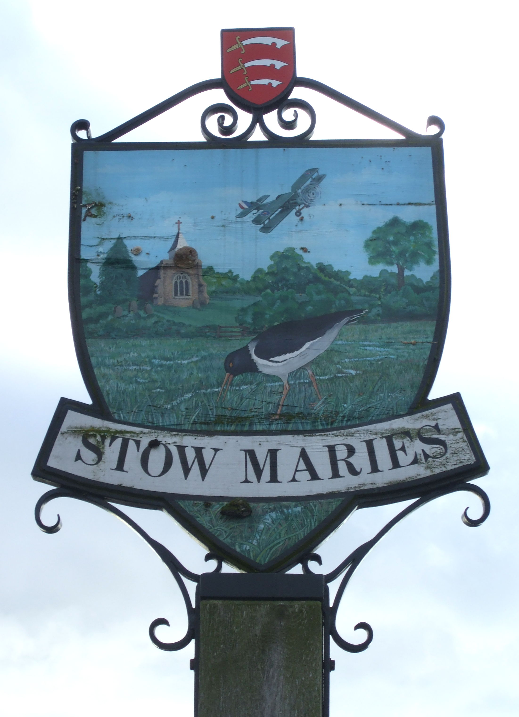
Stow Maries
Stow Maries is a village and civil parish in the English county of Essex. It is located on the western (inland) end of the Dengie peninsula and forms part...

Stow St Mary Halt railway station
Stow St. Mary Halt railway station was a halt that served the village of Stow Maries, Essex. It was opened on 24 September 1928 by the London and North...
Purleigh
Purleigh is a village on the Dengie peninsula about 4 miles (6.4 km) south of Maldon in the English county of Essex. The village is part of the Purleigh...
Stow Maries Halt
Stow Maries Halt is a 2.2-hectare (5.4-acre) nature reserve south of Stow Maries in Essex. It is owned and managed by the Essex Wildlife Trust.The former...
Hazeleigh
Hazeleigh is a village and civil parish on the Dengie peninsula in the English county of Essex. It lies 2.6 miles south-west of Maldon. == Hazeleigh... ==
Nearby Amenities
Located within 500m of 51.677657,0.62118733Have you been to Cank Wood?
Leave your review of Cank Wood below (or comments, questions and feedback).