Barmer Common Plantation

Wood, Forest in Norfolk King's Lynn and West Norfolk

England

Barmer Common Plantation

Footpath from the church at Barmer
Footpath from the church at Barmer Credit: Jonathan Thacker

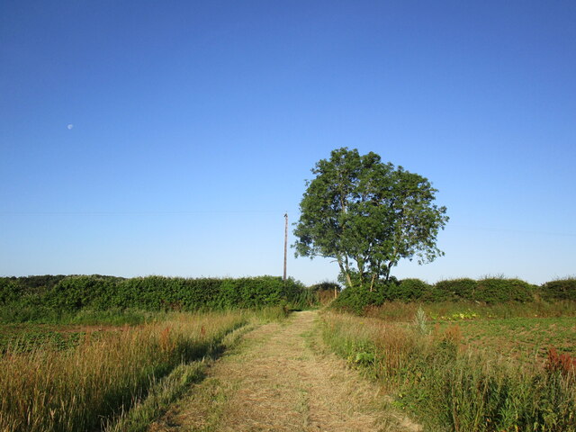
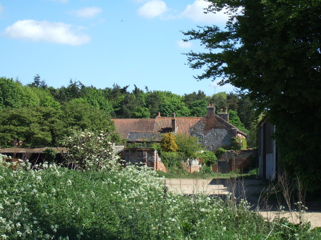
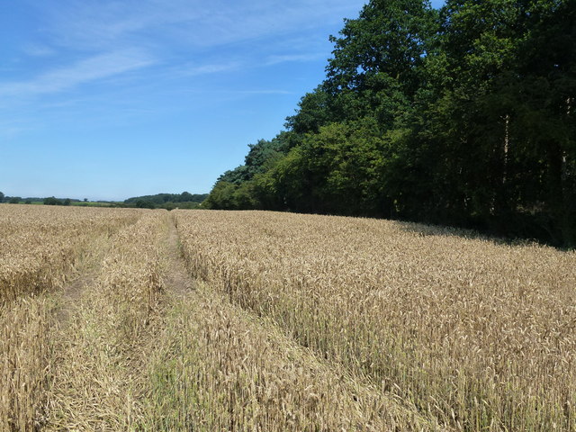
Barmer Common Plantation, located in Norfolk, England, is a picturesque woodland area that spans over 100 hectares. Situated near the village of Barmer, the plantation is a popular destination for nature enthusiasts, hikers, and wildlife observers. It is owned and managed by the Forestry Commission, which ensures the preservation and conservation of the area.

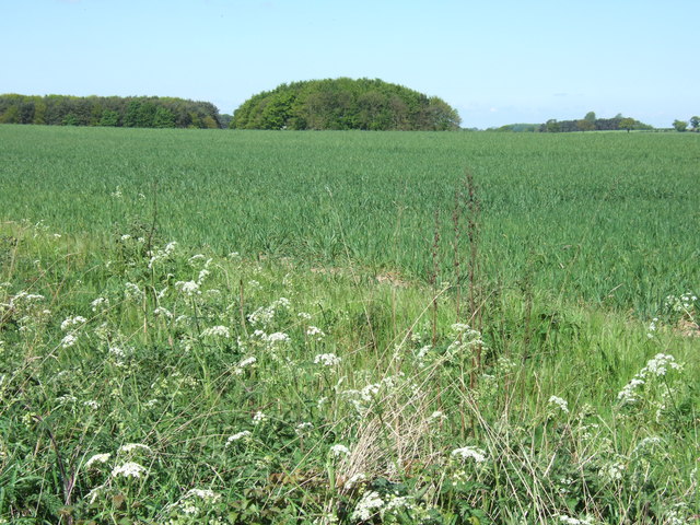
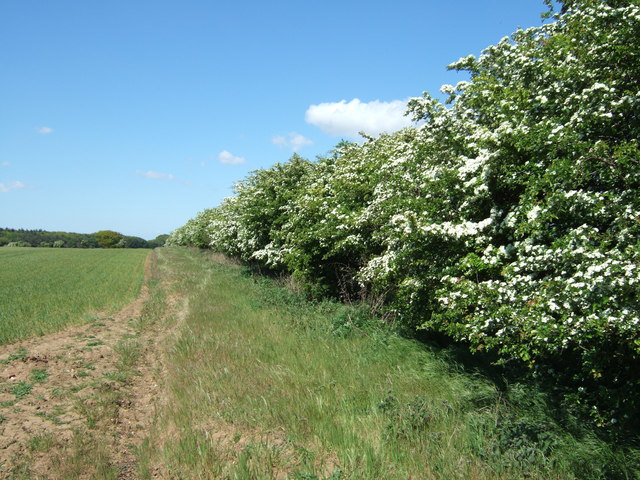
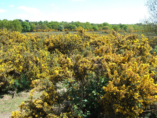
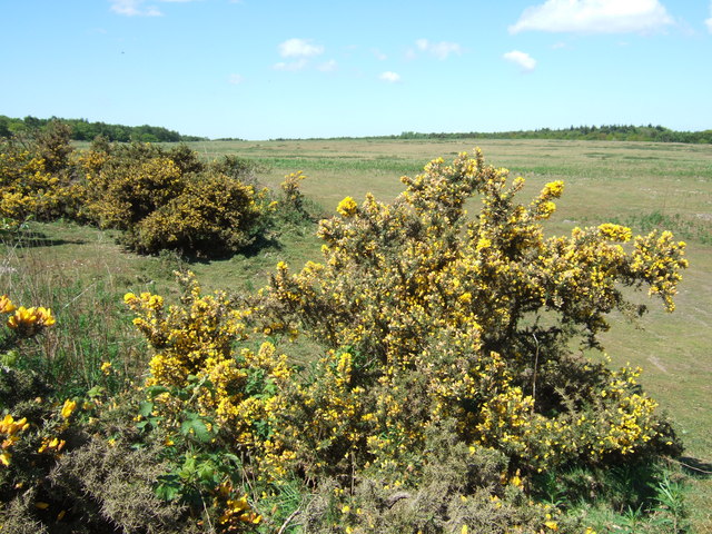
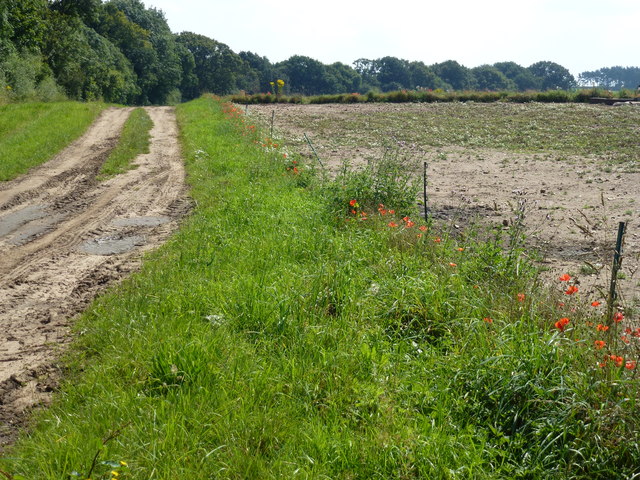
The woodland of Barmer Common Plantation is predominantly made up of mixed broadleaf trees, including oak, birch, and beech. These trees create a diverse and vibrant ecosystem, providing a habitat for various species of flora and fauna. The plantation is particularly renowned for its bluebells, which carpet the forest floor in a stunning display during the spring months.

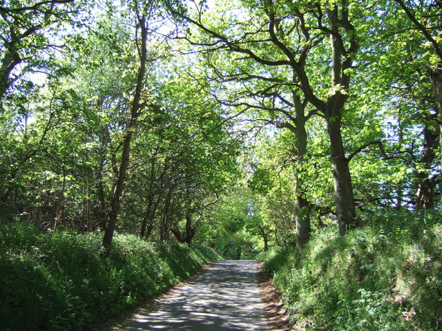
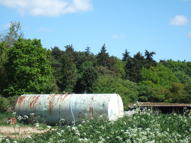
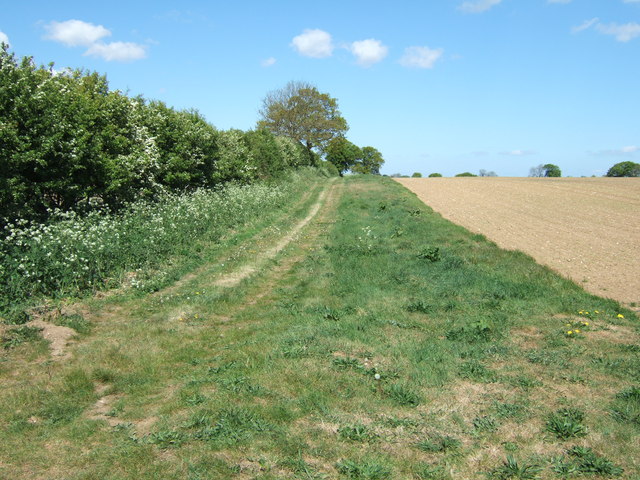
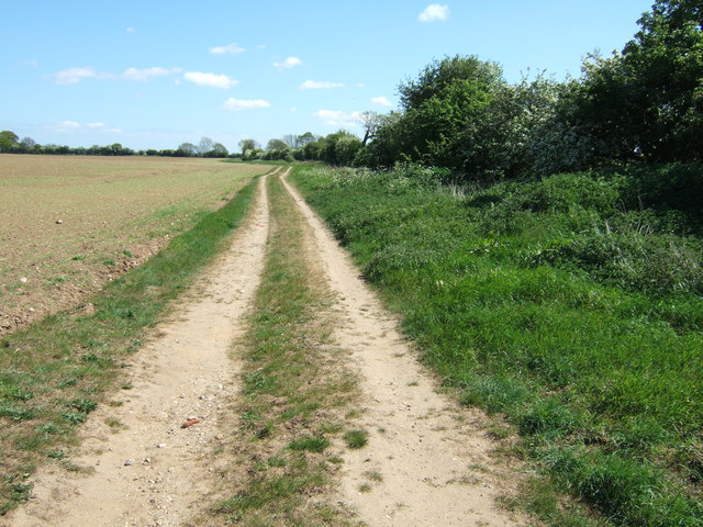
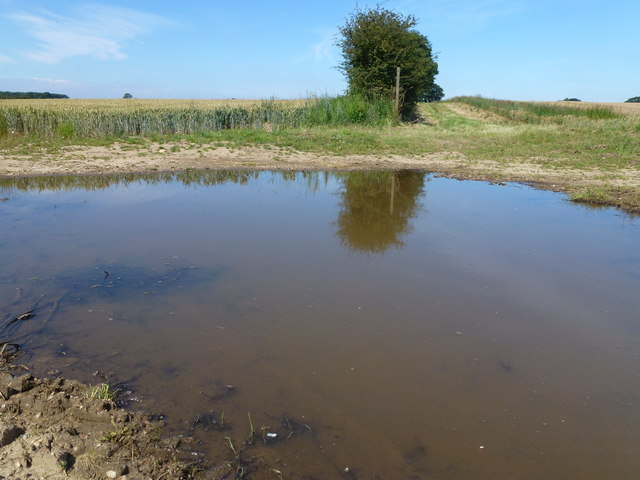
Visitors to Barmer Common Plantation can enjoy a network of well-maintained walking paths and trails that meander through the woodland. These paths allow visitors to explore the plantation at their own pace, providing opportunities to discover hidden gems such as tranquil ponds and beautiful glades. The plantation is also home to a variety of wildlife, including deer, foxes, and a wide range of bird species, making it a haven for birdwatchers.

The Forestry Commission is committed to managing the plantation sustainably, ensuring the long-term health and vitality of the woodland. This includes regular tree planting and maintenance, as well as the creation of diverse habitats to support a wide range of wildlife.

Barmer Common Plantation offers a peaceful and enchanting natural retreat for those seeking to immerse themselves in the beauty of Norfolk's woodlands. Whether it's a leisurely stroll, birdwatching, or simply enjoying the tranquility of nature, this plantation has something to offer for everyone.

If you have any feedback on the listing, please let us know in the comments section below.

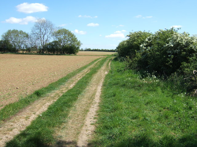
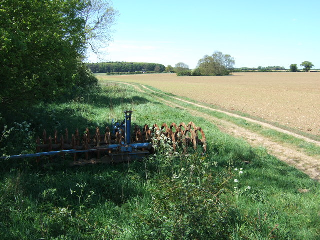
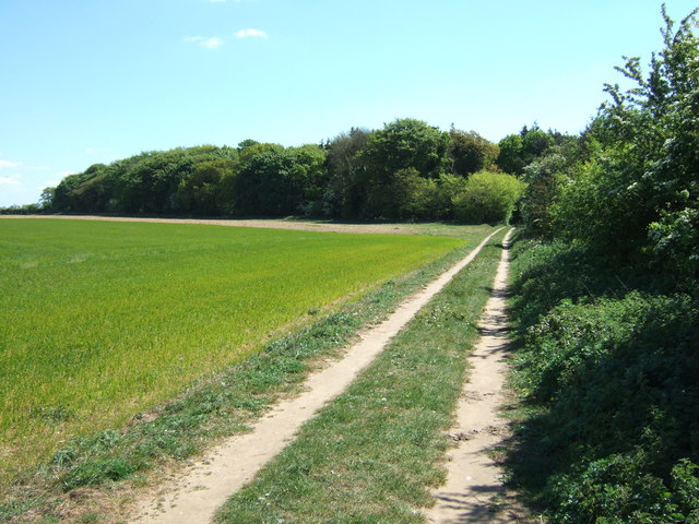
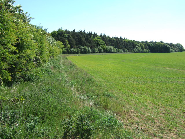
Barmer Common Plantation Images

Images are sourced within 2km of 52.862552/0.69194302 or Grid Reference TF8132. Thanks to Geograph Open Source API. All images are credited.

Footpath from the church at Barmer
All Saints' church, Barmer Hidden in an overgrown churchyard which has effectively become woodland.
The church is largely of the twelfth century <span class="nowrap"><a title="https://historicengland.org.uk/listing/the-list/list-entry/1077802?section=official-list-entry" rel="nofollow ugc noopener" href="https://historicengland.org.uk/listing/the-list/list-entry/1077802?section=official-list-entry">Link</a><img style="margin-left:2px;" alt="External link" title="External link - shift click to open in new window" src="https://s1.geograph.org.uk/img/external.png" width="10" height="10"/></span> and is maintained by the Norfolk Churches Trust <span class="nowrap"><a title="https://norfolkchurchestrust.org.uk/churches/barmer-all-saints/" rel="nofollow ugc noopener" href="https://norfolkchurchestrust.org.uk/churches/barmer-all-saints/">Link</a><img style="margin-left:2px;" alt="External link" title="External link - shift click to open in new window" src="https://s1.geograph.org.uk/img/external.png" width="10" height="10"/></span>
All Saints' church, Barmer
Hidden in an overgrown churchyard which has effectively become woodland. The church is largely of the twelfth century LinkExternal link and is maintained by the Norfolk Churches Trust LinkExternal link
Lane in Coxford Wood On the edge of Syderstone Common and probably called Rudham Road? This road was cut in two by the B1454 which was one of several new roads constructed or diverted in the area when Sculthorpe Airfield was built in the mid 20th century
Lane in Coxford Wood
On the edge of Syderstone Common and probably called Rudham Road? This road was cut in two by the B1454 which was one of several new roads constructed or diverted in the area when Sculthorpe Airfield was built in the mid 20th century
Farmland near Barmer Common Plantation West of Syderstone in Norfolk
Farmland near Barmer Common Plantation
West of Syderstone in Norfolk
Barmer Farm, Barmer North west of Syderstone in Norfolk
Barmer Farm, Barmer
North west of Syderstone in Norfolk
Large tank at Barmer Farm, Barmer Tank A - probably used for water storage at this farm north west of Syderstone
Large tank at Barmer Farm, Barmer
Tank A - probably used for water storage at this farm north west of Syderstone
Track north of Barmer in Norfolk
Not what's shown on the map! This track north east of Barmer in Norfolk is shown on OS maps as a metalled road. It is actually a deeply rutted track in places
Not what's shown on the map!
This track north east of Barmer in Norfolk is shown on OS maps as a metalled road. It is actually a deeply rutted track in places
Track shown as metalled road on map! North east of Barmer in Norfolk
Track shown as metalled road on map!
North east of Barmer in Norfolk
Cultivator and farmland North east of Barmer in Norfolk
Cultivator and farmland
North east of Barmer in Norfolk
Track to Manor Ling, Syderstone, Norfolk
Farmland near Manor Ling north of  Syderstone in Norfolk
Farmland near Manor Ling north of Syderstone in Norfolk
Hawthorn hedge near Manor Ling North of Syderstone in Norfolk
Hawthorn hedge near Manor Ling
North of Syderstone in Norfolk
Gorse bushes on Syderstone Common in Norfolk A view looking east from Rudham Road
Gorse bushes on Syderstone Common in Norfolk
A view looking east from Rudham Road
Syderstone Common in Norfolk
Track at the side of Berlin Plantation Near Bagthorpe in Norfolk
Track at the side of Berlin Plantation
Near Bagthorpe in Norfolk
Wheatfield next to Barmer Common Plantation A footpath runs at the edge of the plantation
Wheatfield next to Barmer Common Plantation
A footpath runs at the edge of the plantation
Large puddle on the crossroads near Barmer, Norfolk A track goes off into the distance on the right of the hedge. According to O.S. maps there should be a metaled road crossing the track in the foreground but it is actually a badly rutted track/green lane prone to flooding.
Large puddle on the crossroads near Barmer, Norfolk
A track goes off into the distance on the right of the hedge. According to O.S. maps there should be a metaled road crossing the track in the foreground but it is actually a badly rutted track/green lane prone to flooding.
Show me another place!

Barmer Common Plantation is located at Grid Ref: TF8132 (Lat: 52.862552, Lng: 0.69194302)

Administrative County: Norfolk

District: King's Lynn and West Norfolk

Police Authority: Norfolk

What 3 Words

///scrub.airbrush.buddy. Near Fakenham, Norfolk

Related Wikis

Bagthorpe with Barmer

Bagthorpe with Barmer is a civil parish in the English county of Norfolk. The parish includes the hamlets of Bagthorpe and Barmer, it is around 7+1⁄2 miles...

Syderstone

Syderstone is a civil parish in the English county of Norfolk, near the town of Fakenham. It has an area of 9.94 km2 (3.84 sq mi). The population of 532...

Syderstone Common

Syderstone Common is a 43.7-hectare (108-acre) biological Site of Special Scientific Interest west of Fakenham in Norfolk. An area of 24-hectare (59-acre...

Barwick, Norfolk

Barwick is a scattered hamlet and civil parish in the north-west part of the English county of Norfolk. It is situated adjacent to the slightly larger...

Nearby Amenities

Located within 500m of 52.862552,0.69194302
Fixme: incomplete
Lat/Long: 52.8644327/0.6900571
The data included in this document is from www.openstreetmap.org. The data is made available under ODbL.

Have you been to Barmer Common Plantation?

Leave your review of Barmer Common Plantation below (or comments, questions and feedback).