Dukesride Wood

Wood, Forest in Suffolk West Suffolk

England

Dukesride Wood

Pine Trees near A11 Seen from near War Memorial.
Pine Trees near A11 Credit: Christine Matthews

Dukesride Wood is a picturesque woodland located in Suffolk, England. Covering an area of approximately 50 acres, it is a popular destination for nature enthusiasts and visitors seeking tranquility. The wood is situated near the town of Framlingham, known for its historic castle, and is easily accessible by foot or by car.

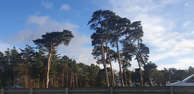
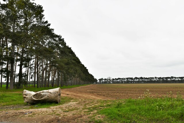
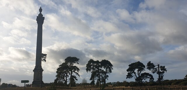
The woodland is predominantly made up of native tree species, including oak, beech, and birch, which create a diverse and vibrant environment. The dense canopy provides shelter for a variety of wildlife, such as deer, squirrels, and a wide range of bird species. Visitors can often spot woodpeckers drumming on the trunks of the trees, adding to the peaceful ambiance of the wood.

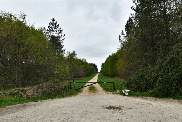
Dukesride Wood offers a network of well-maintained footpaths and trails, allowing visitors to explore its natural beauty at their own pace. These paths wind through the wood, leading visitors to hidden clearings, small ponds, and quiet spots perfect for picnics. The wood is also home to a small stream, adding to the serene atmosphere and providing a habitat for water-loving creatures.

Throughout the year, Dukesride Wood offers a changing scenery, with vibrant colors during autumn and a carpet of bluebells in spring. It is a popular spot for photographers and artists seeking inspiration from the natural world.

Managed by local authorities, Dukesride Wood ensures the preservation of its flora and fauna, and promotes conservation efforts to protect this valuable ecosystem. Whether for a leisurely stroll, a family outing, or a moment of solitude, Dukesride Wood offers a truly enchanting experience for all who visit.

If you have any feedback on the listing, please let us know in the comments section below.

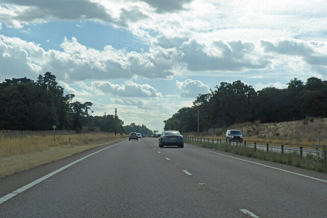
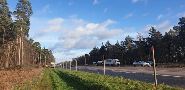
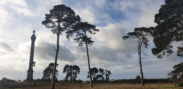
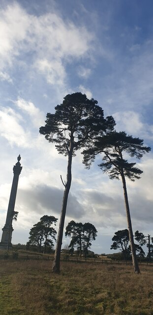
Dukesride Wood Images

Images are sourced within 2km of 52.364852/0.66060272 or Grid Reference TL8177. Thanks to Geograph Open Source API. All images are credited.

Pine Trees near A11 Seen from near War Memorial.
Pine Trees near A11
Seen from near War Memorial.
Pine Trees near A11 Seen from near War Memorial.
Pine Trees near A11
Seen from near War Memorial.
Elveden: One of many entrances to the King's Forest
Elveden: One of many entrances to the King's Forest A discarded toilet.
Elveden: One of many entrances to the King's Forest
A discarded toilet.
Elveden: Shelterhouse Corner
A11 towards London But no longer a continuous route with that number. Taking the A14 around Newmarket is the first interruption.
A11 towards London
But no longer a continuous route with that number. Taking the A14 around Newmarket is the first interruption.
Bridge over A11 A farm access road crosses.
Bridge over A11
A farm access road crosses.
Elveden War Memorial This memorial is a Grade II listed structure situated on the north side of the All, commemorating WW1 and WW2.  This image is taken from the path from the layby.  The memorial is behind the photographer.
Elveden War Memorial
This memorial is a Grade II listed structure situated on the north side of the All, commemorating WW1 and WW2. This image is taken from the path from the layby. The memorial is behind the photographer.
Looking up at the Pine Trees The War Memorial is to the left.
Looking up at the Pine Trees
The War Memorial is to the left.
Looking up at the Pine Trees The War Memorial is to the left.
Looking up at the Pine Trees
The War Memorial is to the left.
Looking up at the Pine Trees The War Memorial is to the left.
Looking up at the Pine Trees
The War Memorial is to the left.
Chalk Hall Farm Taken from the A11.
Chalk Hall Farm
Taken from the A11.
The entrance to Chalk Hall Farm
Arable land by the A11
Vegetables by the A11
A11 near Chalk Hall Farm The A11 is a major road in Eastern England. It runs roughly north east for 111 miles from London to Norwich, With the M11 opening in the 1970s and then the A12 extension in 1999, a lengthy section has been downgraded between the suburbs of east London and the north-west corner of the county of Essex. It also overlaps with the A14 on the Newmarket bypass.
<span class="nowrap"><a title="http://www.sabre-roads.org.uk/wiki/index.php?title=A11" rel="nofollow ugc noopener" href="http://www.sabre-roads.org.uk/wiki/index.php?title=A11">Link</a><img style="margin-left:2px;" alt="External link" title="External link - shift click to open in new window" src="https://s1.geograph.org.uk/img/external.png" width="10" height="10"/></span>
A11 near Chalk Hall Farm
The A11 is a major road in Eastern England. It runs roughly north east for 111 miles from London to Norwich, With the M11 opening in the 1970s and then the A12 extension in 1999, a lengthy section has been downgraded between the suburbs of east London and the north-west corner of the county of Essex. It also overlaps with the A14 on the Newmarket bypass. LinkExternal link
Chalk Hall Farm
Chalk Hall Farm
Heavy traffic, A11 The A11 is a major road in Eastern England. It runs roughly north east for 111 miles from London to Norwich, With the M11 opening in the 1970s and then the A12 extension in 1999, a lengthy section has been downgraded between the suburbs of east London and the north-west corner of the county of Essex. It also overlaps with the A14 on the Newmarket bypass.
<span class="nowrap"><a title="http://www.sabre-roads.org.uk/wiki/index.php?title=A11" rel="nofollow ugc noopener" href="http://www.sabre-roads.org.uk/wiki/index.php?title=A11">Link</a><img style="margin-left:2px;" alt="External link" title="External link - shift click to open in new window" src="https://s1.geograph.org.uk/img/external.png" width="10" height="10"/></span>
Heavy traffic, A11
The A11 is a major road in Eastern England. It runs roughly north east for 111 miles from London to Norwich, With the M11 opening in the 1970s and then the A12 extension in 1999, a lengthy section has been downgraded between the suburbs of east London and the north-west corner of the county of Essex. It also overlaps with the A14 on the Newmarket bypass. LinkExternal link
Show me another place!

Dukesride Wood is located at Grid Ref: TL8177 (Lat: 52.364852, Lng: 0.66060272)

Administrative County: Suffolk

District: West Suffolk

Police Authority: Suffolk

What 3 Words

///splendid.atlas.rock. Near Thetford, Norfolk

Related Wikis

Berner's Heath

Berner's Heath is a 236.9-hectare (585-acre) biological Site of Special Scientific Interest north-east of Icklingham in Suffolk. It is a Nature Conservation...

Elveden Hall

Elveden Hall is a large stately home on the Elveden Estate in Elveden, Suffolk, England. The seat of the Earls of Iveagh, it is a Grade II* listed building...

Elveden

Elveden is a village and civil parish in the West Suffolk district of Suffolk in eastern England. In 2005 it had a population of 270. The village is bypassed...

Weather and Horn Heaths, Eriswell

Weather and Horn Heaths, Eriswell is a 133.3-hectare (329-acre) biological Site of Special Scientific Interest east of Eriswell in Suffolk. It is a Nature...

Nearby Amenities

Located within 500m of 52.364852,0.66060272
Pipeline: marker
Ref: NT ROGR03 030
Type: gas
Lat/Long: 52.364052/0.6619645
Power: pole
Lat/Long: 52.3646319/0.6579782
Power: pole
Lat/Long: 52.3639522/0.6661857
Power: pole
Lat/Long: 52.3636918/0.6641741
Power: pole
Lat/Long: 52.3644174/0.6544511
Power: pole
Lat/Long: 52.3643781/0.6596251
Power: pole
Lat/Long: 52.3645222/0.6562428
Power: pole
Lat/Long: 52.3639391/0.6625648
Power: pole
Lat/Long: 52.3641575/0.6611025
The data included in this document is from www.openstreetmap.org. The data is made available under ODbL.

Have you been to Dukesride Wood?

Leave your review of Dukesride Wood below (or comments, questions and feedback).