Rose's Wood
Wood, Forest in Kent Maidstone
England
Rose's Wood
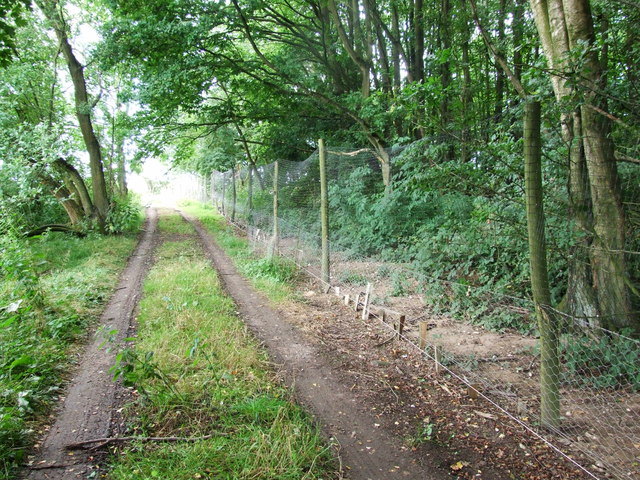
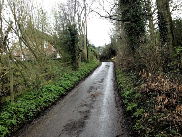
Rose's Wood is a picturesque forest located in Kent, England. Covering an area of approximately 100 acres, this woodland is renowned for its natural beauty and diverse range of flora and fauna. The wood is situated in a rural setting, just a short distance from the charming village of Kent.
As visitors step into Rose's Wood, they are greeted by a canopy of towering trees, creating a serene and tranquil atmosphere. The forest is predominantly made up of deciduous trees, such as oak, beech, and chestnut, which provide a vibrant display of colors during autumn. The woodland floor is blanketed with a rich carpet of wildflowers, including bluebells, primroses, and violets, adding to the enchanting ambiance.
The forest is home to a variety of wildlife, making it a haven for nature enthusiasts and wildlife lovers. Visitors may spot deer, foxes, and rabbits roaming freely through the woodland, while an array of bird species, including woodpeckers, owls, and warblers, can be heard chirping in the treetops.
Rose's Wood offers a network of well-maintained walking trails, allowing visitors to explore the forest's beauty at their own pace. It is a popular destination for hikers, joggers, and dog walkers, who can enjoy the fresh air and peaceful surroundings. The woodland also features picnic areas, where families and friends can gather to enjoy a leisurely lunch amidst nature.
Overall, Rose's Wood in Kent is a captivating forest that offers a delightful retreat from the hustle and bustle of everyday life. Its natural charm, diverse wildlife, and scenic trails make it an idyllic destination for those seeking solace in nature.
If you have any feedback on the listing, please let us know in the comments section below.
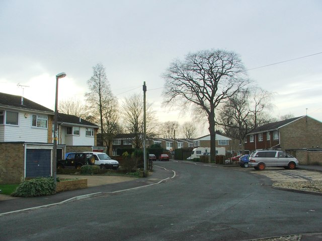
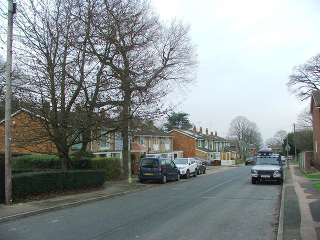
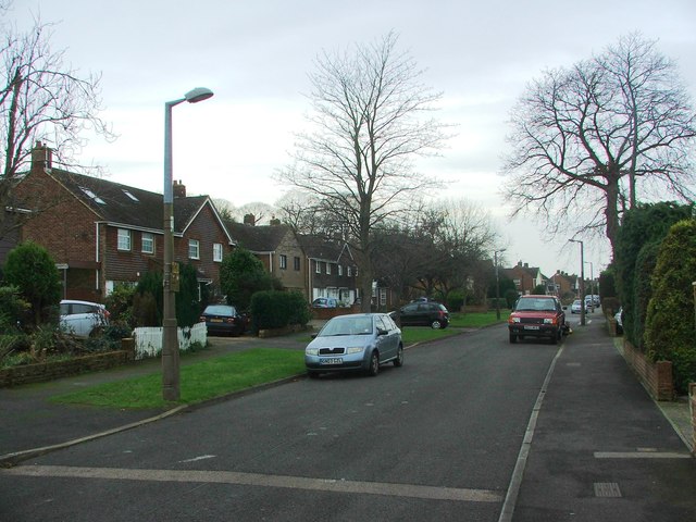
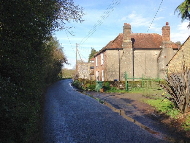
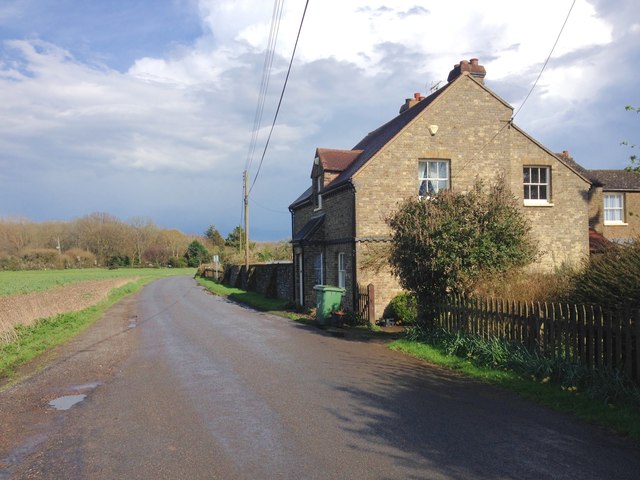
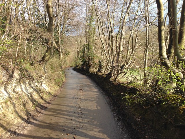
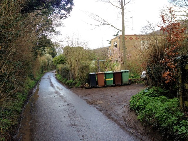
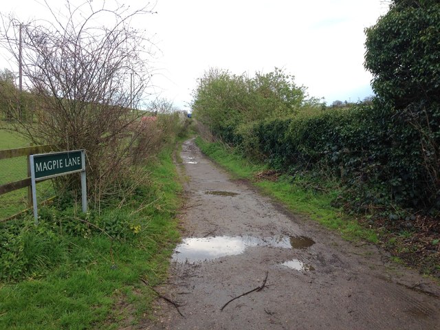
Rose's Wood Images
Images are sourced within 2km of 51.327259/0.59492031 or Grid Reference TQ8061. Thanks to Geograph Open Source API. All images are credited.


Rose's Wood is located at Grid Ref: TQ8061 (Lat: 51.327259, Lng: 0.59492031)
Administrative County: Kent
District: Maidstone
Police Authority: Kent
What 3 Words
///briefing.crunching.lessening. Near Rainham, Kent
Nearby Locations
Related Wikis

Purple Hill
Purple Hill is a 14.9-hectare (37-acre) biological Site of Special Scientific Interest south of Gillingham in Kent. It is a Nature Conservation Review...
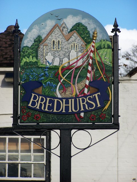
Bredhurst
Bredhurst is a village and civil parish in Kent, that forms part of the Borough of Maidstone in England. Its population was 330 (1990), increasing to 397...

Yelsted
Yelsted is a hamlet in the Borough of Maidstone, in the county of Kent, England. In 1800, Edward Hasted noted that it was spelt Gillested. It was a manor...

Medway services
Medway is a service area on the M2 motorway south of Medway, near Junction 4 in Kent, southeast England. It is managed by Moto and was previously named...

Dunn Street, Maidstone
Dunn Street is a hamlet near the village of Bredhurst and the M2 motorway, in Maidstone District, in the English county of Kent. It is south of the town...

Levan Strice
Levan Strice is a 2.8-hectare (6.9-acre) Local Nature Reserve in Wigmore in Kent. It consists mostly of woodland with public access trails. It is owned...

Park Wood, Medway
Park Wood or Parkwood is a housing estate and district in Gillingham at the south-eastern corner of the Medway conurbation in Kent, England. It was built...

Queendown Warren
Queendown Warren is a 22.2-hectare (55-acre) biological Site of Special Scientific Interest south-east of Rainham in Kent. It is a Local Nature Reserve...
Nearby Amenities
Located within 500m of 51.327259,0.59492031Have you been to Rose's Wood?
Leave your review of Rose's Wood below (or comments, questions and feedback).