Berlin Plantation
Wood, Forest in Norfolk King's Lynn and West Norfolk
England
Berlin Plantation
Berlin Plantation, Norfolk is a historic woodland area located in Norfolk, Virginia. Spread across a vast expanse, this plantation is known for its dense forest and abundant wildlife. The Berlin Plantation is situated on the eastern side of Norfolk, bordering the Chesapeake Bay, providing it with a unique coastal ecosystem.
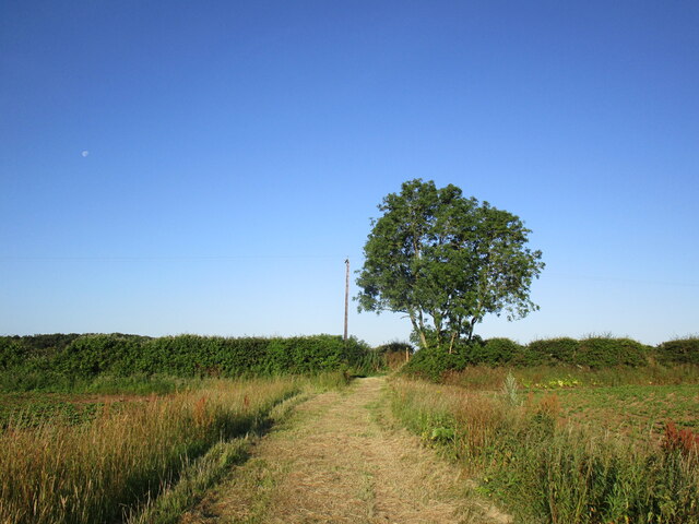
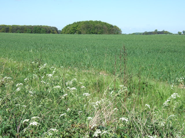
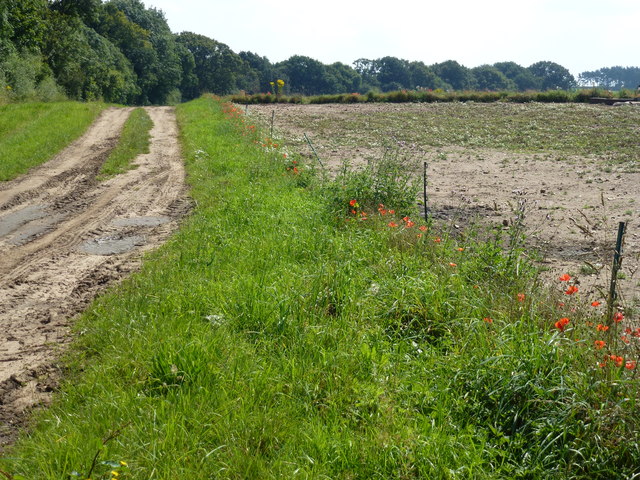
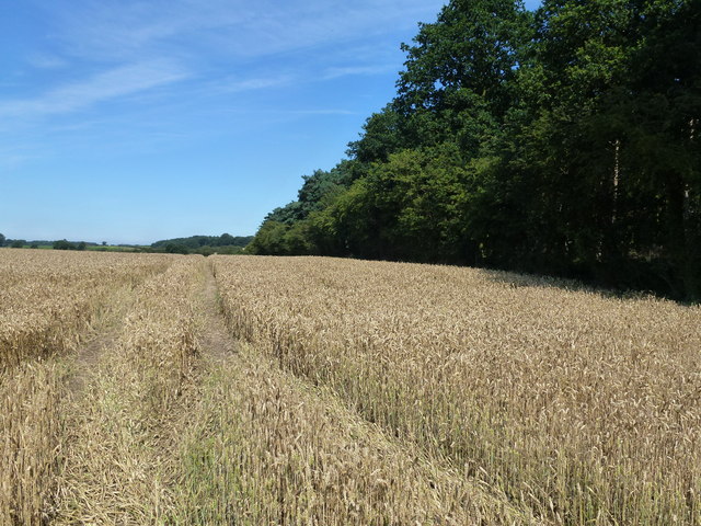
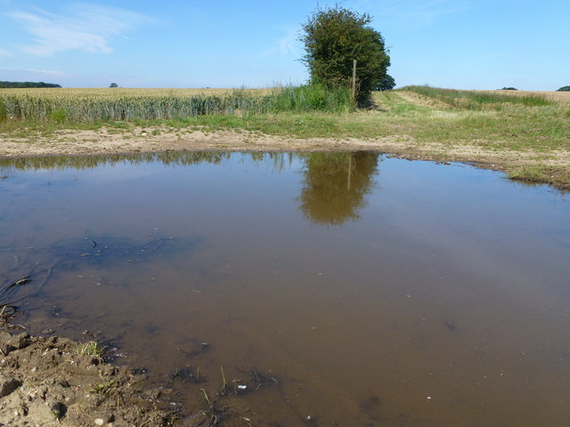
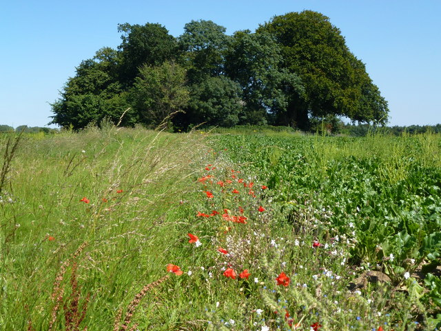
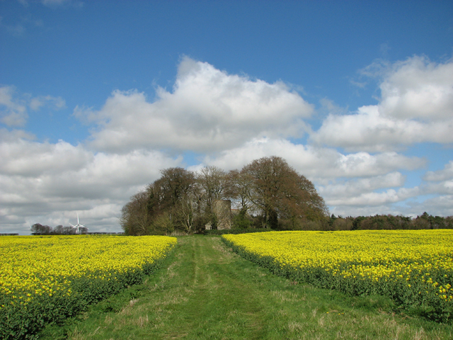
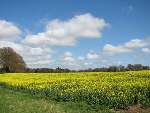
The forest of Berlin Plantation is characterized by its diverse range of tree species, including oak, pine, maple, and hickory. This variety of trees creates a rich and vibrant habitat for numerous animal species, such as deer, foxes, rabbits, and various bird species. The woodland also boasts a network of trails and pathways, allowing visitors to explore and experience the natural beauty of the area.
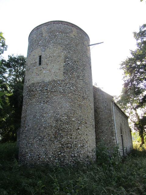
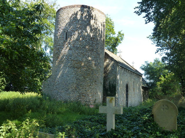
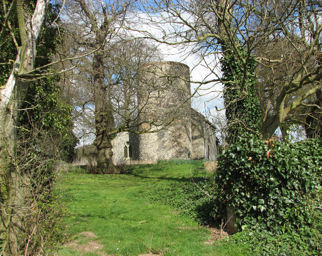
Berlin Plantation has a rich historical background, dating back to the colonial era. It was originally established as a tobacco plantation in the 17th century and has since been preserved as a natural and historical landmark. The plantation's history is intertwined with the development of Norfolk, as it played a significant role in the economic growth of the region.
Today, Berlin Plantation offers visitors a serene and tranquil setting, far removed from the hustle and bustle of urban life. It serves as a popular destination for nature enthusiasts, hikers, and birdwatchers. Additionally, the plantation offers educational programs and guided tours to educate visitors about the historical and ecological significance of the area.
In conclusion, Berlin Plantation, Norfolk is a captivating woodland that combines natural beauty with rich historical heritage. It stands as a testament to the region's past while providing a valuable sanctuary for wildlife and a peaceful retreat for visitors.
If you have any feedback on the listing, please let us know in the comments section below.
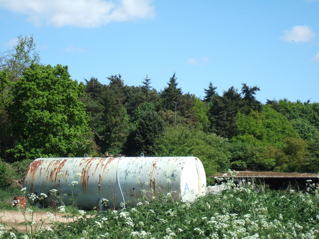
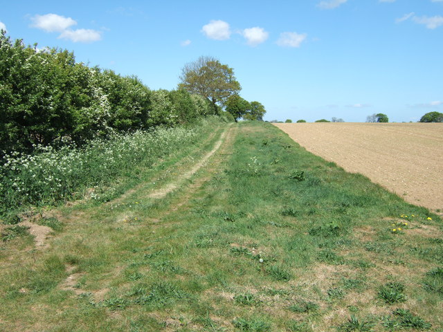
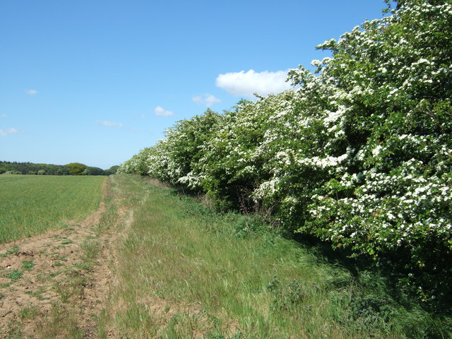
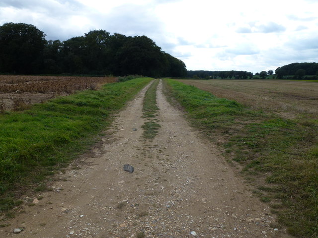
Berlin Plantation Images
Images are sourced within 2km of 52.862067/0.67723374 or Grid Reference TF8032. Thanks to Geograph Open Source API. All images are credited.
Berlin Plantation is located at Grid Ref: TF8032 (Lat: 52.862067, Lng: 0.67723374)
Administrative County: Norfolk
District: King's Lynn and West Norfolk
Police Authority: Norfolk
What 3 Words
///conquests.crowbar.bumping. Near Snettisham, Norfolk
Nearby Locations
Related Wikis

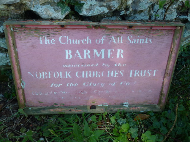
Bagthorpe with Barmer
Bagthorpe with Barmer is a civil parish in the English county of Norfolk. The parish includes the hamlets of Bagthorpe and Barmer, it is around 7+1⁄2 miles...

Barwick, Norfolk
Barwick is a scattered hamlet and civil parish in the north-west part of the English county of Norfolk. It is situated adjacent to the slightly larger...

Bagthorpe, Norfolk
Bagthorpe is a village and former civil parish, now in the parish of Bagthorpe with Barmer, in the King's Lynn and West Norfolk district, in the county...
RAF Bircham Newton
Royal Air Force Bircham Newton or more simply RAF Bircham Newton is a former Royal Air Force station located 2.1 miles (3.4 km) south east of Docking,...

Bircham Tofts
Bircham Tofts is one of the three villages that make up the civil parish of Bircham, in the west of the English county of Norfolk. The village is located...

Syderstone
Syderstone is a civil parish in the English county of Norfolk, near the town of Fakenham. It has an area of 9.94 km2 (3.84 sq mi). The population of 532...

Syderstone Common
Syderstone Common is a 43.7-hectare (108-acre) biological Site of Special Scientific Interest west of Fakenham in Norfolk. An area of 24-hectare (59-acre...
Bircham
Bircham is a civil parish in the English county of Norfolk. It includes the three villages of Great Bircham, Bircham Newton and Bircham Tofts. The parish...
Nearby Amenities
Located within 500m of 52.862067,0.67723374Have you been to Berlin Plantation?
Leave your review of Berlin Plantation below (or comments, questions and feedback).