Spanish Eliot Plantation

Wood, Forest in Norfolk King's Lynn and West Norfolk

England

Spanish Eliot Plantation

Footpath from the church at Barmer
Footpath from the church at Barmer Credit: Jonathan Thacker

The Spanish Eliot Plantation is located in Norfolk, Virginia, within the Wood, Forest area. This historical site holds great significance due to its rich history and cultural heritage. The plantation was established during the colonial era and played a crucial role in the development of the region.

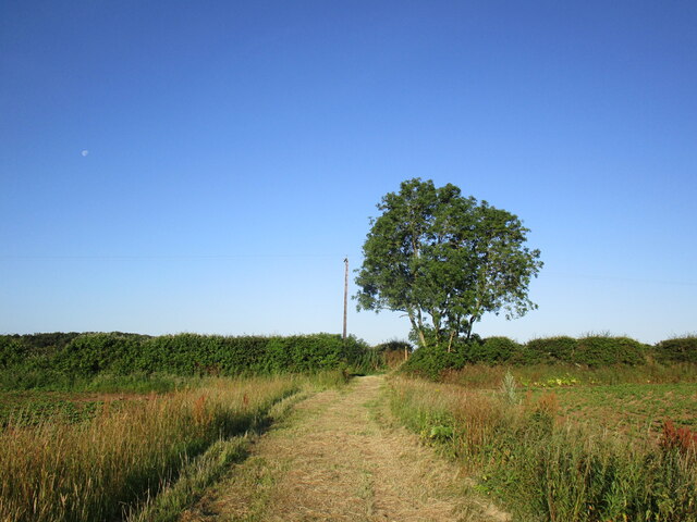
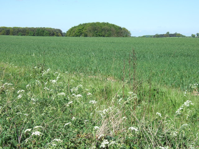
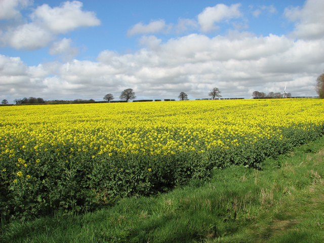
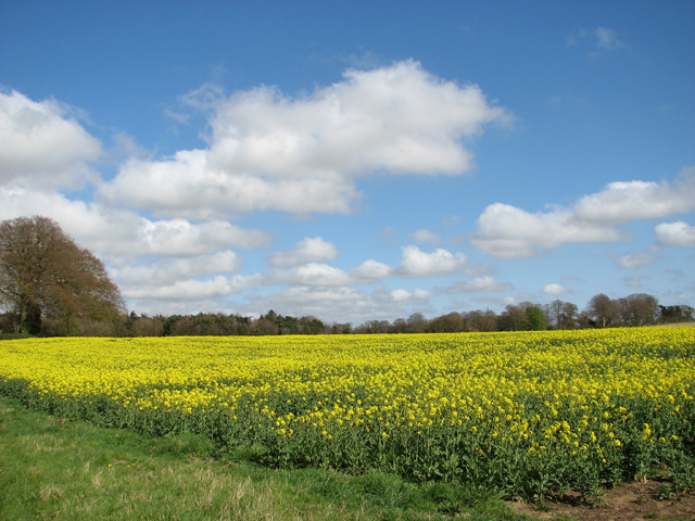
The Spanish Eliot Plantation boasts a vast expanse of land, encompassing acres of lush green forests and open fields. The landscape is characterized by its diverse flora and fauna, making it an ideal habitat for various species of plants and animals. The plantation also features a serene river that meanders through the property, providing a picturesque view and a source of water for irrigation.

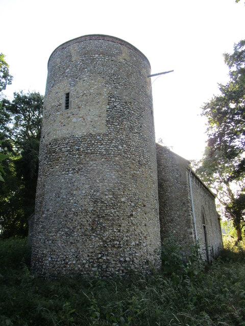
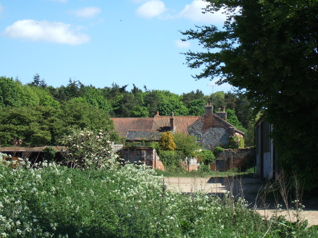
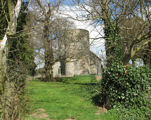
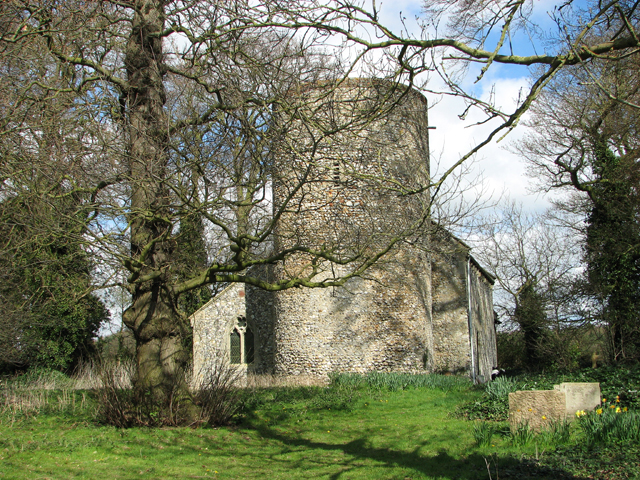
The plantation is home to several historic buildings, including the main plantation house, which showcases architectural elements from the colonial period. The interior of the house is adorned with antique furniture and artwork, giving visitors a glimpse into the lives of the plantation owners and their lifestyle.

Visitors to the Spanish Eliot Plantation can engage in various activities, such as guided tours, nature walks, and birdwatching. The plantation also hosts educational programs and events that focus on the region's history and the significance of preserving its natural resources.

Overall, the Spanish Eliot Plantation in Norfolk, Virginia, stands as a testament to the area's colonial past and serves as a beacon for historical and nature enthusiasts alike. Its scenic beauty, coupled with its cultural importance, makes it a must-visit destination for those seeking a deeper understanding of the region's heritage.

If you have any feedback on the listing, please let us know in the comments section below.

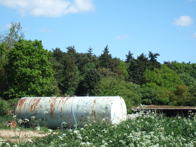
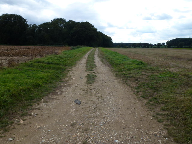
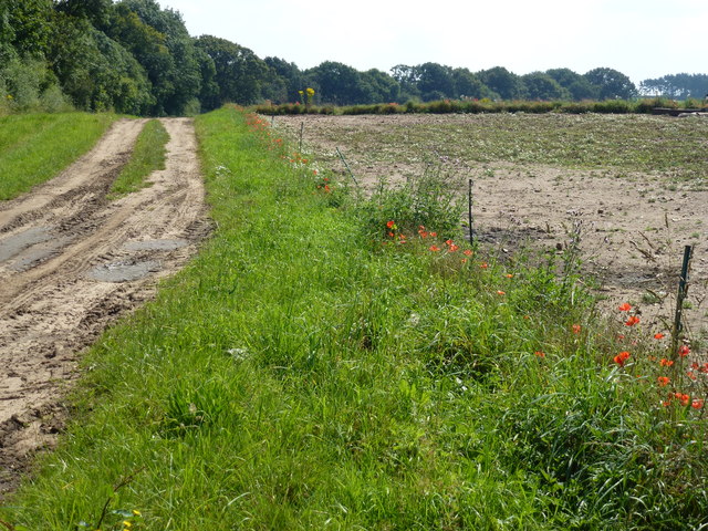
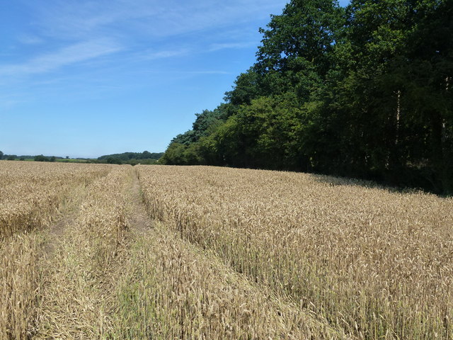
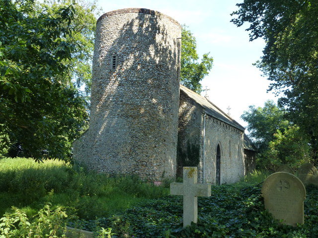
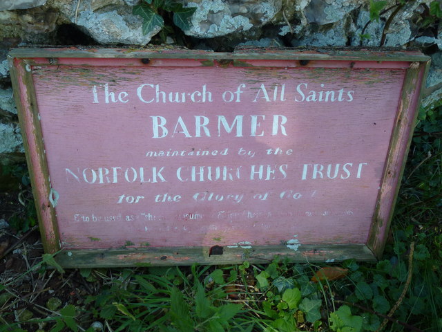
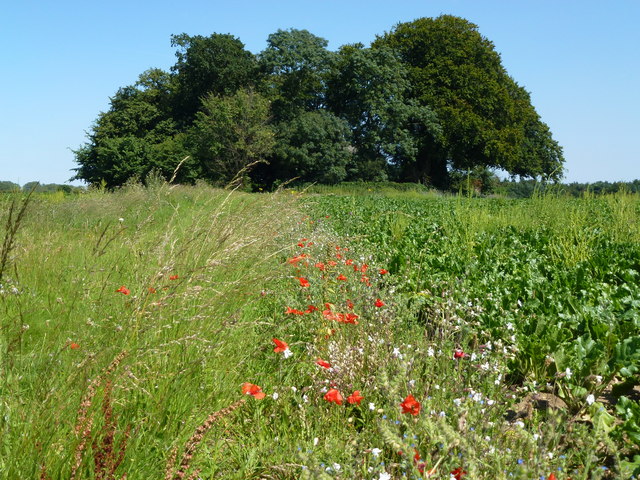
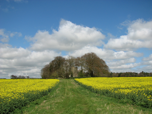
Spanish Eliot Plantation Images

Images are sourced within 2km of 52.856988/0.67276141 or Grid Reference TF8032. Thanks to Geograph Open Source API. All images are credited.

Footpath from the church at Barmer
All Saints' church, Barmer Hidden in an overgrown churchyard which has effectively become woodland.
The church is largely of the twelfth century <span class="nowrap"><a title="https://historicengland.org.uk/listing/the-list/list-entry/1077802?section=official-list-entry" rel="nofollow ugc noopener" href="https://historicengland.org.uk/listing/the-list/list-entry/1077802?section=official-list-entry">Link</a><img style="margin-left:2px;" alt="External link" title="External link - shift click to open in new window" src="https://s1.geograph.org.uk/img/external.png" width="10" height="10"/></span> and is maintained by the Norfolk Churches Trust <span class="nowrap"><a title="https://norfolkchurchestrust.org.uk/churches/barmer-all-saints/" rel="nofollow ugc noopener" href="https://norfolkchurchestrust.org.uk/churches/barmer-all-saints/">Link</a><img style="margin-left:2px;" alt="External link" title="External link - shift click to open in new window" src="https://s1.geograph.org.uk/img/external.png" width="10" height="10"/></span>
All Saints' church, Barmer
Hidden in an overgrown churchyard which has effectively become woodland. The church is largely of the twelfth century LinkExternal link and is maintained by the Norfolk Churches Trust LinkExternal link
Farmland near Barmer Common Plantation West of Syderstone in Norfolk
Farmland near Barmer Common Plantation
West of Syderstone in Norfolk
Barmer Farm, Barmer North west of Syderstone in Norfolk
Barmer Farm, Barmer
North west of Syderstone in Norfolk
Large tank at Barmer Farm, Barmer Tank A - probably used for water storage at this farm north west of Syderstone
Large tank at Barmer Farm, Barmer
Tank A - probably used for water storage at this farm north west of Syderstone
Remote undulating lane in the middle of nowhere Heading towards North Pole Farm in Norfolk
Remote undulating lane in the middle of nowhere
Heading towards North Pole Farm in Norfolk
Flint and sand track in Norfolk Between Bagthorpe and Frizzleton Farm
Flint and sand track in Norfolk
Between Bagthorpe and Frizzleton Farm
Track at the side of Berlin Plantation Near Bagthorpe in Norfolk
Track at the side of Berlin Plantation
Near Bagthorpe in Norfolk
Wheatfield next to Barmer Common Plantation A footpath runs at the edge of the plantation
Wheatfield next to Barmer Common Plantation
A footpath runs at the edge of the plantation
The Church of All Saints, Barmer, Norfolk A remote church surrounded by farmland with an uphill grass track leading to it from the busy road, see <a title="https://www.geograph.org.uk/photo/3078751" href="https://www.geograph.org.uk/photo/3078751">Link</a> There is no nearby parking and walking on the road from Barmer is not the safest walk in Norfolk. According to a sign which used to be on the tower, see <a title="https://www.geograph.org.uk/photo/525155" href="https://www.geograph.org.uk/photo/525155">Link</a> , but was on the ground covered with weeds, see <a title="https://www.geograph.org.uk/photo/3078730" href="https://www.geograph.org.uk/photo/3078730">Link</a> ,  the church is maintained by The Norfolk Churches Trust. Unfortunately it appears to be very neglected these days with just a rough narrow path to the locked main door. The graveyard is totally overgrown and choked with ivy and weeds making access to headstones impossible although externally the structure does look in good condition.
The Church of All Saints, Barmer, Norfolk
A remote church surrounded by farmland with an uphill grass track leading to it from the busy road, see Link There is no nearby parking and walking on the road from Barmer is not the safest walk in Norfolk. According to a sign which used to be on the tower, see Link , but was on the ground covered with weeds, see Link , the church is maintained by The Norfolk Churches Trust. Unfortunately it appears to be very neglected these days with just a rough narrow path to the locked main door. The graveyard is totally overgrown and choked with ivy and weeds making access to headstones impossible although externally the structure does look in good condition.
maintained by the NORFOLK CHURCHES TRUST The Church of All Saints, BARMER. Currently lacking in maintenance and Glory
maintained by the NORFOLK CHURCHES TRUST
The Church of All Saints, BARMER. Currently lacking in maintenance and Glory
Path to The Church of All Saints, Barmer, Norfolk The church is totally hidden by the trees
Path to The Church of All Saints, Barmer, Norfolk
The church is totally hidden by the trees
Grassy track to All Saints church, Barmer For a view of the church see > <a title="https://www.geograph.org.uk/photo/4435802" href="https://www.geograph.org.uk/photo/4435802">Link</a>.
Grassy track to All Saints church, Barmer
For a view of the church see > Link.
Flowering oilseed rape field in Barmer
Flowering oilseed rape by Barmer Farm
All Saints church, Barmer
Show me another place!

Spanish Eliot Plantation is located at Grid Ref: TF8032 (Lat: 52.856988, Lng: 0.67276141)

Administrative County: Norfolk

District: King's Lynn and West Norfolk

Police Authority: Norfolk

What 3 Words

///damp.slipped.submerged. Near Dersingham, Norfolk

Related Wikis

Bagthorpe with Barmer

Bagthorpe with Barmer is a civil parish in the English county of Norfolk. The parish includes the hamlets of Bagthorpe and Barmer, it is around 7+1⁄2 miles...

Bagthorpe, Norfolk

Bagthorpe is a village and former civil parish, now in the parish of Bagthorpe with Barmer, in the King's Lynn and West Norfolk district, in the county...

Bircham Tofts

Bircham Tofts is one of the three villages that make up the civil parish of Bircham, in the west of the English county of Norfolk. The village is located...

RAF Bircham Newton

Royal Air Force Bircham Newton or more simply RAF Bircham Newton is a former Royal Air Force station located 2.1 miles (3.4 km) south east of Docking,...

Nearby Amenities

Located within 500m of 52.856988,0.67276141
Bagthorpe
Place: hamlet
Lat/Long: 52.8582739/0.6689825
Telephone
Booth: K6
Covered: booth
Listed Status: Grade II
Lat/Long: 52.8578142/0.665547
Post Box
Operator: Royal Mail
Operator Wikidata: Q638098
Post Box Mounting: stone_wall
Post Box Type: wall
Ref: PE31 60
Royal Cypher: VR
Royal Cypher Wikidata: Q33102356
Lat/Long: 52.857948/0.6656985
Entrance: main
Lat/Long: 52.857493/0.6657347
The data included in this document is from www.openstreetmap.org. The data is made available under ODbL.

Have you been to Spanish Eliot Plantation?

Leave your review of Spanish Eliot Plantation below (or comments, questions and feedback).