Davis's Belt

Wood, Forest in Suffolk West Suffolk

England

Davis's Belt

Elveden: One of many entrances to the King's Forest
Elveden: One of many entrances to the King's Forest Credit: Michael Garlick

Davis's Belt is a small woodland area located in Suffolk, England, known for its picturesque beauty and rich biodiversity. Covering approximately 100 acres, the belt is situated near the village of Suffolk and is a popular destination for nature enthusiasts and hikers alike.

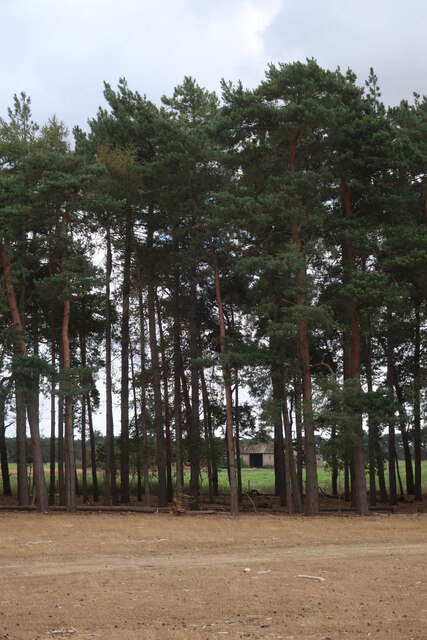
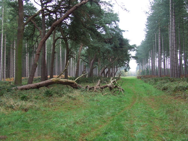
The woodland is primarily composed of native broadleaf trees, such as oak, beech, and birch, which create a dense canopy that provides shade and shelter for various wildlife species. The forest floor is adorned with a diverse range of plant species, including bluebells, wild garlic, and ferns, which contribute to the area's natural beauty.

Davis's Belt is a haven for wildlife, hosting a wide array of animal species. It is home to several bird species, including woodpeckers, tawny owls, and various songbirds, making it a birdwatcher's paradise. The woodland is also inhabited by mammals such as foxes, badgers, and deer, which can often be spotted roaming among the trees.

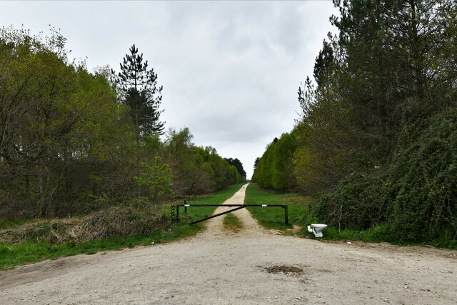
The area is crisscrossed by a network of well-maintained footpaths, allowing visitors to explore the woodland and enjoy its tranquil atmosphere. These paths lead to scenic viewpoints, hidden clearings, and a small stream that meanders through the forest, adding to the charm of the area.

Davis's Belt is managed by a local conservation group, which ensures the protection and preservation of its natural habitat. The group organizes guided walks and educational programs to raise awareness about the importance of woodland conservation.

Overall, Davis's Belt is a beautiful woodland retreat, offering visitors a chance to immerse themselves in nature and experience the tranquility of Suffolk's countryside.

If you have any feedback on the listing, please let us know in the comments section below.
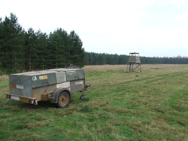
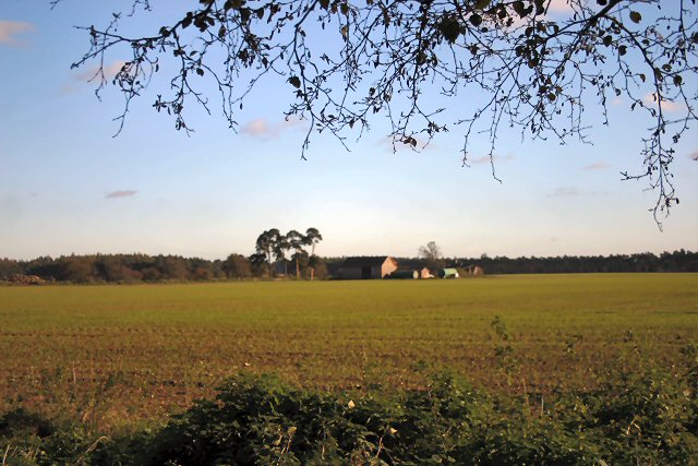
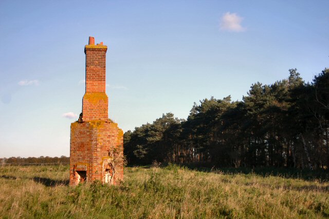
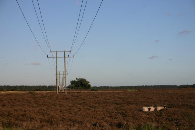
Davis's Belt Images

Images are sourced within 2km of 52.348284/0.64515798 or Grid Reference TL8075. Thanks to Geograph Open Source API. All images are credited.

Elveden: One of many entrances to the King's Forest
Elveden: One of many entrances to the King's Forest A discarded toilet.
Elveden: One of many entrances to the King's Forest
A discarded toilet.
Tree belt by Seven Tree Road
Forest Track Forest track near to Icklingham, Suffolk.
Forest Track
Forest track near to Icklingham, Suffolk.
Forest View Forest commission trailer and tower in the forest near to Icklingham, Suffolk.
Forest View
Forest commission trailer and tower in the forest near to Icklingham, Suffolk.
Bernersfield Farm Looking eastwards from Seven Tree Road.
Bernersfield Farm
Looking eastwards from Seven Tree Road.
Remains of old cottage North of Bernersfield Farm.
Remains of old cottage
North of Bernersfield Farm.
Seven Tree Road Looking northwards along the route of the byway.
Seven Tree Road
Looking northwards along the route of the byway.
Fields near Bernersfield Farm Looking east towards the edge of Thetford Forest.
Fields near Bernersfield Farm
Looking east towards the edge of Thetford Forest.
Davis's Belt Looking east towards Thetford Forest.
Davis's Belt
Looking east towards Thetford Forest.
Berner's Heath Open fields north of Bernersfield Farm.
Berner's Heath
Open fields north of Bernersfield Farm.
Berner's Heath Sheep grazing on heathland.
Berner's Heath
Sheep grazing on heathland.
Berner's Heath Looking north-east from Seven Tree Road.
Berner's Heath
Looking north-east from Seven Tree Road.
The Bothy A field to the west of Seven Tree Road.
The Bothy
A field to the west of Seven Tree Road.
Sandy Track Sandy track next to Berner's Heath near to Elveden, Suffolk.
Sandy Track
Sandy track next to Berner's Heath near to Elveden, Suffolk.
Open Access land at Berner's Heath Access to this area of open heathland at Berner's Heath is only permitted between November and February (inclusive). At other times access is not allowed, in order to allow ground-nesting birds to flourish.
Open Access land at Berner's Heath
Access to this area of open heathland at Berner's Heath is only permitted between November and February (inclusive). At other times access is not allowed, in order to allow ground-nesting birds to flourish.
Telegraph wires on Berner's Heath Looking south-westwards across Open Access land on Berner's Heath. The opposite view can be seen at <a href="https://www.geograph.org.uk/photo/276092">TL7976 : Berner's Heath</a>.
Telegraph wires on Berner's Heath
Looking south-westwards across Open Access land on Berner's Heath. The opposite view can be seen at TL7976 : Berner's Heath.
Depression on Berner's Heath The origin of this depression on Berner's Heath is not known. It appears to be a regular-shaped crater, possibly man-made. Alternatively, it may be a dry pingo pond, formed when an ice mound in the topsoil melted and collapsed to form pools at the end of the last Ice Age.
Depression on Berner's Heath
The origin of this depression on Berner's Heath is not known. It appears to be a regular-shaped crater, possibly man-made. Alternatively, it may be a dry pingo pond, formed when an ice mound in the topsoil melted and collapsed to form pools at the end of the last Ice Age.
Show me another place!

Davis's Belt is located at Grid Ref: TL8075 (Lat: 52.348284, Lng: 0.64515798)

Administrative County: Suffolk

District: West Suffolk

Police Authority: Suffolk

What 3 Words

///livid.ultra.bedding. Near Mildenhall, Suffolk

Nearby Locations

Davis's Belt

Related Wikis

Berner's Heath

Berner's Heath is a 236.9-hectare (585-acre) biological Site of Special Scientific Interest north-east of Icklingham in Suffolk. It is a Nature Conservation...

Deadman's Grave, Icklingham

Deadman's Grave, Icklingham is a 127.3-hectare (315-acre) biological Site of Special Scientific Interest north-east of Icklingham in Suffolk. It is a Nature...

Weather and Horn Heaths, Eriswell

Weather and Horn Heaths, Eriswell is a 133.3-hectare (329-acre) biological Site of Special Scientific Interest east of Eriswell in Suffolk. It is a Nature...

All Saints' Church, Icklingham

All Saints' Church is a redundant Anglican church in the village of Icklingham, Suffolk, England. It is recorded in the National Heritage List for England...

Nearby Amenities

Located within 500m of 52.348284,0.64515798
Barrier: kissing_gate
Lat/Long: 52.3516012/0.6494953
Barrier: kissing_gate
Lat/Long: 52.3457074/0.6409466
The data included in this document is from www.openstreetmap.org. The data is made available under ODbL.

Have you been to Davis's Belt?

Leave your review of Davis's Belt below (or comments, questions and feedback).