George the Fourth Wood
Wood, Forest in Suffolk West Suffolk
England
George the Fourth Wood
George the Fourth Wood is a picturesque woodland located in the county of Suffolk, England. Situated in the heart of Suffolk, this enchanting forest covers an area of approximately 100 acres, making it an ideal destination for nature lovers and outdoor enthusiasts.
The wood takes its name from King George IV, who reigned over the United Kingdom from 1820 to 1830. It is believed that the wood was named in his honor during his visit to Suffolk, although there is limited historical documentation to support this claim.
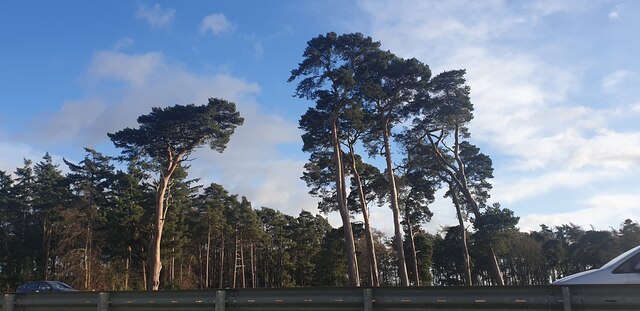
The woodland boasts a diverse range of tree species, including oak, beech, birch, and pine, creating a rich and vibrant ecosystem. The dense canopy provides a haven for various wildlife species, such as deer, foxes, rabbits, and a plethora of bird species. It is not uncommon to spot woodpeckers, owls, and other woodland birds during a visit to George the Fourth Wood.
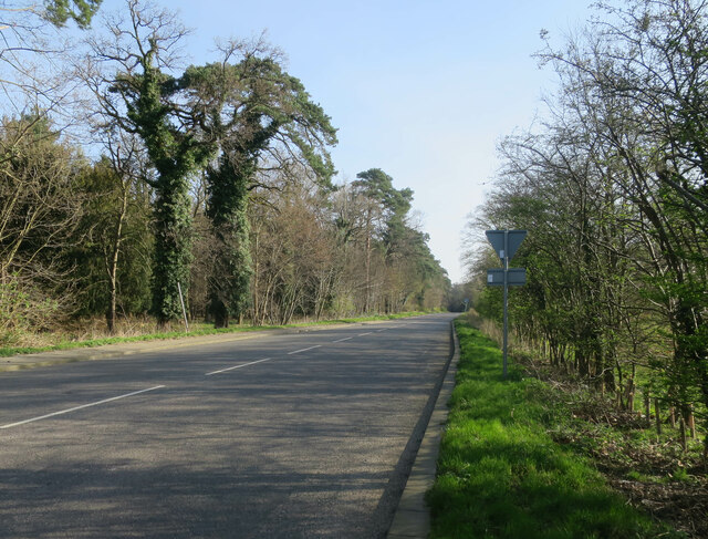
The forest offers several well-maintained trails and footpaths, allowing visitors to explore its natural beauty at their own pace. These paths wind through the lush greenery, offering stunning views of the surrounding countryside and the opportunity to immerse oneself in the tranquil ambiance of the wood.
George the Fourth Wood is a popular destination for outdoor activities such as hiking, birdwatching, and photography. It also serves as a peaceful retreat for those seeking a break from the bustling city life. With its serene atmosphere, abundant wildlife, and natural charm, George the Fourth Wood undoubtedly captivates the hearts of all who venture into its enchanting embrace.
If you have any feedback on the listing, please let us know in the comments section below.
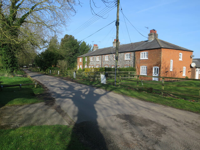
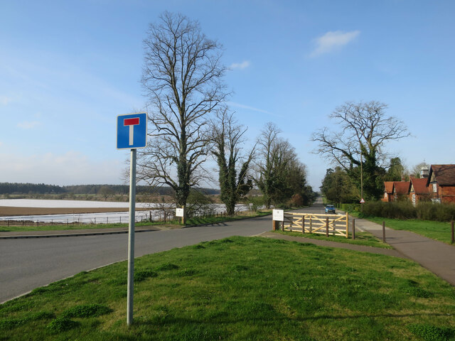
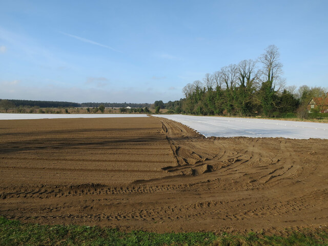
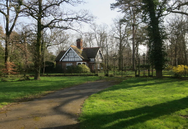
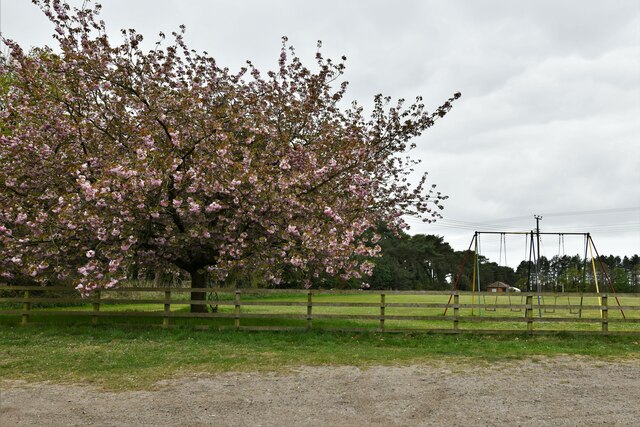
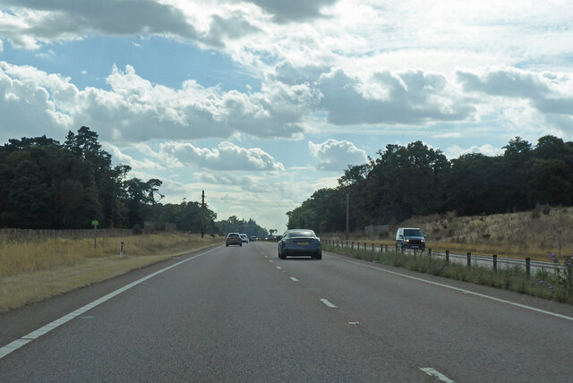
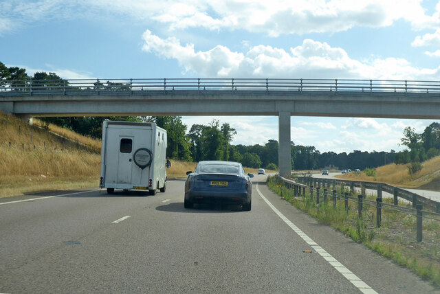
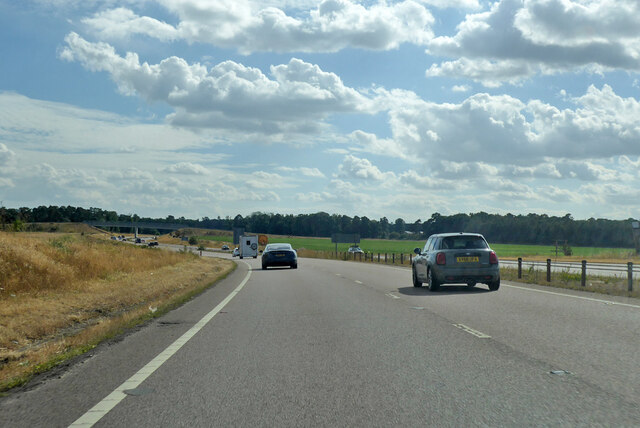
George the Fourth Wood Images
Images are sourced within 2km of 52.376986/0.64685892 or Grid Reference TL8078. Thanks to Geograph Open Source API. All images are credited.


George the Fourth Wood is located at Grid Ref: TL8078 (Lat: 52.376986, Lng: 0.64685892)
Administrative County: Suffolk
District: West Suffolk
Police Authority: Suffolk
What 3 Words
///appealing.communal.barman. Near Thetford, Norfolk
Nearby Locations
Related Wikis

Berner's Heath
Berner's Heath is a 236.9-hectare (585-acre) biological Site of Special Scientific Interest north-east of Icklingham in Suffolk. It is a Nature Conservation...

Weather and Horn Heaths, Eriswell
Weather and Horn Heaths, Eriswell is a 133.3-hectare (329-acre) biological Site of Special Scientific Interest east of Eriswell in Suffolk. It is a Nature...

Elveden
Elveden is a village and civil parish in the West Suffolk district of Suffolk in eastern England. In 2005 it had a population of 270. The village is bypassed...

Elveden Hall
Elveden Hall is a large stately home on the Elveden Estate in Elveden, Suffolk, England. The seat of the Earls of Iveagh, it is a Grade II* listed building...

Breckland Farmland
Breckland Farmland is a 13,392.4 hectare biological Site of Special Scientific Interest (SSSI) in many separate areas between Swaffham in Norfolk and Bury...

Lakenheath Warren
Lakenheath Warren is a 588.3-hectare (1,454-acre) biological Site of Special Scientific Interest south-east of Lakenheath in Suffolk, England. It is a...

Breckland Forest
Breckland Forest is an 18,126 hectare biological and geological Site of Special Scientific Interest in many separate areas between Swaffham in Norfolk...

Deadman's Grave, Icklingham
Deadman's Grave, Icklingham is a 127.3-hectare (315-acre) biological Site of Special Scientific Interest north-east of Icklingham in Suffolk. It is a Nature...
Nearby Amenities
Located within 500m of 52.376986,0.64685892Have you been to George the Fourth Wood?
Leave your review of George the Fourth Wood below (or comments, questions and feedback).